Photo: Wikipedia
Strategic Assessment of Snohomish County
Meaningful friction. Expect exposure to either population pressure, blast zones, or natural disaster risk. Consider buying a retreat property.
What does the Strategic Assessment tell us?
Our Strategic Assessment grades tactical survivability of an area. Major population centers, military targets, fallout zones, natural disasters, and border exposure all drive risk — lower exposure means a more defensible position in a crisis.
This is heavily inspired by Joel Skousen's Strategic Relocation book. Highly recommended you checkout the book ($)What does this tell us?
Our Strategic Assessment grades tactical survivability of an area. Major population centers, military targets, fallout zones, natural disasters, and border exposure all drive risk — lower exposure means a more defensible position in a crisis.
This is heavily inspired by Joel Skousen's Strategic Relocation book. Highly recommended you checkout the book ($)Strategic Pillars

Key Distances
Strategic Assessment Analysis
Snohomish County offers a compelling mix of natural resources and strategic positioning for the relocation-minded individual or family, but its proximity to major urban and industrial targets demands a clear-eyed assessment. Stretching from the Puget Sound shoreline east into the Cascade foothills, the county provides a buffer from Seattle’s core while still being close enough for employment and supply runs. For a reader prioritizing disaster readiness and self-sufficiency, the key question is whether the county’s geographic advantages outweigh its exposure to risks from nearby critical infrastructure and population centers.
Geographic position and natural advantages for long-term stability
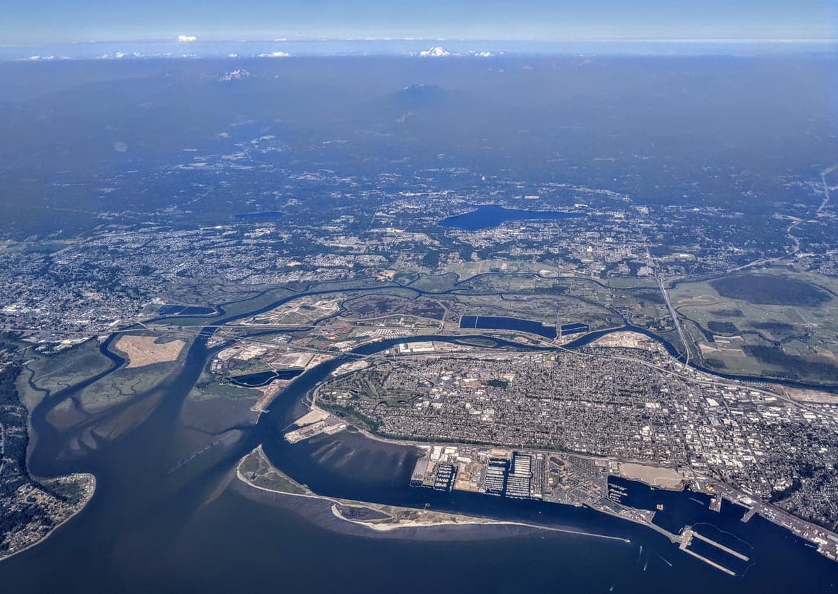
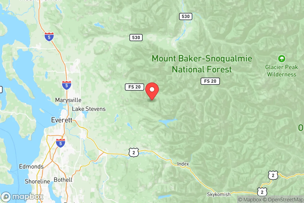
Snohomish County’s geography is its strongest asset for resilience. The county is bisected by the Snohomish River and its tributaries, with the Cascade Range forming its eastern boundary. This creates a natural funnel for resources and movement: the fertile river valleys around Monroe and Arlington support agriculture, while the forested uplands near Granite Falls and Darrington offer timber, water, and defensible terrain. The county’s eastern half is sparsely populated, with small towns like Sultan and Index sitting at the edge of the Mount Baker-Snoqualmie National Forest. This gives a relocator options—you can live within 30 minutes of Everett’s job base but still have a retreat property with well water and solar potential. The county also benefits from the Olympic Rain Shadow effect in its western portions, meaning less precipitation than areas immediately west of the Olympics, though the eastern foothills still receive heavy snowpack that feeds year-round streams. For a self-sufficient setup, the ability to draw from multiple microclimates (coastal lowlands, river valleys, mountain slopes) within a 45-minute drive is a practical advantage few other Washington counties can match.
Risks, exposures, and proximity to fallout-relevant landmarks
The county’s strategic value is undercut by its proximity to several high-value targets. Naval Station Everett, home to the USS Nimitz carrier strike group, is a Tier-1 military asset sitting on the Snohomish County waterfront. Any major conflict involving the U.S. Navy would make this a primary target for conventional or asymmetric attack. Additionally, the Phillips 66 refinery in Ferndale (just north of the county line) and the BP Cherry Point refinery in Whatcom County are part of a dense industrial corridor along the Puget Sound. While these are technically outside Snohomish County, prevailing winds from the south and west could carry fallout or hazardous material plumes into the county’s northern and central areas. The Boeing Everett Factory, the world’s largest building by volume, is a civilian industrial target that sits on Paine Field. A conventional strike or EMP event affecting this facility would disrupt global aerospace supply chains and could trigger secondary hazards (fuel storage, chemical handling). For a relocator, the takeaway is clear: avoid living within 10 miles of Everett’s waterfront or Paine Field. The eastern towns—Granite Falls, Darrington, Index—are far enough from these targets to reduce direct risk, but they still lie under potential fallout corridors from a Puget Sound strike. The county’s major highways (I-5, US 2, SR 9) are chokepoints that would become evacuation or supply corridors during a crisis, meaning anyone living near them faces congestion and security risks.
Practical resilience for a relocator: food, water, energy, and defensibility
For a family or individual serious about self-sufficiency, Snohomish County offers strong fundamentals but requires deliberate planning. Water is abundant: the county averages 35-50 inches of rain annually, with the eastern mountains receiving over 100 inches of snowpack. Surface water from the Skykomish, Stillaguamish, and Snohomish rivers is accessible, but well permits in the eastern unincorporated areas are generally available and groundwater quality is good. Food production is viable in the river valleys—the Snohomish River delta near Everett and the Skykomish Valley near Monroe have rich alluvial soils. The county has a strong network of farmers’ markets and U-pick operations, but for a relocator, the real value is in the ability to grow cool-season crops (potatoes, carrots, brassicas) and raise small livestock on 5-10 acres. The Everett Farmers Market and Monroe Farmers Market are year-round options for supplementing home production. Energy is a mixed picture: the county is served by the Snohomish County PUD, which provides reliable hydroelectric power from the Sultan River and other dams. However, the grid is vulnerable to earthquake damage (the Cascadia subduction zone) and cyberattack. Solar potential is moderate—the western lowlands get about 3.5 peak sun hours per day in winter—but micro-hydro from a creek or stream is a realistic option for properties in the foothills. Defensibility is best in the eastern half: the terrain becomes rugged, with limited road access (only SR 92 and the Mountain Loop Highway into the interior). Towns like Darrington and Index are natural chokepoints, but they also lack the population density to form a large mutual-aid network. A relocator should plan to be part of a small, self-reliant community rather than relying on county-level emergency services, which are concentrated in the urbanized west.
The overall strategic picture for Snohomish County is one of conditional viability. For a relocator who can secure property east of the I-5 corridor—ideally in the Skykomish or Stillaguamish valleys—the county offers a rare combination of water security, agricultural potential, and defensible terrain within a two-hour drive of a major metro area. The risks from naval and industrial targets in Everett and the refinery corridor to the north are real but manageable if you choose your location carefully and avoid the urbanized western strip. The county’s emergency management infrastructure is competent but not designed for a full-scale disaster scenario; the 2021 heat dome and 2023 flooding events exposed gaps in communication and resource distribution for rural residents. For a family willing to invest in off-grid water and power, and to build relationships with neighbors in small towns like Sultan or Granite Falls, Snohomish County can serve as a resilient base. But it is not a bug-out location—it is a working landscape with real vulnerabilities that require active mitigation. The smart move is to treat it as a long-term homesteading zone, not a fortress, and to stay informed about the county’s hazard mitigation plan and local emergency radio networks.

* Values derived from national, state, county, city and local statistics and may differ in a specific area. Last updated: 2026-06-16T00:29:23.000Z
Narrative content on this page is AI-generated and may contain mistakes. Verify any details that matter before acting on them.
ReloMaps may earn a commission from affiliate links at no extra cost to you.

