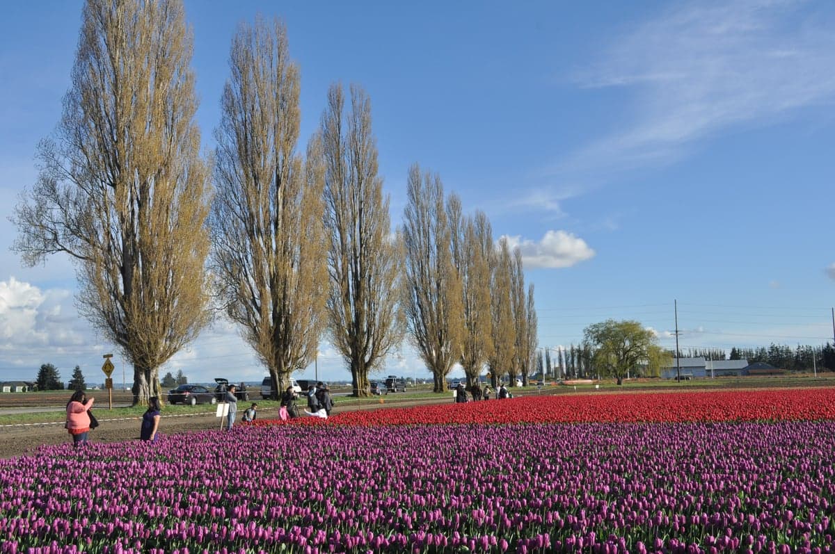
Photo: Wikipedia
Strategic Assessment of Skagit County
Workable tactical position. Some exposure to population density or targets, but generally defensible in a crisis.
What does the Strategic Assessment tell us?
Our Strategic Assessment grades tactical survivability of an area. Major population centers, military targets, fallout zones, natural disasters, and border exposure all drive risk — lower exposure means a more defensible position in a crisis.
This is heavily inspired by Joel Skousen's Strategic Relocation book. Highly recommended you checkout the book ($)What does this tell us?
Our Strategic Assessment grades tactical survivability of an area. Major population centers, military targets, fallout zones, natural disasters, and border exposure all drive risk — lower exposure means a more defensible position in a crisis.
This is heavily inspired by Joel Skousen's Strategic Relocation book. Highly recommended you checkout the book ($)Strategic Pillars

Key Distances
Strategic Assessment Analysis
Skagit County offers a compelling mix of geographic isolation and practical resource abundance that makes it a serious contender for relocation-minded individuals and families focused on long-term resilience. Positioned between the major metropolitan areas of Seattle and Vancouver, BC, yet buffered by the Cascade Range and the Salish Sea, the county provides a strategic buffer zone that is both accessible and defensible. Its agricultural base, ample freshwater, and relatively low population density create a foundation for self-sufficiency that is rare in the Pacific Northwest, though proximity to certain critical infrastructure and natural hazard zones requires careful consideration.
Geographic position and natural advantages for long-term stability
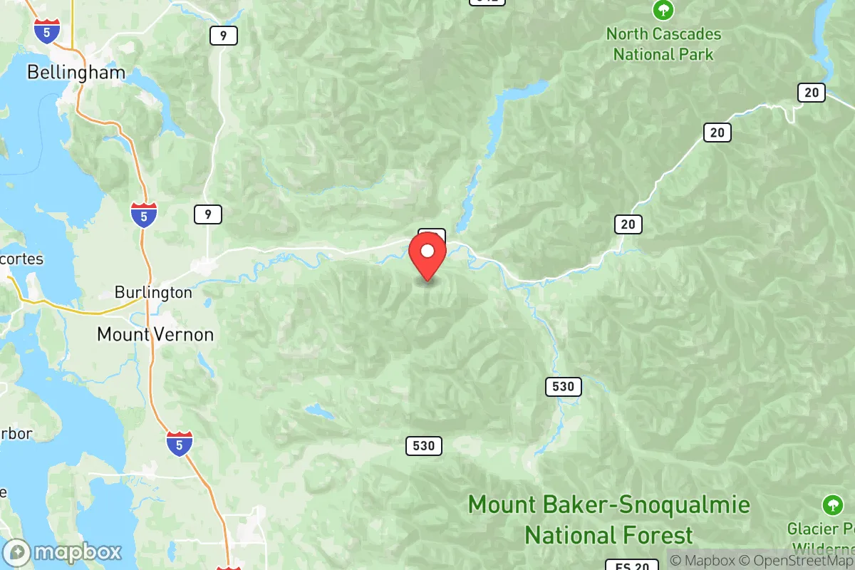
Skagit County's location is defined by its position in the Skagit River Valley, a fertile floodplain flanked by the North Cascades to the east and the San Juan Islands and Strait of Juan de Fuca to the west. The county seat, Mount Vernon, sits at the heart of this valley, while Burlington and Sedro-Woolley anchor the northern and eastern edges. The terrain offers a natural funnel effect: the only major land routes into the county are Interstate 5 and State Route 20, both of which pass through narrow mountain passes or river corridors that could be monitored or controlled in a crisis. The Cascade Range provides a formidable eastern barrier, while the saltwater boundary to the west limits overland access from the Olympic Peninsula. This geography gives Skagit a distinct defensive advantage over more exposed areas like the I-5 corridor south of Everett. The county also benefits from the Skagit River and its tributaries, which supply abundant freshwater for irrigation and household use, and the region's mild maritime climate supports year-round growing seasons for a wide range of crops.
Risks, exposures, and proximity to fallout-relevant landmarks
While Skagit County is not a primary target for strategic strikes, it sits within the shadow of several high-value assets that could draw secondary effects. The Anacortes Refinery, located on Fidalgo Island just west of the county, is one of the largest oil refineries in the Pacific Northwest and a clear industrial target. A major incident there—whether from accident or attack—could release toxic plumes or disrupt fuel supplies across the region. Additionally, the county lies roughly 60 miles north of Naval Air Station Whidbey Island, a key military installation that could be a primary target in a conflict. Fallout patterns from a strike on NAS Whidbey or the refinery could drift over southern Skagit County depending on prevailing winds. The county is also exposed to natural hazards: the Skagit River floodplain is prone to significant flooding during heavy rain and snowmelt events, and the region sits in a seismically active zone with the potential for a Cascadia Subduction Zone earthquake. Tsunami risk is low for inland areas but real for coastal communities like La Conner and the Swinomish Reservation. These risks are manageable with proper planning but should not be ignored.
Practical resilience for a relocator: food, water, energy, and defensibility
Skagit County is one of the most agriculturally productive regions in Washington, with over 100,000 acres of farmland producing berries, potatoes, dairy, and livestock. This means local food security is high, and residents with land can easily supplement their diet with homegrown produce. The county's water supply is robust, drawing from the Skagit River and numerous groundwater aquifers, though water rights and well permitting are regulated and should be verified before purchasing property. Energy infrastructure is mixed: the county is served by Puget Sound Energy and several public utility districts, but the grid is vulnerable to outages from storms, earthquakes, or cyberattacks. Solar potential is moderate due to cloud cover, but micro-hydro from the many creeks and rivers is a viable off-grid option for properties with elevation. Defensibility is strong in the eastern foothills and mountain valleys, where narrow roads and limited access points make it easier to secure a homestead. The county's population of roughly 130,000 is spread across small towns and rural areas, meaning neighbors are present but not dense—a balance that supports community resilience without the downsides of urban crowding. Sedro-Woolley and Concrete offer more affordable land with access to forest resources, while Mount Vernon and Burlington provide supply hubs for tools, hardware, and medical services.
Overall, Skagit County presents a strong strategic option for those seeking a balance between isolation and access, with a natural resource base that supports long-term self-sufficiency. Its primary weaknesses are its proximity to a major refinery and a naval air station, both of which could become liabilities in a broader conflict, and its vulnerability to flooding and seismic events. For a relocator willing to invest in flood mitigation, off-grid energy, and community ties, Skagit offers one of the more resilient environments in the Pacific Northwest without requiring a complete retreat from civilization. The key is to choose a property east of the I-5 corridor, away from the floodplain and the refinery's shadow, and to build redundancy into water and power systems from the start.

* Values derived from national, state, county, city and local statistics and may differ in a specific area. Last updated: 2026-07-29T12:57:21.000Z
Narrative content on this page is AI-generated and may contain mistakes. Verify any details that matter before acting on them.
ReloMaps may earn a commission from affiliate links at no extra cost to you.

