
Photo: Wikipedia
Strategic Assessment of Prince Edward County
Workable tactical position. Some exposure to population density or targets, but generally defensible in a crisis.
What does the Strategic Assessment tell us?
Our Strategic Assessment grades tactical survivability of an area. Major population centers, military targets, fallout zones, natural disasters, and border exposure all drive risk — lower exposure means a more defensible position in a crisis.
This is heavily inspired by Joel Skousen's Strategic Relocation book. Highly recommended you checkout the book ($)What does this tell us?
Our Strategic Assessment grades tactical survivability of an area. Major population centers, military targets, fallout zones, natural disasters, and border exposure all drive risk — lower exposure means a more defensible position in a crisis.
This is heavily inspired by Joel Skousen's Strategic Relocation book. Highly recommended you checkout the book ($)Strategic Pillars

Key Distances
Strategic Assessment Analysis
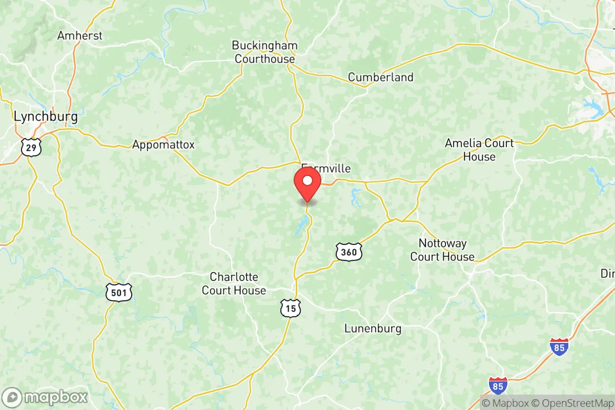
Prince Edward County, Virginia, offers a compelling strategic position for relocators prioritizing resilience and self-sufficiency, balancing rural seclusion with practical access to critical infrastructure. Located roughly 60 miles southwest of Richmond and 85 miles west of Norfolk, the county sits in the rolling Piedmont region, far from major metropolitan blast zones and coastal storm surges. Its location along U.S. Route 460 and U.S. Route 15 provides reliable ground routes away from the congested I-95 corridor, while the county seat of Farmville serves as the primary population and service hub.
Geographic position and natural advantages for long-term stability
Prince Edward County's inland Piedmont location provides significant natural buffers against both coastal and urban threats. The county sits at elevations ranging from 300 to 600 feet above sea level, well above the flood-prone Tidewater region, and is positioned over 100 miles from the Atlantic coast and the James River ship channel. This distance eliminates storm surge risk from hurricanes and places the area outside the immediate fallout zones of Hampton Roads' naval installations and the Port of Virginia's cargo terminals. The Appomattox River runs along the county's northern border, while the Sandy River and Buffalo Creek drain the interior, providing multiple surface water sources. The surrounding landscape of mixed hardwood forests and agricultural land offers natural cover and resources, with the county's 36% forest cover supporting wildlife populations and timber resources. The area's clay-based soils, while challenging for gardening, provide excellent groundwater filtration and reduce the risk of well contamination compared to sandy coastal plains.
Risks, exposures, and proximity to potential fallout-relevant landmarks
While Prince Edward County avoids the highest-risk zones, several factors warrant consideration. The county lies approximately 50 miles southwest of Richmond, home to the James River chemical corridor and the Dominion Energy Chesterfield Power Station, a major natural gas and coal facility. The Fort Barfoot Army National Guard training center (formerly Fort Pickett) sits just 15 miles east in Nottoway County, a potential secondary target or staging area during national emergencies. The county's own infrastructure includes the Hampden-Sydney College campus and the Longwood University campus in Farmville, which could become congregation points during crises. The Norfolk Southern rail line running through Farmville connects to the Port of Virginia, making it a potential chokepoint for supply chain disruptions. Tornado risk is moderate, with the county averaging 2-3 tornado warnings annually, while the primary natural hazard is flash flooding along the Appomattox River floodplain during tropical remnants. The county's rural character means emergency response times can exceed 20 minutes in the most remote areas, and the Centra Southside Community Hospital in Farmville is the only acute care facility within 30 miles.
Practical resilience for a relocator: food, water, energy, and defensibility
Prince Edward County offers strong practical resilience for those committed to self-sufficiency. The county's agricultural base includes over 400 farms producing tobacco, soybeans, corn, and livestock, with the Farmville Farmers Market operating seasonally and multiple roadside stands throughout the county. The Prince Edward County Water Authority serves Farmville and surrounding areas from groundwater wells, while rural properties typically rely on private wells with average depths of 150-300 feet, providing reliable water independent of municipal systems. Septic systems are standard for rural homes, eliminating sewer dependency. For energy, Dominion Energy provides grid electricity, but the county's tree canopy makes above-ground lines vulnerable during storms; solar potential is moderate at 4.5 peak sun hours daily, and wood heating is common given the forested landscape. The county's low population density of roughly 60 people per square mile and its network of secondary roads create natural defensibility, with limited entry points from major highways. The Prince Edward County Sheriff's Office maintains a 24/7 presence, but response times in the most rural areas mean relocators should plan for self-reliance. The Virginia Department of Emergency Management coordinates regional resources through the Piedmont region, with the county participating in the Central Virginia Emergency Management Alliance.
Overall, Prince Edward County presents a balanced strategic picture for the resilience-minded relocator. Its inland Piedmont position offers genuine protection from coastal threats and major urban fallout zones, while its agricultural capacity and water resources support long-term self-sufficiency. The trade-offs are real: limited medical infrastructure, moderate tornado risk, and proximity to Richmond's industrial corridor require honest assessment and preparation. For families and individuals willing to invest in well water, solar backup, and food storage, the county provides a defensible, resource-rich base that avoids the highest-risk zones while maintaining practical access to regional supply chains and services. The key is understanding that Prince Edward County is not a bunker location but a working rural community where resilience comes from active participation in local networks and deliberate preparation rather than geographic isolation alone.

* Values derived from national, state, county, city and local statistics and may differ in a specific area. Last updated: 2026-10-24T12:07:31.000Z
Narrative content on this page is AI-generated and may contain mistakes. Verify any details that matter before acting on them.
ReloMaps may earn a commission from affiliate links at no extra cost to you.

