
Strategic Assessment of Manassas Park City County
Meaningful friction. Expect exposure to either population pressure, blast zones, or natural disaster risk. Consider buying a retreat property.
What does the Strategic Assessment tell us?
Our Strategic Assessment grades tactical survivability of an area. Major population centers, military targets, fallout zones, natural disasters, and border exposure all drive risk — lower exposure means a more defensible position in a crisis.
This is heavily inspired by Joel Skousen's Strategic Relocation book. Highly recommended you checkout the book ($)What does this tell us?
Our Strategic Assessment grades tactical survivability of an area. Major population centers, military targets, fallout zones, natural disasters, and border exposure all drive risk — lower exposure means a more defensible position in a crisis.
This is heavily inspired by Joel Skousen's Strategic Relocation book. Highly recommended you checkout the book ($)Strategic Pillars

Key Distances
Strategic Assessment Analysis
Manassas Park City County, Virginia, presents a mixed strategic picture for the relocation-minded individual or family prioritizing resilience and self-sufficiency. While it offers the undeniable advantages of a robust local economy and proximity to federal employment, its position within the densely populated Washington, D.C. metropolitan area introduces significant vulnerabilities that must be weighed carefully. The city’s small geographic footprint and deep integration into the regional infrastructure mean that its resilience is less a function of its own resources and more a reflection of its ability to navigate the risks and dependencies of a major urban corridor.
Geographic position and natural advantages in Northern Virginia
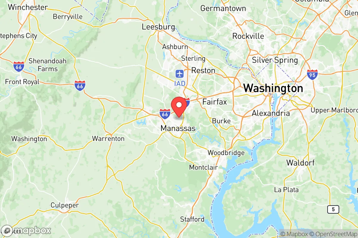
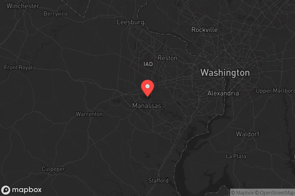
Manassas Park is situated in the Piedmont region of Northern Virginia, roughly 30 miles west of Washington, D.C. This location places it at a strategic crossroads, with easy access to Interstate 66 and Virginia State Route 28, two major arteries that connect the area to both the capital and the Shenandoah Valley. The city itself is landlocked and compact, covering just over 2.5 square miles, which limits its natural buffer zones. However, the surrounding Prince William County offers more rural pockets, including the Bull Run Mountains and Manassas National Battlefield Park, which provide some green space and potential for limited local food production. The area’s climate is temperate, with four distinct seasons and an average annual rainfall of around 40 inches, which supports local agriculture in the broader region. The Occoquan Reservoir, located about 10 miles east, is a major regional water source, but Manassas Park itself relies on a municipal water system drawing from the Potomac River via Fairfax Water, creating a dependency on infrastructure that extends far beyond city limits. The terrain is gently rolling, with no significant natural barriers that would impede movement or provide defensible positions, making the city inherently reliant on man-made structures and community coordination for security.
Risks, exposures, and proximity to fallout-relevant landmarks
The most significant risk for Manassas Park is its proximity to high-value national security and government targets in the D.C. metro area. The city lies within a 30-mile radius of the Pentagon, Joint Base Anacostia-Bolling, and Fort Belvoir, all of which are potential primary or secondary targets in a major conflict. Additionally, Dulles International Airport is just 12 miles northeast, and Quantico Marine Corps Base is roughly 20 miles south, both of which could be focal points for disruption or attack. The region’s dense population—over 6 million people in the D.C. metro area—means that any large-scale event would trigger cascading challenges, including mass evacuation gridlock on I-66 and Route 28. Natural disaster risks are moderate: the area is not prone to hurricanes, but it can experience severe thunderstorms, occasional tornadoes, and flooding in low-lying areas near Bull Run and Occoquan Creek. The North Anna Nuclear Generating Station, located about 50 miles southwest, is a relevant consideration for fallout scenarios, though prevailing winds typically carry any potential plume away from Manassas Park. The city’s small size and lack of heavy industry mean it is not a primary target itself, but its location within the D.C. orbit makes it a high-risk zone for secondary effects like supply chain disruptions, civil unrest, and infrastructure failure.
Practical resilience for a relocator: food, water, energy, and defensibility
For a relocator focused on self-sufficiency, Manassas Park presents significant challenges. The city has no significant agricultural land within its borders; residents must rely on the broader regional food system, which is heavily dependent on trucking routes from the Shenandoah Valley and beyond. Local farmers’ markets exist, such as the Manassas Farmers Market in the adjacent city of Manassas, but they are seasonal and cannot sustain a population during a prolonged disruption. Water resilience is a critical weakness: the municipal supply is sourced from the Potomac River, a single point of failure that could be compromised by contamination or infrastructure damage. A private well is not a viable option for most properties due to the city’s dense development and zoning restrictions. Energy resilience is similarly constrained. The grid is managed by Dominion Energy, and while the area has not experienced widespread, long-term outages in recent years, the high population density means that any major event would strain recovery efforts. Solar panel installation is possible but limited by roof space and homeowners’ association rules in many neighborhoods. Defensibility is poor: the city’s layout is typical of a suburban bedroom community, with cul-de-sacs and interconnected streets that offer no natural chokepoints. A determined group would find it difficult to secure a perimeter, and the proximity to major highways means that any unrest in D.C. could spill over quickly. For those serious about preparedness, Manassas Park is best viewed as a location that requires a robust personal plan—stockpiling supplies, building community networks, and having a clear evacuation route west toward the Shenandoah Valley or southwest toward Charlottesville.
In the overall strategic picture, Manassas Park City County offers a trade-off that may appeal to a specific type of relocator: someone who values career opportunities in the federal government or defense sector but is willing to invest heavily in personal preparedness to offset the area’s inherent vulnerabilities. The city’s small size and integration into a larger county mean that it lacks the independent resilience of a more rural or geographically isolated location. Its greatest strength is its economic stability and access to a wide range of services, but these same factors create dependencies that could become liabilities in a crisis. For a family or individual with a slightly conservative leaning who prioritizes readiness, Manassas Park is a location that demands proactive measures—building a three-month food and water supply, establishing a reliable vehicle for evacuation, and cultivating relationships with like-minded neighbors. It is not a self-sufficient haven, but with careful planning, it can serve as a functional base within a volatile region. The key is to treat it as a forward operating position rather than a final redoubt, with a clear understanding that true resilience lies in the ability to adapt and move when circumstances require it.

* Values derived from national, state, county, city and local statistics and may differ in a specific area. Last updated: 2026-06-30T05:52:02.000Z
Narrative content on this page is AI-generated and may contain mistakes. Verify any details that matter before acting on them.
ReloMaps may earn a commission from affiliate links at no extra cost to you.

