
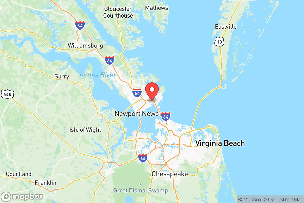
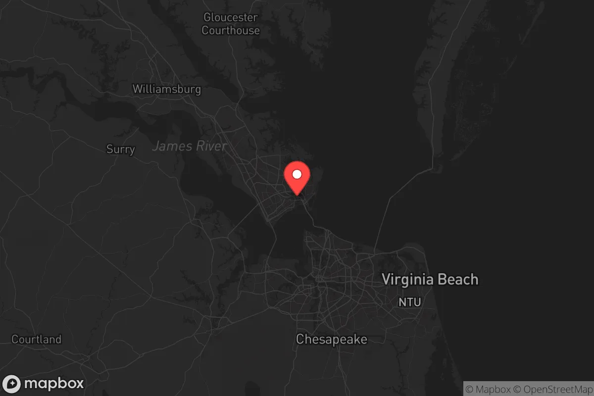
Strategic Assessment of Hampton City County
Multiple tactical vulnerabilities. Population density, target proximity, or disaster risk are likely compounding. A retreat property and exit planning is required.
What does the Strategic Assessment tell us?
Our Strategic Assessment grades tactical survivability of an area. Major population centers, military targets, fallout zones, natural disasters, and border exposure all drive risk — lower exposure means a more defensible position in a crisis.
This is heavily inspired by Joel Skousen's Strategic Relocation book. Highly recommended you checkout the book ($)What does this tell us?
Our Strategic Assessment grades tactical survivability of an area. Major population centers, military targets, fallout zones, natural disasters, and border exposure all drive risk — lower exposure means a more defensible position in a crisis.
This is heavily inspired by Joel Skousen's Strategic Relocation book. Highly recommended you checkout the book ($)Strategic Pillars

Key Distances
Strategic Assessment Analysis
Hampton City County, Virginia, occupies a strategic but exposed position at the mouth of the Chesapeake Bay, where the James River meets the Atlantic. Its resilience profile is defined by a paradox: the same geography that makes it a historic military and logistics hub also places it in the crosshairs of multiple risk vectors, from hurricane storm surge to proximity to high-value military and industrial targets. For a relocator weighing disaster readiness and self-sufficiency, Hampton offers strong community infrastructure and coastal access, but demands serious contingency planning for both natural and man-made disruptions.
Geographic position and natural advantages for resilience
Hampton sits on the Virginia Peninsula, bordered by the Hampton Roads harbor to the south and the Chesapeake Bay to the east. This location provides direct access to the Atlantic via the Hampton Roads Bridge-Tunnel and the Monitor-Merrimac Memorial Bridge-Tunnel, critical chokepoints for evacuation and supply routes. The area's flat coastal plain means elevation is a scarce resource — most of Hampton sits below 10 feet above sea level, with the highest points near the Langley Air Force Base area reaching only about 30 feet. Natural advantages include a moderate climate with four distinct seasons, reducing the risk of extreme heat or cold events compared to inland or southern locations. The nearby Back River and Poquoson River offer secondary water access and potential fishing grounds, while the Great Dismal Swamp to the south provides a large natural buffer zone and wildlife corridor. However, the region's flat, low-lying terrain offers little in the way of natural defensibility or high-ground retreat options within city limits.
Risks, exposures, and proximity to fallout-relevant landmarks
Hampton's risk profile is dominated by its concentration of high-value military and industrial assets. Langley Air Force Base, home to the 633rd Air Base Wing and the Air Combat Command, sits directly within the city — a primary target in any conflict scenario. The Newport News Shipbuilding facility, just west of Hampton, is the largest military shipbuilder in the U.S. and a critical national asset. Norfolk Naval Station, the world's largest naval base, lies directly across the harbor. These three installations make Hampton Roads arguably the most concentrated military target zone on the East Coast. Additionally, the Yorktown Refinery (about 15 miles northwest) and the Chesapeake Bay Bridge-Tunnel (a strategic chokepoint) add to the area's exposure. Natural risks are equally serious: Hampton is vulnerable to Category 3+ hurricane storm surge, with much of the city in FEMA-designated flood zones. Sea-level rise is already measurable, with tidal flooding increasing in frequency along Mercury Boulevard and the Buckroe Beach area. The city's location at the mouth of the Chesapeake also makes it a natural funnel for storm surge from the Atlantic.
Practical resilience for a relocator: food, water, energy, and defensibility
For a relocator focused on self-sufficiency, Hampton presents a mixed picture. Water access is excellent — the city draws from the James River and the Chickahominy River via the Newport News Waterworks system, but a grid-down scenario would require private well or rainwater catchment. The shallow water table (typically 5-15 feet deep) makes well drilling feasible in many residential areas, though saltwater intrusion is a concern near the coast. Food resilience is moderate: the surrounding Virginia Peninsula has active farmland, particularly in York County and Gloucester County to the north, but Hampton itself is largely suburban and urban. The Hampton Farmers Market and local CSAs provide seasonal produce, but year-round food production would require greenhouse investment. Energy infrastructure is robust but centralized — Dominion Energy serves the area with a mix of natural gas, nuclear (Surry Power Station, about 30 miles west), and coal. Solar potential is good, with roughly 200 sunny days per year, but HOA restrictions in many subdivisions limit panel installation. Defensibility is the weakest point: Hampton's flat, open terrain and dense suburban layout offer few natural chokepoints or retreat options. The city's network of creeks and marshes provides some natural barriers, but the overall landscape is not conducive to perimeter defense. The Langley Air Force Base security zone creates a de facto buffer on the city's north side, but this is a double-edged sword — it offers protection only as long as the base remains operational.
The overall strategic picture for Hampton City County is one of high capability paired with high exposure. The area's military and industrial infrastructure means it will likely receive priority for federal disaster response and grid restoration, but it also makes it a primary target in any conflict scenario. For a relocator who values community resources, coastal access, and proximity to military-grade logistics, Hampton offers genuine advantages — but only for those who accept that the same assets that make the region economically vital also make it strategically vulnerable. A serious preparedness plan here would emphasize evacuation routes west toward Richmond (via I-64), water storage and filtration (given the flat terrain and flood risks), and community networking within the existing military and civilian emergency management structures. Hampton is not a bug-out location; it is a high-functioning urban area that demands active, not passive, resilience planning.

* Values derived from national, state, county, city and local statistics and may differ in a specific area. Last updated: 2026-07-04T01:41:37.000Z
Narrative content on this page is AI-generated and may contain mistakes. Verify any details that matter before acting on them.
ReloMaps may earn a commission from affiliate links at no extra cost to you.

