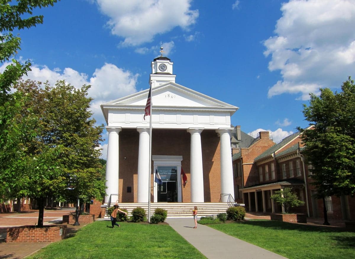
Photo: Wikipedia
Strategic Assessment of Frederick County
Meaningful friction. Expect exposure to either population pressure, blast zones, or natural disaster risk. Consider buying a retreat property.
What does the Strategic Assessment tell us?
Our Strategic Assessment grades tactical survivability of an area. Major population centers, military targets, fallout zones, natural disasters, and border exposure all drive risk — lower exposure means a more defensible position in a crisis.
This is heavily inspired by Joel Skousen's Strategic Relocation book. Highly recommended you checkout the book ($)What does this tell us?
Our Strategic Assessment grades tactical survivability of an area. Major population centers, military targets, fallout zones, natural disasters, and border exposure all drive risk — lower exposure means a more defensible position in a crisis.
This is heavily inspired by Joel Skousen's Strategic Relocation book. Highly recommended you checkout the book ($)Strategic Pillars

Key Distances
Strategic Assessment Analysis
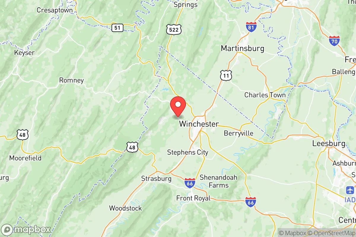
Frederick County, Virginia, sits in a strategic sweet spot that relocation researchers focused on resilience and preparedness should examine closely. Its position in the northern Shenandoah Valley, roughly 75 miles from Washington D.C. but shielded by the Blue Ridge Mountains, offers a rare combination of rural self-sufficiency and reasonable access to urban resources. For families and individuals weighing long-term security, the county's advantages in water availability, agricultural capacity, and relative isolation from immediate fallout zones make it a compelling option, though no location is without risk.
Geographic position and natural advantages for long-term security
Frederick County's geography is its primary strategic asset. The county lies on the western side of the Blue Ridge Mountains, a natural barrier that provides a meaningful buffer against airborne contaminants or atmospheric fallout from a major event in the D.C. metro area or along the Interstate 95 corridor. The Shenandoah River flows through the eastern portion of the county, and the area receives significant groundwater recharge from the surrounding karst topography, meaning well water access is generally reliable for rural properties, a key consideration for off-grid capability.
The county seat, Winchester, is the historic commercial hub, but the unincorporated towns of Stephens City and Middletown offer smaller, more defensible communities with existing local infrastructure. The terrain is a mix of rolling hills and fertile limestone valleys — not mountainous enough to be isolated by weather, but with enough elevation and varied topography to provide multiple lines of sight and natural defensibility for homestead-style properties. The county's position along the I-81 corridor also places it within a 2-3 hour drive of major military installations like Fort Belvoir and Quantico, which could be destabilizing in a crisis, but also positions it along a secondary supply route that sees less concentration than I-95.
Risks, exposures, and proximity to fallout-relevant landmarks
No strategic assessment is complete without acknowledging the risks. Frederick County's proximity to Washington D.C. — a primary geopolitical target — is the single greatest vulnerability. While the Blue Ridge provides some shielding, prevailing wind patterns from the west-southwest mean that a ground burst or surface detonation in D.C. would primarily affect areas east of the city. Frederick County lies to the west, which is favorable, but any major release of radioactive material or industrial toxins from a cascade event at a facility like Dulles International Airport (45 miles east) or Fort Detrick in Frederick, Maryland (30 miles northeast) could still pose a risk depending on upper-level winds.
The county itself contains no major industrial or refinery targets, but I-81 carries a heavy volume of commercial trucking, including hazmat shipments. A spill or attack on the highway near Winchester could disrupt local supply chains temporarily. The Winchester Regional Airport is a municipal facility, not a military base, so it draws minimal targeting risk. The nearby Clarke County border has no major infrastructure, keeping this area relatively low on a potential adversary's target list. Natural hazards include occasional flooding along the Shenandoah River, particularly in low-lying areas near the river's floodplain around Stephens City, and severe thunderstorms with hail. The region is not in a primary tornado alley, and wildfire risk is moderate due to the mixed hardwood forests.
Practical resilience for a relocator: food, water, energy, and defensibility
For a household serious about self-sufficiency, Frederick County rates well in the essentials. Food sovereignty is achievable: the county is part of the productive Shenandoah Valley, with numerous small farms, orchards, and CSAs. The weekly Winchester Farmers Market runs year-round, and rural properties often come with enough acreage for substantial gardening and small livestock. Deer and turkey are abundant for hunting, with the George Washington National Forest just west of the county providing additional public hunting land — though it is heavily pressured during season.
Water resilience is a standout strength. The county sits atop the Gettysburg Basin aquifer system, and private wells are common outside the urban service district. A properly drilled well on a rural parcel typically yields 15-30 gallons per minute, more than adequate for household use and small-scale irrigation. The Opequon Creek watershed and numerous springs provide surface water, though filtration is necessary.
Energy independence requires deliberate investment. The county's grid is served by Dominion Energy, with overhead lines vulnerable to ice storms and wind. Solar potential is good — the region averages 200 sunny days per year — and off-grid solar with battery backup is feasible for most rural homes. Propane for heating is widely available via local suppliers, and wood stoves are common in older homes. The county has no natural gas service in many rural areas, so relocators should plan for alternative heating.
Defensibility is context-dependent. The rolling terrain provides natural concealment and choke points on secondary roads. The crime rate in Frederick County is below the national average, and the Frederick County Sheriff's Office maintains a visible presence. However, in a major crisis, the county's population of approximately 92,000 could see an influx of refugees from the D.C.-Baltimore metropolitan area via I-81. The county's law enforcement would be overwhelmed quickly in a worst-case scenario. The rural nature of the county, with farms separated by fields and tree lines, actually aids in perimeter security for individual homesteads.
The overall strategic picture for relocators
Frederick County offers one of the better balances between proximity to resources and buffer from concentrated risk in the Mid-Atlantic. It is not a bug-out location — it is too accessible and developed for that — but for a family seeking a multi-year resilience plan with a comfortable lifestyle, it is a strong contender. The water availability and agricultural potential alone beat most options within 100 miles of D.C. The key trade-off is that you are close enough to a major target that you need a plan for the first 48-72 hours post-event, but far enough that you have genuine options for self-reliance. For a relocator who is serious about preparedness but not willing to move to the Great Basin or Montana, Frederick County is worth a long, careful look.

* Values derived from national, state, county, city and local statistics and may differ in a specific area. Last updated: 2026-09-14T13:10:04.000Z
Narrative content on this page is AI-generated and may contain mistakes. Verify any details that matter before acting on them.
ReloMaps may earn a commission from affiliate links at no extra cost to you.

