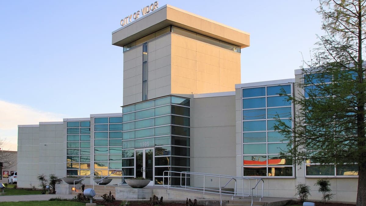
Photo: Wikipedia
Strategic Assessment of Vidor, TX
Multiple tactical vulnerabilities. Population density, target proximity, or disaster risk are likely compounding. A retreat property and exit planning is required.
What does the Strategic Assessment tell us?
Our Strategic Assessment grades tactical survivability of an area. Major population centers, military targets, fallout zones, natural disasters, and border exposure all drive risk — lower exposure means a more defensible position in a crisis.
This is heavily inspired by Joel Skousen's Strategic Relocation book. Highly recommended you checkout the book ($)What does this tell us?
Our Strategic Assessment grades tactical survivability of an area. Major population centers, military targets, fallout zones, natural disasters, and border exposure all drive risk — lower exposure means a more defensible position in a crisis.
This is heavily inspired by Joel Skousen's Strategic Relocation book. Highly recommended you checkout the book ($)Strategic Pillars

Key Distances
Regional Safe Places
Below is our recommended "safe zones" in Texas and the surrounding area based on our strategic heuristics. For most people, it's unrealistic to live in a “safe zone” full-time due to work, family or other personal reasons. They tend to be more rural. However, many of these areas are perfect for second homes and retreat properties that double as a vacation home or even a short-term rental.

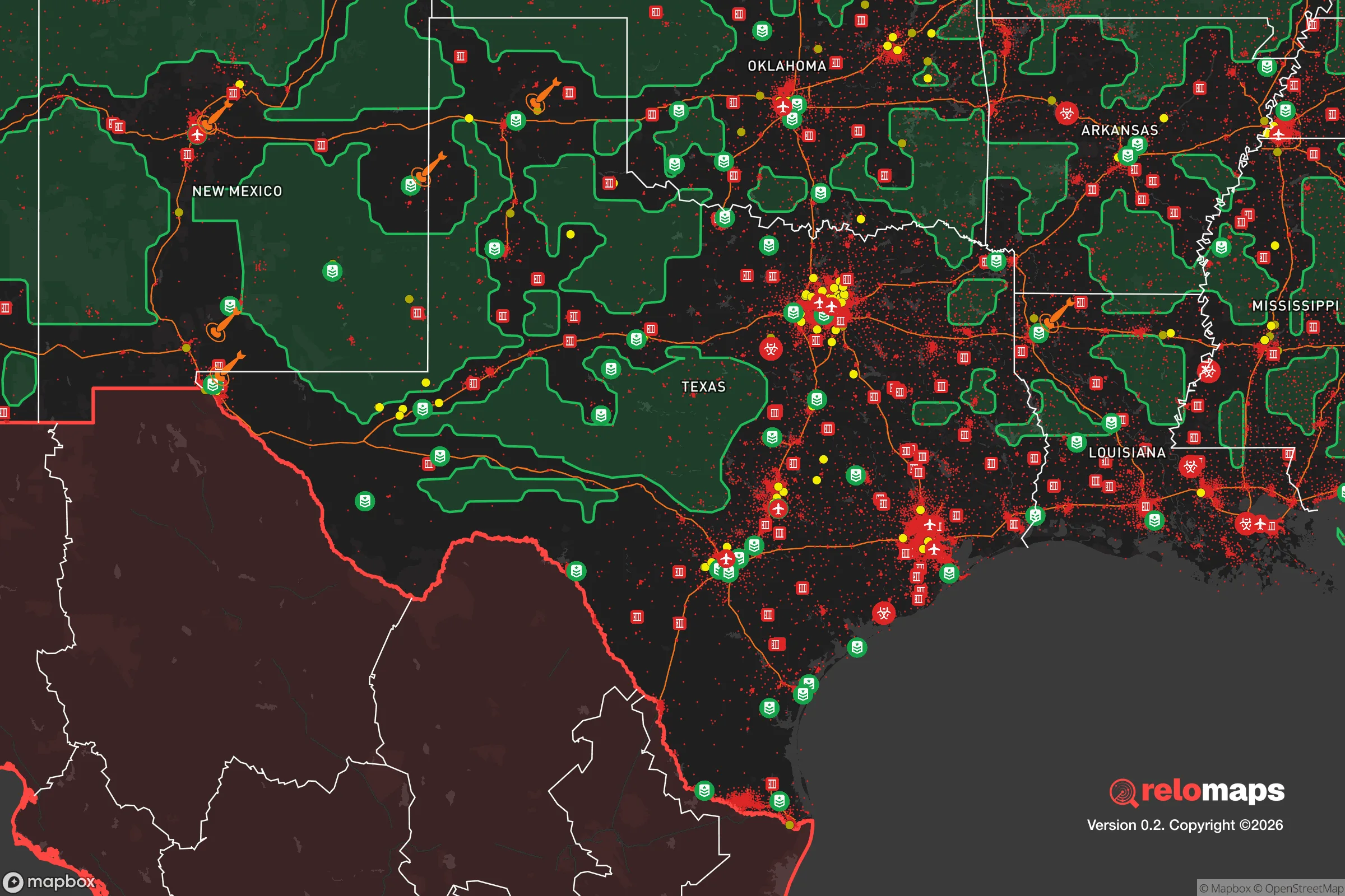


Important Note: For informational purposes only. This does not mean nothing bad ever happens in the green zones. Please use common sense. This is based on public data and modeled with AI. We tried to take a conservative approach but mistakes happen. We update this regularly as new information becomes available.
Solar Generator Recommendations
Backup power matters more here than in safer locations. We've picked three solar generators across budgets and capacity tiers — start with the budget unit if you only need a few essentials, or step up if you want to run a fridge and HVAC for days at a time.

Jackery Portable Power Station Explorer 300
Budget OptionPower on the Go: Weighing only 11 lbs, it's convenient to set up and store with book-sized foldable solar panels

BLUETTI Portable Power Station AC180
Designed for both indoor and outdoor scenarios, AC180 is highly capable as it has a robost capacity and continuous output power.

EF ECOFLOW DELTA Pro Ultra Power Station
Upgraded PickEcoFlow DELTA Pro Ultra is a whole-home energy system designed to grow with your family. Integrated with the Smart Home Panel 2, it scales to meet your evolving energy needs — keeping your home powered, intelligent, and secure through every stage of life.
We earn a commission, at no additional cost to you.
Strategic Assessment Analysis
Vidor, Texas, presents a mixed strategic picture for the relocation-minded reader focused on resilience and self-sufficiency. While its location in Southeast Texas offers certain geographic buffers and a strong sense of community preparedness, it also sits within a region that carries significant exposure to natural hazards and proximity to high-value man-made targets. The town’s practical resilience depends heavily on individual preparation, as the local infrastructure and supply chains are tied to the broader Houston-Beaumont corridor.
Geographic position and natural advantages for long-term stability
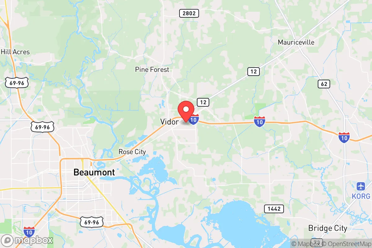
Vidor’s position in Orange County places it roughly 20 miles east of Beaumont and 90 miles east of Houston, putting it within the orbit of major metropolitan areas while maintaining a distinctly rural, low-density character. The town itself sits on relatively flat, forested terrain along the Neches River, with the Big Thicket National Preserve to the north and the Sabine National Forest to the east. This wooded environment provides natural cover, abundant wildlife for hunting, and a climate that supports year-round gardening—key assets for a self-sufficient household. The area’s clay soils are workable for raised-bed agriculture, and the long growing season (typically March through November) allows for multiple crop cycles. Water availability is a genuine advantage: the Neches River and numerous bayous, creeks, and wetlands mean surface water is plentiful, though treatment is necessary. Annual rainfall averages around 55 inches, so rainwater catchment systems are highly viable. The low population density—Orange County has roughly 84,000 residents spread over 356 square miles—means less competition for resources in a crisis scenario compared to denser suburbs. Vidor’s distance from the immediate Gulf Coast (about 40 miles inland) provides a modest buffer against storm surge, though it does not eliminate hurricane risk.
Risks, exposures, and proximity to fallout-relevant landmarks
The most significant natural risk in Vidor is hurricane-related flooding and wind damage. The area lies within the 100-year floodplain in many sections, and even properties outside designated flood zones can experience standing water during heavy rain events. Hurricane Harvey (2017) dropped over 50 inches of rain in parts of Southeast Texas, causing widespread flooding in Vidor and surrounding areas. Storm surge from the Gulf is not a direct threat at this distance, but torrential rainfall from slow-moving systems is. Tornadoes are a secondary concern, with the region averaging 10-15 tornadoes per year, though most are weak (EF0-EF1). On the man-made risk side, Vidor’s proximity to the Houston Ship Channel and the Beaumont-Port Arthur petrochemical corridor is a double-edged sword. The ship channel, roughly 60 miles southwest, is one of the largest concentrations of refineries and chemical plants in the world. A major industrial accident, terrorist attack, or wartime strike on that infrastructure could produce toxic plumes, fires, and supply chain disruptions that would affect Vidor. The area is also within 100 miles of the Strategic Petroleum Reserve’s Bryan Mound site near Freeport, a potential target. Additionally, Vidor is near the Louisiana border, placing it within the fallout zone of any hypothetical nuclear event at the Sabine Pass LNG terminal or the Port Arthur refineries. While not a primary target itself, Vidor’s location along I-10 and the Union Pacific rail line means it could become a chokepoint for evacuation or military movement during a crisis.
Practical resilience for a relocator: food, water, energy, and defensibility
For a relocator serious about self-sufficiency, Vidor offers a workable baseline but requires significant investment. Food production is feasible: the growing season is long, and local soil can support vegetables, fruit trees (citrus, figs, pecans), and small livestock. The area has a strong hunting culture, with deer, feral hogs, and waterfowl abundant in the surrounding forests and wetlands. However, reliance on grocery stores in nearby Beaumont or Orange is the norm, and local farmers’ markets are limited. Water is the strongest asset—rainwater collection is practical, and shallow wells (30-60 feet) can tap into the Chicot Aquifer, though water quality testing is essential due to potential industrial contamination. Energy resilience is a weak point. The local grid is served by Entergy Texas, which has a history of outages during storms. Solar panels with battery storage are a wise investment, as net metering is available but not generous. Natural gas is piped into the area, but a disruption to the regional pipeline network would cut supply. Wood heating is viable given the forested surroundings, but air quality regulations may limit outdoor burning. Defensibility is mixed. Vidor’s rural layout means many properties have acreage and setback from roads, offering natural standoff. The local culture is heavily pro-Second Amendment, and law enforcement presence is thin—the Orange County Sheriff’s Office covers a large area with limited deputies. This can be an advantage for those prepared to handle their own security, but it also means slower response times. The town’s population is relatively homogeneous and insular, which can foster strong community bonds but may also create social friction for newcomers who do not fit the local cultural mold. The nearest major medical center is Christus St. Elizabeth in Beaumont (20 minutes), with a Level II trauma center, but rural ambulance response times can exceed 30 minutes.
The overall strategic picture for Vidor is one of moderate resilience with clear trade-offs. Its natural advantages—abundant water, long growing season, low population density, and forest cover—are genuine assets for a prepared household. However, these are offset by significant exposure to hurricane flooding, proximity to a high-risk petrochemical corridor, and a grid that is vulnerable to disruption. For a relocator who is willing to invest in off-grid water, solar power, and food production, and who accepts the region’s weather and industrial risks, Vidor offers a defensible, affordable base. It is not a remote bunker location, but it is far enough from the densest urban centers to avoid the worst of a cascading collapse scenario. The key is to treat it as a strategic outpost rather than a final redoubt—one that requires active preparation, community integration, and a clear-eyed understanding of the hazards that come with living in the shadow of Houston’s industrial engine.

* Values derived from national, state, county, city and local statistics and may differ in a specific area. Last updated: 2026-07-23T02:41:22.000Z
Narrative content on this page is AI-generated and may contain mistakes. Verify any details that matter before acting on them.
ReloMaps may earn a commission from affiliate links at no extra cost to you.

