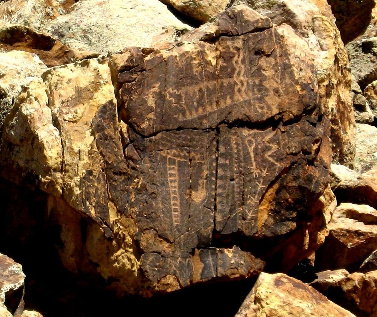
Photo: Wikipedia
Strategic Assessment of Iron County
Strong survivability profile. Good buffer from population centers, with manageable environmental and tactical risks.
What does the Strategic Assessment tell us?
Our Strategic Assessment grades tactical survivability of an area. Major population centers, military targets, fallout zones, natural disasters, and border exposure all drive risk — lower exposure means a more defensible position in a crisis.
This is heavily inspired by Joel Skousen's Strategic Relocation book. Highly recommended you checkout the book ($)What does this tell us?
Our Strategic Assessment grades tactical survivability of an area. Major population centers, military targets, fallout zones, natural disasters, and border exposure all drive risk — lower exposure means a more defensible position in a crisis.
This is heavily inspired by Joel Skousen's Strategic Relocation book. Highly recommended you checkout the book ($)Strategic Pillars

Key Distances
Strategic Assessment Analysis
Iron County, Utah, presents a compelling case for relocation-minded readers who prioritize resilience, self-sufficiency, and distance from major metropolitan vulnerabilities. Its geographic position—nestled in the high desert of southwestern Utah—offers a blend of natural defensibility, resource access, and relative isolation from the fallout corridors that threaten more densely populated regions. For a single individual or family thinking seriously about disaster preparedness, Iron County balances the trade-offs of remote living with practical access to infrastructure, making it a strategic choice worth a close look.
Geographic position and natural advantages for self-sufficiency
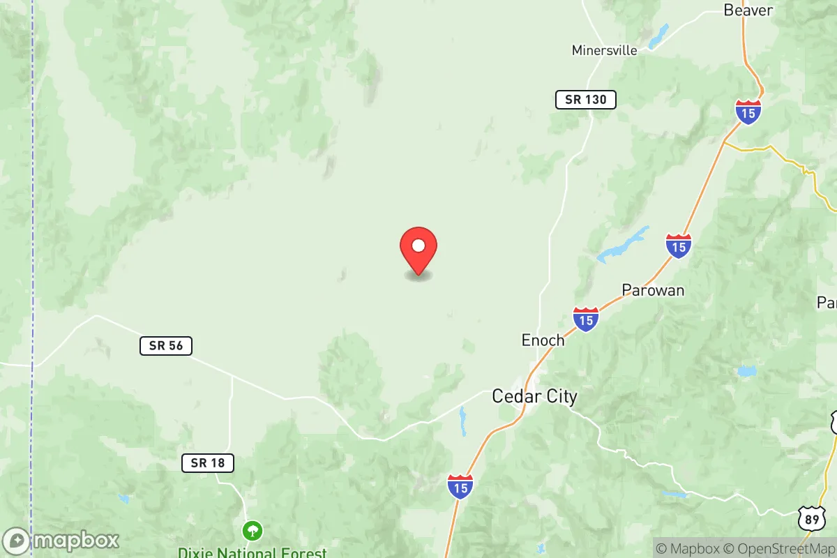
Iron County sits at the intersection of the Great Basin and the Colorado Plateau, with its seat and largest city, Cedar City, perched at roughly 5,800 feet elevation. This high-desert terrain provides several built-in strategic benefits. The region is ringed by mountain ranges—the Markagunt Plateau to the east and the Pine Valley Mountains to the west—which create natural barriers that slow movement and limit exposure from any single direction. The county's low population density, roughly 55,000 residents spread across 3,300 square miles, means that even a major regional disruption would not produce the cascading chaos seen in urban centers. The nearby Brian Head area and Dixie National Forest offer timber, game, and emergency water sources, while the Cedar Breaks National Monument zone provides high-altitude refuge if lower elevations become compromised. For a relocator, the ability to retreat into public lands or higher terrain within an hour's drive is a concrete advantage that few suburban counties can match.
Risks, exposures, and proximity to fallout-relevant landmarks
No strategic assessment is honest without weighing the risks. Iron County is not immune to natural hazards: wildfire is the most immediate seasonal threat, particularly in the pinyon-juniper woodlands around Enoch and Parowan. The 2017 Brian Head Fire burned over 71,000 acres and forced evacuations, a reminder that dry summers and wind events can escalate quickly. Earthquake risk is moderate—the county sits near the Hurricane Fault—but major seismic events are infrequent compared to California or the Pacific Northwest. On the man-made risk side, Iron County's distance from high-value targets is a net positive. The nearest major military installation is Hill Air Force Base near Ogden, roughly 250 miles north, well outside any plausible blast or fallout zone from a conventional or nuclear strike on that facility. The Nevada National Security Site (formerly the Nevada Test Site) is about 180 miles southwest, but prevailing winds carry fallout eastward, away from Iron County, in most scenarios. The Intermountain Power Project coal plant near Delta, Utah, is roughly 120 miles north—a potential industrial target, but again, distance and mountain terrain provide substantial attenuation. The county's lack of major refineries, ports, or military command centers means it is unlikely to be a primary or secondary target in any conflict scenario. For the preparedness-minded reader, this "off the radar" quality is a major point in Iron County's favor.
Practical resilience for a relocator: food, water, energy, and defensibility
Self-sufficiency in Iron County is achievable but requires planning. Water is the most critical variable. The region averages only 12 inches of precipitation annually, and the primary source is the Colorado River system via the Central Utah Project—a vulnerable, over-allocated supply. However, local groundwater in the Cedar Valley and Parowan Valley is accessible via private wells, and many rural properties already have them. Rainwater catchment is legal and practical for supplemental use, especially during the July–September monsoon season. Food production is limited by a short growing season (roughly 100–120 frost-free days) and alkaline soils, but cold-hardy crops like potatoes, carrots, and kale do well, and the Iron County Extension Service offers active support for small-scale agriculture. Livestock—particularly goats and chickens—are common on acreage parcels, and the county's grazing allotments on BLM and Forest Service land provide additional options for those with the know-how. Energy is a bright spot: the region averages over 260 sunny days per year, making solar photovoltaic systems highly effective. Net metering is available through Rocky Mountain Power, and off-grid setups are feasible with battery storage. Wood heating is common in rural homes, and the nearby national forests provide a sustainable fuel source with proper permits. Defensibility is enhanced by the county's geography: the main population centers sit in broad valleys, but the surrounding ridges and canyons offer numerous natural chokepoints. A small, organized group could effectively monitor the few paved roads entering the county—primarily I-15, SR-14, and SR-56—while the backcountry trails are impassable to vehicles without high clearance and local knowledge. For a family or individual, the ability to secure a perimeter around a well-chosen property in the New Harmony or Kanarraville areas is a realistic proposition.
The overall strategic picture for Iron County is one of moderate risk and high reward for the serious relocator. It lacks the abundant rainfall and deep topsoil of the Pacific Northwest or the Ohio River Valley, but it compensates with isolation, defensible terrain, and a political and cultural climate that values self-reliance. The county's conservative lean is reflected in minimal land-use restrictions, a strong Second Amendment culture, and a local government that generally favors property rights over zoning overreach. For a reader who is willing to invest in water infrastructure, adapt to high-altitude gardening, and accept the trade-offs of a small-town economy, Iron County offers a realistic foundation for long-term resilience. It is not a bug-out location—it is a place to build a life that is already prepared for disruption.

* Values derived from national, state, county, city and local statistics and may differ in a specific area. Last updated: 2026-07-24T22:25:59.000Z
Narrative content on this page is AI-generated and may contain mistakes. Verify any details that matter before acting on them.
ReloMaps may earn a commission from affiliate links at no extra cost to you.

