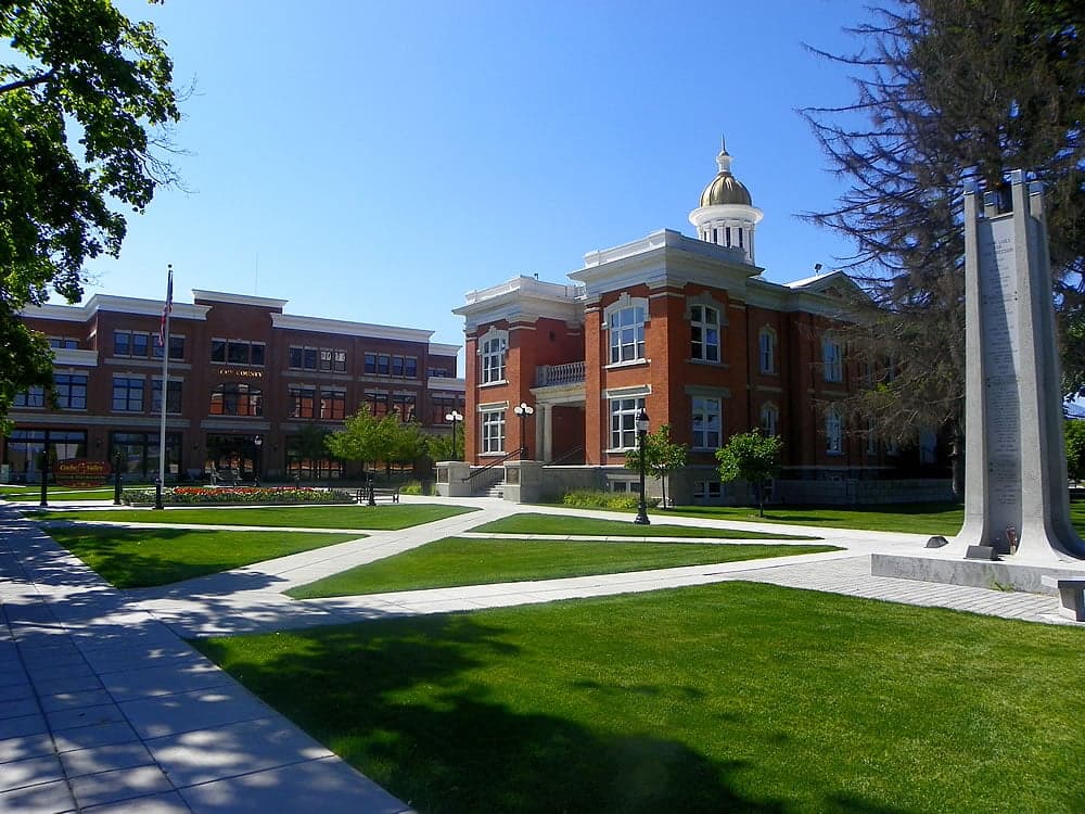
Photo: Wikipedia
Strategic Assessment of Cache County
Strong survivability profile. Good buffer from population centers, with manageable environmental and tactical risks.
What does the Strategic Assessment tell us?
Our Strategic Assessment grades tactical survivability of an area. Major population centers, military targets, fallout zones, natural disasters, and border exposure all drive risk — lower exposure means a more defensible position in a crisis.
This is heavily inspired by Joel Skousen's Strategic Relocation book. Highly recommended you checkout the book ($)What does this tell us?
Our Strategic Assessment grades tactical survivability of an area. Major population centers, military targets, fallout zones, natural disasters, and border exposure all drive risk — lower exposure means a more defensible position in a crisis.
This is heavily inspired by Joel Skousen's Strategic Relocation book. Highly recommended you checkout the book ($)Strategic Pillars

Key Distances
Strategic Assessment Analysis
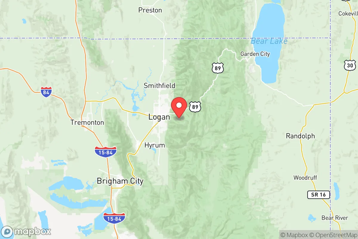
Cache County, Utah, offers a compelling mix of geographic isolation and practical self-reliance that appeals to relocation-minded individuals and families prioritizing long-term stability and disaster readiness. Anchored by the city of Logan and surrounded by the Bear River Range and Wellsville Mountains, the county sits in a high-elevation valley that provides natural barriers against many of the risks found in more exposed regions. Its position roughly 80 miles north of Salt Lake City and 20 miles south of the Idaho border places it far enough from major urban centers to avoid their worst vulnerabilities while remaining connected enough for supply chains and medical access. For a reader thinking seriously about preparedness, Cache County presents a defensible, resource-rich environment that warrants a close look.
Geographic position and natural advantages for long-term stability
Cache County's geography is defined by the Cache Valley, a broad, fertile basin ringed by mountain ranges that create a natural buffer against external disruption. The valley floor sits at roughly 4,500 feet, with peaks rising to over 9,000 feet, offering both agricultural land and defensible terrain. The Bear River, which flows through the county, provides a reliable surface water source, and the area's numerous springs and aquifers support irrigation and drinking water without heavy reliance on distant infrastructure. The county's position in the Wasatch Front's northern tier means it is less exposed to the seismic risks of the central Wasatch Fault zone, though it is not entirely free of earthquake hazard. Winters bring significant snowfall, which feeds the region's watershed and supports a robust local food system through dairy, grain, and livestock operations. For a relocator, the combination of arable land, mountain barriers, and moderate population density—roughly 140,000 residents spread across 1,200 square miles—offers a balance of community and space that is rare in the Intermountain West.
Risks, exposures, and proximity to fallout-relevant landmarks
No location is without vulnerabilities, and Cache County has specific exposures that a strategic assessment must weigh. The county sits within the broader Wasatch Front seismic zone, and while the local fault lines are less active than those near Salt Lake City, a major earthquake on the Wasatch Fault could still cause ground shaking and liquefaction in the valley's alluvial soils. The primary man-made risk comes from proximity to Hill Air Force Base, located roughly 60 miles south near Ogden, which houses the F-35A Lightning II fleet and is a high-value target in any conflict scenario. Cache County is also within 100 miles of the Tooele Chemical Agent Disposal Facility and the Deseret Chemical Depot, both of which store and process chemical weapons. While these facilities are heavily guarded and have safety protocols, their presence introduces a non-zero risk of accidental release or targeted attack. On the positive side, the county is far from the nation's major refinery corridors, nuclear power plants, and port cities, which significantly reduces its exposure to industrial accidents and maritime threats. The nearest major population center, Salt Lake City, is far enough that a detonation or large-scale event there would not directly affect Cache Valley, though fallout patterns depend on prevailing winds, which typically blow from west to east. For a relocator, the key takeaway is that Cache County's risks are moderate and manageable, especially when compared to coastal or industrial regions.
Practical resilience for relocators: food, water, energy, and defensibility
Cache County's practical resilience is among its strongest selling points for a preparedness-minded reader. The valley is a major agricultural producer in Utah, with Cache County ranking among the top dairy-producing counties in the state and supporting extensive hay, grain, and livestock operations. Local food systems are well-established, with farmers' markets, CSAs, and co-ops in Logan, Providence, and Hyrum providing direct access to fresh produce and meat. Water availability is robust: the Bear River and its tributaries supply irrigation and municipal water, and the county's groundwater aquifers are generally well-recharged. However, drought conditions in recent years have led to water restrictions, so a relocator should plan for rainwater catchment and efficient irrigation if pursuing self-sufficiency. Energy infrastructure is reliable, with Rocky Mountain Power serving the area from a mix of coal, natural gas, and renewables, but the county's distance from major grid hubs means that a prolonged outage could take longer to restore. Solar potential is excellent, with over 200 sunny days per year, and many rural properties already have backup generators or off-grid systems. Defensibility is a standout feature: the valley's mountain passes—Logan Canyon to the east, Sardine Canyon to the south, and the Portage area to the north—are narrow and easily monitored, providing natural chokepoints for anyone seeking to control access. The county's population is predominantly LDS, which brings a strong culture of emergency preparedness, food storage, and community mutual aid. For a family or individual looking to establish a resilient homestead, Cache County offers a rare combination of fertile land, water security, and geographic isolation that is hard to match in the lower 48.
The overall strategic picture for Cache County is one of moderate risk and high resilience. Its geographic isolation, agricultural base, and community preparedness culture make it a strong candidate for a relocation focused on long-term stability and self-sufficiency. The primary drawbacks—seismic risk, proximity to Hill Air Force Base, and drought vulnerability—are real but manageable with proper planning. For a reader who values defensible terrain, local food systems, and a community that takes preparedness seriously, Cache County deserves serious consideration. It is not a bunker, but it is a place where a thoughtful relocator can build a genuinely resilient life.

* Values derived from national, state, county, city and local statistics and may differ in a specific area. Last updated: 2026-07-02T19:42:15.000Z
Narrative content on this page is AI-generated and may contain mistakes. Verify any details that matter before acting on them.
ReloMaps may earn a commission from affiliate links at no extra cost to you.

