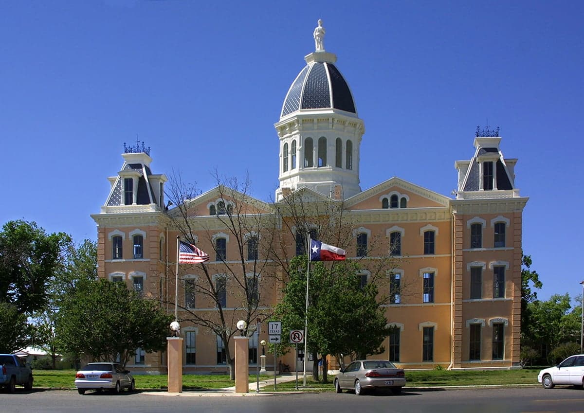
Photo: Wikipedia
Strategic Assessment of Presidio County
Strong survivability profile. Good buffer from population centers, with manageable environmental and tactical risks.
What does the Strategic Assessment tell us?
Our Strategic Assessment grades tactical survivability of an area. Major population centers, military targets, fallout zones, natural disasters, and border exposure all drive risk — lower exposure means a more defensible position in a crisis.
This is heavily inspired by Joel Skousen's Strategic Relocation book. Highly recommended you checkout the book ($)What does this tell us?
Our Strategic Assessment grades tactical survivability of an area. Major population centers, military targets, fallout zones, natural disasters, and border exposure all drive risk — lower exposure means a more defensible position in a crisis.
This is heavily inspired by Joel Skousen's Strategic Relocation book. Highly recommended you checkout the book ($)Strategic Pillars

Key Distances
Strategic Assessment Analysis
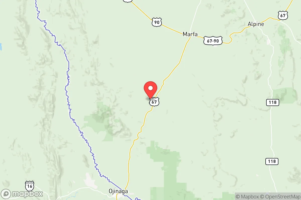
Presidio County, Texas, offers a unique strategic proposition for those prioritizing resilience and self-sufficiency: extreme remoteness combined with a border location that provides both challenges and advantages. Situated in the vast, sparsely populated Trans-Pecos region, the county is anchored by the small towns of Presidio (population roughly 4,000) and Marfa (population roughly 1,800), with the entire county holding fewer than 7,000 residents across over 3,800 square miles. This low population density, coupled with its distance from major metropolitan centers like El Paso (about 200 miles northwest) and San Antonio (over 350 miles east), makes it one of the most geographically isolated areas in the continental United States — a key attribute for anyone assessing fallout risk or societal disruption.
Geographic position and natural advantages for long-term security
Presidio County's location along the Rio Grande and the U.S.-Mexico border is its defining geographic feature, offering both a natural water source and a buffer of rugged, difficult terrain. The county sits at the confluence of the Rio Grande and the Rio Conchos, a major tributary that flows from Mexico, providing a more reliable water source than many other arid West Texas counties. The landscape is dominated by the Chihuahuan Desert, the Chinati Mountains, and the Sierra Vieja range, creating natural barriers to movement and offering numerous defensible positions for those familiar with the terrain. The nearest major military installation is Fort Bliss near El Paso, roughly 200 miles away, which is far enough to avoid being a primary target but close enough to potentially serve as a stabilization node in a crisis. The county's position also places it far from the Texas Gulf Coast's refinery corridor (over 500 miles away) and the Dallas-Fort Worth metroplex (over 400 miles away), dramatically reducing exposure to fallout from strikes on those high-value targets. The prevailing westerly winds in this region also help disperse any airborne contaminants from potential events in Mexico or the U.S. interior.
Risk exposures, border proximity, and fallout-relevant landmarks
While Presidio County's isolation is a strength, it comes with distinct risk exposures that a relocator must weigh carefully. The most immediate concern is its position on an active international border; the Presidio Port of Entry sees significant commercial and pedestrian traffic, and while the area is not a major cartel hotspot compared to places like Nuevo Laredo, cross-border crime and illegal crossings are a persistent reality. The county's proximity to the Big Bend region means it is adjacent to a major national park and wilderness area, which is positive for natural resources but also means limited law enforcement presence over vast stretches. For those concerned with man-made risks, the nearest obvious fallout-relevant landmarks are Fort Bliss and the El Paso International Airport, both potential secondary targets, but their distance (200+ miles) provides substantial safety margin. The Presidio-Ojinaga international bridge is a critical piece of infrastructure that could become a chokepoint or target during civil unrest. Natural risks include extreme drought, flash flooding in arroyos, and the potential for wildfire in the grasslands and brush. The area is seismically stable, with no significant earthquake risk, and hurricane threats are nonexistent due to the inland desert location.
Practical resilience for a relocator: food, water, energy, and defensibility
For a family or individual serious about self-sufficiency, Presidio County presents a mixed but workable picture. Water is the single most critical factor: the Rio Grande and Rio Conchos provide surface water, but access is controlled by international treaties and local water districts. Groundwater from the Hueco Bolson aquifer is available but deep and expensive to pump; rainwater harvesting is viable given the region's average 12-15 inches of annual precipitation, but storage capacity must be substantial. The growing season is long (over 220 days), and with irrigation, small-scale agriculture is possible — traditional crops include pecans, alfalfa, and chiles. For energy, the area has exceptional solar potential (over 300 sunny days per year) and consistent wind, making off-grid solar-plus-battery systems highly practical. The county is served by a single major highway, U.S. 67, which connects Presidio to Marfa and then to Interstate 10; this limited road network makes the area naturally defensible but also means supply chains are fragile. Marfa's small airport (MRF) can handle private aircraft, offering an alternative egress route. The local population is accustomed to self-reliance, with a strong ranching culture and a network of small farms and homesteads that could form the basis for mutual aid. The biggest practical challenge is the extreme heat (summer highs regularly exceed 100°F) and the distance to specialized medical care — the nearest hospital with full trauma capability is in Odessa, over 150 miles away.
The overall strategic picture for Presidio County is one of high reward paired with high responsibility. For a relocator who values extreme geographic isolation, low population density, and natural defensibility, this area is among the best in Texas. The combination of a reliable surface water source (the Rio Grande), abundant solar energy potential, and distance from every major strategic target in the U.S. creates a strong foundation for long-term resilience. However, the trade-offs are real: border security concerns, extreme climate, limited infrastructure, and the need for significant upfront investment in water storage, energy systems, and food production capacity. This is not a location for someone seeking convenience or easy access to urban amenities — it is a place for those willing to trade modern convenience for genuine strategic depth. For the prepared individual or family with the resources to establish a self-sufficient homestead, Presidio County offers a level of security that few other locations in the lower 48 can match.

* Values derived from national, state, county, city and local statistics and may differ in a specific area. Last updated: 2026-07-12T15:21:18.000Z
Narrative content on this page is AI-generated and may contain mistakes. Verify any details that matter before acting on them.
ReloMaps may earn a commission from affiliate links at no extra cost to you.

