Photo: Wikipedia
Strategic Assessment of Pecos County
Deep buffer from population centers and strategic targets. Low natural disaster risk and minimal exposure to border or coastal threats.
What does the Strategic Assessment tell us?
Our Strategic Assessment grades tactical survivability of an area. Major population centers, military targets, fallout zones, natural disasters, and border exposure all drive risk — lower exposure means a more defensible position in a crisis.
This is heavily inspired by Joel Skousen's Strategic Relocation book. Highly recommended you checkout the book ($)What does this tell us?
Our Strategic Assessment grades tactical survivability of an area. Major population centers, military targets, fallout zones, natural disasters, and border exposure all drive risk — lower exposure means a more defensible position in a crisis.
This is heavily inspired by Joel Skousen's Strategic Relocation book. Highly recommended you checkout the book ($)Strategic Pillars

Key Distances
Strategic Assessment Analysis
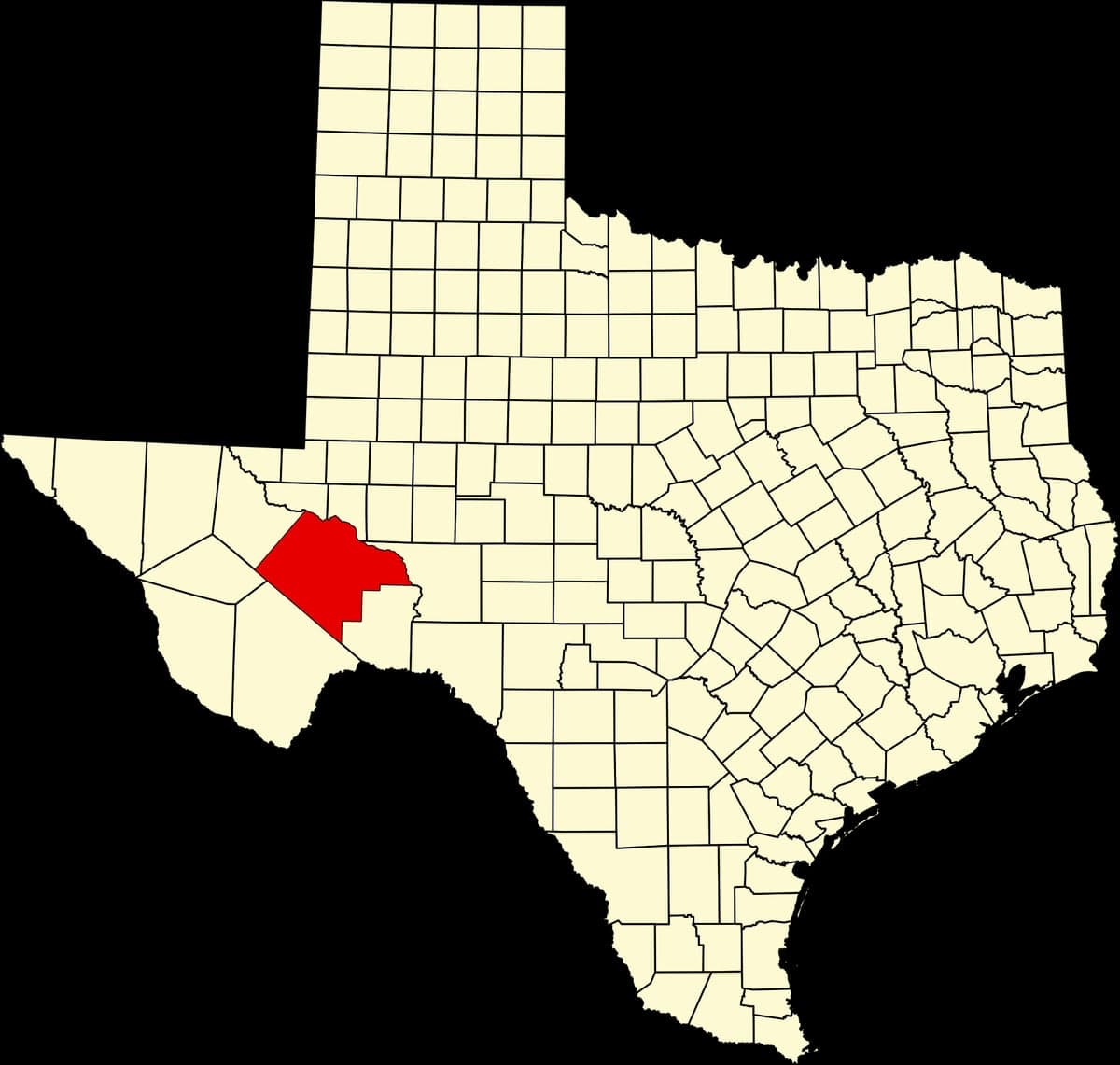
Pecos County, Texas, offers a strategic relocation option for those prioritizing resilience and distance from major population centers, sitting squarely in the vast, sparsely populated Trans-Pecos region. Its location—roughly 200 miles from El Paso, 300 miles from San Antonio, and over 400 miles from the Houston metroplex—provides a natural buffer against the cascading effects of urban unrest, supply chain disruptions, or mass casualty events. The county's low population density (roughly 15,000 people spread over 4,764 square miles) and its position away from major interstate corridors mean fewer chokepoints and less exposure to the chaos that can follow a disaster. For a conservative-leaning audience concerned with self-sufficiency and avoiding fallout zones, this is a place where the strategic calculus leans heavily toward isolation and resource independence.
Geographic position and natural advantages for long-term security
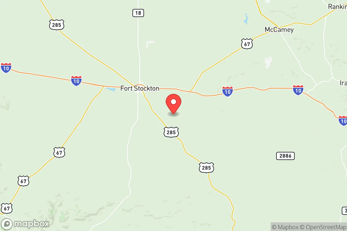
Pecos County's geography is defined by the arid Chihuahuan Desert, the Pecos River, and the rugged Stockton Plateau—terrain that offers both defensive depth and limited agricultural vulnerability. The county seat, Fort Stockton, sits at the intersection of I-10 and US 285, providing a single, monitorable access point for anyone entering the area. The Pecos River runs through the western edge of the county, offering a reliable surface water source in an otherwise dry region, though it's not a major river by Texas standards. The area's high desert climate means less than 12 inches of annual rainfall, which limits crop farming but also reduces the risk of flooding or mold-related infrastructure failures. The Brewster County line to the south and Reeves County to the west create a buffer of similarly low-population counties, meaning any threat would have to travel through miles of empty, exposed terrain before reaching Pecos County's core settlements. For a relocator, the natural advantages are clear: wide-open spaces, limited ingress points, and a climate that discourages large-scale migration during a crisis.
Risks, exposures, and proximity to fallout-relevant landmarks
While Pecos County is far from major cities, it is not without its own risk profile. The county sits within the Permian Basin, one of the most active oil and gas production regions in the United States. This means proximity to refineries, natural gas processing plants, and injection wells—specifically around the Fort Stockton field and the Pecos County oil fields near the town of Iraan. A major industrial accident, pipeline rupture, or intentional attack on energy infrastructure could create localized hazards, including toxic gas releases or fires. Additionally, the Pecos River and the Comanche Springs aquifer (which supplies Fort Stockton's municipal water) are vulnerable to contamination from surface spills or sabotage. The county is also within 150 miles of Fort Bliss (El Paso) and White Sands Missile Range (New Mexico), both of which are potential targets for long-range strikes or civil unrest spillover. However, the sheer distance from major population centers—and the lack of high-value civilian targets like ports or major military bases within the county itself—means that fallout from a national-level event would likely be limited to secondary effects like supply shortages or refugee movement, not direct destruction.
Practical resilience for a relocator: food, water, energy, and defensibility
For someone serious about prepping, Pecos County requires a deliberate approach to self-sufficiency. Water is the primary concern: the county relies heavily on the Edwards-Trinity Aquifer and the Pecos River, but surface water is scarce and groundwater depth varies. Drilling a well is feasible but expensive—expect costs of $10,000 to $20,000 for a domestic well, with yields that can be unpredictable. Rainwater catchment is possible but limited by low annual precipitation; a 2,000-square-foot roof might collect only 1,500 gallons per year. Food production is challenging due to the arid climate; small-scale gardening is possible with drip irrigation and shade structures, but large-scale farming is not viable without significant water rights. Hunting is an option—mule deer, javelina, and quail are common—but game populations are thin compared to East Texas. Energy resilience is a strong point: the area has abundant solar insolation (over 300 sunny days per year), and wind is consistent enough for small turbines. The county is also served by the Texas Interconnection grid, which is independent from the Eastern and Western grids, offering some protection against widespread blackouts. Defensibility is excellent: the terrain is open and flat to rolling, with few natural choke points beyond the river crossings. A property with a good well, solar panels, and a defensible perimeter (e.g., a ranch with a single gate) would be extremely hard to approach without warning. The nearest major hospital is in Fort Stockton (Pecos County Memorial Hospital), but it's a small facility—serious medical emergencies require a 2-hour drive to Odessa or Midland, which is a vulnerability in a crisis.
Overall, Pecos County presents a mixed strategic picture for the conservative prepper. Its isolation from major cities and industrial targets is a genuine asset, and the low population density means fewer people to compete with for resources during a collapse. But the trade-offs are real: water scarcity, limited local food production, and dependence on a single highway (I-10) for resupply make it a location that demands serious upfront investment in infrastructure. For someone willing to drill a well, install solar, and stockpile supplies, it's a defensible redoubt. For someone expecting to walk in and live off the land, it's a harsh environment that will quickly expose any lack of preparation. The key is to treat it as a base for long-term self-reliance, not a quick bug-out location—and to understand that the same isolation that protects you also means you're on your own when things go sideways.

* Values derived from national, state, county, city and local statistics and may differ in a specific area. Last updated: 2026-04-22T02:09:10.000Z
Narrative content on this page is AI-generated and may contain mistakes. Verify any details that matter before acting on them.
ReloMaps may earn a commission from affiliate links at no extra cost to you.

