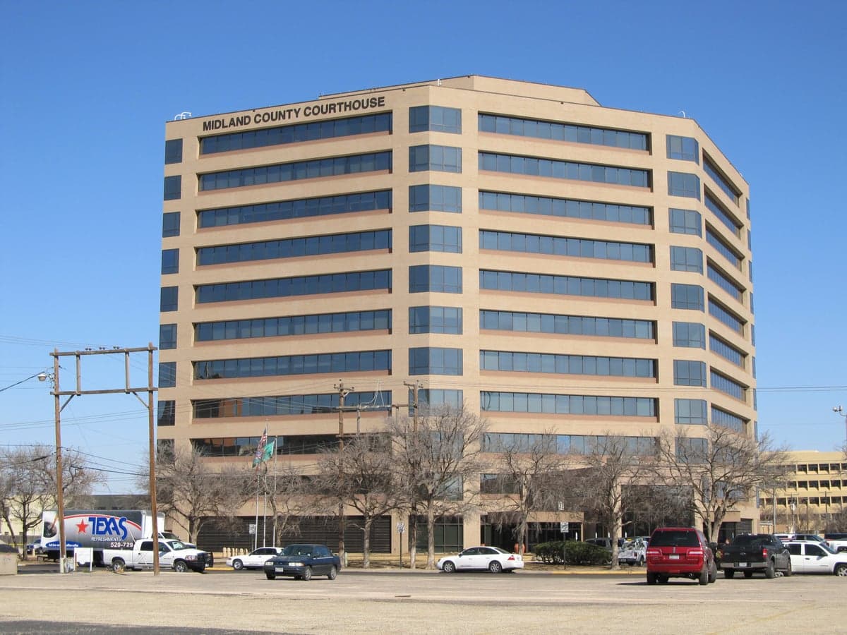
Photo: Wikipedia
Strategic Assessment of Midland County
Workable tactical position. Some exposure to population density or targets, but generally defensible in a crisis.
What does the Strategic Assessment tell us?
Our Strategic Assessment grades tactical survivability of an area. Major population centers, military targets, fallout zones, natural disasters, and border exposure all drive risk — lower exposure means a more defensible position in a crisis.
This is heavily inspired by Joel Skousen's Strategic Relocation book. Highly recommended you checkout the book ($)What does this tell us?
Our Strategic Assessment grades tactical survivability of an area. Major population centers, military targets, fallout zones, natural disasters, and border exposure all drive risk — lower exposure means a more defensible position in a crisis.
This is heavily inspired by Joel Skousen's Strategic Relocation book. Highly recommended you checkout the book ($)Strategic Pillars

Key Distances
Strategic Assessment Analysis
Midland County, Texas, offers a compelling strategic position for relocators prioritizing resilience and self-sufficiency, anchored by its location in the Permian Basin—one of the most energy-secure regions in the continental United States. The area’s combination of geographic isolation from major coastal threats, robust local energy infrastructure, and a growing population of like-minded individuals creates a unique environment for those serious about disaster readiness. While no location is without risk, Midland County’s advantages in energy independence and low natural disaster exposure make it a standout option for conservative-leaning families and individuals evaluating long-term security.
Geographic position and natural advantages for long-term security
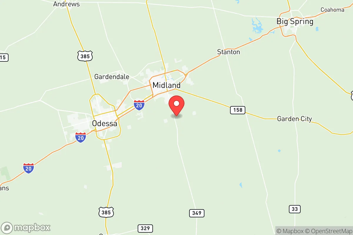
Midland County sits roughly 300 miles inland from the Gulf Coast, placing it well outside the hurricane storm-surge zones that threaten Houston, Corpus Christi, and Galveston. The county’s elevation averages around 2,800 feet, which provides natural drainage and reduces flood risk compared to coastal or riverine areas. The semi-arid climate—averaging only 14 inches of rainfall annually—means fewer weather-related disruptions like tornadoes or severe thunderstorms, though the region does experience occasional dust storms and extreme heat. The nearest major military installation is Dyess Air Force Base in Abilene, about 150 miles north, while Fort Cavazos (formerly Fort Hood) lies roughly 250 miles east—both distant enough to avoid direct fallout from a base-targeting event but close enough to offer logistical support if needed. The county’s position in the Permian Basin also places it near key energy hubs like Odessa to the west and the refineries in Big Spring (about 50 miles northeast), giving residents direct access to fuel production and distribution networks that most of the country lacks.
Risks, exposures, and proximity to fallout-relevant landmarks
Midland County’s primary risk profile centers on its industrial and energy infrastructure, which could become a target in a major conflict or economic disruption. The Permian Basin produces roughly 40% of U.S. crude oil, and the county contains numerous wellheads, pipelines, and processing plants—including the Targa Resources gas processing facility and the Chevron-operated Midland Farms complex. A coordinated attack on these assets could cause localized contamination or economic shock, though the dispersed nature of oilfield infrastructure makes a single catastrophic event less likely than at a concentrated refinery. The county is also within 200 miles of the Pantex nuclear weapons plant near Amarillo (about 180 miles northwest), which could be a high-value target in a national security scenario. However, prevailing winds in the region generally blow from the south and southwest, meaning fallout from Pantex would likely move away from Midland County. The nearest major population centers—El Paso (300 miles west), Dallas-Fort Worth (300 miles east), and San Antonio (250 miles southeast)—are far enough to avoid direct urban collapse effects but close enough that regional supply chains could be disrupted. The county’s low population density (roughly 180,000 residents across 900 square miles) reduces the risk of disease spread and resource competition compared to dense urban areas.
Practical resilience for a relocator: food, water, energy, and defensibility
For a relocator focused on self-sufficiency, Midland County presents a mixed but generally favorable picture. Energy independence is the county’s strongest asset: residents can source propane, diesel, and natural gas directly from local suppliers, and many rural properties already have backup generators or solar arrays. The region’s high solar insolation (over 5.5 peak sun hours per day) makes off-grid solar power highly viable. Water is the critical vulnerability. The county relies on the Ogallala Aquifer and local groundwater, but drought conditions and agricultural drawdown have lowered water tables. A typical residential well costs $10,000–$15,000 to drill, and rainwater harvesting is limited by low annual rainfall. Relocators should plan for water storage—500–1,000 gallons per person is a reasonable target—and consider properties with existing water rights or access to the Colorado River Municipal Water District system. Food production is feasible but requires effort: the growing season runs from March to November, but alkaline soils and heat stress limit traditional gardening. Raised beds with imported soil, drip irrigation, and heat-tolerant crops (okra, black-eyed peas, sorghum) are practical. Local hunting for mule deer and feral hogs is legal with a license, and the county has a strong ranching culture that supports meat production. Defensibility is moderate: the flat terrain offers long sightlines but limited natural cover. Rural properties with perimeter fencing, gated entrances, and distance from main highways (like FM 1788 or SH 349) provide better security. The county’s strong law enforcement presence—Midland County Sheriff’s Office and Midland Police Department maintain active patrols—and a culture of firearm ownership (Texas has permitless carry) mean most residents are equipped for self-defense. The local hospital system, Midland Memorial Hospital, has a Level III trauma center and is well-staffed compared to rural averages, though major emergencies would require airlift to Lubbock or Dallas.
The overall strategic picture for Midland County is one of calculated trade-offs. Its energy security, low natural disaster risk, and distance from coastal and urban targets make it a strong candidate for a relocator prioritizing long-term stability. The water constraint is real but manageable with planning and investment, and the county’s existing infrastructure—roads, schools, healthcare, and supply chains—is robust enough to support a family without requiring complete off-grid living. For a conservative-leaning audience that values self-reliance, community cohesion, and proximity to energy resources, Midland County offers a defensible base of operations that balances isolation with access. The key is to arrive prepared: secure water rights, invest in solar and storage, and build relationships with local ranchers and suppliers before any crisis materializes. In a world of increasing uncertainty, this corner of West Texas provides a rare combination of practical resilience and strategic depth.

* Values derived from national, state, county, city and local statistics and may differ in a specific area. Last updated: 2026-07-05T22:49:16.000Z
Narrative content on this page is AI-generated and may contain mistakes. Verify any details that matter before acting on them.
ReloMaps may earn a commission from affiliate links at no extra cost to you.

