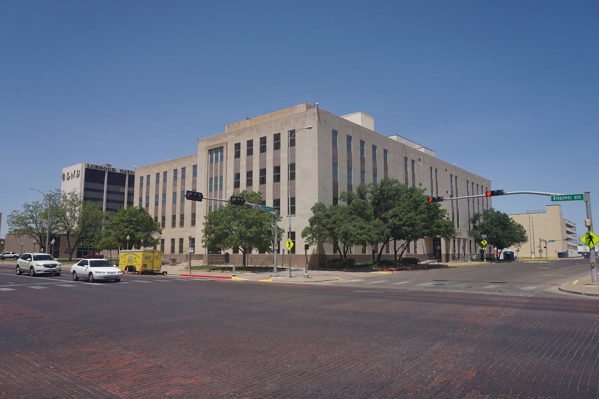
Photo: Wikipedia
Strategic Assessment of Lubbock County
Meaningful friction. Expect exposure to either population pressure, blast zones, or natural disaster risk. Consider buying a retreat property.
What does the Strategic Assessment tell us?
Our Strategic Assessment grades tactical survivability of an area. Major population centers, military targets, fallout zones, natural disasters, and border exposure all drive risk — lower exposure means a more defensible position in a crisis.
This is heavily inspired by Joel Skousen's Strategic Relocation book. Highly recommended you checkout the book ($)What does this tell us?
Our Strategic Assessment grades tactical survivability of an area. Major population centers, military targets, fallout zones, natural disasters, and border exposure all drive risk — lower exposure means a more defensible position in a crisis.
This is heavily inspired by Joel Skousen's Strategic Relocation book. Highly recommended you checkout the book ($)Strategic Pillars

Key Distances
Strategic Assessment Analysis
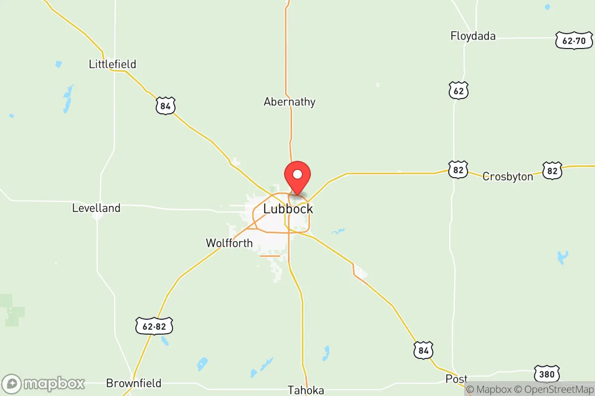
Lubbock County offers a compelling mix of geographic isolation and logistical connectivity that makes it a serious contender for those prioritizing resilience and self-sufficiency. Sitting at the heart of the South Plains, the area benefits from being far removed from the hurricane-prone Gulf Coast, the seismic instability of the western mountain ranges, and the dense population corridors of the I-35 and I-45 axes. This distance from major metropolitan targets—roughly 320 miles west of Dallas-Fort Worth and over 350 miles northwest of Houston—provides a natural buffer against the cascading failures that can follow a major disaster in those hubs, while still maintaining access to regional supply chains via Interstates 27 and 27's connection to the Ports-to-Plains corridor.
Geographic position and natural advantages for long-term stability
The South Plains region, anchored by Lubbock, sits on the high, flat Llano Estacado at an elevation of approximately 3,200 feet. This elevation provides a natural advantage against storm surge and sea-level rise, while the semi-arid climate reduces risks associated with flooding, mold, and structural degradation common in wetter regions. The area's geology—deep, well-drained sandy loam over the Ogallala Aquifer—supports both robust agriculture and stable building foundations. The Ogallala itself is a strategic asset: while it is a finite resource, Lubbock County sits near the southern edge of the aquifer where water tables are still viable for domestic wells and small-scale irrigation, unlike more depleted areas further north. The flat terrain also simplifies road maintenance and emergency vehicle access during adverse weather, a practical advantage over mountainous or coastal regions.
Risks, exposures, and proximity to fallout-relevant landmarks
Lubbock County's primary man-made risk exposure comes from its own infrastructure rather than from distant targets. The county is home to Reese Technology Center, the former Reese Air Force Base, which now hosts a mix of commercial aviation, data centers, and light industrial operations. While not a high-value military target today, its history and current use as a tech and logistics hub mean it could attract secondary attention in a conflict scenario. More significantly, the county lies roughly 200 miles south of the Pantex Plant near Amarillo, the nation's primary nuclear weapon assembly and disassembly facility. Pantex is a high-consequence target; prevailing winds from the north-northwest during winter months could carry fallout toward Lubbock County in a worst-case event, though the distance and dispersion would likely reduce acute risks to manageable levels with basic sheltering. The county is also within 300 miles of the Permian Basin oil and gas fields to the southwest, a critical energy infrastructure zone that could face disruption. Natural risks are limited: the area sits in Texas's Tornado Alley, with an average of 10-15 tornado warnings per year, though most are weak and the flat terrain provides excellent warning time. Wildfire risk is moderate, concentrated in dry grassland areas west of the city.
Practical resilience for a relocator: food, water, energy, and defensibility
For a relocator serious about self-sufficiency, Lubbock County's agricultural base is a primary draw. The surrounding region is one of the most productive cotton-growing areas in the United States, and the county is ringed by feedlots, dairies, and grain elevators that ensure local food production capacity. The Lubbock Cotton Exchange and the Texas Tech University College of Agricultural Sciences provide institutional knowledge and supply chains that a prepared individual can tap into for seed, livestock feed, and equipment. Water access is the critical variable: while the Ogallala Aquifer is declining, domestic wells in the county can still yield 10-20 gallons per minute at depths of 150-300 feet, and rainwater catchment is viable given the average 18-20 inches of annual precipitation. The city of Lubbock's municipal water supply, drawn from Lake Alan Henry and Lake Meredith, is managed by the Canadian River Municipal Water Authority, which provides a degree of institutional redundancy. Energy resilience is strong: the region is a hub for wind energy, with numerous turbines visible from the county's highways, and the flat terrain makes solar panel installation straightforward. Natural gas is abundant and affordable for backup generation. Defensibility is a mixed picture: the open plains offer long sightlines but limited natural cover, meaning a prepared property with perimeter fencing, berms, or a well-placed structure on a slight rise would have a tactical advantage. The county's population density—roughly 320,000 people, with the vast majority in Lubbock proper—means that rural areas outside the city offer genuine isolation while still being within 30 minutes of medical and supply resources.
The overall strategic picture for Lubbock County is one of moderate-to-high resilience for a relocator who is intentional about property selection and resource planning. The area's distance from primary target zones, strong agricultural base, and access to the Ogallala Aquifer provide a foundation that few other regions in Texas can match at a comparable price point. The trade-offs are real: the risk of tornadoes, the long-term decline of the aquifer, and the proximity to Pantex require honest assessment and preparation. For a single individual or family willing to invest in a well, solar panels, and a storm shelter, Lubbock County offers a defensible, productive, and strategically sound base of operations in an increasingly uncertain world.

* Values derived from national, state, county, city and local statistics and may differ in a specific area. Last updated: 2026-07-13T23:10:45.000Z
Narrative content on this page is AI-generated and may contain mistakes. Verify any details that matter before acting on them.
ReloMaps may earn a commission from affiliate links at no extra cost to you.

