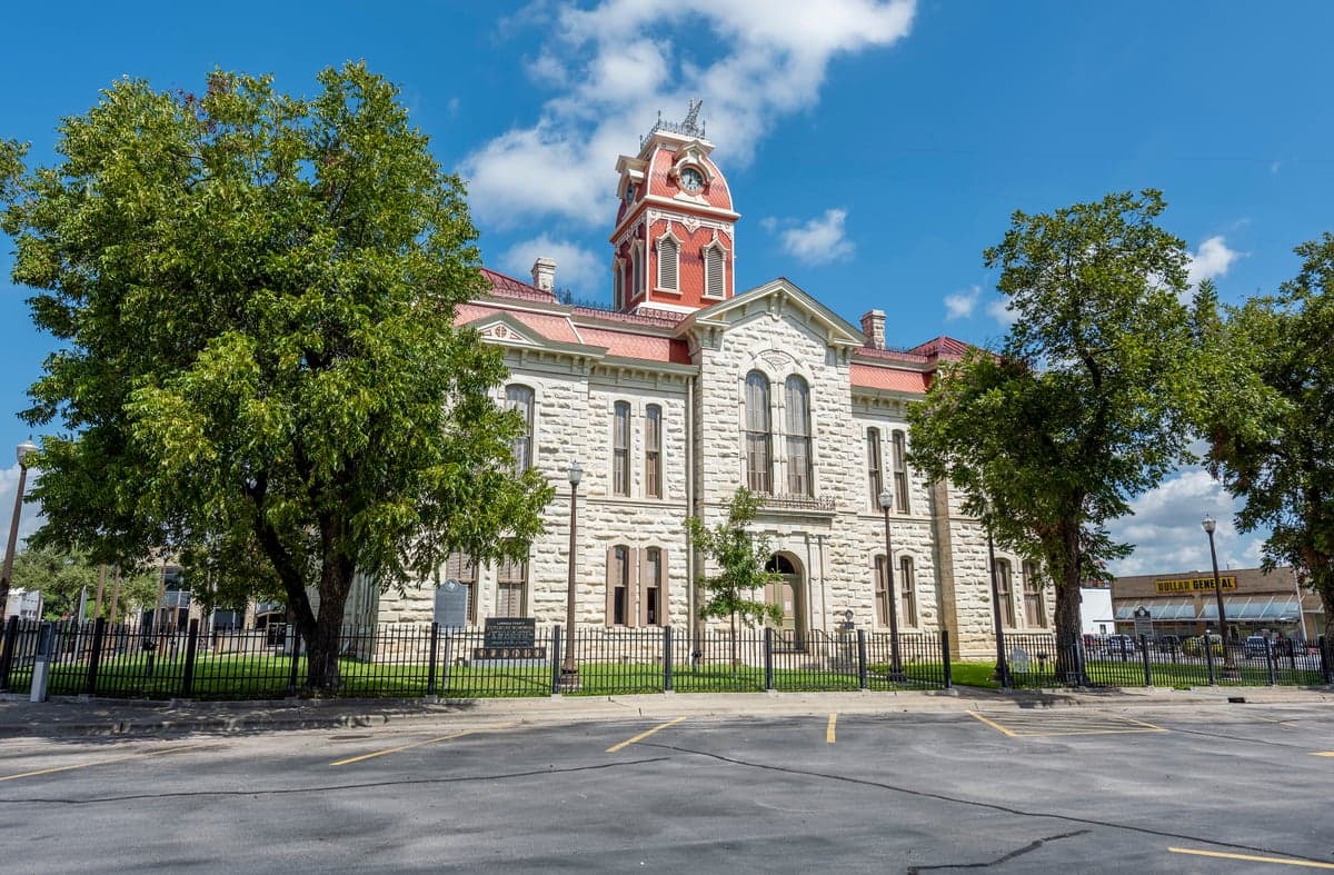
Photo: Wikipedia
Strategic Assessment of Lampasas County
Workable tactical position. Some exposure to population density or targets, but generally defensible in a crisis.
What does the Strategic Assessment tell us?
Our Strategic Assessment grades tactical survivability of an area. Major population centers, military targets, fallout zones, natural disasters, and border exposure all drive risk — lower exposure means a more defensible position in a crisis.
This is heavily inspired by Joel Skousen's Strategic Relocation book. Highly recommended you checkout the book ($)What does this tell us?
Our Strategic Assessment grades tactical survivability of an area. Major population centers, military targets, fallout zones, natural disasters, and border exposure all drive risk — lower exposure means a more defensible position in a crisis.
This is heavily inspired by Joel Skousen's Strategic Relocation book. Highly recommended you checkout the book ($)Strategic Pillars

Key Distances
Strategic Assessment Analysis
Lampasas County offers a compelling strategic position for relocators prioritizing resilience, sitting squarely in the Texas Hill Country where the Balcones Escarpment provides natural elevation and water access, yet it remains within a practical distance of essential services in Austin and Waco. The county seat, Lampasas, anchors a region that has historically weathered economic shifts and natural cycles with a steady, self-reliant character. For those assessing long-term preparedness, the area’s combination of spring-fed water sources, lower population density, and distance from major industrial targets presents a balanced risk profile worth serious consideration.
Geographic position and natural advantages for long-term security
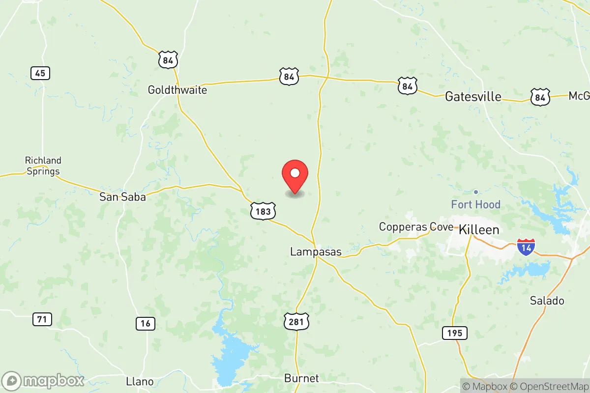
Lampasas County’s location at the intersection of U.S. Highway 281 and U.S. Highway 190 places it roughly 60 miles northwest of Austin and 50 miles southwest of Waco, offering a buffer from the immediate fallout zones of those metropolitan areas while still allowing access to their medical and supply networks. The county’s terrain transitions from the Edwards Plateau to the Cross Timbers, providing varied topography that includes limestone hills, oak-juniper woodlands, and numerous spring-fed creeks. The Lampasas River and its tributaries, including Sulphur Creek which runs through the town of Lampasas, supply reliable surface water—a critical advantage in drought-prone Texas. The area’s elevation, averaging around 1,000 feet, reduces flood risk compared to low-lying coastal regions and provides natural drainage. The nearby Fort Cavazos (formerly Fort Hood) military installation, located about 30 miles east in Bell County, adds a layer of strategic infrastructure and potential security presence, though its status as a high-value target in a conflict scenario must be weighed carefully.
Risks, exposures, and proximity to fallout-relevant landmarks
The primary man-made risk for Lampasas County stems from its proximity to Fort Cavazos, one of the largest military bases in the world by area. In a major conflict, this installation would be a primary target, and prevailing winds from the east could carry fallout across eastern portions of the county. The town of Lampasas itself sits far enough west—roughly 25 miles from the base boundary—to reduce direct blast effects, but particulate fallout remains a concern. Additionally, the county lies within 100 miles of the Houston Ship Channel and its refinery corridor, a dense concentration of petrochemical infrastructure that would be a high-priority target. While prevailing winds generally carry Gulf Coast fallout northeast toward Louisiana, a shift in weather patterns could introduce secondary risks. Natural hazards include periodic severe drought, which stresses water supplies and increases wildfire risk in the juniper-heavy rangelands. The county experiences occasional tornadoes and hailstorms, though it sits west of the more active tornado alley in North Texas. Flash flooding along the Lampasas River and its tributaries is a localized concern, particularly in low-lying areas near Lometa and Adamsville.
Practical resilience for a relocator: food, water, energy, and defensibility
For a relocator focused on self-sufficiency, Lampasas County’s practical resilience is above average for Central Texas. The region’s limestone aquifers, particularly the Edwards-Trinity Plateau aquifer, provide groundwater that is generally accessible with moderate-depth wells—typically 200 to 400 feet in most areas. Surface water from the Lampasas River and its tributaries offers supplementary supply, though riparian rights and drought restrictions apply. The county’s agricultural heritage means that local food production is viable: the surrounding ranchlands support cattle, goats, and sheep, and the fertile bottomlands along the river can sustain vegetable gardens and small orchards. The local climate supports a 240-day growing season, allowing for year-round food production with season extension techniques. Energy resilience is moderate; the county is served by the Electric Reliability Council of Texas (ERCOT) grid, which has shown vulnerability during winter storms, but the rural nature of the area means that many properties already have backup generators or solar installations. The town of Lampasas has a municipal electric utility, which can offer more localized control during grid disruptions. Defensibility is aided by the county’s low population density—roughly 20 people per square mile—and its dispersed settlement pattern, with most residents living on acreage rather than in dense subdivisions. The terrain provides natural chokepoints along the river valleys and highway corridors, and the local sheriff’s office and volunteer fire departments maintain a visible presence. However, the county lacks a centralized emergency operations center with hardened communications, and residents should plan for self-reliance during the first 72 hours of any event.
The overall strategic picture for Lampasas County is one of moderate-to-high resilience with acknowledged trade-offs. Its distance from major metropolitan targets like Austin and Houston reduces primary fallout risk, while its proximity to Fort Cavazos introduces a specific vulnerability that must be factored into any relocation decision. The county’s natural water resources, agricultural capacity, and low population density provide a solid foundation for long-term self-sufficiency, but relocators should invest in well water testing, backup power systems, and wildfire mitigation measures. The local community in Lampasas and the smaller settlements of Lometa and Adamsville maintains a culture of mutual aid and practical preparedness, which is a soft asset that cannot be overstated. For the conservative-leaning individual or family seeking a balance between rural security and reasonable access to urban resources, Lampasas County represents a defensible, resource-rich option that requires proactive planning but offers genuine strategic depth.

* Values derived from national, state, county, city and local statistics and may differ in a specific area. Last updated: 2026-06-15T14:30:26.000Z
Narrative content on this page is AI-generated and may contain mistakes. Verify any details that matter before acting on them.
ReloMaps may earn a commission from affiliate links at no extra cost to you.

