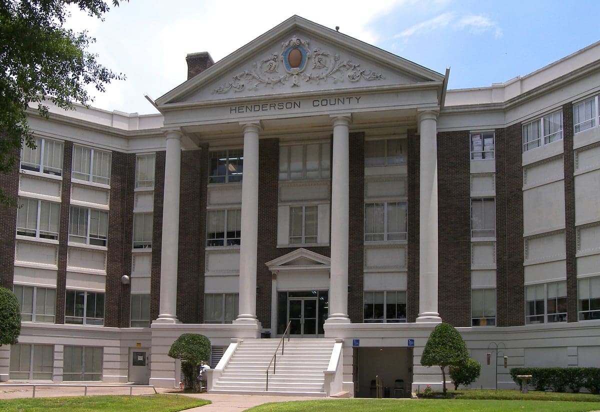
Photo: Wikipedia
Strategic Assessment of Henderson County
Workable tactical position. Some exposure to population density or targets, but generally defensible in a crisis.
What does the Strategic Assessment tell us?
Our Strategic Assessment grades tactical survivability of an area. Major population centers, military targets, fallout zones, natural disasters, and border exposure all drive risk — lower exposure means a more defensible position in a crisis.
This is heavily inspired by Joel Skousen's Strategic Relocation book. Highly recommended you checkout the book ($)What does this tell us?
Our Strategic Assessment grades tactical survivability of an area. Major population centers, military targets, fallout zones, natural disasters, and border exposure all drive risk — lower exposure means a more defensible position in a crisis.
This is heavily inspired by Joel Skousen's Strategic Relocation book. Highly recommended you checkout the book ($)Strategic Pillars

Key Distances
Strategic Assessment Analysis
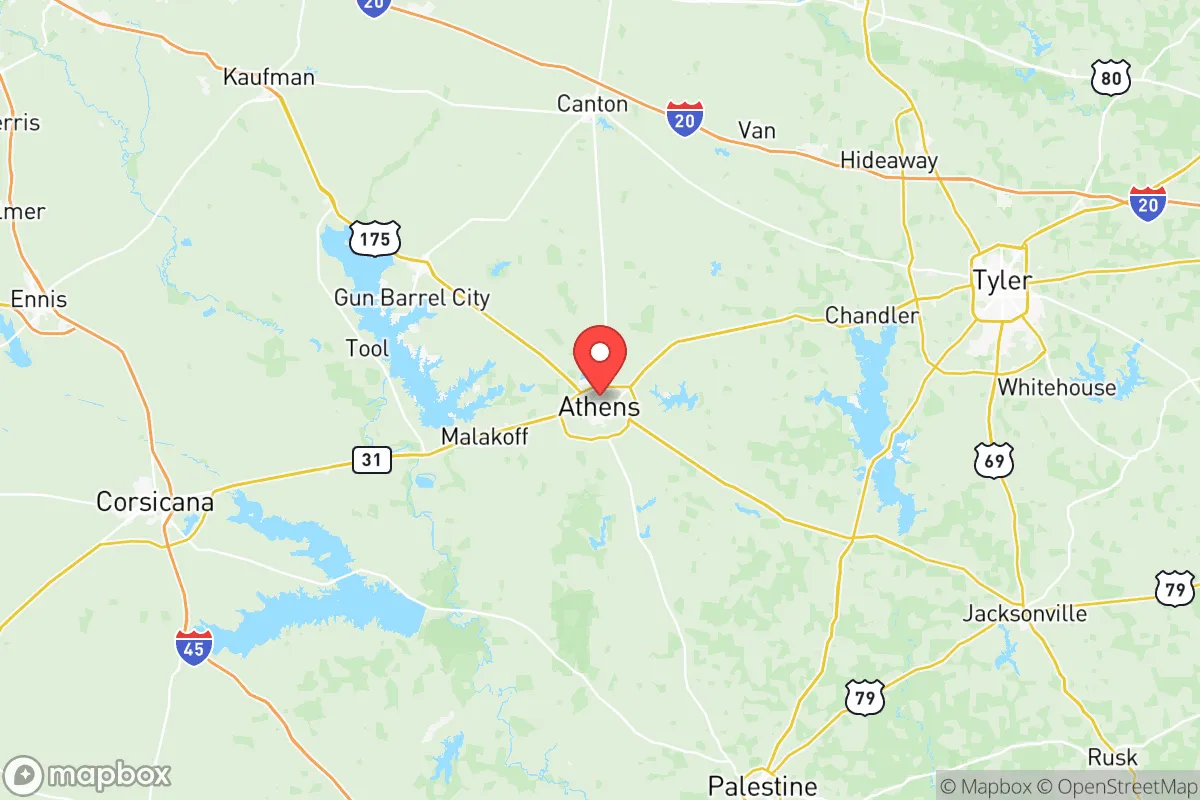
Henderson County, Texas, presents a compelling strategic option for relocators prioritizing resilience and self-sufficiency, balancing its position in the Piney Woods with proximity to major infrastructure. Located roughly 70 miles southeast of Dallas and 100 miles north of Houston, the county offers a buffer from the immediate blast and fallout zones of those metropolitan areas while remaining within a practical distance for supply runs or medical access. The county seat, Athens, anchors a region characterized by rolling hills, dense pine forests, and numerous lakes, providing natural advantages for those serious about disaster readiness and long-term sustainability.
Geographic position and natural advantages for long-term security
Henderson County’s geography is its strongest asset for resilience. The county sits within the East Texas Piney Woods, a region of moderate elevation (300-500 feet) and abundant surface water, including the Trinity River and large reservoirs like Cedar Creek Lake (shared with Kaufman County) and Lake Palestine (shared with Smith and Anderson counties). This water availability is a critical factor for self-sufficiency, as the area receives roughly 45 inches of rainfall annually, reducing dependence on deep aquifers. The terrain—gently rolling hills with mixed hardwood and pine forests—offers natural cover and defensibility, with numerous rural tracts providing seclusion without complete isolation. The county’s position also places it outside the primary hurricane surge zones of the Gulf Coast (about 200 miles inland) and away from the tornado-prone “Dixie Alley” hotspots further north, though severe weather remains a seasonal reality. For a relocator, the ability to access multiple water sources (Cedar Creek Lake, Lake Palestine, the Trinity River) and the relative lack of major industrial targets within the county itself are significant pluses.
Risks, exposures, and proximity to fallout-relevant landmarks
No strategic assessment is complete without acknowledging the risks. Henderson County’s primary exposure comes from its proximity to high-value targets in the Dallas-Fort Worth metroplex and the Houston-Galveston corridor. A nuclear or major industrial incident at Fort Cavazos (formerly Fort Hood, about 90 miles southwest), the Comanche Peak Nuclear Power Plant (about 100 miles west, near Glen Rose), or the sprawling refinery complexes along the Houston Ship Channel (about 120 miles south) could produce fallout patterns that might affect the county depending on wind direction. The county also contains its own modest infrastructure: the Athens Municipal Airport and a few smaller industrial sites, but nothing on the scale that would make it a primary target. Natural risks include periodic flash flooding along the Trinity River and its tributaries, particularly in low-lying areas near Malakoff and Trinidad, and the threat of wildfire in dry years given the dense forest cover. The county’s location along U.S. Highway 175 and State Highway 31 means it could see significant evacuation traffic from Dallas or Houston during a crisis, potentially complicating egress. For the relocator, the key takeaway is that Henderson County is not a zero-risk zone, but its risks are primarily secondary (fallout, evacuation congestion) rather than primary (direct blast, chemical spill).
Practical resilience for a relocator: food, water, energy, and defensibility
For someone serious about self-sufficiency, Henderson County offers a workable baseline. Water is the strongest suit: the county’s lakes and rivers provide reliable surface water, and many rural properties have access to shallow wells (the Carrizo-Wilcox aquifer underlies much of the area). Rainwater catchment is practical given the annual precipitation. Food production is feasible, with a growing season of roughly 230 days and soils ranging from sandy loam to clay. The county has a strong agricultural tradition—hay, cattle, and poultry are common—and local farmers’ markets in Athens, Eustace, and Chandler provide networking opportunities for those learning to grow or preserve food. Hunting (deer, feral hogs, turkey) is a realistic supplement, with public land access at the Trinity River National Wildlife Refuge (partial) and private leases common. Energy resilience is mixed: the county is served by Oncor Electric Delivery, and power outages from storms or grid strain are a known issue. Solar potential is good (average 5 peak sun hours per day), and many rural properties already use propane or backup generators. The county’s low population density (about 80 people per square mile) and large tracts of forested land make it relatively defensible compared to suburban or urban alternatives. However, the lack of a major medical center within the county (the nearest Level 1 trauma centers are in Dallas or Tyler) is a vulnerability for long-term resilience planning.
The overall strategic picture for Henderson County is one of moderate-to-strong resilience with manageable trade-offs. It offers a genuine buffer from the highest-risk zones of Texas while retaining access to the resources of the Dallas-Fort Worth and Tyler-Longview regions. The abundance of surface water, the agricultural potential, and the low population density are concrete advantages for a relocator prioritizing self-sufficiency. The primary downsides—secondary fallout risk from distant targets, seasonal flooding, and limited medical infrastructure—are real but not disqualifying for most preparedness-minded individuals. For the reader weighing a move, Henderson County represents a practical middle ground: not as remote as the Big Bend region, not as exposed as the suburbs of Houston or Dallas, and with enough natural capital to support a long-term strategy of independence. The key is to choose a specific location carefully—higher ground near Lake Palestine or the northern part of the county near Tool offers better defensibility than the Trinity River bottomlands—and to invest in water storage, solar capacity, and community ties before a crisis arrives.

* Values derived from national, state, county, city and local statistics and may differ in a specific area. Last updated: 2026-10-28T10:29:14.000Z
Narrative content on this page is AI-generated and may contain mistakes. Verify any details that matter before acting on them.
ReloMaps may earn a commission from affiliate links at no extra cost to you.

