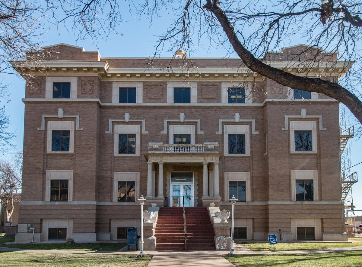
Photo: Wikipedia
Strategic Assessment of Hale County
Strong survivability profile. Good buffer from population centers, with manageable environmental and tactical risks.
What does the Strategic Assessment tell us?
Our Strategic Assessment grades tactical survivability of an area. Major population centers, military targets, fallout zones, natural disasters, and border exposure all drive risk — lower exposure means a more defensible position in a crisis.
This is heavily inspired by Joel Skousen's Strategic Relocation book. Highly recommended you checkout the book ($)What does this tell us?
Our Strategic Assessment grades tactical survivability of an area. Major population centers, military targets, fallout zones, natural disasters, and border exposure all drive risk — lower exposure means a more defensible position in a crisis.
This is heavily inspired by Joel Skousen's Strategic Relocation book. Highly recommended you checkout the book ($)Strategic Pillars

Key Distances
Strategic Assessment Analysis
Hale County, anchored by the city of Plainview, offers a strategic relocation option for those prioritizing disaster readiness and self-sufficiency, largely due to its position in the Texas Panhandle—far from coastal hurricane zones, major metropolitan targets, and the dense industrial corridors that define risk in other parts of the state. This area’s resilience stems from its agricultural backbone, low population density, and distance from high-value strategic assets, making it a viable base for individuals and families seeking a more secure long-term position. While no location is immune to all threats, Hale County’s combination of geographic isolation and resource availability provides a compelling case for the preparedness-minded relocator.
Geographic position and natural advantages for disaster preparedness
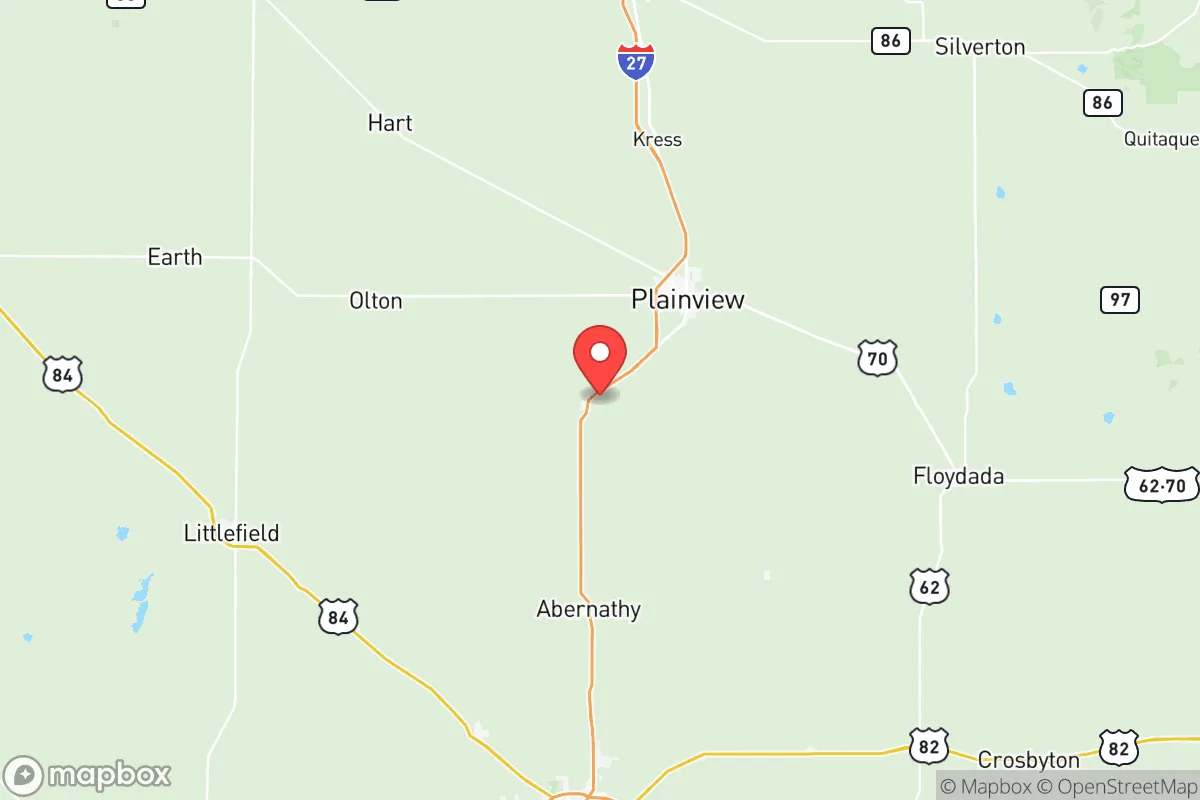
Hale County sits roughly 40 miles north of Lubbock and about 100 miles south of Amarillo, placing it in a sparsely populated region of the High Plains that offers significant strategic depth. The area’s flat, open terrain provides clear sightlines and limited natural cover, which can be a double-edged sword, but its distance from major population centers—over 300 miles from the Dallas-Fort Worth metroplex and more than 400 miles from Houston—reduces exposure to cascading urban failures, civil unrest, or evacuation chaos. The local climate is semi-arid, with average annual rainfall around 20 inches, which minimizes flood risk compared to eastern Texas, though drought and wildfire are periodic concerns. The Ogallala Aquifer lies beneath the county, providing a deep groundwater source that is less vulnerable to surface contamination than river-fed systems in other regions. For a relocator, this means a reliable water supply for household use and small-scale agriculture, assuming proper well infrastructure is in place. The county’s elevation—roughly 3,300 feet above sea level—also offers a slight advantage in terms of atmospheric dispersion of airborne contaminants, though this is a marginal factor in most realistic scenarios.
Risks, exposures, and proximity to fallout-relevant landmarks
Hale County’s primary risk profile is shaped by its agricultural economy and relative isolation, but it is not without exposure to man-made threats. The county is approximately 150 miles from the Pantex nuclear weapons assembly plant near Amarillo, a high-value strategic target that could generate fallout in a major conflict scenario. Prevailing winds in the region typically blow from the south-southwest, meaning a release from Pantex would likely carry toward the Oklahoma border rather than directly over Hale County, but this is not a guarantee and depends on seasonal patterns. Closer to home, the county contains several large-scale concentrated animal feeding operations (CAFOs) and grain elevators, which are not direct targets but could become secondary hazards if infrastructure fails—for instance, ammonia leaks from fertilizer storage or fires at grain facilities. The Burlington Northern Santa Fe (BNSF) railway line runs through Plainview, carrying freight that includes hazardous materials, though the volume is far lower than along the I-35 or I-45 corridors. Natural disaster risks are moderate: tornadoes are a seasonal threat, with the county falling within the southern edge of Tornado Alley, and severe thunderstorms can produce hail and straight-line winds. Wildfire risk is elevated during dry periods, particularly in the rural grasslands and farmlands surrounding Plainview, but the flat terrain and extensive road network (including U.S. Highway 70 and State Highway 194) provide multiple evacuation routes. The county’s distance from the Gulf Coast eliminates hurricane storm surge and flooding as concerns, and its inland position reduces earthquake risk to near zero. For the strategic relocator, the key takeaway is that Hale County’s threats are primarily natural and localized, rather than stemming from proximity to high-value military or industrial targets like Fort Hood (over 300 miles away) or the Houston Ship Channel (over 400 miles away).
Practical resilience for a relocator: food, water, energy, and defensibility
Hale County’s agricultural base is its strongest asset for long-term self-sufficiency. The county is a major producer of cotton, corn, wheat, and sorghum, with Plainview hosting several grain elevators and cotton gins that support local processing. For a relocator, this means access to bulk grains and feed for livestock, as well as a network of farmers and ranchers who can supply fresh produce, eggs, and meat through direct relationships. The local food system is robust enough that a household with land could realistically achieve a high degree of food independence within a few growing seasons. Water availability is the critical variable: the Ogallala Aquifer is being depleted at an unsustainable rate across the High Plains, and Hale County has seen significant groundwater declines over the past decades. However, for a single household or small family, a private well drawing from the aquifer can provide ample water for drinking, cooking, and gardening, provided the well is drilled deep enough (typically 200-400 feet in this area). Rainwater catchment is also viable, with the semi-arid climate yielding enough precipitation to supplement household needs during wetter months. Energy resilience is moderate: the county is served by several electric cooperatives, and natural gas is available in Plainview and surrounding communities. Solar potential is excellent, with the region averaging over 260 sunny days per year, making off-grid photovoltaic systems a practical investment. Wind energy is also abundant, though small-scale wind turbines may face permitting hurdles in some areas. Defensibility is a mixed picture: the open terrain offers little natural cover, which can be a disadvantage for perimeter security, but the low population density (roughly 34,000 people across 1,004 square miles) means fewer neighbors to contend with and more space to establish a buffer. The county’s road network is sparse but well-maintained, with U.S. Highway 70 providing a direct east-west route and State Highway 194 connecting to Lubbock. For a relocator, the ideal property would be a few miles outside Plainview or one of the smaller communities like Hale Center or Petersburg, where land is affordable and access to water and agricultural resources is maximized. The local culture is heavily influenced by ranching and farming, which means neighbors are generally self-reliant and community-oriented—a significant social asset in a crisis scenario.
Overall, Hale County presents a balanced strategic picture for the disaster-prepared relocator: it offers strong agricultural resources, reliable groundwater, excellent solar potential, and a low-risk geographic position far from major urban and industrial targets, but it requires proactive investment in water conservation, wildfire mitigation, and off-grid energy infrastructure. The area’s distance from Pantex is a manageable risk, and its lack of proximity to high-value military bases, refineries, or ports means it is unlikely to be a primary target in any conflict scenario. For a family or individual willing to put in the work to develop a self-sufficient homestead, Hale County provides a solid foundation with fewer trade-offs than many other regions in Texas. The key is to act now—secure a property with water rights, invest in solar and rainwater systems, and build relationships with local producers before the next crisis drives demand for exactly this kind of location.

* Values derived from national, state, county, city and local statistics and may differ in a specific area. Last updated: 2026-09-08T17:24:20.000Z
Narrative content on this page is AI-generated and may contain mistakes. Verify any details that matter before acting on them.
ReloMaps may earn a commission from affiliate links at no extra cost to you.

