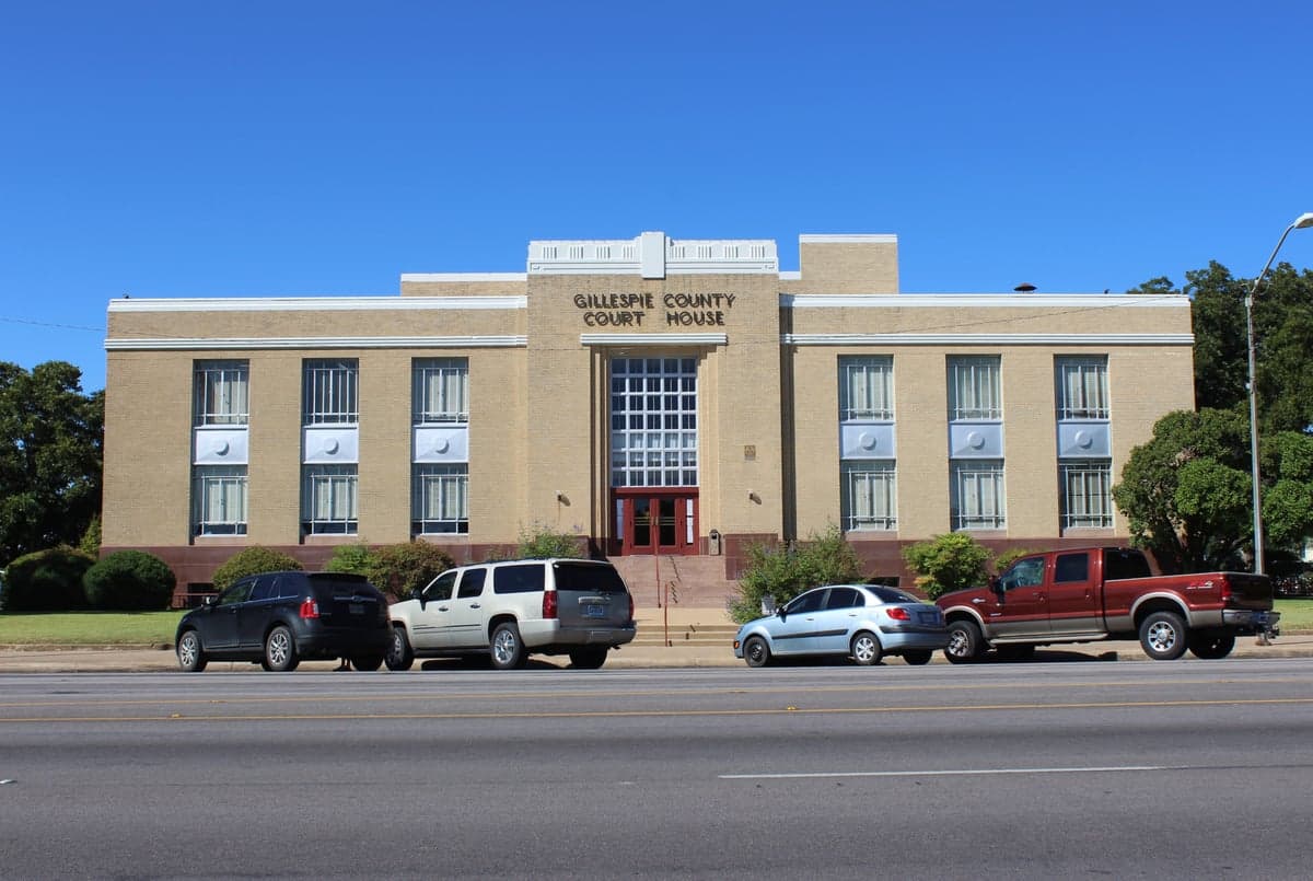
Photo: Wikipedia
Strategic Assessment of Gillespie County
Workable tactical position. Some exposure to population density or targets, but generally defensible in a crisis.
What does the Strategic Assessment tell us?
Our Strategic Assessment grades tactical survivability of an area. Major population centers, military targets, fallout zones, natural disasters, and border exposure all drive risk — lower exposure means a more defensible position in a crisis.
This is heavily inspired by Joel Skousen's Strategic Relocation book. Highly recommended you checkout the book ($)What does this tell us?
Our Strategic Assessment grades tactical survivability of an area. Major population centers, military targets, fallout zones, natural disasters, and border exposure all drive risk — lower exposure means a more defensible position in a crisis.
This is heavily inspired by Joel Skousen's Strategic Relocation book. Highly recommended you checkout the book ($)Strategic Pillars

Key Distances
Strategic Assessment Analysis
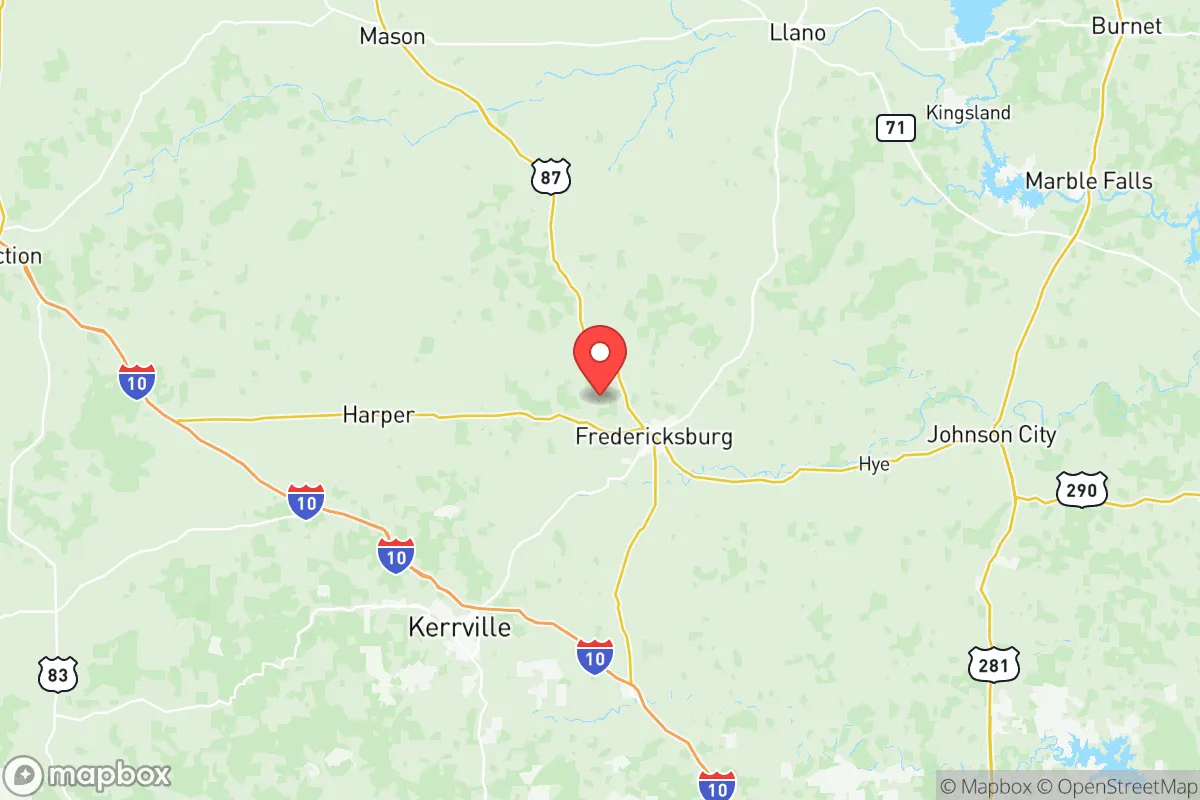
Gillespie County, anchored by the historic town of Fredericksburg, offers a strategic blend of geographic insulation and practical self-sufficiency that appeals to relocation-minded individuals and families prioritizing long-term resilience. Situated in the Texas Hill Country roughly 70 miles west of Austin and 60 miles north of San Antonio, the county sits outside the immediate blast and fallout zones of major metropolitan targets while remaining accessible to urban supply chains when conditions are stable. The area’s rugged limestone hills, reliable spring-fed creeks, and deep agricultural roots provide a foundation for independent living that few suburban or exurban counties can match.
Geographic position and natural advantages for long-term stability
Gillespie County’s location in the Edwards Plateau region gives it several structural advantages. The terrain is rolling to hilly, with elevations ranging from 1,500 to 2,200 feet, which naturally reduces flood risk compared to low-lying coastal or riverine areas. The county sits atop the Trinity Aquifer, a major groundwater source that supplies numerous wells and springs, including the Pedernales River which runs through Fredericksburg. This water security is a critical asset: unlike much of West Texas, Gillespie County receives an average of 30 inches of rainfall annually, supporting both residential wells and small-scale agriculture without heavy reliance on distant reservoirs. The nearest major military installation is Fort Cavazos (formerly Fort Hood) roughly 90 miles north, and the closest strategic industrial targets—such as the San Antonio refinery corridor or Austin’s tech and government infrastructure—are over an hour’s drive away. This buffer zone reduces the likelihood of direct kinetic or fallout exposure from a major strike on those cities, while still allowing for periodic resupply trips when roads are passable. The county’s position along U.S. Highway 290 and State Highway 16 provides two primary evacuation routes that avoid the congested I-35 corridor, a key consideration for anyone mapping egress options.
Risks, exposures, and proximity to fallout-relevant landmarks
No location is risk-free, and Gillespie County has specific vulnerabilities that a serious relocator must weigh. The most significant man-made risk comes from its proximity to two major nuclear power plants: the South Texas Nuclear Generating Station near Bay City is roughly 180 miles southeast, and the Comanche Peak plant near Glen Rose is about 120 miles northeast. While these distances exceed the typical 10-mile emergency planning zone, a catastrophic release could still deposit measurable fallout across the Hill Country depending on wind patterns. More immediate are the risks from the county’s own infrastructure: the Fredericksburg Municipal Airport is a general aviation field with no military or heavy industrial traffic, but the nearby Kerrville and Junction airports see occasional military training flights from Fort Cavazos. The county also hosts several large propane and anhydrous ammonia storage facilities used by local agriculture, which could become secondary hazards if damaged by earthquake, tornado, or civil unrest. Wildfire risk is moderate to high, particularly in the drier summer months when the juniper and oak scrub can carry fast-moving grass fires. The 2011 Rockhouse Fire burned over 200,000 acres in adjacent counties, demonstrating that even well-prepared rural areas are not immune to conflagration. Tornado risk is lower than in the Panhandle but still present; the county averages 2-3 tornado warnings per year, typically in spring. Finally, Gillespie County’s population of roughly 27,000 is spread across 1,061 square miles, giving a density of about 25 people per square mile—low enough to reduce disease transmission and resource competition in a crisis, but high enough that a determined group could still find neighbors willing to cooperate.
Practical resilience for a relocator: food, water, energy, and defensibility
For someone serious about self-sufficiency, Gillespie County offers a strong baseline. Water is the most critical resource, and the county’s aquifer access means that a properly sited property with a drilled well (typically 200-400 feet deep) can provide 10-20 gallons per minute indefinitely, even during drought. Rainwater catchment is also viable, with average annual rainfall sufficient to fill a 10,000-gallon cistern from a 2,000-square-foot roof in a normal year. Food production is well-established: the county has over 1,200 farms and ranches, producing cattle, goats, sheep, hay, peaches, wine grapes, and vegetables. The Fredericksburg Farmers Market operates year-round, and local processors like Gillespie County Meat Processing can handle custom slaughter. For long-term storage, the county’s mild winters (average January low of 33°F) allow for root cellaring and cool-season gardening without the deep freezes of northern states. Energy resilience is mixed: the county is served by the Pedernales Electric Cooperative, which has a good reliability record but is still grid-dependent. Solar potential is excellent, with an average of 220 sunny days per year, and off-grid systems with battery storage are common among rural properties. Propane is widely available for backup heating and cooking, and firewood is abundant from the juniper and live oak stands. Defensibility is a function of terrain and community. The rolling hills and limestone bluffs provide natural observation points and choke points along the few paved roads. The county’s strong hunting culture means a high percentage of households own firearms and are familiar with their use. The Gillespie County Sheriff’s Office maintains a 24/7 dispatch and has mutual aid agreements with surrounding counties, but response times in remote areas can exceed 30 minutes. For those seeking a prepared community, the area has several organized groups focused on emergency preparedness, including the Gillespie County Office of Emergency Management which runs CERT (Community Emergency Response Team) training and maintains a volunteer ham radio network.
The overall strategic picture for Gillespie County is one of balanced resilience with manageable trade-offs. It offers genuine geographic insulation from the most likely high-value targets in Texas, reliable water and food resources, and a terrain that favors defense and self-sufficiency. The primary drawbacks are the moderate wildfire risk, the distant but non-zero nuclear plant exposure, and the need for upfront investment in well drilling, solar, and food storage to achieve true independence. For a family or individual willing to put in the work—securing a property with water rights, building a solar-plus-battery system, and establishing a garden and livestock operation—Gillespie County provides one of the most defensible and sustainable living environments in Central Texas. It is not a bug-out location for a weekend; it is a place to build a life that can weather both slow-burn economic disruptions and acute crises, without the isolation of far West Texas or the vulnerability of the I-35 corridor.

* Values derived from national, state, county, city and local statistics and may differ in a specific area. Last updated: 2026-06-17T19:57:55.000Z
Narrative content on this page is AI-generated and may contain mistakes. Verify any details that matter before acting on them.
ReloMaps may earn a commission from affiliate links at no extra cost to you.

