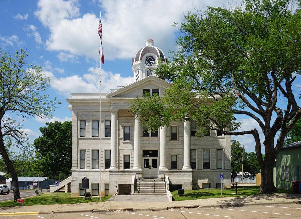
Photo: Wikipedia
Strategic Assessment of Franklin County
Workable tactical position. Some exposure to population density or targets, but generally defensible in a crisis.
What does the Strategic Assessment tell us?
Our Strategic Assessment grades tactical survivability of an area. Major population centers, military targets, fallout zones, natural disasters, and border exposure all drive risk — lower exposure means a more defensible position in a crisis.
This is heavily inspired by Joel Skousen's Strategic Relocation book. Highly recommended you checkout the book ($)What does this tell us?
Our Strategic Assessment grades tactical survivability of an area. Major population centers, military targets, fallout zones, natural disasters, and border exposure all drive risk — lower exposure means a more defensible position in a crisis.
This is heavily inspired by Joel Skousen's Strategic Relocation book. Highly recommended you checkout the book ($)Strategic Pillars

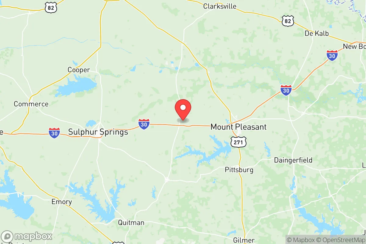
Key Distances
Strategic Assessment Analysis
Franklin County, Texas, offers a resilience profile that punches well above its weight for a rural county of roughly 10,000 residents, anchored by the county seat of Mount Vernon and the smaller community of Winnsboro. Its position in the Northeast Texas timberlands, roughly 90 miles east of Dallas and 70 miles north of Tyler, places it far enough from major metropolitan blast zones and industrial corridors to matter, yet close enough to regional supply chains to remain practical. For a relocator weighing disaster readiness and self-sufficiency, Franklin County presents a genuine middle-ground option: not a remote mountain redoubt, but a defensible, resource-rich patch of the Piney Woods with real strategic merit.
Geographic position and natural advantages for long-term stability
Franklin County sits in a transitional zone between the Blackland Prairie to the west and the Piney Woods to the east, a geography that delivers both fertile soil and dense timber cover. The county is bisected by the Sulphur River basin, with the North Sulphur River and White Oak Creek providing surface water drainage across a landscape of gentle rolling hills. Elevation ranges from roughly 350 to 550 feet, which is low enough to avoid the severe winter weather of the High Plains but high enough to escape the coastal floodplain issues that plague communities closer to the Gulf. The county's timber resources are substantial — loblolly and shortleaf pine dominate the eastern half, with mixed hardwoods along the creek bottoms — offering both building material and firewood in a prolonged grid-down scenario.
The practical advantage of this location is twofold. First, the county is shielded from the hurricane storm surge and refinery-adjacent hazards that define life in the Houston-Galveston corridor, roughly 250 miles to the south. Second, it sits outside the immediate fallout-adjacent footprint of the Dallas-Fort Worth metroplex, whose strategic targets (Lone Star Army Ammunition Plant in Texarkana, roughly 60 miles northeast, and the Red River Army Depot near New Boston, about 50 miles north) are the nearest military-industrial landmarks of note. Neither is close enough to pose a direct blast or fallout risk under most scenarios, but their presence does mean the county is not entirely off the grid of strategic targeting. The nearest major military installation, Fort Cavazos (formerly Fort Hood), is over 150 miles southwest — far enough to be irrelevant to daily risk calculations.
Exposure to natural hazards and proximity to fallout-relevant landmarks
Franklin County's risk profile is dominated by weather and wildfire rather than industrial or military threats. The county sits in Tornado Alley's southern fringe, with an average of 3-5 tornado warnings per year, though direct strikes are rare — the last significant tornado event was an EF-2 that tracked near the Mount Vernon city limits in April 2020, damaging several structures but causing no fatalities. Severe thunderstorm wind events are more common, with damaging straight-line winds occurring several times annually, typically in the spring and early summer months. The county's wildfire risk is moderate but real, particularly in the timber-heavy eastern sections during late-summer drought conditions; the 2011 Texas drought saw several large fires in the Winnsboro area that burned over 2,000 combined acres.
Flooding is the most consistent natural hazard, though it is localized. The Sulphur River and its tributaries have a documented history of flash flooding, with the most notable event being the October 2018 flood that closed portions of State Highway 37 south of Mount Vernon for three days. The county's drainage infrastructure is modest — a handful of county-maintained bridges and culverts — and several rural roads become impassable during heavy rain events. For a relocator, this means the practical risk is less about catastrophic destruction and more about temporary isolation: knowing which roads flood and planning alternate routes is a genuine preparedness consideration.
From a man-made risk standpoint, the county's exposure is minimal. The nearest nuclear power plant is Comanche Peak, over 130 miles west near Glen Rose, well outside any realistic plume zone. The closest major chemical facilities are in the Longview-Marshall corridor, roughly 35 miles east, which hosts several natural gas processing plants and a lithium battery manufacturing facility. The most significant local industrial presence is the AEP/SWEPCO Wilkes Creek gas-fired power plant south of Mount Vernon, which is a natural gas facility with minimal catastrophic failure risk. The county's rail line, a Union Pacific branch running through Mount Vernon, carries primarily agricultural and timber products rather than hazardous materials.
Practical resilience for a relocator: food, water, energy, and defensibility
Franklin County's practical resilience strengths are rooted in its agricultural base and low population density. The county has roughly 1,100 farms covering about 60% of its land area, with cattle operations (approximately 18,000 head) and poultry production (several large-scale broiler operations near the Hopkins County line) being the dominant livestock sectors. Row crops — hay, corn, and soybeans — are concentrated in the western half of the county, while the eastern timberlands support a modest but active hunting and game management economy. For a relocator seeking food security, this means local meat, eggs, and produce are available through farmers markets in Mount Vernon and Winnsboro, and the county's agricultural extension office actively supports small-scale homesteading education.
Water availability is a genuine strength. The county sits atop the Carrizo-Wilcox Aquifer, one of Texas's most productive groundwater sources, with typical well depths of 200-400 feet and yields of 20-50 gallons per minute. Municipal water in Mount Vernon comes from Lake Cypress Springs, a 3,300-acre reservoir shared with Franklin and Hopkins counties, which has never dropped below 80% capacity in its operational history. For a rural property buyer, a private well is the most reliable water strategy, and the county's groundwater district has no current restrictions on domestic well permits. Rainwater catchment is also viable, with average annual rainfall of 45-50 inches — among the highest in Texas.
Energy resilience is more mixed. The county is served by the AEP Texas North grid, which has a documented history of winter weather failures — the February 2021 freeze (Winter Storm Uri) left some rural areas without power for up to five days. Natural gas distribution is available in Mount Vernon and Winnsboro but not in most rural areas, making propane the standard heating fuel for outlying properties. Solar potential is moderate — the county averages about 4.5 peak sun hours per day, slightly below West Texas but adequate for a well-sized off-grid array. Wood heating is a practical option given the timber resources, and several local suppliers sell seasoned firewood year-round.
Defensibility is where Franklin County's geography works in a relocator's favor. The county has only two major arterial roads — Interstate 30 running east-west along its northern border and State Highway 37 running north-south through Mount Vernon — which means chokepoints are few and easily monitored. The county's rural road network is a maze of dead-end county roads and timber access lanes, which is a disadvantage for navigation but a genuine advantage for privacy and security. The county sheriff's office has 12 sworn deputies covering roughly 300 square miles, which means response times in rural areas can exceed 20 minutes — a fact that argues for self-reliance rather than dependence on emergency services. The local population is predominantly conservative and hunting-oriented, with a strong culture of firearm ownership and a well-established network of volunteer fire departments in Mount Vernon, Winnsboro, and the smaller communities of Hagansport and Purley.
The overall strategic picture for a resilience-minded relocator
Franklin County is not a survivalist's fantasyland, but it is a solid, defensible, resource-rich location for someone who wants genuine preparedness without total isolation. Its strengths — abundant water, productive soil, timber resources, low population density, and distance from major strategic targets — are real and measurable. Its weaknesses — winter grid fragility, localized flooding, and modest emergency services — are manageable with proper planning. For a family or individual looking to relocate with resilience as a primary criterion, Franklin County offers a balanced profile: close enough to regional medical care in Mount Pleasant (15 miles north) and Tyler (70 miles south) to handle emergencies, far enough from the state's major risk corridors to sleep soundly. The county's trajectory is stable, its tax base is modest but growing, and its culture remains firmly rooted in the self-reliant, conservative values that align with a preparedness mindset. It is a place where a well-drilled, well-stocked household can genuinely thrive — not merely survive — in an uncertain future.

* Values derived from national, state, county, city and local statistics and may differ in a specific area. Last updated: 2026-10-28T05:31:49.000Z
Narrative content on this page is AI-generated and may contain mistakes. Verify any details that matter before acting on them.
ReloMaps may earn a commission from affiliate links at no extra cost to you.

