Photo: Wikipedia
Strategic Assessment of El Paso County
Multiple tactical vulnerabilities. Population density, target proximity, or disaster risk are likely compounding. A retreat property and exit planning is required.
What does the Strategic Assessment tell us?
Our Strategic Assessment grades tactical survivability of an area. Major population centers, military targets, fallout zones, natural disasters, and border exposure all drive risk — lower exposure means a more defensible position in a crisis.
This is heavily inspired by Joel Skousen's Strategic Relocation book. Highly recommended you checkout the book ($)What does this tell us?
Our Strategic Assessment grades tactical survivability of an area. Major population centers, military targets, fallout zones, natural disasters, and border exposure all drive risk — lower exposure means a more defensible position in a crisis.
This is heavily inspired by Joel Skousen's Strategic Relocation book. Highly recommended you checkout the book ($)Strategic Pillars

Key Distances
Strategic Assessment Analysis
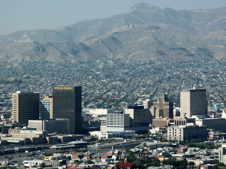
El Paso County offers a unique strategic position for relocation-minded individuals and families who prioritize resilience and self-sufficiency. Situated in the far western tip of Texas, the county benefits from significant geographic isolation from major population centers and industrial targets, while maintaining access to essential infrastructure and cross-border resources. Its location along the Rio Grande and proximity to the Franklin Mountains provide natural defensive advantages that are rare among Texas counties, making it a compelling option for those evaluating long-term preparedness and disaster readiness.
Geographic position and natural defensive advantages
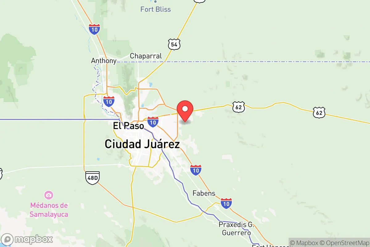
El Paso County's location at the intersection of Texas, New Mexico, and the Mexican state of Chihuahua places it roughly 550 miles from Houston's refinery corridor and over 600 miles from the Dallas-Fort Worth metroplex, distances that significantly reduce exposure to fallout from industrial or population-center disasters. The Franklin Mountains run directly through the county, creating natural barriers and elevated terrain that enhance defensibility and provide multiple vantage points for situational awareness. The Rio Grande serves as a water source and a natural boundary, while the surrounding Chihuahuan Desert offers both challenges and opportunities for those prepared to work with arid conditions. The county's major population anchor, the city of El Paso, sits at the base of the mountains, but the broader county includes smaller communities like Fabens, Tornillo, and Clint that offer more rural, lower-density living options with better access to agricultural land and reduced exposure to urban risks.
Risks, exposures, and proximity to fallout-relevant landmarks
While El Paso County avoids proximity to the major industrial and military targets found in eastern and central Texas, it is not without strategic vulnerabilities. Fort Bliss, one of the largest military installations in the United States, occupies a significant portion of the county and includes air defense artillery, armored brigades, and missile defense systems. This presence makes the area a potential secondary target in a conflict scenario, though the base's location on the eastern edge of the city provides some separation from residential areas. The county also sits adjacent to the Hueco Tanks State Historic Site and the border with Ciudad Juárez, Mexico, which introduces cross-border dynamics that could affect supply chains and security during regional disruptions. Natural risks include extreme heat, drought, and occasional flash flooding in arroyos, but the region is largely free from hurricanes, tornadoes, and seismic activity. The lack of major refineries, chemical plants, or nuclear facilities within 200 miles is a significant positive for fallout avoidance.
Practical resilience for a relocator: food, water, energy, and defensibility
Water availability is the primary constraint in El Paso County, with the region averaging less than 10 inches of annual rainfall. The Rio Grande provides a surface water source, but allocations are heavily managed and subject to interstate compacts and drought cycles. The Hueco Bolson aquifer supplies groundwater, though long-term sustainability requires careful management. For relocators, rainwater harvesting and deep-well access in rural areas are viable but require upfront investment. Food resilience is supported by the Lower Valley agricultural region around Socorro and San Elizario, where pecan orchards, chile farms, and cotton production are established. Local farmers' markets and the El Paso Downtown Art and Farmers Market provide access to regional produce, though year-round growing requires greenhouse or shade structures due to summer heat. Energy resilience is strong: El Paso Electric serves the county with a mix of natural gas, solar, and nuclear power from the Palo Verde plant in Arizona, and the high solar insolation makes off-grid photovoltaic systems highly effective. Defensibility is enhanced by the mountainous terrain, wide-open desert spaces, and the ability to monitor approach routes from elevated positions. The county's population density of roughly 275 people per square mile in the city drops to under 10 per square mile in outlying areas, offering ample space for those seeking low-visibility, self-sufficient living.
Overall, El Paso County presents a balanced strategic picture for the resilience-minded relocator. Its isolation from major industrial and population targets is a genuine asset, and the combination of mountain terrain, water access via the Rio Grande, and existing agricultural infrastructure provides a foundation for long-term self-sufficiency. The presence of Fort Bliss introduces a military-target risk that must be weighed against the security and economic stability the base provides. For families and individuals willing to adapt to arid conditions and invest in water and energy infrastructure, El Paso County offers one of the more defensible and strategically sound options in Texas for those prioritizing preparedness and disaster readiness.

* Values derived from national, state, county, city and local statistics and may differ in a specific area. Last updated: 2026-07-22T23:08:28.000Z
Narrative content on this page is AI-generated and may contain mistakes. Verify any details that matter before acting on them.
ReloMaps may earn a commission from affiliate links at no extra cost to you.

