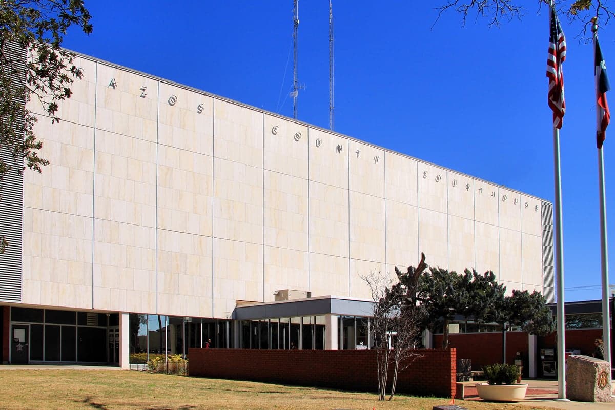
Photo: Wikipedia
Strategic Assessment of Brazos County
Meaningful friction. Expect exposure to either population pressure, blast zones, or natural disaster risk. Consider buying a retreat property.
What does the Strategic Assessment tell us?
Our Strategic Assessment grades tactical survivability of an area. Major population centers, military targets, fallout zones, natural disasters, and border exposure all drive risk — lower exposure means a more defensible position in a crisis.
This is heavily inspired by Joel Skousen's Strategic Relocation book. Highly recommended you checkout the book ($)What does this tell us?
Our Strategic Assessment grades tactical survivability of an area. Major population centers, military targets, fallout zones, natural disasters, and border exposure all drive risk — lower exposure means a more defensible position in a crisis.
This is heavily inspired by Joel Skousen's Strategic Relocation book. Highly recommended you checkout the book ($)Strategic Pillars

Key Distances
Strategic Assessment Analysis
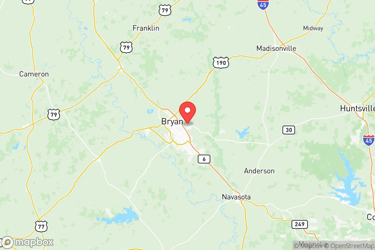
Brazos County offers a compelling mix of geographic resilience and practical self-sufficiency for relocators prioritizing disaster readiness, anchored by the twin cities of Bryan and College Station. Its position roughly 100 miles northwest of Houston and 90 miles east of Austin places it outside the immediate blast and fallout zones of major metropolitan targets, while still providing access to urban supply chains and medical infrastructure. The area’s strategic value is further reinforced by Texas A&M University’s presence, which drives a robust local economy, advanced engineering talent, and emergency management resources that benefit the entire county.
Geographic position and natural advantages for disaster resilience
Brazos County sits on the western edge of the Texas Coastal Plain, a region characterized by gently rolling terrain and clay-loam soils that drain reasonably well compared to the flood-prone bottomlands further east. The county is bisected by the Brazos River, which provides a reliable surface water source, though its floodplain requires careful site selection. The area’s elevation averages around 300 feet above sea level, offering a meaningful buffer against storm surge from the Gulf of Mexico — a key advantage over Houston or Galveston. The climate is humid subtropical, with hot summers and mild winters, supporting year-round gardening and livestock operations. For a relocator, the county’s position between the I-35 and I-45 corridors means evacuation routes run north toward the Dallas-Fort Worth metroplex or west toward the Hill Country, both of which offer higher ground and lower population density in a crisis. The presence of Easterwood Airport (KCLL) in College Station provides a general aviation option for those with aircraft access, while the Union Pacific rail line through Bryan offers an alternative freight corridor for bulk supplies.
Risks, exposures, and proximity to fallout-relevant landmarks
While Brazos County avoids the worst of coastal hurricane impacts, it remains vulnerable to severe thunderstorms, tornadoes, and flash flooding — particularly along the Brazos River and its tributaries like Carter Creek and Burton Creek. The county lies within Tornado Alley’s southern fringe, and the National Weather Service has recorded multiple EF-2 and EF-3 events in the region since 2000. For relocators concerned with man-made risks, the county’s distance from Houston’s refinery corridor (roughly 100 miles) and the Port of Houston’s chemical storage facilities significantly reduces fallout exposure from a potential industrial accident or targeted strike. However, the county itself hosts Texas A&M’s Nuclear Science Center, which operates a 1 MW TRIGA research reactor on the campus — a low-risk facility but one that could become a secondary concern in a broader crisis. The primary fallout-relevant landmark is the proximity to Fort Cavazos (formerly Fort Hood), located about 90 miles west in Bell County, which could be a military target in a conflict scenario. Additionally, the Bryan-College Station metro area’s population of roughly 275,000 means it is not a primary target but could see secondary effects from refugee flows if Houston or Austin were compromised. Relocators should also note the presence of the Texas A&M Engineering Extension Service (TEEX) in College Station, which trains first responders nationwide — a resource that could become a focal point for emergency coordination.
Practical resilience for a relocator: food, water, energy, and defensibility
Brazos County offers strong practical resilience for those seeking self-sufficiency, particularly in food production and water access. The region’s agricultural heritage is evident in the numerous working farms and ranches surrounding Bryan and College Station, with local producers supplying beef, poultry, dairy, and row crops like corn and cotton. The Brazos River and the smaller Navasota River provide surface water for irrigation and household use, though well drilling is common in rural areas and typically yields adequate groundwater from the Carrizo-Wilcox Aquifer at depths of 200-400 feet. For energy resilience, the county is served by the Electric Reliability Council of Texas (ERCOT) grid, which has shown vulnerability during winter storms (notably Winter Storm Uri in 2021), but the presence of the Texas A&M campus means critical infrastructure like the university’s combined heat and power plant can provide backup generation for parts of the area. Solar potential is moderate, with roughly 4.5 peak sun hours per day, making off-grid solar-plus-battery systems feasible for supplemental power. Defensibility is a mixed picture: the county’s flat to gently rolling terrain offers limited natural chokepoints, but the rural areas north and east of Bryan provide ample space for perimeter security and retreat-style living. The local law enforcement presence includes the Brazos County Sheriff’s Office and the College Station Police Department, both of which have demonstrated competence in emergency response, though relocators should plan for self-defense given the county’s proximity to major evacuation routes that could see heavy traffic during a crisis.
Overall, Brazos County presents a balanced strategic picture for the disaster-conscious relocator: it avoids the highest-risk zones while offering genuine practical advantages in water access, agricultural capacity, and institutional emergency resources. The presence of Texas A&M and TEEX provides a unique layer of resilience through engineering expertise and training infrastructure that most similarly sized counties lack. The primary trade-offs are the moderate tornado and flood risks, the potential for refugee pressure from Houston and Austin, and the county’s position within the ERCOT grid’s vulnerable winter operations. For a family or individual willing to invest in site-specific flood mitigation, backup power, and a defensible rural property north of the Brazos River, this area offers one of the more viable combinations of safety and self-sufficiency in central Texas.

* Values derived from national, state, county, city and local statistics and may differ in a specific area. Last updated: 2026-06-27T07:09:24.000Z
Narrative content on this page is AI-generated and may contain mistakes. Verify any details that matter before acting on them.
ReloMaps may earn a commission from affiliate links at no extra cost to you.

