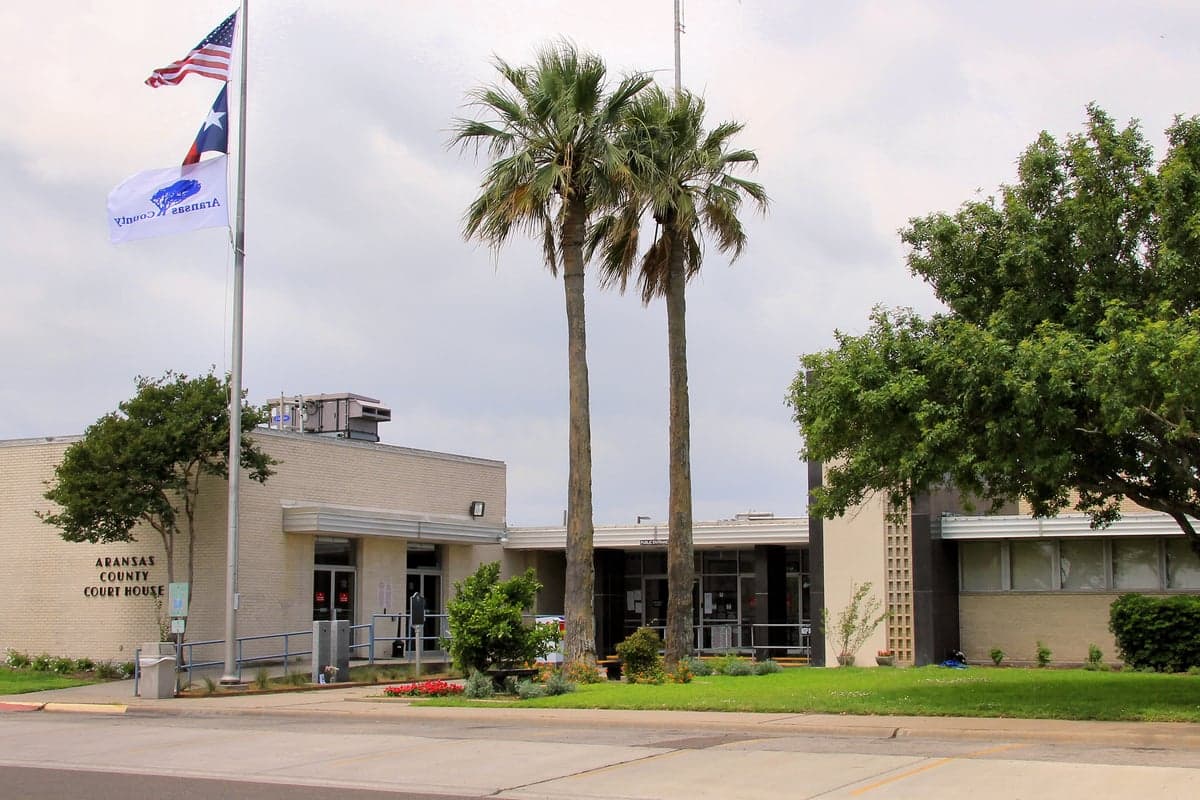
Photo: Wikipedia
Strategic Assessment of Aransas County
Meaningful friction. Expect exposure to either population pressure, blast zones, or natural disaster risk. Consider buying a retreat property.
What does the Strategic Assessment tell us?
Our Strategic Assessment grades tactical survivability of an area. Major population centers, military targets, fallout zones, natural disasters, and border exposure all drive risk — lower exposure means a more defensible position in a crisis.
This is heavily inspired by Joel Skousen's Strategic Relocation book. Highly recommended you checkout the book ($)What does this tell us?
Our Strategic Assessment grades tactical survivability of an area. Major population centers, military targets, fallout zones, natural disasters, and border exposure all drive risk — lower exposure means a more defensible position in a crisis.
This is heavily inspired by Joel Skousen's Strategic Relocation book. Highly recommended you checkout the book ($)Strategic Pillars

Key Distances
Strategic Assessment Analysis
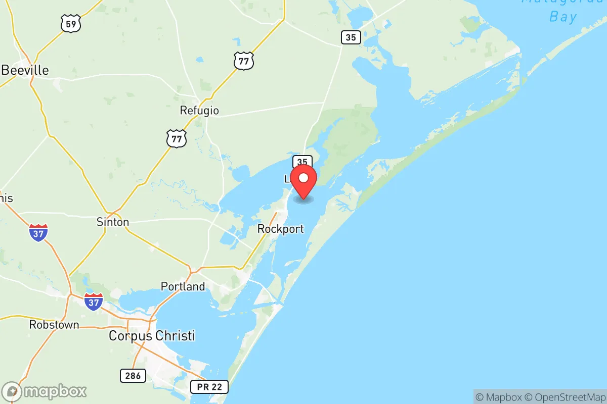
Aransas County, Texas, offers a distinctive strategic position for relocators prioritizing disaster readiness and self-sufficiency, balancing coastal access with inland buffer zones. Located along the Gulf Coast about 30 miles north of Corpus Christi and 150 miles southwest of Houston, the county’s primary population centers—Rockport, Fulton, and the unincorporated area of Lamar—sit on the Aransas Bay, providing maritime resources while maintaining a low population density of roughly 25 people per square mile. This combination of coastal utility and relative isolation makes it a viable option for those seeking a resilient base, though its exposure to natural and man-made risks demands careful consideration.
Geographic position and natural advantages for self-sufficiency
Aransas County’s geography provides several natural advantages for a self-sufficient lifestyle. The county is situated on the Texas Coastal Bend, a region characterized by flat, fertile plains and extensive wetlands, including the Aransas National Wildlife Refuge to the north and the Copano Bay to the west. This terrain supports abundant freshwater sources—primarily from the Mission River and Copano Creek—and fertile soil suitable for small-scale agriculture, with the local growing season lasting nearly 300 days annually. The county’s position along the Intracoastal Waterway offers direct water access for fishing, transportation, and potential trade, while the nearby Port of Aransas (just south in Nueces County) provides a logistical hub for supplies. The area’s low elevation, averaging 10 to 20 feet above sea level, is a trade-off: it facilitates groundwater access via shallow wells (typical depths of 50–100 feet) but increases flood risk. For a relocator, the key advantage is the ability to tap into natural resources—fish from the bay, game from the refuge, and water from the aquifer—without relying heavily on external supply chains.
Risks, exposures, and proximity to fallout-relevant landmarks
The county’s resilience is tempered by significant natural and man-made risks. Hurricane exposure is the primary threat: Aransas County was devastated by Hurricane Harvey in 2017, which made landfall as a Category 4 storm near Rockport, causing widespread structural damage and a months-long recovery. The region averages a hurricane or tropical storm impact every 3–5 years, with storm surge risks along the entire coastline. Flooding from heavy rainfall is also common, particularly in low-lying areas like Fulton and Lamar. Beyond weather, the county’s proximity to industrial and military infrastructure introduces man-made risks. The Corpus Christi refinery corridor, located 25 miles south, includes the Flint Hills Resources and Valero refineries, which process over 300,000 barrels of oil daily—a potential target for disruption or accident. The Naval Air Station Corpus Christi, a major training base for the U.S. Navy, lies 30 miles south, while the Ingleside Naval Station (now a port facility) is 20 miles southwest. To the north, the San Antonio metropolitan area (120 miles away) hosts Joint Base San Antonio, a major military hub. While these sites are not immediate fallout zones, their proximity means that a major event—whether natural disaster or industrial incident—could disrupt supply lines or require evacuation. The county’s lack of a major interstate highway (U.S. Highway 35 is the primary route) limits evacuation capacity, with only two main roads out: Highway 35 north to Victoria and Highway 77 west to Corpus Christi.
Practical resilience for a relocator: food, water, energy, and defensibility
For a relocator focused on practical resilience, Aransas County offers a mixed picture. Food security is strong: the county’s coastal waters provide year-round fishing for redfish, speckled trout, and shrimp, while the fertile soil supports home gardens and small livestock operations. Local farmers’ markets in Rockport and Fulton offer fresh produce, and the area’s mild climate allows for extended growing seasons. Water access is reliable via shallow wells, though the aquifer is brackish in some areas, requiring filtration or reverse osmosis systems for drinking water. The county’s water utility, Aransas County Water District, provides treated surface water from the Guadalupe River, but a self-sufficient setup would need a well and a rainwater catchment system—feasible given the region’s 35 inches of annual rainfall. Energy independence is achievable: the area has high solar potential (average 5.5 peak sun hours per day), and wind speeds (12–15 mph average) support small wind turbines. However, the grid is vulnerable to hurricane-related outages, as seen in 2017 when some areas were without power for weeks. Backup generators or off-grid solar-plus-battery systems are advisable. Defensibility is moderate: the county’s low population density and rural character provide natural isolation, but its flat terrain offers little cover, and the coastal location makes it a potential evacuation corridor during emergencies. The local law enforcement presence is limited—the Aransas County Sheriff’s Office has about 30 deputies for a population of 24,000—so community-based security measures, such as neighborhood watch or private security, are common among relocators.
Overall, Aransas County presents a viable but high-risk strategic option for disaster-ready relocators. Its natural resources—water, fertile land, and coastal access—support a self-sufficient lifestyle, and its distance from major urban centers like Houston and San Antonio reduces exposure to large-scale fallout scenarios. However, the constant threat of hurricanes, combined with proximity to industrial and military infrastructure, requires robust preparedness: a well-stocked emergency kit, a reliable evacuation plan, and a resilient home setup (elevated construction, storm shutters, and backup power). For a family or individual willing to invest in these measures, the county offers a balanced mix of isolation and resource availability, making it a defensible base for long-term resilience. The key is to treat it as a strategic outpost—not a fortress—where adaptability and local knowledge are the primary assets.

* Values derived from national, state, county, city and local statistics and may differ in a specific area. Last updated: 2026-10-16T15:12:52.000Z
Narrative content on this page is AI-generated and may contain mistakes. Verify any details that matter before acting on them.
ReloMaps may earn a commission from affiliate links at no extra cost to you.

