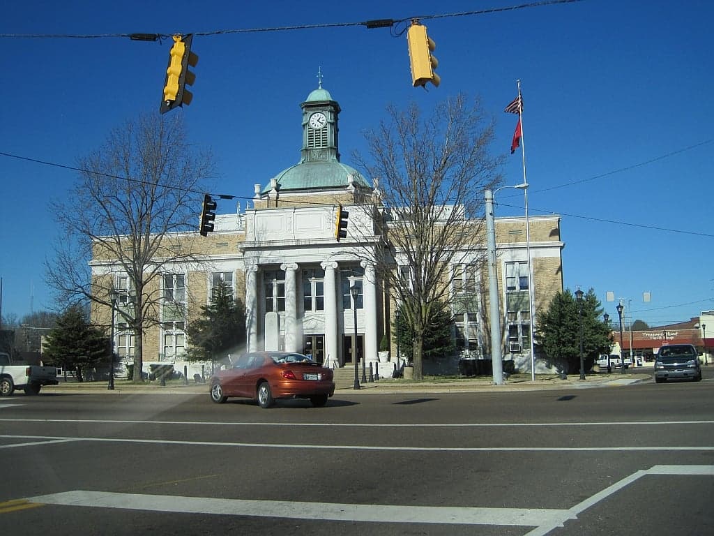
Photo: Wikipedia
Strategic Assessment of Fayette County
Workable tactical position. Some exposure to population density or targets, but generally defensible in a crisis.
What does the Strategic Assessment tell us?
Our Strategic Assessment grades tactical survivability of an area. Major population centers, military targets, fallout zones, natural disasters, and border exposure all drive risk — lower exposure means a more defensible position in a crisis.
This is heavily inspired by Joel Skousen's Strategic Relocation book. Highly recommended you checkout the book ($)What does this tell us?
Our Strategic Assessment grades tactical survivability of an area. Major population centers, military targets, fallout zones, natural disasters, and border exposure all drive risk — lower exposure means a more defensible position in a crisis.
This is heavily inspired by Joel Skousen's Strategic Relocation book. Highly recommended you checkout the book ($)Strategic Pillars

Key Distances
Strategic Assessment Analysis
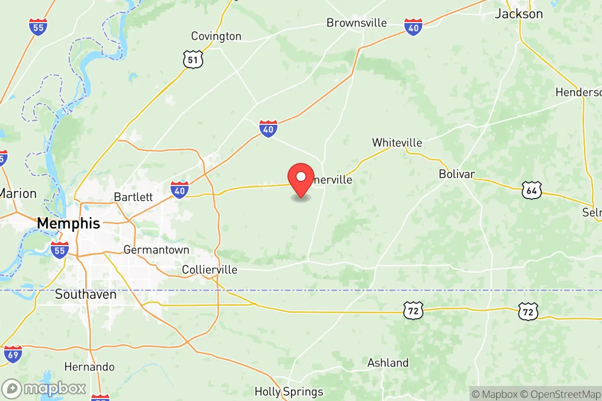
Fayette County, Tennessee, offers a compelling strategic position for relocation-minded readers prioritizing resilience and self-sufficiency, blending rural buffer with practical access to regional resources. Located roughly 40 miles east of Memphis and 30 miles west of the Tennessee River, the county sits in a sweet spot: close enough to a major metropolitan area for supply runs and medical care, but far enough to avoid the immediate fallout risks associated with dense urban centers. Its rolling hills, clay-based soils, and low population density (around 42,000 residents spread over 706 square miles) provide a defensible, resource-rich environment that has historically flown under the radar of major disaster planners.
Geographic position and natural advantages for long-term stability
Fayette County’s geography is defined by the Loess Bluffs—wind-deposited silt hills that rise 50–100 feet above the surrounding floodplains, offering natural drainage and elevated building sites. This terrain, running through towns like Somerville (the county seat) and Moscow, provides a significant advantage over the flat, flood-prone Mississippi Delta just to the west. The county sits entirely outside the 100-year floodplain for major rivers, though local creeks like the Wolf River and Loosahatchie River can swell during heavy rains. The area’s karst-free geology (no limestone caverns or sinkholes) means groundwater is more predictable and less vulnerable to contamination than in neighboring counties. For a relocator, this translates to reliable well water—most rural properties tap into the Memphis Sand Aquifer, one of the cleanest and most productive freshwater sources in the U.S., with an estimated 100 trillion gallons in storage. The county’s position also places it outside the primary tornado alley of the Mid-South; while severe weather occurs, Fayette sees fewer EF3+ tornadoes than areas 50 miles north or west, per NOAA storm data from 2000–2025.
Risk exposure, fallout proximity, and what to watch for
The primary man-made risk for Fayette County relocators is its proximity to Memphis’s industrial and transportation corridors. The city’s oil refineries (Valero’s Memphis Refinery, capacity 180,000 barrels/day) and chemical plants along Presidents Island lie 35–45 miles west—close enough that a major industrial accident or terrorist event could produce a toxic plume reaching eastern Fayette within 4–6 hours under prevailing westerly winds. The BNSF Railway mainline cuts through the county’s northern edge near Macon, carrying hazardous materials (chlorine, ammonia, crude oil) daily. A derailment or sabotage event here could contaminate local water tables or force evacuations. On the military side, Naval Support Activity Mid-South in Millington (25 miles northwest) is a logistics hub for the Navy, but its risk profile is low—no nuclear weapons or large ordnance storage. More concerning is the Memphis International Airport (40 miles west), a major FedEx hub handling 1.5 million tons of cargo annually; a targeted attack on this facility could disrupt supply chains for weeks. For a reader focused on fallout from a nuclear event, Fayette County’s distance from Memphis (40+ miles) provides a survivable buffer—fallout from a 10-kiloton ground burst would drop to safe levels (under 1 rem/hr) within 24 hours at that range, per NUKEMAP simulations. However, the county’s lack of designated fallout shelters (only two public shelters listed in FEMA’s 2024 registry) means relocators must prepare their own basement or shielded space.
Practical resilience for a relocator: food, water, energy, and defensibility
Fayette County’s agricultural base makes it a strong candidate for long-term self-sufficiency. The county has over 1,200 farms covering 60% of its land area, producing soybeans, corn, cotton, and hay. For a relocator, this means local food sourcing is viable—the Somerville Farmers Market operates year-round, and several u-pick orchards (like Bishop’s Orchard near Moscow) offer fruit and vegetables. Water resilience is excellent: the Memphis Sand Aquifer lies 300–500 feet deep, and private wells in Fayette County typically yield 20–50 gallons per minute with minimal treatment. The county’s rural water districts (Fayette County Public Utility District, Somerville Water Department) rely on surface water from the Wolf River, which is more vulnerable to contamination; a relocator should budget $5,000–$8,000 for a drilled well and hand pump. Energy-wise, the county is served by Fayette-Shelby Electric Cooperative, a member-owned utility with a 99.9% reliability record (2023 data). However, the grid is exposed: a single substation near Oakland feeds 40% of the county, making it a single point of failure. Solar potential is moderate—the area averages 4.5 peak sun hours per day, enough for a 5kW system to cover a typical household’s baseline needs. For defensibility, the county’s low population density (60 people per square mile) and limited road network (only two four-lane highways: US-64 and TN-57) create natural chokepoints. A relocator on a 10+ acre parcel with a gravel driveway and tree line can achieve significant operational security. The Ames Plantation (18,000 acres of managed forest near Grand Junction) offers a model for long-term timber and game management—deer, turkey, and wild hog populations are robust.
The overall strategic picture for Fayette County is one of balanced resilience with manageable trade-offs. It avoids the catastrophic risks of coastal zones (hurricanes, sea-level rise) and the high-density vulnerabilities of Memphis or Nashville, while retaining access to regional medical care (Baptist Memorial Hospital in Somerville, level 3 trauma center) and supply chains (Memphis is 40 minutes away). The county’s conservative governance (county commission with 13 members, all Republican as of 2025) and low property taxes ($0.62 per $100 assessed value) align with the priorities of a self-reliant relocator. The main downsides are the lack of robust emergency services (volunteer fire departments cover most areas, with response times of 15–25 minutes in rural zones) and the proximity to Memphis’s industrial risks, which require a proactive sheltering plan. For a family or individual willing to invest in a well, solar panels, and a reinforced safe room, Fayette County offers a defensible, resource-rich base that balances isolation with practical access—a rare combination in the Mid-South.

* Values derived from national, state, county, city and local statistics and may differ in a specific area. Last updated: 2026-10-24T03:12:37.000Z
Narrative content on this page is AI-generated and may contain mistakes. Verify any details that matter before acting on them.
ReloMaps may earn a commission from affiliate links at no extra cost to you.

