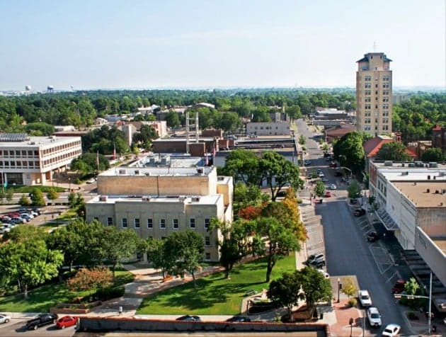
Photo: Wikipedia
Strategic Assessment of Temple, TX
Meaningful friction. Expect exposure to either population pressure, blast zones, or natural disaster risk. Consider buying a retreat property.
What does the Strategic Assessment tell us?
Our Strategic Assessment grades tactical survivability of an area. Major population centers, military targets, fallout zones, natural disasters, and border exposure all drive risk — lower exposure means a more defensible position in a crisis.
This is heavily inspired by Joel Skousen's Strategic Relocation book. Highly recommended you checkout the book ($)What does this tell us?
Our Strategic Assessment grades tactical survivability of an area. Major population centers, military targets, fallout zones, natural disasters, and border exposure all drive risk — lower exposure means a more defensible position in a crisis.
This is heavily inspired by Joel Skousen's Strategic Relocation book. Highly recommended you checkout the book ($)Strategic Pillars

Key Distances
Regional Safe Places
Below is our recommended "safe zones" in Texas and the surrounding area based on our strategic heuristics. For most people, it's unrealistic to live in a “safe zone” full-time due to work, family or other personal reasons. They tend to be more rural. However, many of these areas are perfect for second homes and retreat properties that double as a vacation home or even a short-term rental.


Important Note: For informational purposes only. This does not mean nothing bad ever happens in the green zones. Please use common sense. This is based on public data and modeled with AI. We tried to take a conservative approach but mistakes happen. We update this regularly as new information becomes available.
Solar Generator Recommendations
Backup power matters more here than in safer locations. We've picked three solar generators across budgets and capacity tiers — start with the budget unit if you only need a few essentials, or step up if you want to run a fridge and HVAC for days at a time.

Jackery Portable Power Station Explorer 300
Budget OptionPower on the Go: Weighing only 11 lbs, it's convenient to set up and store with book-sized foldable solar panels

BLUETTI Portable Power Station AC180
Designed for both indoor and outdoor scenarios, AC180 is highly capable as it has a robost capacity and continuous output power.

EF ECOFLOW DELTA Pro Ultra Power Station
Upgraded PickEcoFlow DELTA Pro Ultra is a whole-home energy system designed to grow with your family. Integrated with the Smart Home Panel 2, it scales to meet your evolving energy needs — keeping your home powered, intelligent, and secure through every stage of life.
We earn a commission, at no additional cost to you.
Strategic Assessment Analysis
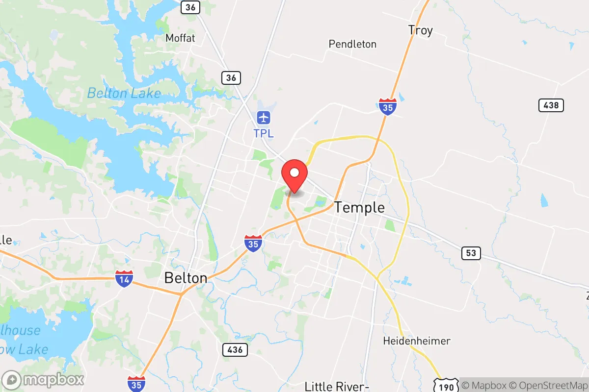
Temple, Texas, occupies a strategic position in the state’s central corridor that offers a blend of geographic insulation and logistical connectivity, making it a noteworthy option for those prioritizing resilience and self-sufficiency. Situated roughly halfway between Austin and Waco along Interstate 35, the city benefits from being far enough from major metropolitan centers to avoid their immediate vulnerabilities—such as dense population targets and concentrated infrastructure—while still maintaining access to their resources when needed. The area’s steady population growth, anchored by a diversified economy including healthcare, manufacturing, and education, suggests a community that has weathered economic and environmental shocks without the boom-and-bust cycles seen in more resource-dependent regions. For a relocator assessing long-term stability, Temple presents a case of moderate but genuine resilience, grounded in its location away from coastlines, fault lines, and primary fallout zones, though not without its own set of calculated risks.
Geographic position and natural advantages for disaster readiness
Temple’s location in Central Texas places it in a region with several inherent geographic advantages for those focused on preparedness. The city sits on the eastern edge of the Edwards Plateau, a limestone-rich area that provides relatively stable geology—no significant earthquake risk and minimal subsidence compared to Gulf Coast or West Texas areas. The terrain is gently rolling, offering natural drainage that reduces flood risk in most neighborhoods, though low-lying areas near the Leon River and its tributaries can see flash flooding during heavy rain events. The climate is humid subtropical, meaning hot summers and mild winters, which reduces the need for extreme heating or cooling infrastructure failures; however, the region is prone to severe thunderstorms, hail, and occasional tornadoes, with the average tornado risk being moderate but not extreme by Texas standards. The area’s water supply is a genuine asset: Temple draws from the Edwards Aquifer and the Brazos River basin, both of which are relatively reliable compared to West Texas aquifers, and the city maintains a robust water treatment system. For a relocator, the key takeaway is that Temple avoids the most acute natural threats—hurricanes, wildfires (though grassland fires are possible), and seismic activity—while offering a climate that supports year-round gardening and livestock if one chooses to pursue self-sufficiency on a small acreage.
Risks, exposures, and proximity to fallout-relevant landmarks
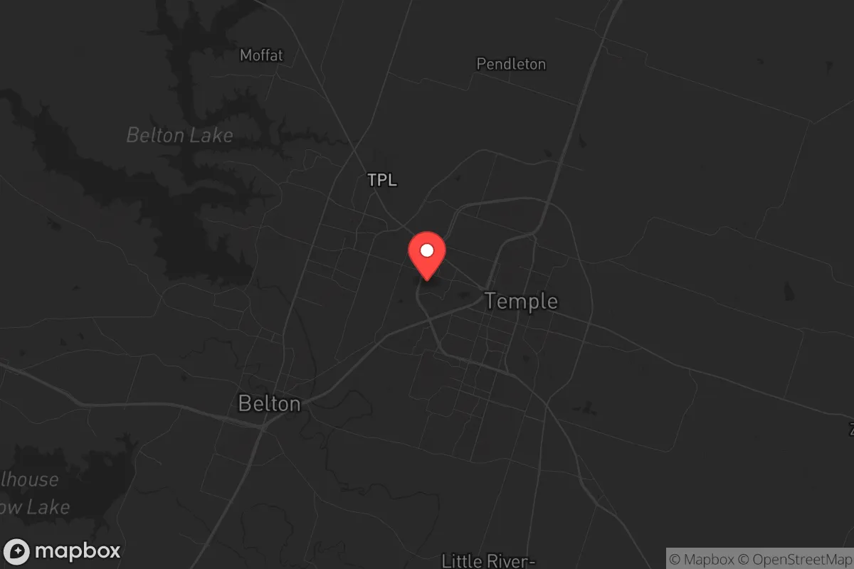
No location is without vulnerabilities, and Temple’s risks are primarily tied to its position within a broader infrastructure network that could become a liability in a major crisis. The most significant concern for a resilience-minded relocator is the city’s proximity to Interstate 35, a major north-south corridor that connects the Dallas-Fort Worth metroplex to San Antonio and the border. In a scenario involving a large-scale evacuation or supply chain disruption, I-35 could become a chokepoint or a vector for population movement, potentially drawing displaced individuals into the area. Temple is also roughly 60 miles from Fort Hood (now Fort Cavazos), one of the largest military installations in the world, which could be a target in a conflict scenario or a source of sudden population shifts during a domestic emergency. Additionally, the city lies within 100 miles of the South Texas Nuclear Project (STP) near Bay City, a two-unit nuclear power plant that, while well-regulated, represents a potential fallout risk if an accident or attack occurred. The prevailing wind patterns in Central Texas generally blow from the south and southeast, meaning that a release from STP could carry contamination toward the Temple area, though the distance provides some dilution. On a more mundane level, Temple’s industrial base includes a large cement plant and chemical storage facilities along the rail lines, which pose localized hazards but are not catastrophic in scale. For the relocator, these risks are manageable with basic preparedness—having a go-bag, a vehicle with a full tank, and a plan to head north or west if needed—but they are real enough to factor into a decision.
Practical resilience for a relocator: food, water, energy, and defensibility
When evaluating Temple’s practical resilience—the ability to sustain daily life during a prolonged disruption—the city offers a mixed but generally favorable picture. Food security is bolstered by the surrounding agricultural region, which includes cattle ranches, poultry farms, and row crops like corn and cotton. The local farmers’ market and a growing number of small-scale producers mean that fresh food is accessible even without a large grocery chain, though reliance on the national supply chain is still the norm. For those looking to grow their own food, the growing season is long (roughly 240 days), and the soil in the area is a mix of clay and loam that can be amended for vegetable gardens. Water availability is a strong point: the city’s municipal supply is drawn from the Edwards Aquifer, which has historically been reliable, and many rural properties in Bell County have access to private wells. However, the aquifer is subject to drought cycles, and the region has experienced moderate drought conditions in recent years, so rainwater catchment systems are a wise investment. Energy resilience is more of a concern. Temple is served by the Electric Reliability Council of Texas (ERCOT), which has a well-documented history of grid instability during extreme weather events, most notably the 2021 winter storm. While the city has its own municipal utility, Temple Utilities, which provides some local control, the grid is still interconnected with the broader ERCOT system. Solar panels with battery storage are a practical addition for those who can afford them, and natural gas generators are common in the area. Defensibility is a nuanced topic. Temple itself is a suburban city with a population of about 85,000, meaning it lacks the natural chokepoints or remote isolation of a mountain town. However, the surrounding unincorporated areas of Bell County offer properties with acreage, tree cover, and limited road access, which can be more defensible. The local law enforcement presence is adequate, and the community has a strong sense of neighborly cooperation, but in a prolonged crisis, rural properties outside the city limits would likely fare better than suburban subdivisions.
The overall strategic picture for Temple, Texas, is one of moderate resilience with clear trade-offs. It is not a remote bunker location, nor is it a high-risk urban center; it sits in a middle ground that rewards preparation and common sense. The city’s geographic advantages—stable geology, reliable water, and a climate conducive to self-sufficiency—are genuine assets, while its proximity to major highways, a military base, and a nuclear plant introduces risks that can be mitigated but not eliminated. For a relocator who is serious about disaster readiness but also wants access to jobs, healthcare, and community amenities, Temple offers a viable balance. The key is to approach it with eyes open: invest in backup power, secure a water source, and choose a property with some buffer from the main roads. In a world where no place is truly safe, Temple provides a defensible position that is neither naive nor paranoid—just practical.
* Values derived from national, state, county, city and local statistics and may differ in a specific area. Last updated: 2026-07-20T01:55:26.000Z
Narrative content on this page is AI-generated and may contain mistakes. Verify any details that matter before acting on them.
ReloMaps may earn a commission from affiliate links at no extra cost to you.