
Photo: Wikipedia
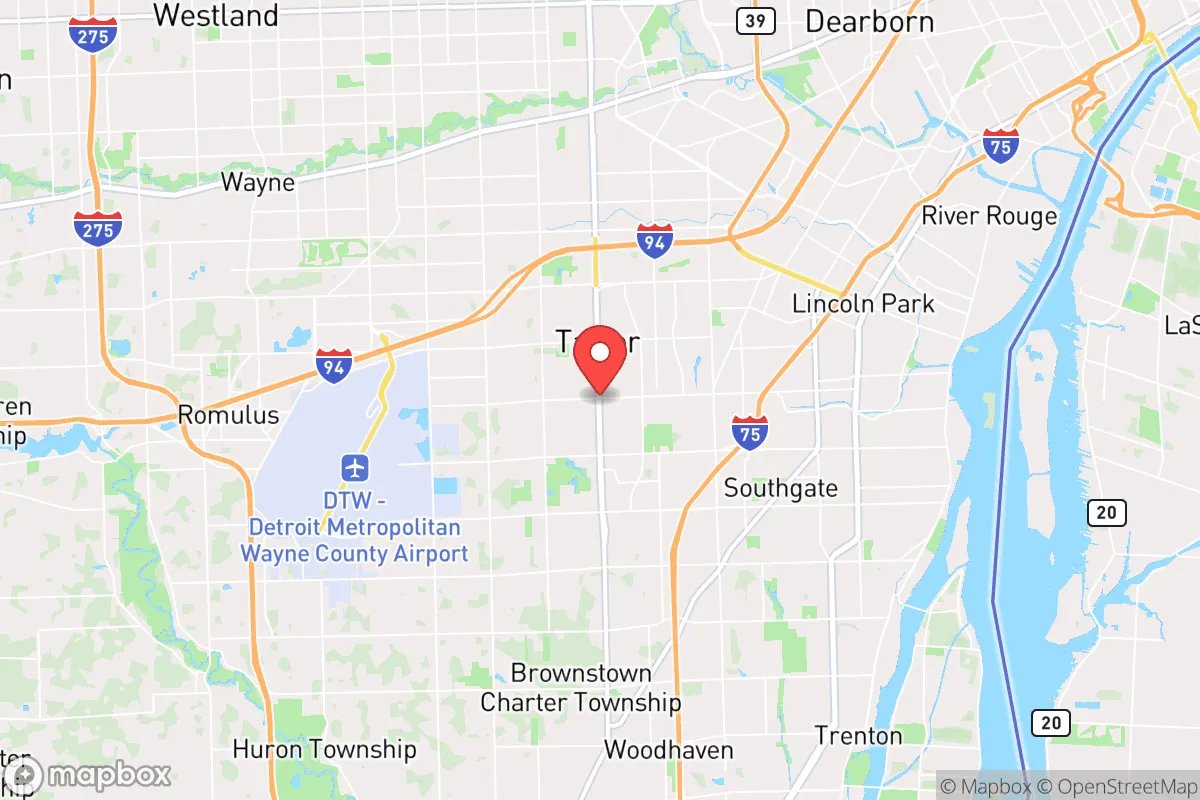
Strategic Assessment of Taylor, MI
Multiple tactical vulnerabilities. Population density, target proximity, or disaster risk are likely compounding. A retreat property and exit planning is required.
What does the Strategic Assessment tell us?
Our Strategic Assessment grades tactical survivability of an area. Major population centers, military targets, fallout zones, natural disasters, and border exposure all drive risk — lower exposure means a more defensible position in a crisis.
This is heavily inspired by Joel Skousen's Strategic Relocation book. Highly recommended you checkout the book ($)What does this tell us?
Our Strategic Assessment grades tactical survivability of an area. Major population centers, military targets, fallout zones, natural disasters, and border exposure all drive risk — lower exposure means a more defensible position in a crisis.
This is heavily inspired by Joel Skousen's Strategic Relocation book. Highly recommended you checkout the book ($)Strategic Pillars

Key Distances
Regional Safe Places
Below is our recommended "safe zones" in Michigan and the surrounding area based on our strategic heuristics. For most people, it's unrealistic to live in a “safe zone” full-time due to work, family or other personal reasons. They tend to be more rural. However, many of these areas are perfect for second homes and retreat properties that double as a vacation home or even a short-term rental.


Important Note: For informational purposes only. This does not mean nothing bad ever happens in the green zones. Please use common sense. This is based on public data and modeled with AI. We tried to take a conservative approach but mistakes happen. We update this regularly as new information becomes available.
Solar Generator Recommendations
Backup power matters more here than in safer locations. We've picked three solar generators across budgets and capacity tiers — start with the budget unit if you only need a few essentials, or step up if you want to run a fridge and HVAC for days at a time.

Jackery Portable Power Station Explorer 300
Budget OptionPower on the Go: Weighing only 11 lbs, it's convenient to set up and store with book-sized foldable solar panels

BLUETTI Portable Power Station AC180
Designed for both indoor and outdoor scenarios, AC180 is highly capable as it has a robost capacity and continuous output power.

EF ECOFLOW DELTA Pro Ultra Power Station
Upgraded PickEcoFlow DELTA Pro Ultra is a whole-home energy system designed to grow with your family. Integrated with the Smart Home Panel 2, it scales to meet your evolving energy needs — keeping your home powered, intelligent, and secure through every stage of life.
We earn a commission, at no additional cost to you.
Strategic Assessment Analysis
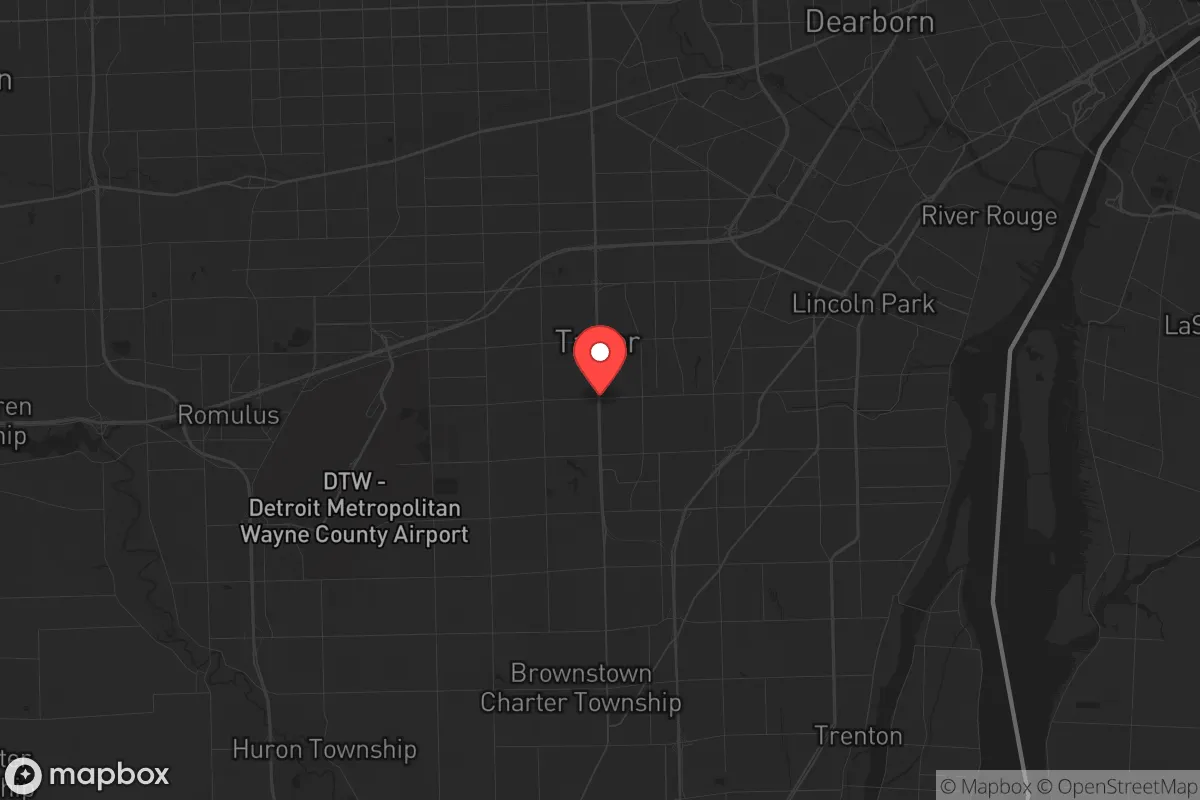
Taylor, Michigan, sits in a precarious strategic position that demands serious consideration for anyone prioritizing long-term resilience and self-sufficiency. Located just 18 miles southwest of Detroit and 12 miles north of the sprawling Downriver industrial corridor, this city of roughly 61,000 offers a mix of suburban convenience and proximity to critical infrastructure that cuts both ways for a prepper-minded relocator. The area’s flat terrain, access to major highways like I-94 and I-75, and its position within the Great Lakes water basin create a foundation for potential self-reliance, but the same factors also place it squarely in the path of any major disruption originating from Detroit or the region’s heavy industrial zones.
Geographic position and natural advantages for long-term survival
Taylor’s location within Wayne County gives it a few genuine geographic assets for a survival scenario. The city sits on relatively stable, flat land with no significant floodplains or seismic risks, which means building or retrofitting a home for defensibility is straightforward. The proximity to the Detroit River—roughly 10 miles east—provides a reliable, year-round freshwater source that could be tapped for drinking, irrigation, or sanitation if municipal systems fail. The river also connects to Lake Erie and the broader Great Lakes system, offering a potential escape route or supply chain via water if road networks become compromised. The area’s clay-heavy soil is less ideal for large-scale agriculture, but with raised beds and proper amendments, it can support vegetable gardens and small livestock. The region’s four-season climate, while harsh in winter, also reduces the risk of prolonged drought or wildfire—two threats that plague more arid parts of the country. For a relocator willing to invest in cold-weather gear and passive solar design, Taylor’s winters can be managed, and the summer growing season is long enough for a serious food-production effort.
Risks, exposures, and proximity to fallout-relevant landmarks
The downsides are substantial and cannot be glossed over. Taylor’s biggest vulnerability is its location in the shadow of Detroit, a major urban center that has already demonstrated fragility during the 1967 riots, the 2013 bankruptcy, and the 2020 civil unrest. In a mass casualty event or widespread civic breakdown, Detroit’s population of 670,000 would likely push outward along the same highways that make Taylor accessible. I-94 and I-75 are evacuation corridors that could quickly become choke points or avenues for looting and violence. Taylor is also ringed by heavy industrial infrastructure: the Zug Island steel plant and the Marathon Petroleum refinery in nearby Detroit are less than 15 miles away. A major accident, terrorist attack, or grid failure at either facility could release toxic clouds or trigger secondary explosions. The Fermi 2 nuclear plant in Monroe County is about 25 miles south—close enough that a meltdown or sabotage event would put Taylor in the plume zone, depending on wind direction. Additionally, the city’s flat, open terrain offers little natural cover or defensible high ground. A determined group could approach from multiple directions, and the lack of hills or dense forests makes it hard to establish a secure perimeter. For a relocator focused on avoiding fallout zones and high-risk targets, Taylor’s proximity to these landmarks is a serious red flag.
Practical resilience for a relocator: food, water, energy, and defensibility
On the practical side, Taylor offers a mixed bag for someone serious about self-sufficiency. The city’s water supply comes from the Detroit Water and Sewerage Department, which draws from the Detroit River. That’s a reliable source in normal times, but a grid-down or contamination event would cut off municipal water quickly. A prepper would need a backup plan: a well is possible, though groundwater in this part of Wayne County can be high in iron and sulfur, requiring filtration. Rainwater collection is viable, with an average of 33 inches of precipitation per year, but storage space and freeze protection are musts. Food resilience is more challenging. Taylor is a built-out suburb with limited agricultural land. The city’s zoning allows for backyard chickens and small gardens, but large-scale livestock or crop production would require acreage that’s scarce and expensive here. The nearest farmland is in Monroe County to the south or Washtenaw County to the west, both a 20- to 30-minute drive. For energy, the grid is reliable day-to-day but vulnerable to cascading failures from Detroit’s aging infrastructure. Solar panels are a viable option—Michigan gets about 4.5 peak sun hours per day in summer—but winter production drops significantly, and battery storage is essential. Natural gas is widely available, but a propane backup generator is a smarter bet for long-term independence. Defensibility is the weakest link. Most homes in Taylor are post-war ranches and colonials on small lots, with open sightlines from the street. A corner lot with a fenced backyard offers some security, but the lack of rural buffer means neighbors are close, and noise or light discipline is nearly impossible. For a relocator who values stealth and standoff distance, Taylor’s suburban density is a liability.
The overall strategic picture for Taylor, Michigan, is one of calculated trade-offs. It offers solid access to water, a stable climate, and proximity to the Great Lakes for long-term survival, but it sits too close to Detroit and heavy industrial targets for anyone prioritizing avoidance of urban collapse or industrial fallout. For a single individual or family willing to invest in robust home security, backup water and power systems, and a network of trusted neighbors, Taylor could serve as a base for the first few years of a crisis—especially if you’re willing to bug out to more rural areas in northern Michigan or the Upper Peninsula when things get hot. But for the serious prepper who wants to be far from the blast radius of a major city or refinery, Taylor is a staging ground, not a final destination. If you’re looking for a place to ride out the storm without constant worry about what’s coming down the highway or drifting in from the south, you’d be better served looking 60 miles west toward Jackson or 80 miles north toward the Thumb region. Taylor is a compromise—and in a survival scenario, compromises can cost you everything.
* Values derived from national, state, county, city and local statistics and may differ in a specific area. Last updated: 2026-04-24T20:05:59.000Z
Narrative content on this page is AI-generated and may contain mistakes. Verify any details that matter before acting on them.
ReloMaps may earn a commission from affiliate links at no extra cost to you.