Photo: Wikipedia
Strategic Assessment of Springboro, OH
Meaningful friction. Expect exposure to either population pressure, blast zones, or natural disaster risk. Consider buying a retreat property.
What does the Strategic Assessment tell us?
Our Strategic Assessment grades tactical survivability of an area. Major population centers, military targets, fallout zones, natural disasters, and border exposure all drive risk — lower exposure means a more defensible position in a crisis.
This is heavily inspired by Joel Skousen's Strategic Relocation book. Highly recommended you checkout the book ($)What does this tell us?
Our Strategic Assessment grades tactical survivability of an area. Major population centers, military targets, fallout zones, natural disasters, and border exposure all drive risk — lower exposure means a more defensible position in a crisis.
This is heavily inspired by Joel Skousen's Strategic Relocation book. Highly recommended you checkout the book ($)Strategic Pillars

Key Distances
Regional Safe Places
Below is our recommended "safe zones" in Ohio and the surrounding area based on our strategic heuristics. For most people, it's unrealistic to live in a “safe zone” full-time due to work, family or other personal reasons. They tend to be more rural. However, many of these areas are perfect for second homes and retreat properties that double as a vacation home or even a short-term rental.

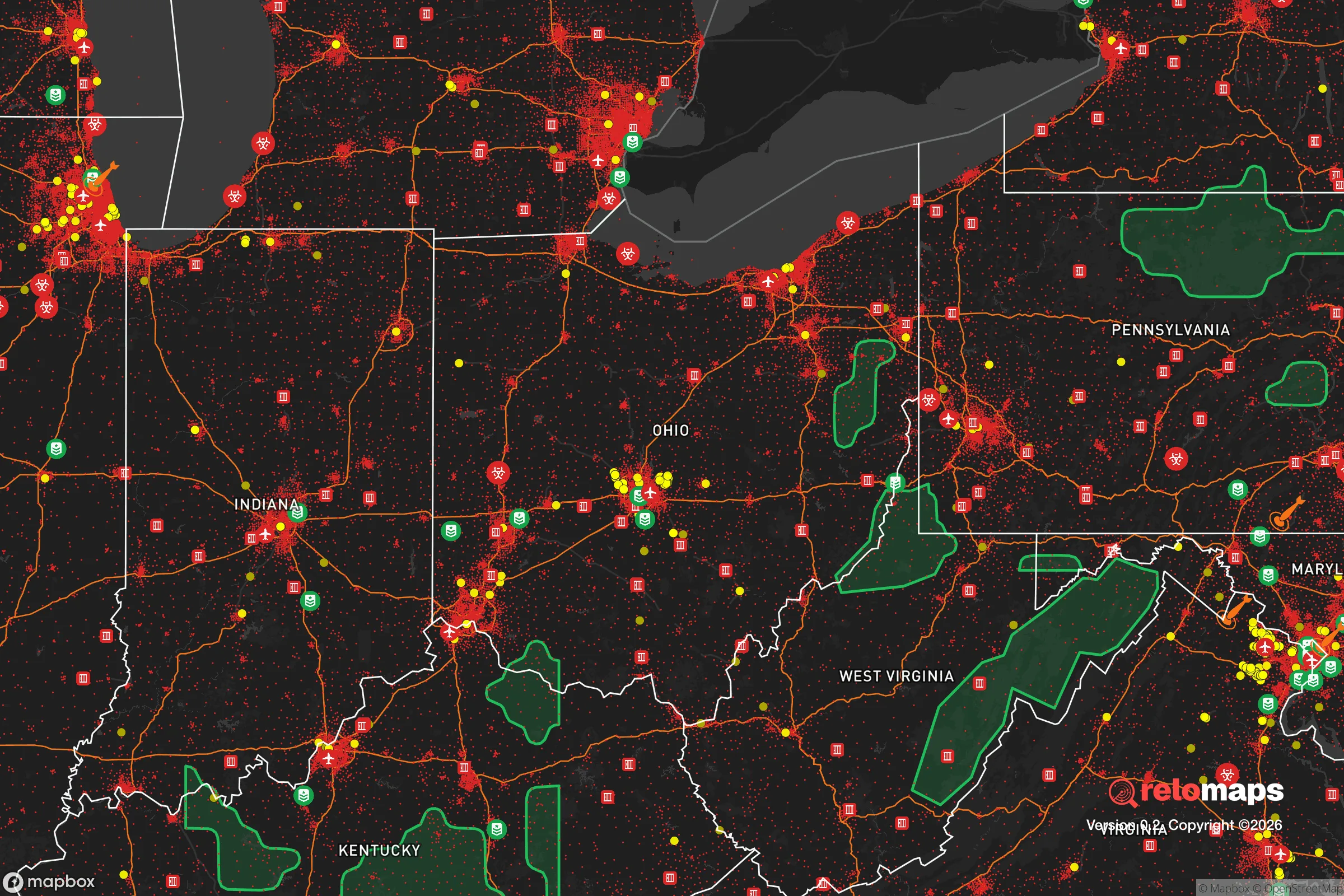


Important Note: For informational purposes only. This does not mean nothing bad ever happens in the green zones. Please use common sense. This is based on public data and modeled with AI. We tried to take a conservative approach but mistakes happen. We update this regularly as new information becomes available.
Solar Generator Recommendations
Backup power matters more here than in safer locations. We've picked three solar generators across budgets and capacity tiers — start with the budget unit if you only need a few essentials, or step up if you want to run a fridge and HVAC for days at a time.

Jackery Portable Power Station Explorer 300
Budget OptionPower on the Go: Weighing only 11 lbs, it's convenient to set up and store with book-sized foldable solar panels

BLUETTI Portable Power Station AC180
Designed for both indoor and outdoor scenarios, AC180 is highly capable as it has a robost capacity and continuous output power.

EF ECOFLOW DELTA Pro Ultra Power Station
Upgraded PickEcoFlow DELTA Pro Ultra is a whole-home energy system designed to grow with your family. Integrated with the Smart Home Panel 2, it scales to meet your evolving energy needs — keeping your home powered, intelligent, and secure through every stage of life.
We earn a commission, at no additional cost to you.
Strategic Assessment Analysis
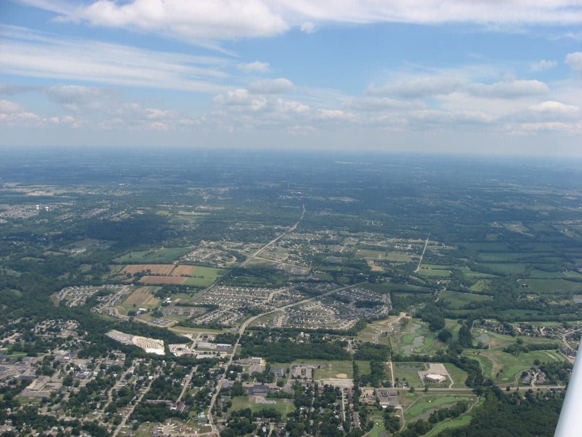
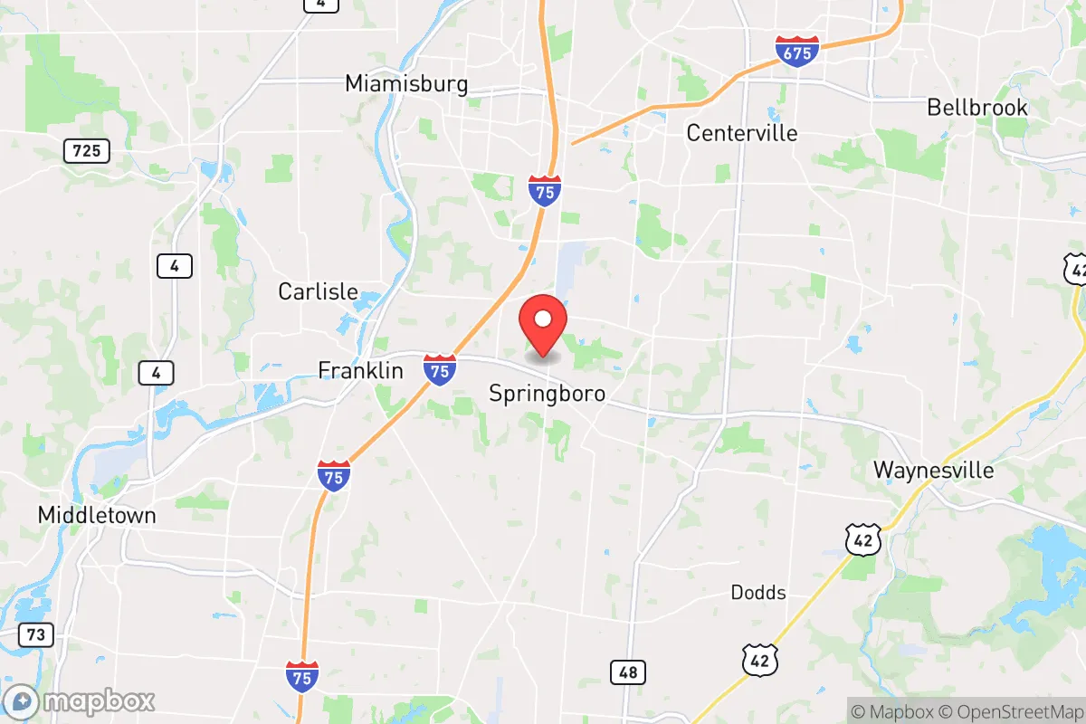
Springboro, Ohio, offers a compelling mix of Midwestern stability and strategic positioning that appeals to relocation-minded individuals and families with a conservative, self-reliant outlook. Located in the southwestern corner of the state, straddling Warren and Montgomery counties, the city sits roughly 25 miles south of Dayton and 30 miles northeast of Cincinnati, placing it in a sweet spot of accessibility without being swallowed by urban sprawl. Its resilience profile is anchored by a strong local economy, a growing population that has nearly doubled since 2000 to over 19,000 residents, and a geography that avoids the most acute natural disaster zones while presenting specific man-made risks that a prepared relocator must weigh carefully.
Geographic position and natural advantages for long-term stability
Springboro’s location within the Miami Valley provides several inherent advantages for those prioritizing disaster readiness. The region sits atop the Great Miami Aquifer, one of the most productive groundwater sources in the Midwest, which underpins local water security and reduces dependence on surface reservoirs that could be compromised by drought or contamination. The terrain is gently rolling, with elevations around 750 feet, offering natural drainage that mitigates flood risk compared to river-adjacent communities like Miamisburg or Franklin. The city is not in a designated floodplain, and the nearest major waterway, the Great Miami River, is several miles west. Tornado risk is present but moderate for Ohio—Warren County averages one tornado touchdown per 100 square miles every 10 years, a lower density than counties further west like Montgomery or Greene. The area’s continental climate means four distinct seasons, with average January lows around 22°F and July highs near 86°F, which supports year-round gardening and small-scale agriculture without the extremes of the Great Plains or the Gulf Coast. For a relocator seeking a base that can sustain a family through grid-down scenarios, the combination of reliable groundwater, moderate topography, and a growing season of roughly 170 days is a solid foundation.
Risks, exposures, and proximity to fallout-relevant landmarks
The most significant vulnerability for Springboro is its proximity to several high-value man-made targets that could become focal points during a major conflict or cascading infrastructure failure. The city lies within 30 miles of Wright-Patterson Air Force Base, the largest and most strategically important Air Force installation in the country, which houses the Air Force Materiel Command, the National Air and Space Intelligence Center, and the 445th Airlift Wing. In a peer-level conflict, Wright-Patterson is a probable first-strike target, and Springboro’s position downwind of prevailing westerlies places it in a potential fallout plume corridor. Additionally, the city is roughly 40 miles from the Fernald Preserve, a former uranium processing site that underwent a $4.4 billion Superfund cleanup but still contains buried waste and groundwater monitoring wells—a legacy contamination risk rather than an active one. On the industrial side, Springboro is near the I-75 corridor, a major logistics artery that could be a target for sabotage or disruption. The city itself has no nuclear power plants within 50 miles, but the Zimmer Nuclear Power Station in Moscow, Ohio, is about 55 miles southeast—close enough to be a concern for a worst-case release scenario. For a relocator, these risks are manageable with proper planning: a basement or interior safe room for fallout, a well-stocked first-aid kit for radiation exposure, and a pre-planned evacuation route east or south away from the Dayton metro area. The natural disaster risk is lower than the man-made one, with the main threats being severe thunderstorms, occasional derechos, and winter ice storms that can knock out power for 3-5 days.
Practical resilience for a relocator: food, water, energy, and defensibility
Springboro’s practical resilience for a self-sufficient household is above average for a suburban community, though it requires active effort to leverage. The city’s water supply is drawn from the Great Miami Aquifer via the Warren County Water and Sewer Department, which operates multiple wells and a treatment plant with backup generators. For a relocator, this means municipal water is relatively reliable, but a deep well hand pump or rainwater catchment system is a wise investment given the aquifer’s accessibility—many rural properties just outside city limits have private wells at depths of 50-100 feet. Food security is supported by a strong local agricultural base: Warren County has over 600 farms, and the Springboro Farmers Market operates from May through October, offering produce, meat, and eggs from nearby producers. The city’s zoning allows for backyard chickens and small livestock on lots of one acre or more, and community gardens are permitted in residential areas. For energy, the local grid is served by Duke Energy Ohio, which has a mixed reliability record—average outage duration is about 90 minutes per year, but major storms can cause multi-day blackouts. Solar is a viable option, with the region averaging 4.2 peak sun hours per day, and net metering is available through Duke. Defensibility is a mixed picture: Springboro is a typical suburban grid layout with cul-de-sacs and arterial roads, which makes it easy to navigate but also easy to approach. The city’s police department has 30 sworn officers and a response time of under 5 minutes for emergencies, but in a prolonged crisis, the population density of roughly 1,200 people per square mile means that resource competition could escalate quickly. The best strategy for a relocator is to secure a property on the eastern or southern fringe of the city, closer to the rural townships of Clearcreek and Washington, where larger lots, lower density, and better access to farmland and alternative water sources provide a more defensible posture.
The overall strategic picture for Springboro is one of calculated trade-offs. It offers genuine advantages in water security, agricultural access, and a stable, growing community with a conservative ethos that values preparedness—the city has a strong network of church-based disaster response teams and a local chapter of the Civil Air Patrol. The proximity to Wright-Patterson and the I-75 corridor introduces a non-trivial risk profile that demands a serious plan for evacuation or sheltering, but this is offset by the area’s robust infrastructure, low natural disaster frequency, and the ability to tap into a deep aquifer. For a family or individual who is willing to invest in a basement safe room, a backup water system, and a few acres of land on the outskirts, Springboro represents a solid B+ location for long-term resilience—not a remote bunker, but a practical, community-oriented base that balances access to urban resources with the capacity for self-sufficiency. The key is to treat the city as a hub, not a fortress: build relationships with local farmers, join the county emergency management volunteer program, and keep a vehicle fueled and packed for a 100-mile relocation if the threat environment shifts. Done right, Springboro can be a launchpad for a resilient life, not just a place to wait out a crisis.

* Values derived from national, state, county, city and local statistics and may differ in a specific area. Last updated: 2026-09-18T05:28:41.000Z
Narrative content on this page is AI-generated and may contain mistakes. Verify any details that matter before acting on them.
ReloMaps may earn a commission from affiliate links at no extra cost to you.

