Photo: Wikipedia
Strategic Assessment of South Riding, VA
Meaningful friction. Expect exposure to either population pressure, blast zones, or natural disaster risk. Consider buying a retreat property.
What does the Strategic Assessment tell us?
Our Strategic Assessment grades tactical survivability of an area. Major population centers, military targets, fallout zones, natural disasters, and border exposure all drive risk — lower exposure means a more defensible position in a crisis.
This is heavily inspired by Joel Skousen's Strategic Relocation book. Highly recommended you checkout the book ($)What does this tell us?
Our Strategic Assessment grades tactical survivability of an area. Major population centers, military targets, fallout zones, natural disasters, and border exposure all drive risk — lower exposure means a more defensible position in a crisis.
This is heavily inspired by Joel Skousen's Strategic Relocation book. Highly recommended you checkout the book ($)Strategic Pillars

Key Distances
Regional Safe Places
Below is our recommended "safe zones" in Virginia and the surrounding area based on our strategic heuristics. For most people, it's unrealistic to live in a “safe zone” full-time due to work, family or other personal reasons. They tend to be more rural. However, many of these areas are perfect for second homes and retreat properties that double as a vacation home or even a short-term rental.




Important Note: For informational purposes only. This does not mean nothing bad ever happens in the green zones. Please use common sense. This is based on public data and modeled with AI. We tried to take a conservative approach but mistakes happen. We update this regularly as new information becomes available.
Solar Generator Recommendations
Backup power matters more here than in safer locations. We've picked three solar generators across budgets and capacity tiers — start with the budget unit if you only need a few essentials, or step up if you want to run a fridge and HVAC for days at a time.

Jackery Portable Power Station Explorer 300
Budget OptionPower on the Go: Weighing only 11 lbs, it's convenient to set up and store with book-sized foldable solar panels

BLUETTI Portable Power Station AC180
Designed for both indoor and outdoor scenarios, AC180 is highly capable as it has a robost capacity and continuous output power.

EF ECOFLOW DELTA Pro Ultra Power Station
Upgraded PickEcoFlow DELTA Pro Ultra is a whole-home energy system designed to grow with your family. Integrated with the Smart Home Panel 2, it scales to meet your evolving energy needs — keeping your home powered, intelligent, and secure through every stage of life.
We earn a commission, at no additional cost to you.
Strategic Assessment Analysis
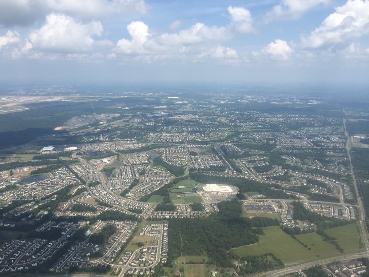
South Riding, Virginia, presents a mixed strategic picture for the relocation-minded reader focused on resilience and self-sufficiency. Its primary advantage is its location in the outer ring of the Washington, D.C. exurbs, offering a buffer from the immediate chaos of a major metropolitan collapse while still being close enough to be affected by its gravitational pull. The area’s rapid growth since the early 2000s has created a modern infrastructure, but this same development has consumed much of the open land that would traditionally support a self-sufficient lifestyle, making it a location that demands careful planning rather than offering inherent advantages.
Geographic position and natural advantages for long-term stability
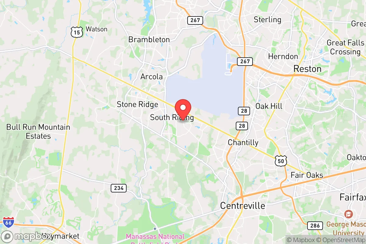
South Riding sits in Loudoun County, roughly 35 miles west of Washington, D.C., placing it in the Piedmont region where the rolling hills begin to rise toward the Blue Ridge Mountains. This position offers a few genuine geographic benefits. The area is well inland, eliminating any risk from storm surge or sea-level rise that plagues coastal Virginia. The elevation, averaging around 300-400 feet, provides natural drainage and reduces flood risk compared to low-lying areas near the Potomac River. The underlying geology is primarily sedimentary rock and clay, which supports stable foundations for structures and wells. The climate is temperate, with four distinct seasons, a reliable growing season of roughly 180 days, and average annual rainfall of about 40 inches—enough to support rain-fed gardens and small-scale agriculture without relying on irrigation from stressed municipal systems. The proximity to the Bull Run Mountains and the larger Blue Ridge range to the west offers potential retreat options and natural barriers against eastward-moving threats, though these are not immediately adjacent to South Riding itself.
Risks, exposures, and proximity to fallout-relevant landmarks
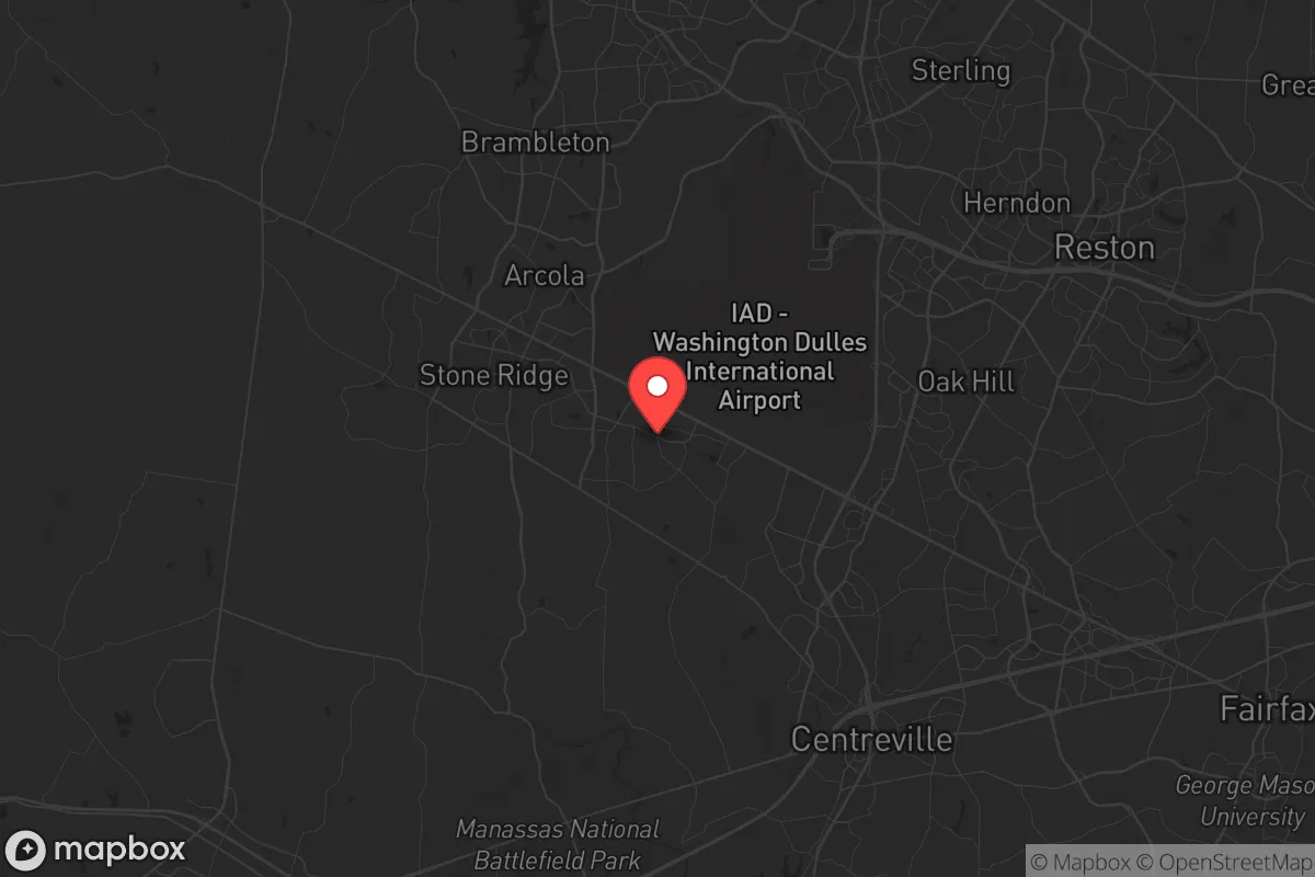
The most significant strategic liability for South Riding is its proximity to Washington, D.C., and the dense suburban corridor that connects them. In any scenario involving a major man-made disaster—whether a terrorist attack, a grid-down electromagnetic pulse event, or a conventional military strike—the D.C. metro area is a high-priority target. South Riding lies within the fallout zone for any ground-level detonation in the District, and the prevailing westerly winds would carry radioactive debris directly over the area. Beyond nuclear threats, the area is also within the blast radius of any major industrial accident at the Dulles International Airport (12 miles east) or the numerous data centers that now dominate Loudoun County’s landscape. These data centers, while economically vital, contain large quantities of diesel fuel for backup generators and high-voltage electrical equipment that could pose fire and chemical hazards. Natural disaster risks are comparatively low: the area experiences occasional severe thunderstorms, the rare tornado (typically EF-0 or EF-1), and the possibility of winter ice storms that can knock out power for days. Earthquakes are negligible. The primary risk is man-made, and it is substantial.
Practical resilience for a relocator: food, water, energy, and defensibility
For a relocator serious about self-sufficiency, South Riding presents significant challenges. The community is almost entirely suburban, with large housing developments on quarter-acre to half-acre lots. Most homes rely on municipal water and sewer systems, which are vulnerable to contamination or failure during a prolonged grid-down event. A private well is rare in this area, and installing one post-purchase is often cost-prohibitive and subject to county regulations. Rainwater collection is legal in Virginia but limited to 256 gallons per property without a permit, making it insufficient as a primary water source. Food resilience is similarly constrained. The soil in this part of Loudoun County is primarily clay-based and often requires significant amendment to be productive. Homeowners’ associations (HOAs) are ubiquitous in South Riding and typically restrict front-yard gardens, livestock, and even the appearance of backyard food production. Local zoning laws prohibit chickens, goats, or any livestock on lots under one acre, which covers the vast majority of homes. For food storage, the area has a Costco and several grocery stores within a 10-minute drive, but these would be quickly depleted in any crisis. Energy resilience is more feasible: solar panel installation is permitted, and net metering is available, but the HOA may require approval for visible panels. Natural gas is piped to most homes, providing a backup cooking and heating option if the electrical grid fails, though the gas supply itself could be disrupted. Defensibility is poor. The suburban layout with cul-de-sacs and interconnected streets offers no natural chokepoints, and the population density (roughly 2,500 people per square mile) means that any widespread emergency would quickly overwhelm local resources. The Loudoun County Sheriff’s Office is well-funded but would be stretched thin in a regional crisis.
The overall strategic picture for South Riding is that of a location with moderate natural advantages—stable climate, inland position, decent rainfall—but severe man-made vulnerabilities due to its proximity to a primary target zone and its complete dependence on suburban infrastructure. It is not a location that lends itself to off-grid living or long-term self-sufficiency without significant, proactive investment. For a relocator who works in the D.C. area and wants a reasonable commute while maintaining a low-key preparedness posture, South Riding can work if they are willing to invest in a backup water supply (a 55-gallon drum and a Berkey filter), a solar generator, and a deep pantry. However, for someone whose primary goal is resilience and who is willing to trade commute time for security, the more rural areas of Fauquier or Clarke counties to the west offer far better defensibility, water access, and agricultural potential. South Riding is a compromise location—better than living inside the Beltway, but not a strong choice for a dedicated preparedness-minded relocation.

* Values derived from national, state, county, city and local statistics and may differ in a specific area. Last updated: 2026-09-14T15:10:22.000Z
Narrative content on this page is AI-generated and may contain mistakes. Verify any details that matter before acting on them.
ReloMaps may earn a commission from affiliate links at no extra cost to you.

