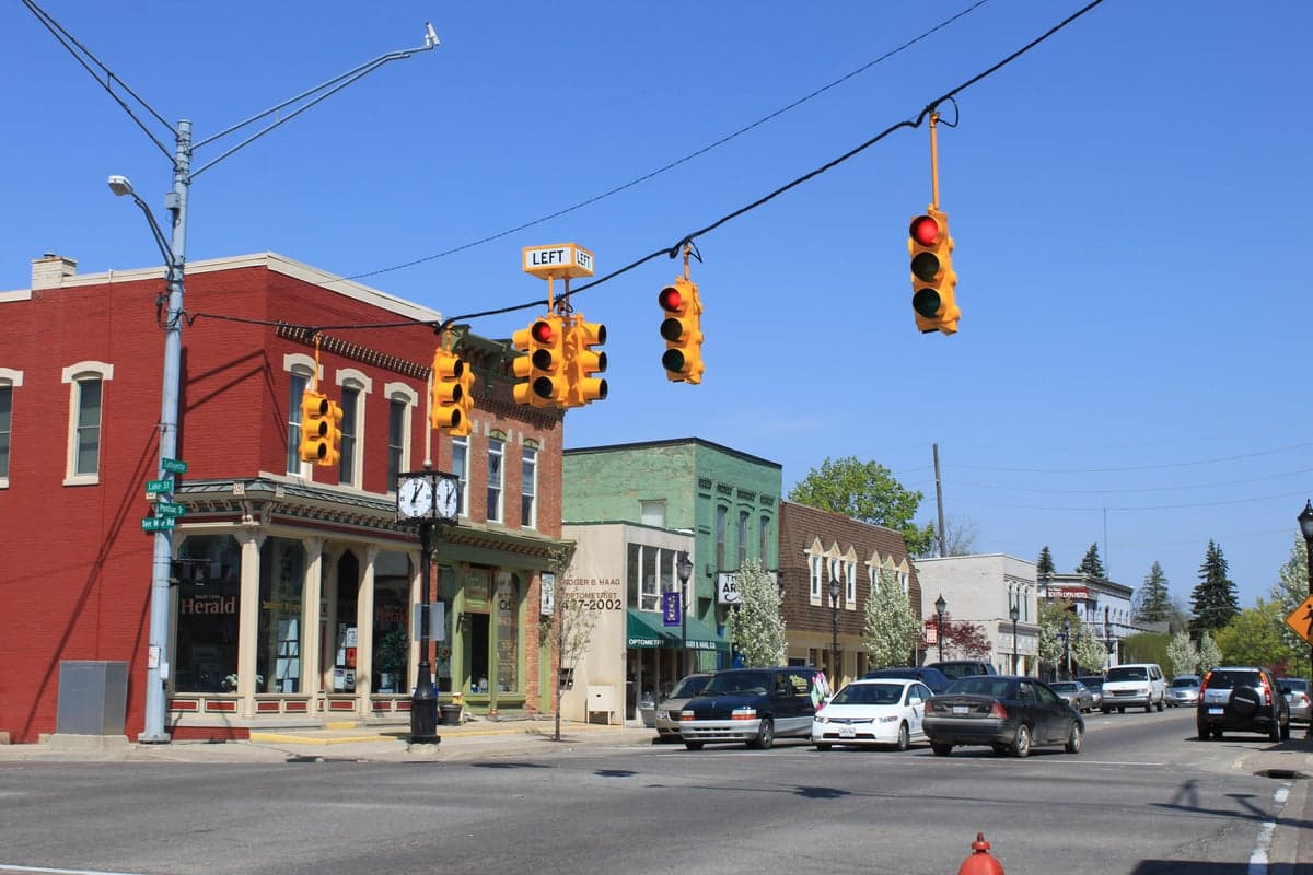
Photo: Wikipedia
Strategic Assessment of South Lyon, MI
Multiple tactical vulnerabilities. Population density, target proximity, or disaster risk are likely compounding. A retreat property and exit planning is required.
What does the Strategic Assessment tell us?
Our Strategic Assessment grades tactical survivability of an area. Major population centers, military targets, fallout zones, natural disasters, and border exposure all drive risk — lower exposure means a more defensible position in a crisis.
This is heavily inspired by Joel Skousen's Strategic Relocation book. Highly recommended you checkout the book ($)What does this tell us?
Our Strategic Assessment grades tactical survivability of an area. Major population centers, military targets, fallout zones, natural disasters, and border exposure all drive risk — lower exposure means a more defensible position in a crisis.
This is heavily inspired by Joel Skousen's Strategic Relocation book. Highly recommended you checkout the book ($)Strategic Pillars

Key Distances
Regional Safe Places
Below is our recommended "safe zones" in Michigan and the surrounding area based on our strategic heuristics. For most people, it's unrealistic to live in a “safe zone” full-time due to work, family or other personal reasons. They tend to be more rural. However, many of these areas are perfect for second homes and retreat properties that double as a vacation home or even a short-term rental.


Important Note: For informational purposes only. This does not mean nothing bad ever happens in the green zones. Please use common sense. This is based on public data and modeled with AI. We tried to take a conservative approach but mistakes happen. We update this regularly as new information becomes available.
Solar Generator Recommendations
Backup power matters more here than in safer locations. We've picked three solar generators across budgets and capacity tiers — start with the budget unit if you only need a few essentials, or step up if you want to run a fridge and HVAC for days at a time.

Jackery Portable Power Station Explorer 300
Budget OptionPower on the Go: Weighing only 11 lbs, it's convenient to set up and store with book-sized foldable solar panels

BLUETTI Portable Power Station AC180
Designed for both indoor and outdoor scenarios, AC180 is highly capable as it has a robost capacity and continuous output power.

EF ECOFLOW DELTA Pro Ultra Power Station
Upgraded PickEcoFlow DELTA Pro Ultra is a whole-home energy system designed to grow with your family. Integrated with the Smart Home Panel 2, it scales to meet your evolving energy needs — keeping your home powered, intelligent, and secure through every stage of life.
We earn a commission, at no additional cost to you.
Strategic Assessment Analysis
South Lyon, Michigan, offers a strategic balance of rural accessibility and suburban infrastructure that appeals to relocation-minded individuals and families with a conservative, self-reliant outlook. Located in western Oakland County, roughly 35 miles northwest of Detroit, the city sits at the intersection of major transportation corridors while maintaining a small-town character that supports community cohesion and personal preparedness. Its position within the Great Lakes region provides natural advantages for water security and temperate climate resilience, though proximity to metropolitan Detroit introduces specific risk considerations that any serious disaster-readiness assessment must weigh.
Geographic position and natural advantages for long-term stability
South Lyon’s location in the Huron River watershed places it within a region of abundant freshwater resources, a critical asset for any long-term resilience strategy. The city is surrounded by a patchwork of agricultural land, state game areas, and wetlands that buffer against urban sprawl and provide potential local food sources. The nearby Island Lake State Recreation Area and Kensington Metropark offer over 10,000 combined acres of protected open space, which could serve as emergency foraging, hunting, or evacuation zones if needed. The area’s glacial topography—characterized by rolling hills, kettle lakes, and moraines—creates natural drainage and reduces flood risk compared to flatter, river-adjacent communities. Winters are cold and snowy, which can be a hardship but also a natural barrier to movement and a deterrent to opportunistic threats. The region’s distance from active seismic zones, hurricane tracks, and wildfire-prone terrain means that natural disasters are limited primarily to severe thunderstorms, tornadoes (typically EF-1 or EF-2), and occasional ice storms—events that are manageable with standard preparedness measures.
Risks, exposures, and proximity to fallout-relevant landmarks
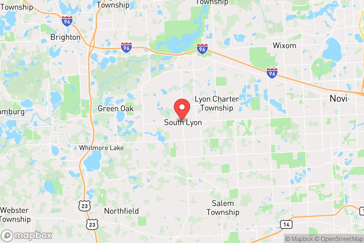
The most significant vulnerability for South Lyon is its proximity to metropolitan Detroit and the associated man-made risks. The city lies roughly 20 miles from the Detroit Metropolitan Wayne County Airport (DTW), a major international hub that could be a target in a conflict scenario or a source of cascading infrastructure failures. Additionally, the I-96 and US-23 corridors that converge near South Lyon are high-volume transportation arteries for both commercial and military logistics, making them potential choke points or targets during a crisis. The area is within the fallout zone of several potential targets in southeast Michigan, including the Ford River Rouge Complex in Dearborn (a major industrial and defense-related facility), the Detroit Arsenal in Warren (a U.S. Army tank plant), and the Enrico Fermi Nuclear Generating Station in Monroe County, approximately 40 miles south. While South Lyon is not in the immediate blast radius of these sites, prevailing westerly winds could carry fallout from a Detroit-area event toward the city. The presence of multiple natural gas pipelines and electrical substations in western Oakland County also introduces the risk of cascading utility failures during an EMP or cyberattack. For a relocator prioritizing strategic depth, these factors mean that South Lyon is not a remote bug-out location but rather a moderately exposed suburban position that requires active mitigation planning.
Practical resilience for a relocator: food, water, energy, and defensibility
South Lyon’s practical resilience is a mixed picture that rewards preparation. Water security is a strong point: the city draws from the Huron River and the Great Lakes Basin, and many homes in the surrounding townships have private wells. Even municipal water users can tap into the region’s high water table with a hand pump or shallow well, a realistic option for a determined household. The area’s agricultural base—including several active farms within a 10-mile radius—supports local food production, and the South Lyon Farmers Market operates seasonally, providing a network for sourcing heirloom seeds and livestock. However, the city itself is not a food-production hub; most grocery stores rely on just-in-time supply chains that would fail within days of a disruption. A relocator should plan to establish a minimum six-month food storage and consider joining a local community garden or buying into a CSA (community-supported agriculture) share. Energy resilience is moderate: the grid is reliable under normal conditions but vulnerable to ice storms and cyberattacks. Solar potential is decent, with roughly 4.5 peak sun hours per day, and many rural properties in the area already use propane or wood for heating. Defensibility is the weakest category. South Lyon is a compact, walkable town with a traditional grid layout, which makes it difficult to secure against a determined threat. The surrounding subdivisions and rural roads offer better options for a perimeter defense, but the city itself is not naturally defensible. The local police department is small (roughly 15 sworn officers), and the Oakland County Sheriff’s Office provides backup, but response times in a widespread crisis would be stretched thin. For a family, the best approach is to live on the outskirts—ideally on a minimum of 5–10 acres with a well, septic, and a clear line of sight to approach routes—rather than within the city limits.
The overall strategic picture for South Lyon is that of a moderately resilient location that rewards deliberate preparation. Its freshwater access, agricultural surroundings, and distance from the most critical national infrastructure make it a better choice than a dense suburb like Novi or a city-adjacent area like Farmington Hills. However, it is not a remote sanctuary; the proximity to Detroit, major transportation corridors, and industrial targets means that a relocator must take active steps to harden their property, build community ties, and establish redundant systems for water, food, and energy. For a conservative-leaning family or individual who values community, local governance, and the ability to live a self-sufficient lifestyle while still having access to urban employment and healthcare, South Lyon represents a viable middle ground—provided they treat resilience as an ongoing project, not a one-time purchase. The area’s real strength lies in its people: a mix of long-time residents, farmers, and professionals who tend to be neighborly, resourceful, and skeptical of over-reliance on government solutions. That cultural foundation, combined with the natural assets of the Great Lakes region, makes South Lyon a location worth serious consideration for anyone prioritizing long-term stability over short-term convenience.

* Values derived from national, state, county, city and local statistics and may differ in a specific area. Last updated: 2026-10-08T08:47:51.000Z
Narrative content on this page is AI-generated and may contain mistakes. Verify any details that matter before acting on them.
ReloMaps may earn a commission from affiliate links at no extra cost to you.

