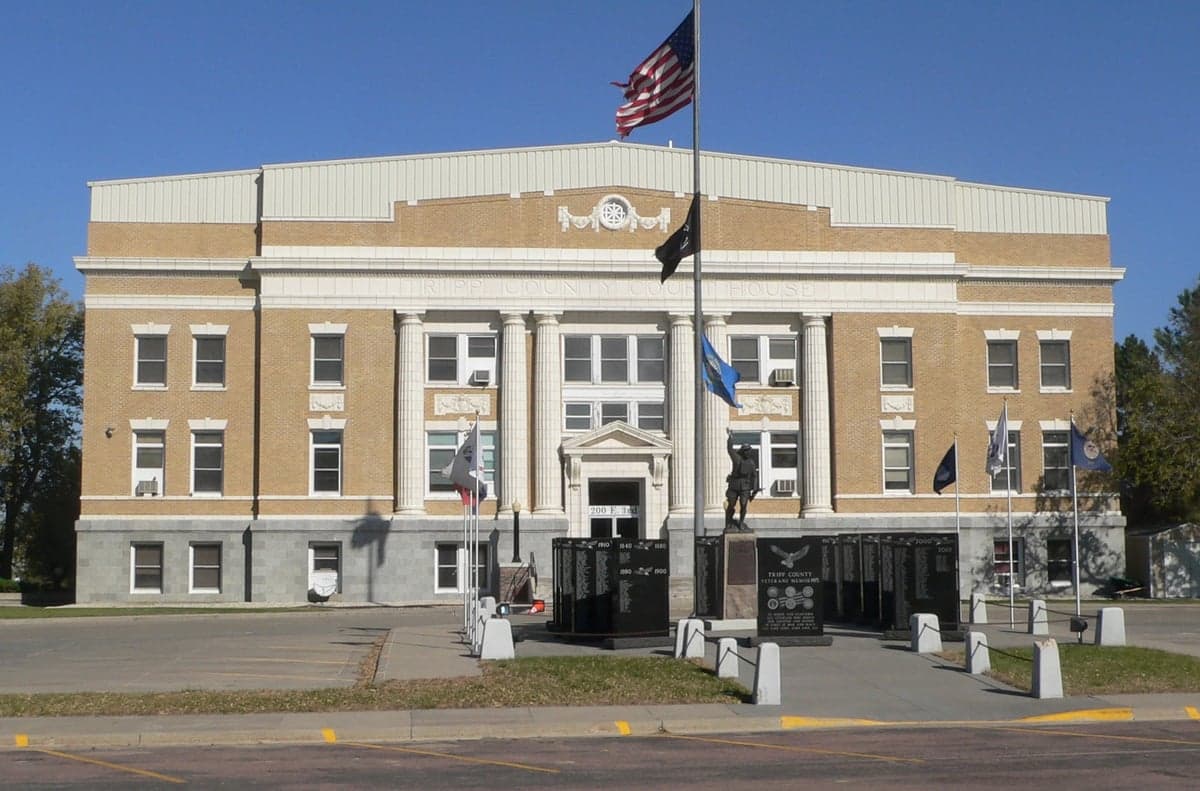
Photo: Wikipedia
Strategic Assessment of Tripp County
Deep buffer from population centers and strategic targets. Low natural disaster risk and minimal exposure to border or coastal threats.
What does the Strategic Assessment tell us?
Our Strategic Assessment grades tactical survivability of an area. Major population centers, military targets, fallout zones, natural disasters, and border exposure all drive risk — lower exposure means a more defensible position in a crisis.
This is heavily inspired by Joel Skousen's Strategic Relocation book. Highly recommended you checkout the book ($)What does this tell us?
Our Strategic Assessment grades tactical survivability of an area. Major population centers, military targets, fallout zones, natural disasters, and border exposure all drive risk — lower exposure means a more defensible position in a crisis.
This is heavily inspired by Joel Skousen's Strategic Relocation book. Highly recommended you checkout the book ($)Strategic Pillars

Key Distances
Strategic Assessment Analysis
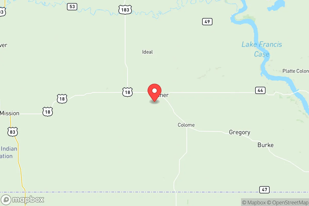
Tripp County, South Dakota, offers a compelling strategic profile for relocators prioritizing resilience and self-sufficiency, anchored by its remote location in the south-central part of the state along the Nebraska border. The county seat of Winner, the only incorporated town of significant size, sits roughly 100 miles from the nearest major population centers—Sioux Falls to the east and Rapid City to the west—placing it well outside the immediate fallout zones of any high-value target. This geographic buffer, combined with a low population density of roughly 2,200 residents across 1,614 square miles, provides a baseline of isolation that is difficult to find in more accessible regions of the Great Plains.
Geographic position and natural advantages for long-term security
Tripp County’s location on the Missouri Plateau offers a mix of open prairie and river valleys that support both agriculture and natural water access. The Keya Paha River and the Little White River run through the county, providing surface water sources that are less contested than in arid western states. The county sits atop the High Plains Aquifer system, with the Ogallala Aquifer underlying parts of the area, offering groundwater reserves that are deeper than in eastern Nebraska but still viable for private wells. The terrain is gently rolling to flat, with no major floodplains or fault lines, reducing exposure to natural disasters like earthquakes or catastrophic flooding. The nearest military installation of strategic significance is Ellsworth Air Force Base near Rapid City, roughly 120 miles northwest, which houses B-1B Lancer bombers—a potential target in a conflict scenario, but far enough away that Tripp County would not face direct blast effects or significant fallout drift under prevailing westerly winds. The county’s position also places it roughly 200 miles from the Minuteman III missile fields of western Nebraska and eastern Wyoming, a relevant consideration for those assessing nuclear conflict risks, though the distance and prevailing wind patterns mitigate direct fallout exposure for most scenarios.
Risks, exposures, and proximity to fallout-relevant landmarks
While Tripp County benefits from isolation, it is not without exposure to man-made risks. The county lies within the broader Missouri River basin, and the Fort Randall Dam on the Missouri River, about 50 miles northwest near Pickstown, is a critical infrastructure target—a major hydroelectric dam that, if compromised, could disrupt regional power grids but poses no direct flooding threat to Tripp County due to its elevation. The nearest major rail corridor is the BNSF line running through Chamberlain, about 60 miles north, which carries hazardous materials including crude oil from the Bakken fields; a derailment or attack on that line could release toxic chemicals or cause fires, but the prevailing winds would carry smoke and contaminants away from Tripp County in most weather patterns. The county’s own infrastructure is limited: Winner has a small municipal airport (ICAO: KIEN) suitable for general aviation, but no major highways—U.S. Route 18 and 183 are two-lane roads that could become chokepoints in a mass evacuation scenario. Tornadoes are a seasonal risk, with the county averaging 6-8 tornado warnings per year, though the sparse population means property damage is typically low. Drought is a recurring concern, with the 2012-2013 drought causing significant crop losses; the county’s agricultural economy, centered on corn, soybeans, and cattle, is vulnerable to multi-year dry spells that could stress local food production.
Practical resilience for a relocator: food, water, energy, and defensibility
For a relocator focused on self-sufficiency, Tripp County offers strong fundamentals in food and water security. The county’s agricultural base means local food production is robust: Winner hosts a weekly farmers market from June to October, and the surrounding area has numerous small-scale livestock operations and grain elevators. Private well drilling is common, with typical depths of 100-300 feet to reach the Dakota Sandstone aquifer, and water quality is generally good with moderate hardness. The county’s energy infrastructure is less resilient: Winner is served by the Western Area Power Administration grid, which draws from the Missouri River dams, and a prolonged grid outage would leave most residents dependent on backup generators or solar. Solar potential is good, with the county averaging 5.2 peak sun hours per day, and off-grid setups are feasible on larger parcels. Defensibility is a mixed picture: the open prairie offers long sightlines but limited natural cover, making perimeter security challenging on a homestead. The county’s low population density means neighbors are often miles apart, which reduces social friction but also limits mutual aid networks. The Winner Police Department and Tripp County Sheriff’s Office are small—roughly 10 officers combined—so law enforcement response times in rural areas can exceed 30 minutes. For those willing to invest in perimeter fencing, security lighting, and community-building with nearby landowners, the area can be made reasonably secure against opportunistic threats.
The overall strategic picture for Tripp County is one of trade-offs: it offers genuine geographic isolation, reliable water access, and a strong agricultural base that make it a viable long-term relocation for those prioritizing resilience over convenience. The absence of major military or industrial targets within 100 miles reduces the likelihood of direct conflict exposure, while the county’s position on the Great Plains places it outside the primary fallout corridors of a nuclear exchange targeting the U.S. missile fields or coastal cities. However, the same isolation that provides security also creates vulnerabilities—limited medical infrastructure (Winner has a critical access hospital with 15 beds), dependence on a single two-lane highway for resupply, and exposure to drought and tornadoes that require proactive planning. For a relocator with the resources to develop a self-sufficient homestead—solar panels, a well, food storage, and a community of like-minded neighbors—Tripp County represents a solid, if unglamorous, option in the upper Midwest. It is not a bug-out location for a weekend warrior, but a place to build a life with eyes open to both its strengths and its limitations.

* Values derived from national, state, county, city and local statistics and may differ in a specific area. Last updated: 2026-07-15T03:38:39.000Z
Narrative content on this page is AI-generated and may contain mistakes. Verify any details that matter before acting on them.
ReloMaps may earn a commission from affiliate links at no extra cost to you.

