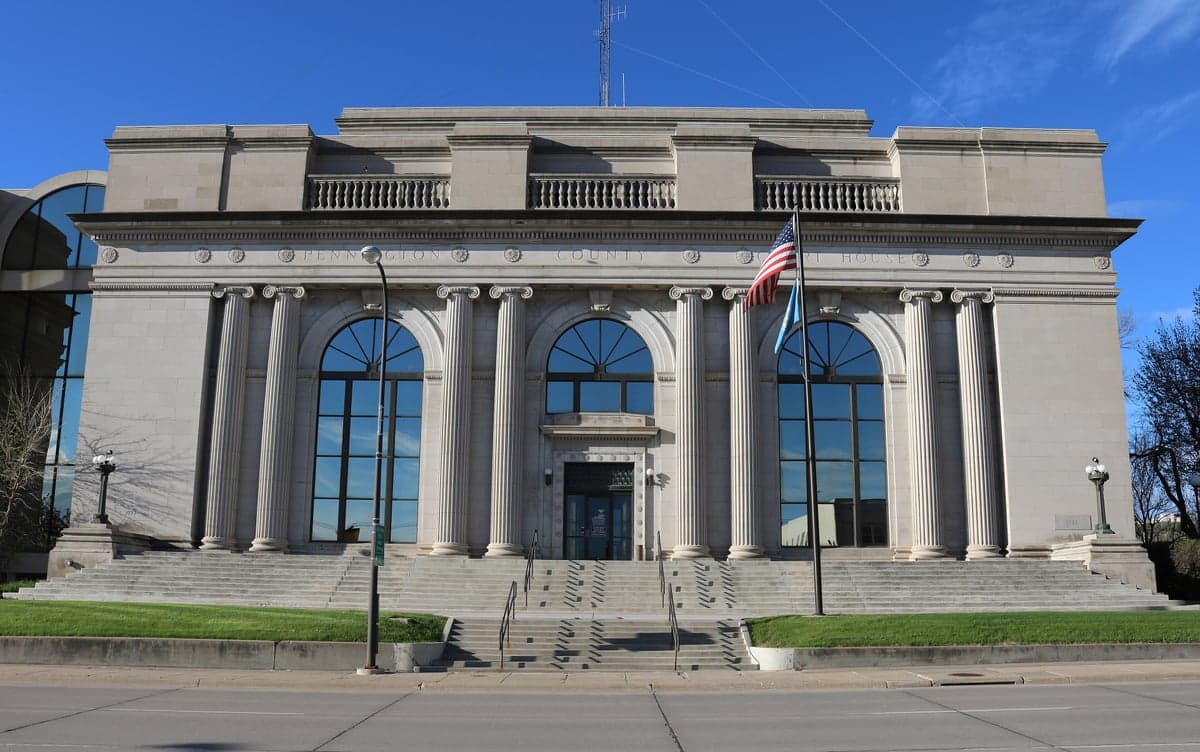
Photo: Wikipedia
Strategic Assessment of Pennington County
Strong survivability profile. Good buffer from population centers, with manageable environmental and tactical risks.
What does the Strategic Assessment tell us?
Our Strategic Assessment grades tactical survivability of an area. Major population centers, military targets, fallout zones, natural disasters, and border exposure all drive risk — lower exposure means a more defensible position in a crisis.
This is heavily inspired by Joel Skousen's Strategic Relocation book. Highly recommended you checkout the book ($)What does this tell us?
Our Strategic Assessment grades tactical survivability of an area. Major population centers, military targets, fallout zones, natural disasters, and border exposure all drive risk — lower exposure means a more defensible position in a crisis.
This is heavily inspired by Joel Skousen's Strategic Relocation book. Highly recommended you checkout the book ($)Strategic Pillars

Key Distances
Strategic Assessment Analysis
Pennington County, South Dakota, offers a compelling strategic position for relocators prioritizing resilience and self-sufficiency, anchored by the Black Hills region and the city of Rapid City. Its location places it far from major coastal population centers, major refinery corridors, and high-value military installations like Fort Hood or Offutt Air Force Base, significantly reducing exposure to primary fallout targets. The county’s combination of natural barriers, low population density outside Rapid City, and access to critical resources makes it a serious contender for those assessing long-term disaster readiness and geographic security.
Geographic position and natural advantages for long-term security
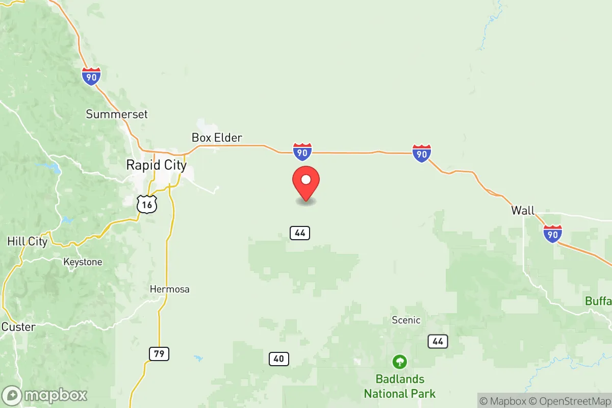
Pennington County sits in western South Dakota, with the Black Hills forming its western boundary and the Great Plains stretching east. This dual geography provides both defensible terrain and agricultural potential. The county’s elevation—averaging 3,000 to 4,000 feet—offers a natural buffer against sea-level rise and storm surge, while the Black Hills’ rugged topography creates natural choke points and concealment options. Rapid City, the county seat and largest population center (roughly 75,000 residents), is the only urban hub; the rest of the county is sparsely populated, with towns like Hill City (pop. 950), Box Elder (pop. 12,000), and Wall (pop. 800) offering low-density alternatives. The county’s distance from major interstate corridors—I-90 runs east-west but is not a primary military or industrial logistics route—reduces its attractiveness as a secondary target. The nearest major military installation is Ellsworth Air Force Base, located just east of Rapid City, which is a potential risk but is not a strategic nuclear command center like Offutt or a major deployment hub like Fort Hood. The Black Hills themselves provide natural cover and water resources, with Mount Rushmore and Wind Cave National Park serving as landmarks that also indicate the region’s geological stability and groundwater availability.
Risks, exposures, and proximity to fallout-relevant landmarks
The primary risk in Pennington County is the presence of Ellsworth Air Force Base, which houses B-1B Lancer bombers and is a key component of the U.S. strategic bomber force. In a major conflict, this base could be a target for long-range missiles or sabotage, placing areas within a 10- to 20-mile radius—including parts of Rapid City and Box Elder—at elevated risk. However, the base is not a nuclear command center or a major troop staging area, and its remote location reduces the likelihood of a ground-based attack compared to bases near population centers. Beyond this, the county faces natural risks: wildfires in the Black Hills (the 2021 Legion Lake Fire burned 5,000 acres), severe winter storms, and occasional tornadoes on the plains. The county is not near any major refinery (the closest is in Wyoming, over 200 miles away), large ports, or chemical storage facilities, which are common fallout-relevant landmarks in other regions. The Pine Ridge Indian Reservation to the south is a low-density area with minimal industrial infrastructure, further reducing secondary risks. For a relocator, the key exposure is the base; living in Hill City or Wall (both over 30 miles from Ellsworth) significantly mitigates this risk while still providing access to Rapid City’s resources.
Practical resilience for a relocator: food, water, energy, and defensibility
Pennington County offers strong practical resilience for those prepared to adapt. Water is abundant: the Black Hills receive 20–25 inches of precipitation annually, with numerous springs, creeks, and the Rapid Creek watershed providing reliable surface water. The Madison Aquifer, one of the largest in the region, underlies parts of the county, offering deep groundwater access. Food production is viable but requires effort: the county has a short growing season (May to September) and rocky soil in the hills, but the eastern plains support cattle ranching and dryland wheat farming. Local food networks exist through farmers’ markets in Rapid City and Hill City, and hunting (deer, elk, turkey) is a reliable protein source. Energy is a mixed picture: the county is served by Black Hills Energy, which relies on coal and natural gas, but solar potential is good (over 200 sunny days per year), and wind resources are strong on the plains. Off-grid solar or small wind turbines are feasible for those with land. Defensibility is a standout advantage: the Black Hills offer natural cover, with dense forests, steep canyons, and limited road access (only a few highways penetrate the hills). A property near Hill City or in the Black Hills National Forest provides natural concealment and multiple escape routes. The county’s low population density—roughly 30 people per square mile outside Rapid City—reduces competition for resources in a crisis. However, the region’s isolation means that medical care and supply chains are concentrated in Rapid City; a major disruption could strain local hospitals (Monument Health Rapid City Hospital is the primary trauma center). For a relocator, building a self-sufficient homestead with a well, solar panels, and a root cellar is practical, but reliance on the local economy for specialized goods (ammunition, medical supplies, tools) is a vulnerability.
Overall, Pennington County presents a strong strategic profile for a relocator focused on resilience, provided they accept the trade-offs of remote living and the specific risk from Ellsworth Air Force Base. Its geographic isolation, natural water and food resources, and defensible terrain outweigh the exposure to a single military target, especially if one chooses a home in the western hills rather than near the base. The county is not a fallout-free zone—no place is—but it offers a realistic balance of security and practicality for those willing to invest in self-sufficiency. For a conservative-leaning audience valuing preparedness, land ownership, and community self-reliance, Pennington County deserves serious consideration as a long-term relocation option.

* Values derived from national, state, county, city and local statistics and may differ in a specific area. Last updated: 2026-10-23T20:17:50.000Z
Narrative content on this page is AI-generated and may contain mistakes. Verify any details that matter before acting on them.
ReloMaps may earn a commission from affiliate links at no extra cost to you.

