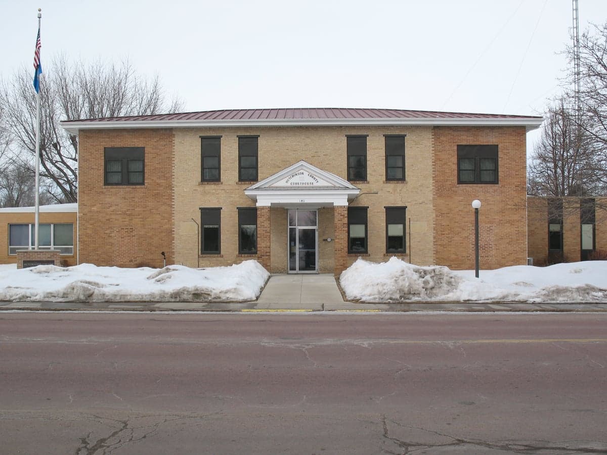
Photo: Wikipedia
Strategic Assessment of Hutchinson County
Strong survivability profile. Good buffer from population centers, with manageable environmental and tactical risks.
What does the Strategic Assessment tell us?
Our Strategic Assessment grades tactical survivability of an area. Major population centers, military targets, fallout zones, natural disasters, and border exposure all drive risk — lower exposure means a more defensible position in a crisis.
This is heavily inspired by Joel Skousen's Strategic Relocation book. Highly recommended you checkout the book ($)What does this tell us?
Our Strategic Assessment grades tactical survivability of an area. Major population centers, military targets, fallout zones, natural disasters, and border exposure all drive risk — lower exposure means a more defensible position in a crisis.
This is heavily inspired by Joel Skousen's Strategic Relocation book. Highly recommended you checkout the book ($)Strategic Pillars

Key Distances
Strategic Assessment Analysis
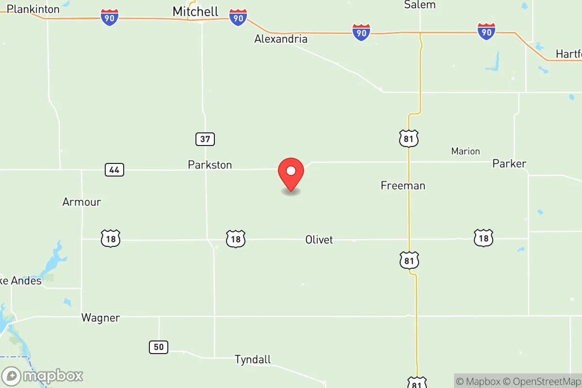
Hutchinson County, South Dakota, offers a strategic relocation option for those prioritizing resilience and self-sufficiency, anchored by its position in the rural Great Plains far from major metropolitan targets. The county seat of Olivet and the largest town of Freeman provide a quiet, agricultural base with low population density, while the county's location roughly 60 miles southwest of Sioux Falls and over 100 miles from the Missouri River's nuclear infrastructure at Fort Randall Dam places it in a zone of relative geographic isolation. For a family or individual assessing long-term stability, the area's combination of productive farmland, modest infrastructure, and distance from high-risk urban and industrial zones makes it a defensible choice worth serious consideration.
Geographic position and natural advantages for long-term stability
Hutchinson County sits in the James River Valley, a region of flat to gently rolling plains that has historically supported intensive agriculture, particularly corn, soybeans, and livestock. The county's position in southeastern South Dakota places it within the state's most productive agricultural belt, with deep, fertile soils and a climate that, while harsh in winter, provides reliable growing seasons for staple crops. The James River itself runs through the western portion of the county, offering a surface water source that supplements the region's abundant groundwater from the High Plains Aquifer system. This water security is a significant advantage for relocators focused on long-term self-sufficiency, as the county's rural character means minimal competition for well water compared to suburban or exurban areas. The nearest city of any notable size is Sioux Falls, a regional hub of about 200,000 people, but its distance means Hutchinson County residents are insulated from the immediate fallout and social disruption that would accompany a major event targeting that population center. The county's low elevation and inland position also shield it from hurricane storm surge, tsunami risk, and the worst of coastal nuclear fallout patterns, which tend to follow prevailing westerly winds toward the eastern seaboard.
Risk exposure and proximity to fallout-relevant landmarks
While Hutchinson County is far from the highest-risk zones, it is not entirely free of exposure to man-made and natural hazards. The most significant man-made risk comes from the Fort Randall Dam and Powerhouse on the Missouri River, roughly 110 miles to the west, which is a critical piece of the region's hydroelectric and flood control infrastructure. A catastrophic failure or targeted attack on that dam could disrupt power and water supplies across a wide area, though the county's reliance on local wells and its position east of the river reduces direct flood risk. The county is also within roughly 150 miles of the Ellsworth Air Force Base near Rapid City, a strategic bomber and missile facility that would be a high-priority target in a conflict. Fallout patterns from a strike on Ellsworth would depend heavily on wind direction, but Hutchinson County's southeastern location places it in a less likely downwind zone compared to areas directly east of the base. Natural risks are limited but real: the region experiences occasional severe thunderstorms, tornadoes, and blizzards. The 1998 Spencer tornado, which devastated a small town just 30 miles north in McCook County, is a reminder that the Great Plains can produce violent weather. However, the county's sparse development means fewer structures and people are exposed to such events, and the agricultural landscape provides ample warning time and open escape routes.
Practical resilience for a relocator: food, water, energy, and defensibility
For a relocator serious about self-sufficiency, Hutchinson County offers strong fundamentals. The agricultural base means local food production is not just possible but dominant: the county is home to numerous family farms, grain elevators, and livestock operations, and the town of Freeman hosts a cooperative grain elevator and farm supply center. Residents with land can easily establish gardens, orchards, or small livestock operations, and the local Amish and Mennonite communities in the area provide a living example of low-tech, resilient living. Water is accessible via private wells tapping the High Plains Aquifer, with typical depths of 100 to 300 feet and good yields; the county's rural zoning allows for rainwater catchment and cistern systems without the permitting hurdles common in more regulated jurisdictions. Energy infrastructure is modest but functional: the county is served by Southeastern Electric Cooperative, which draws power from the regional grid, but the area's open skies and consistent winds make solar and small wind turbine installations practical for off-grid or grid-tied backup. Defensibility is a mixed picture. The flat terrain offers long sightlines but limited natural cover, meaning a prepared homestead would need to rely on standoff distance, perimeter awareness, and community networks rather than terrain-based concealment. The county's low population density—roughly 7 people per square mile—means that social cohesion is high in small towns like Freeman, Menno, and Tripp, but isolated homesteads could face challenges in mutual aid scenarios. The nearest hospital is in Freeman, a critical access facility with basic emergency care, while major trauma care requires a 60-mile drive to Sioux Falls.
The overall strategic picture for Hutchinson County is one of moderate resilience with clear trade-offs. Its strengths lie in agricultural productivity, water security, low population density, and distance from high-value targets like Sioux Falls, Ellsworth AFB, and the Missouri River dams. Its weaknesses include exposure to Great Plains severe weather, limited medical infrastructure, and a flat landscape that offers little natural defensibility. For a family or individual willing to invest in well-drilling, renewable energy, and community integration, the county provides a solid foundation for a self-sufficient lifestyle. The presence of established rural communities with a tradition of mutual aid—particularly among the region's Anabaptist groups—adds a social resilience layer that is harder to quantify but valuable in practice. Hutchinson County is not a fortress, but it is a defensible, productive piece of the American heartland that rewards preparation and local knowledge.

* Values derived from national, state, county, city and local statistics and may differ in a specific area. Last updated: 2026-07-17T16:34:51.000Z
Narrative content on this page is AI-generated and may contain mistakes. Verify any details that matter before acting on them.
ReloMaps may earn a commission from affiliate links at no extra cost to you.

