
Photo: Wikipedia
Strategic Assessment of Codington County
Strong survivability profile. Good buffer from population centers, with manageable environmental and tactical risks.
What does the Strategic Assessment tell us?
Our Strategic Assessment grades tactical survivability of an area. Major population centers, military targets, fallout zones, natural disasters, and border exposure all drive risk — lower exposure means a more defensible position in a crisis.
This is heavily inspired by Joel Skousen's Strategic Relocation book. Highly recommended you checkout the book ($)What does this tell us?
Our Strategic Assessment grades tactical survivability of an area. Major population centers, military targets, fallout zones, natural disasters, and border exposure all drive risk — lower exposure means a more defensible position in a crisis.
This is heavily inspired by Joel Skousen's Strategic Relocation book. Highly recommended you checkout the book ($)Strategic Pillars

Key Distances
Strategic Assessment Analysis
Codington County, South Dakota, offers a strategic balance of agricultural self-sufficiency, low population density, and geographic isolation that appeals to relocation-minded individuals and families seeking resilience. Its position in the northeastern part of the state places it well outside the primary target zones of major metropolitan areas, while still providing access to supply corridors and regional services. The county's economy, anchored by Watertown and supported by a network of small towns, demonstrates a durable mix of farming, light manufacturing, and logistics that insulates it from the volatility of coastal markets.
Why Codington County's geography offers a natural buffer
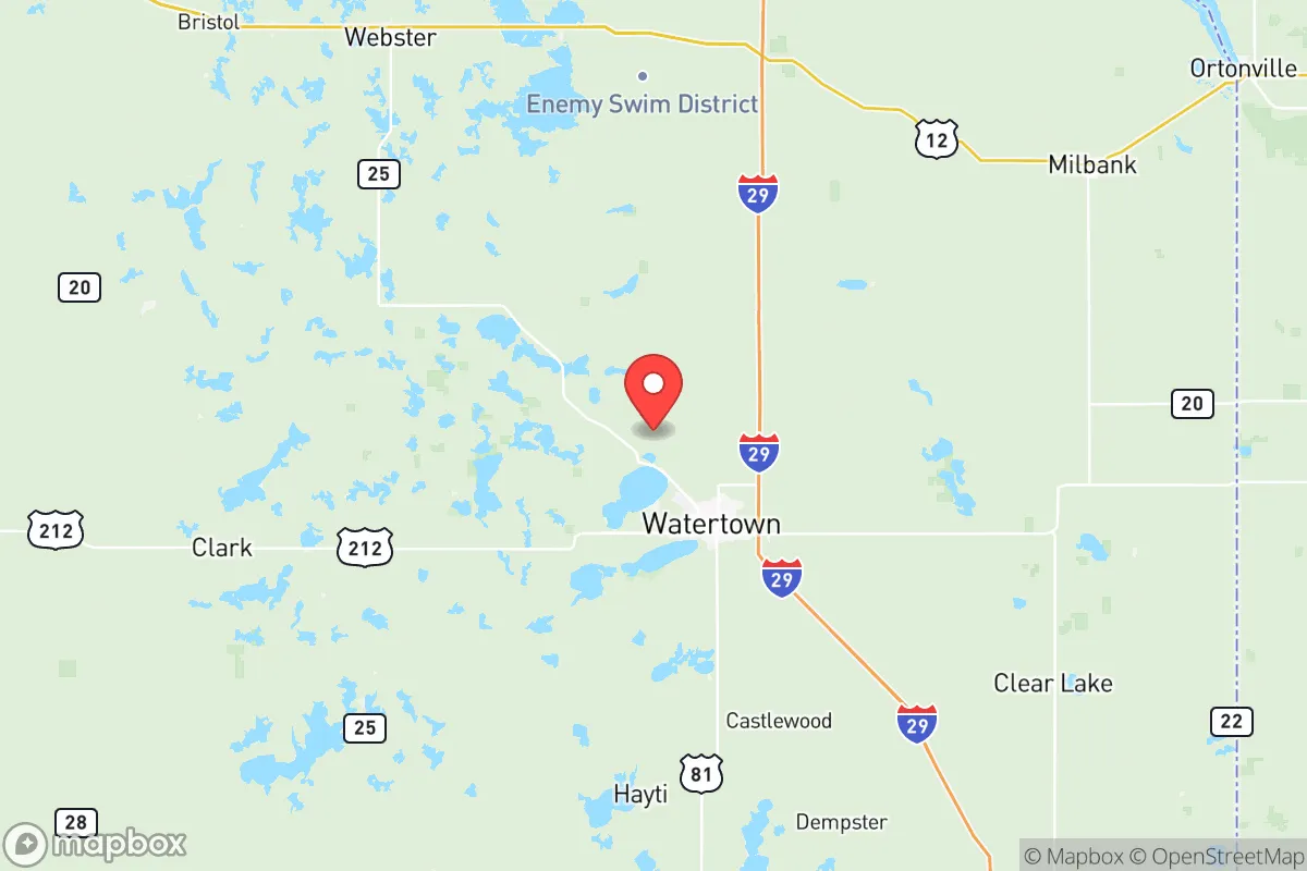
Codington County sits roughly 150 miles northeast of Sioux Falls and 180 miles east of Minneapolis–St. Paul, far enough from both to minimize fallout risk from any strategic strike or industrial accident in those metro areas. The county's terrain is rolling prairie dotted with glacial lakes, offering natural defensibility through open sightlines and limited cover for any approach. Lake Kampeska, just north of Watertown, and Lake Pelican to the south provide fresh water reserves that can support a relocating family or small community without dependence on municipal pipelines. The Big Sioux River runs through the western edge of the county, adding another water source and potential irrigation corridor. Interstate 29 cuts through the eastern side of the county, linking Watertown to Sioux Falls and Fargo, but the county's interior roads (such as US Highway 212 and South Dakota Highway 20) remain less congested and easier to control in a disruption scenario. The Watertown Regional Airport (KATY) offers a secondary airfield for Medevac or cargo if needed, but its small scale means it is unlikely to be a primary military target. The county's position on the eastern edge of the Missouri River basin also provides access to that larger water system via tributaries like the Big Sioux, giving residents a regional backup plan for long-term drought.
Natural and man-made risks: what to watch for in northeastern South Dakota
No area is without exposure, and Codington County faces distinct natural hazards that would factor into a resilience assessment. Severe thunderstorms producing large hail and tornadoes are a seasonal reality, with the highest risk occurring from May through July. The 2019 tornado near Watertown serves as a reminder that these events can strike without warning, though the county's open landscape means plenty of advance notice from radar. Winter blizzards can drop several feet of snow and leave rural roads impassable for days, demanding that any household maintain a minimum two-week supply of food, fuel, and heating oil. Drought also periodically affects the region, most recently in 2021–2022, which strained local irrigation and small-scale livestock operations. On the man-made risk side, the county hosts no major military bases, refineries, or nuclear power plants, which dramatically reduces its attractiveness as a secondary target. The nearest military installation is the South Dakota Army National Guard facility in Watertown itself, a small armory that is unlikely to draw strategic attention. The closest major industrial concern is the Poet Biorefining ethanol plant at the western edge of Watertown; while a point-source for potential airborne toxins in a worst-case fire scenario, it is situated far enough from residential zones that any release would be manageable with standard shelter-in-place protocols. The county's distance from the Trans-Alaska Pipeline System, Rocky Mountain refineries, and the Bakken oil fields in western North Dakota further reduces its vulnerability to secondary industrial fallout. For a relocator concerned about national-scale disruptions, this lack of high-value targets within 50 miles is a significant advantage.
Practical self-sufficiency: food, water, energy, and defensibility in Codington County
For someone prioritizing long-term self-sufficiency, Codington County provides a strong starting point. The county's agricultural base means bulk food procurement is possible through local producers: corn, soybeans, and small grains dominate the crop mix, while livestock operations (cattle and hogs) are common in the rural townships. Farmers' markets in Watertown and the Florence area offer direct-purchase options for local vegetables, eggs, and meat, and the county's extension service through South Dakota State University provides resources for home gardening and animal husbandry. Water access varies by location, with private wells common in unincorporated areas — a deep well can deliver potable water at low operating cost, provided a hand-pump backup is installed for power outages. Surface water from Lake Kampeska and Lake Pelican is available but would require purification. Electricity in the county comes primarily from wind farms and coal-fired plants along the Missouri River (Big Stone Plant in Grant County, ~40 miles northwest), with a growing solar presence on homesteads. The region's wind resource is among the best in the lower 48, making small-scale turbines a viable addition to home energy systems. For defensibility, the terrain's openness works both ways: an armed group defending a rural homestead has good fields of fire, but so do potential adversaries. The county's low population density (roughly 28 people per square mile) means one's closest neighbor may be a quarter-mile or more away, reducing the risk of looting or civil unrest spread from town centers. However, reliance on that solitude also means that emergency response times from the Codington County Sheriff's Office can be 30 minutes or more in the most remote areas south of South Shore. Pre-positioning supplies, tools, and medical gear is essential. The county's network of volunteer fire departments offers community resilience that can be tapped through local churches or township meetings — a key social fabric advantage that outweighs formal government readiness in most disruption scenarios.
In the full strategic picture, Codington County stands out as a competent, low-signature relocation destination for those serious about disaster readiness without wanting to live completely off-grid. Its isolation from nationally critical infrastructure is a net positive for fallout risk, and its agricultural surplus can sustain a household indefinitely with proper preparation. The main compromises are the region's harsh winter weather (which tests mental and physical endurance) and the relatively limited healthcare infrastructure — the largest hospital, Prairie Lakes Healthcare System in Watertown, is adequate for routine care but would be overmatched in a regional emergency. For families willing to invest in cold-weather gear, a backup water source, and a solid security plan for the open landscape, Codington County offers a realistic path to long-term residential resilience that doesn't require a prepper bunker or a mountain fortress.

* Values derived from national, state, county, city and local statistics and may differ in a specific area. Last updated: 2026-07-14T12:11:18.000Z
Narrative content on this page is AI-generated and may contain mistakes. Verify any details that matter before acting on them.
ReloMaps may earn a commission from affiliate links at no extra cost to you.

