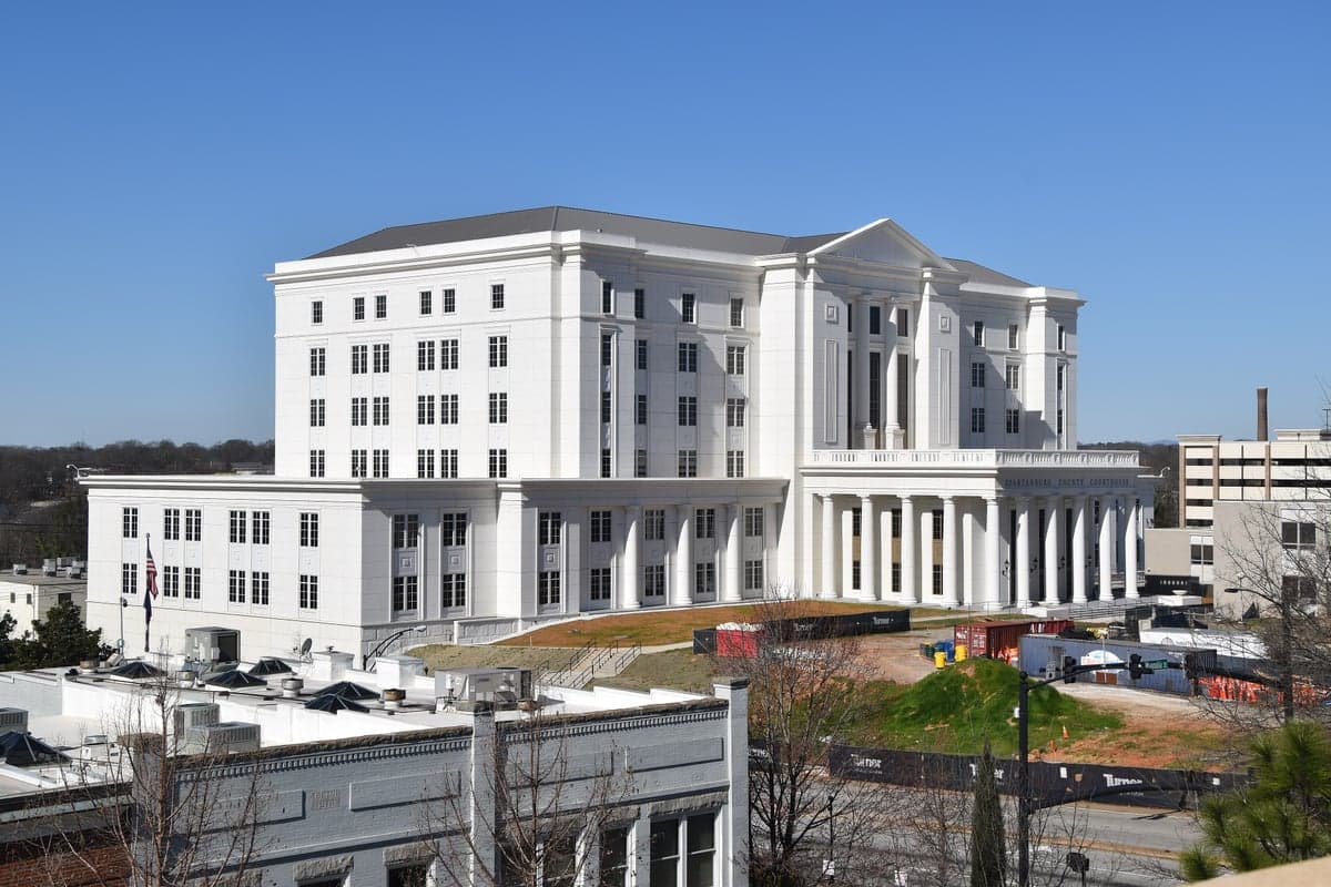
Photo: Wikipedia
Strategic Assessment of Spartanburg County
Meaningful friction. Expect exposure to either population pressure, blast zones, or natural disaster risk. Consider buying a retreat property.
What does the Strategic Assessment tell us?
Our Strategic Assessment grades tactical survivability of an area. Major population centers, military targets, fallout zones, natural disasters, and border exposure all drive risk — lower exposure means a more defensible position in a crisis.
This is heavily inspired by Joel Skousen's Strategic Relocation book. Highly recommended you checkout the book ($)What does this tell us?
Our Strategic Assessment grades tactical survivability of an area. Major population centers, military targets, fallout zones, natural disasters, and border exposure all drive risk — lower exposure means a more defensible position in a crisis.
This is heavily inspired by Joel Skousen's Strategic Relocation book. Highly recommended you checkout the book ($)Strategic Pillars

Key Distances
Strategic Assessment Analysis
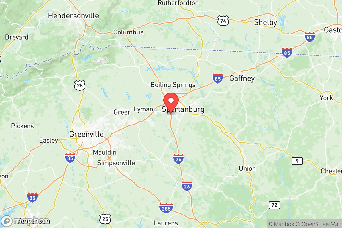
Spartanburg County, South Carolina, offers a strategic blend of geographic resilience and economic momentum that appeals to relocation-minded individuals and families who prioritize preparedness without sacrificing opportunity. Nestled in the Upstate region at the crossroads of Interstates 85 and 26, the county sits roughly equidistant from the major population centers of Charlotte, North Carolina (about 75 miles northeast) and Atlanta, Georgia (about 150 miles southwest), yet remains far enough removed to avoid the direct fallout risks associated with those large metropolitan targets. The area’s positioning along the I-85 corridor has fueled steady growth, anchored by a diversified manufacturing base that includes BMW’s massive Spartanburg County plant in Greer, which employs over 11,000 people, and a burgeoning logistics hub near the Greenville-Spartanburg International Airport (GSP). This economic resilience, combined with a relatively low population density outside the city limits, makes Spartanburg County a practical choice for those weighing disaster readiness against daily livability.
Geographic position and natural advantages for disaster readiness
Spartanburg County’s topography and location provide several natural buffers that enhance its resilience profile. The county sits in the Piedmont region, characterized by rolling hills and clay-based soils that drain well, reducing flood risk compared to coastal or low-lying areas. The Blue Ridge Mountains lie about 30 miles to the northwest, offering a natural barrier that can deflect or weaken severe weather systems moving inland from the Atlantic. The county is far enough from the coast—roughly 200 miles from Charleston—to avoid the worst of hurricane storm surge, though tropical remnants can still bring heavy rain and wind. Key natural assets include the Broad River, which flows through the county’s western edge, and Lake Bowen and Lake Blalock, two major reservoirs that provide drinking water and recreational water storage for the Spartanburg Water System. These water bodies, along with the Pacolet River in the east, offer multiple sources for emergency water supply, a critical advantage for self-sufficiency planning. The county’s elevation averages around 800 feet, which mitigates the risk of tornadoes relative to the Deep South, though severe thunderstorms remain a seasonal concern. For a relocator, the combination of inland positioning, moderate elevation, and multiple water sources creates a solid baseline for long-term resilience.
Risks, exposures, and proximity to fallout-relevant landmarks
While Spartanburg County avoids the highest-risk zones, it is not without exposures that a disaster-conscious relocator should weigh. The most significant man-made risk comes from the county’s industrial density along the I-85 corridor. The BMW plant in Greer and the nearby Michelin tire facilities in Spartanburg and Duncan represent large-scale manufacturing operations that could become secondary targets or sources of hazardous material releases during a conflict or major accident. Additionally, the county sits within 50 miles of the Savannah River Site (SRS), a Department of Energy nuclear facility near Aiken, South Carolina, which handles tritium processing and nuclear waste storage. While SRS is not a power reactor, its strategic importance makes it a potential target in a major conflict, and prevailing winds from the southwest could carry fallout toward Spartanburg County under certain conditions. The county is also within 100 miles of the Duke Energy Oconee Nuclear Station in Seneca, South Carolina, and the Catawha Nuclear Station near Rock Hill, both of which are operational power reactors. On the natural hazard side, the county experiences an average of 10 to 15 tornado warnings per year, though direct hits are rare. The Broad River has a history of flooding in low-lying areas near the city of Spartanburg, particularly along the North Tyger River and Fairforest Creek. For a relocator, the key takeaway is that Spartanburg County’s risks are moderate and manageable, but the proximity to nuclear facilities and industrial targets requires a proactive plan for shelter and evacuation routes, particularly toward the mountains to the northwest.
Practical resilience for a relocator: food, water, energy, and defensibility
For a family or individual serious about self-sufficiency, Spartanburg County offers a strong foundation with some notable gaps. The county’s agricultural sector is robust, with over 1,200 farms producing poultry, cattle, soybeans, and hay, and the Hub City Farmers Market in downtown Spartanburg provides year-round access to local produce. The surrounding rural areas, particularly in the northern parts of the county near Campobello and Landrum, offer affordable land for small-scale farming or homesteading, with prices ranging from $5,000 to $15,000 per acre as of 2026. Water availability is a strength: the Spartanburg Water System serves over 200,000 customers from Lake Bowen and Lake Blalock, which together hold roughly 20 billion gallons of water. For off-grid setups, shallow wells are common in rural areas, with water tables typically at 30 to 60 feet. Energy resilience is more mixed. Duke Energy provides grid electricity, and while solar adoption is growing, net metering policies are less favorable than in states like North Carolina. Natural gas is widely available in the city and suburbs, but rural properties often rely on propane. Defensibility is a relative advantage: the county’s rolling terrain and tree cover provide natural concealment, and the low crime rate—violent crime in Spartanburg city is about 30% higher than the national average, but suburban and rural areas are significantly safer—means that a well-prepared property with good sightlines and a perimeter can be reasonably secure. The presence of the South Carolina National Guard’s 218th Maneuver Enhancement Brigade headquarters in Spartanburg adds a layer of community emergency response capability. For a relocator, the practical path involves securing a rural property with a well, solar backup, and a defensible layout, while maintaining a stockpile of supplies for the first 72 to 96 hours before outside help arrives.
Overall, Spartanburg County presents a balanced strategic picture for the disaster-conscious relocator. It offers genuine advantages in water availability, agricultural potential, and geographic positioning away from the highest-risk coastal and metropolitan zones, while its industrial and nuclear proximity risks are real but manageable with proper planning. The county’s growth trajectory—population increased by roughly 12% between 2020 and 2025—means that infrastructure is improving, but also that land prices are rising and rural character is slowly giving way to suburban development. For a family willing to invest in a property in the northern or western parts of the county, away from the I-85 corridor and closer to the mountain escape routes, Spartanburg County provides a defensible, resource-rich base that balances daily convenience with long-term resilience. It is not a remote survivalist retreat, but it is a practical, livable choice for those who want to be prepared without living off the grid entirely.

* Values derived from national, state, county, city and local statistics and may differ in a specific area. Last updated: 2026-11-14T07:10:08.000Z
Narrative content on this page is AI-generated and may contain mistakes. Verify any details that matter before acting on them.
ReloMaps may earn a commission from affiliate links at no extra cost to you.

