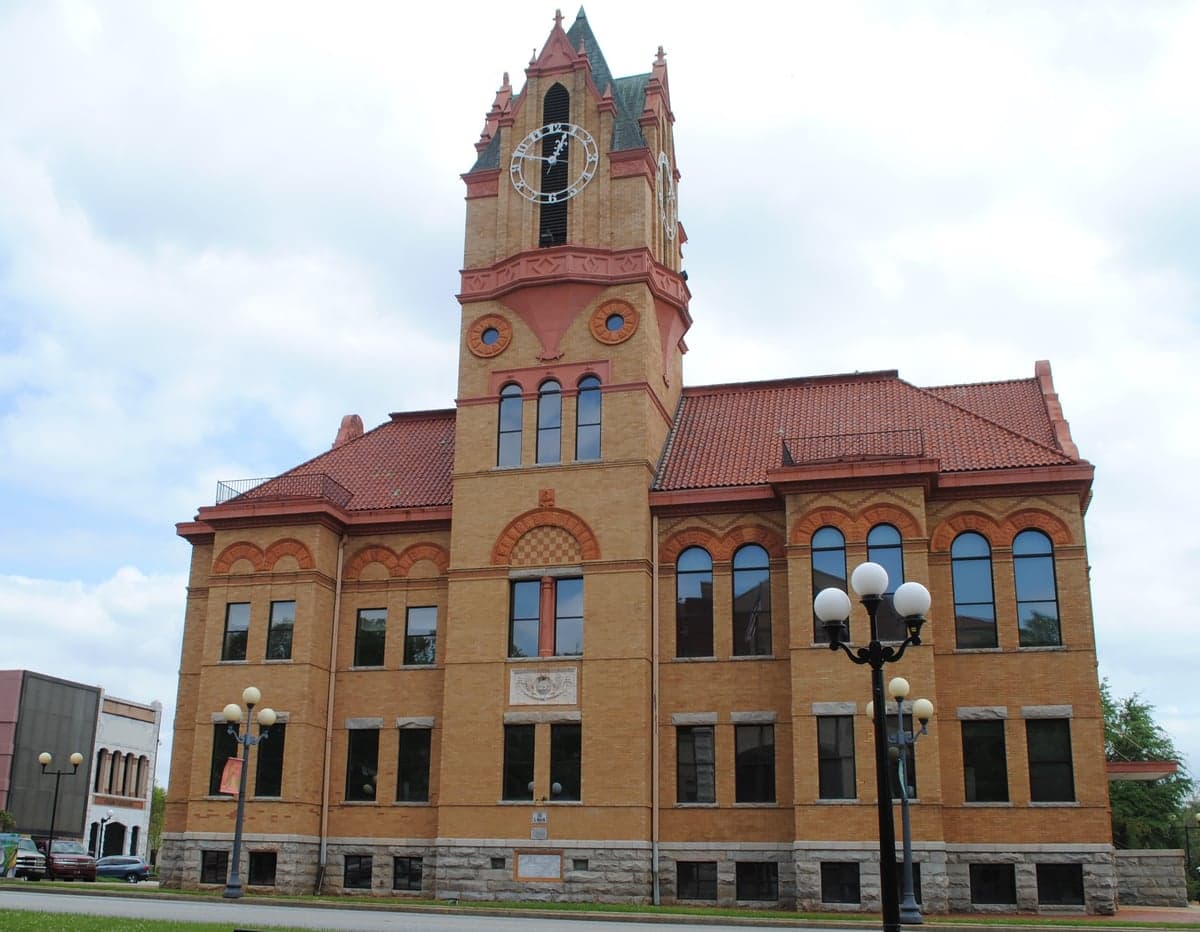
Photo: Wikipedia
Strategic Assessment of Anderson County
Workable tactical position. Some exposure to population density or targets, but generally defensible in a crisis.
What does the Strategic Assessment tell us?
Our Strategic Assessment grades tactical survivability of an area. Major population centers, military targets, fallout zones, natural disasters, and border exposure all drive risk — lower exposure means a more defensible position in a crisis.
This is heavily inspired by Joel Skousen's Strategic Relocation book. Highly recommended you checkout the book ($)What does this tell us?
Our Strategic Assessment grades tactical survivability of an area. Major population centers, military targets, fallout zones, natural disasters, and border exposure all drive risk — lower exposure means a more defensible position in a crisis.
This is heavily inspired by Joel Skousen's Strategic Relocation book. Highly recommended you checkout the book ($)Strategic Pillars

Key Distances
Strategic Assessment Analysis
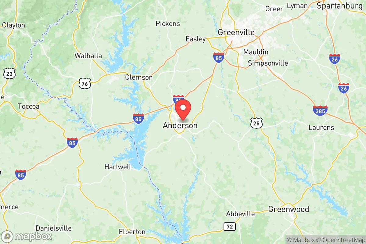
Anderson County, South Carolina, occupies a strategic position in the Upstate region that balances proximity to major economic hubs with a degree of geographic insulation, making it a noteworthy consideration for those prioritizing resilience and self-sufficiency. Located roughly 30 miles southwest of Greenville and about 100 miles northwest of Columbia, the county sits at the intersection of I-85 and I-185, offering practical access to urban resources without being directly exposed to the vulnerabilities of a dense metropolitan core. For a relocator thinking seriously about disaster readiness, Anderson County presents a mixed picture: strong natural advantages in water and topography, but real exposure to risks from nearby industrial and military infrastructure that warrant careful evaluation.
Geographic position and natural advantages for long-term stability
Anderson County's position in the Piedmont region provides a landscape of rolling hills, mixed hardwood forests, and a temperate climate that avoids the extremes of coastal hurricane zones and inland tornado alleys. The county is anchored by Lake Hartwell, a 56,000-acre reservoir created by the U.S. Army Corps of Engineers, which serves as a massive, reliable freshwater source and a buffer against drought. The Savannah River forms the county's western border, offering additional water security and a natural boundary that limits urban sprawl from Georgia. The terrain itself is a practical asset: the hills and valleys provide natural drainage, reduce flood risk compared to coastal plains, and offer numerous defensible building sites with good visibility and separation from main roads. The county seat, Anderson, sits at roughly 800 feet elevation, while areas near the lake and river valleys are lower but still well above sea-level concerns. This topography also supports a longer growing season than much of the Northeast or Midwest, with USDA Hardiness Zone 7b/8a conditions that allow for year-round food production with proper planning.
Risks, exposures, and proximity to fallout-relevant landmarks
The most significant risk factor for Anderson County is its proximity to the Savannah River Site (SRS), a 310-square-mile U.S. Department of Energy nuclear reservation located roughly 40 miles south, straddling the South Carolina-Georgia border. SRS is a former nuclear weapons production facility that now handles tritium processing, nuclear waste storage, and environmental cleanup. While the site has a robust safety record, a major incident — whether accidental or targeted — could produce a radioactive plume that, depending on wind patterns, could affect Anderson County. Prevailing winds in the region are from the southwest, meaning the county is downwind of SRS for a significant portion of the year. This is a concrete consideration for anyone evaluating fallout risk and should be weighed against the county's other advantages. Additionally, Greenville-Spartanburg International Airport (GSP) and the I-85 corridor are potential targets in a broader conflict scenario, though they are not high-value military targets. The nearest major military installation is Fort Jackson near Columbia, about 100 miles southeast, which is a large Army training base but not a primary strategic target. Natural disaster risks are moderate: the region experiences occasional ice storms, severe thunderstorms, and the rare tornado (typically EF-0 to EF-2), but it lies outside the highest-risk zones for hurricanes, earthquakes, and wildfires. Flooding is localized and generally manageable, concentrated near the Savannah River and smaller creeks during heavy rain events.
Practical resilience for a relocator: food, water, energy, and defensibility
For someone serious about self-sufficiency, Anderson County offers several structural advantages. Water is the strongest asset: Lake Hartwell and the Savannah River provide an essentially unlimited freshwater supply for households and small-scale agriculture, assuming proper filtration and storage. The county's water table is generally high in the river valleys, making well drilling viable in many rural areas. Agricultural potential is solid but not exceptional — the Piedmont's clay-loam soils require amendment for intensive row cropping, but they support excellent pasture, orchards, and market gardens. The growing season runs from mid-April to mid-October, and the county has a strong local farming community with several active farmers' markets and a cooperative extension office that offers practical resources. Energy resilience is mixed: Duke Energy provides grid power, and outages during storms are common but typically short (a few hours to a day). Solar potential is good, with roughly 4.5 peak sun hours per day, and the county's zoning is generally favorable for off-grid systems, though permits are required. Natural gas is available in more developed areas but not in rural parts, so propane or wood heating is common. Defensibility is a nuanced topic: the county's rural areas offer good separation between properties, with many parcels of 5-20 acres that provide buffer zones and privacy. The terrain allows for natural observation points, and the network of secondary roads offers multiple egress routes if primary highways like I-85 become compromised. However, the county's population of roughly 200,000 means that complete isolation is not realistic — the town of Williamston and the city of Belton are smaller communities that may appeal to those seeking a lower profile than Anderson proper. Crime rates in the rural parts of the county are low, but property crime in Anderson city is slightly above the national average, which is a consideration for those leaving a home unattended for extended periods.
The overall strategic picture for Anderson County is one of moderate resilience with a single significant vulnerability. The water security, defensible terrain, and agricultural potential are genuine assets that few other regions in the Southeast can match at a comparable price point. The proximity to the Savannah River Site is the factor that demands the most serious consideration — it is not a dealbreaker for everyone, but it is a concrete risk that should be factored into any relocation decision. For a family or individual who values a balance of access to urban amenities (Greenville's healthcare and employment, Clemson University's resources) and the ability to build a self-sufficient lifestyle on a manageable property, Anderson County is a strong candidate. The key is to choose a location carefully: properties north and east of Anderson city, away from the Savannah River corridor and with good elevation, offer the best combination of safety, water access, and long-term stability.

* Values derived from national, state, county, city and local statistics and may differ in a specific area. Last updated: 2026-07-09T05:58:02.000Z
Narrative content on this page is AI-generated and may contain mistakes. Verify any details that matter before acting on them.
ReloMaps may earn a commission from affiliate links at no extra cost to you.

