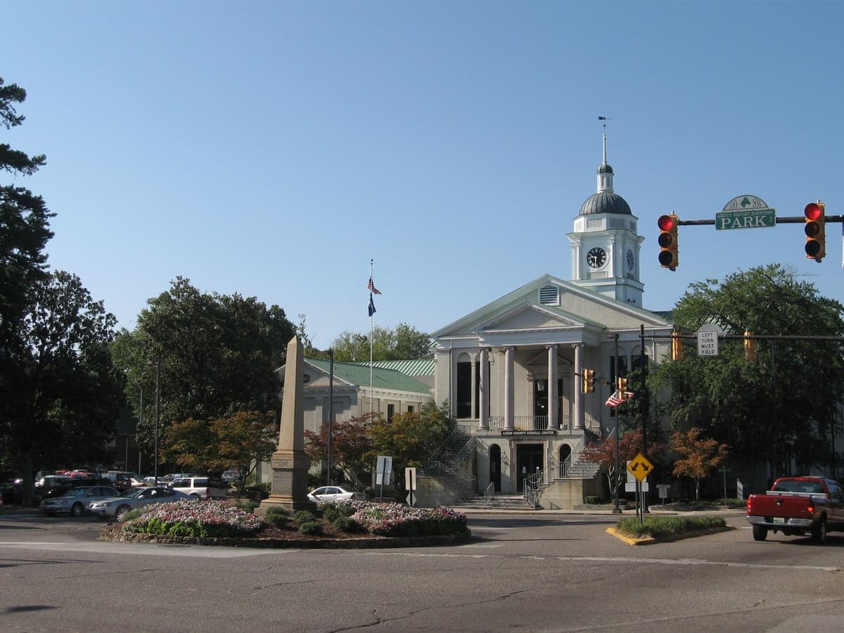
Photo: Wikipedia
Strategic Assessment of Aiken County
Workable tactical position. Some exposure to population density or targets, but generally defensible in a crisis.
What does the Strategic Assessment tell us?
Our Strategic Assessment grades tactical survivability of an area. Major population centers, military targets, fallout zones, natural disasters, and border exposure all drive risk — lower exposure means a more defensible position in a crisis.
This is heavily inspired by Joel Skousen's Strategic Relocation book. Highly recommended you checkout the book ($)What does this tell us?
Our Strategic Assessment grades tactical survivability of an area. Major population centers, military targets, fallout zones, natural disasters, and border exposure all drive risk — lower exposure means a more defensible position in a crisis.
This is heavily inspired by Joel Skousen's Strategic Relocation book. Highly recommended you checkout the book ($)Strategic Pillars

Key Distances
Strategic Assessment Analysis
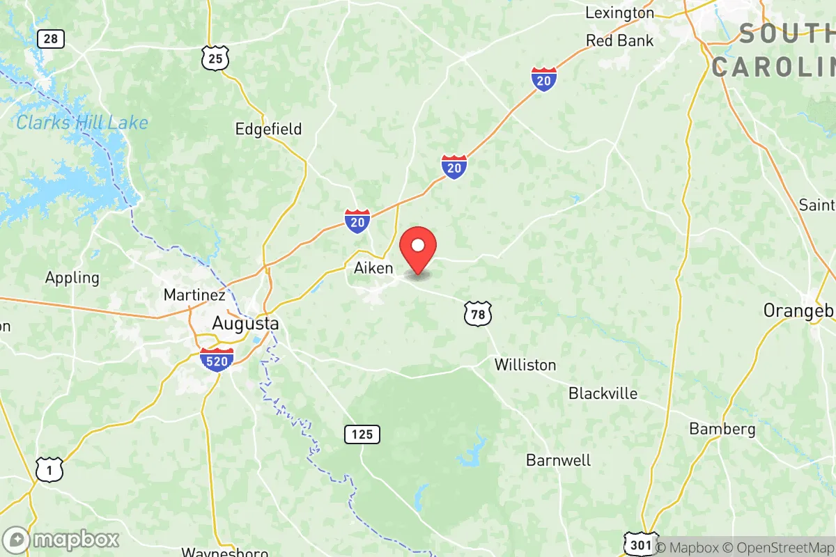
Aiken County, South Carolina, occupies a strategic position in the southeastern United States that balances proximity to major economic centers with a degree of geographic insulation that appeals to relocation-minded individuals and families focused on resilience and self-sufficiency. Situated roughly midway between the metropolitan areas of Augusta, Georgia, and Columbia, South Carolina, the county offers access to regional infrastructure without being directly exposed to the fallout risks associated with dense urban cores. Its location along the fall line—the geological boundary between the Piedmont and the Coastal Plain—provides natural advantages in terms of water resources, elevation, and soil composition that are often overlooked in standard relocation assessments. For a reader weighing disaster readiness alongside everyday livability, Aiken County presents a case study in balancing opportunity with precaution.
Geographic position and natural advantages for long-term stability
Aiken County’s geography is defined by its position on the Savannah River, which forms its western border and provides a reliable freshwater source that is less vulnerable to saltwater intrusion or storm surge than coastal rivers. The county sits at an average elevation of around 500 feet above sea level, placing it well above the flood-prone coastal plains of Charleston or Savannah. This elevation, combined with well-drained sandy loam soils, reduces the risk of catastrophic flooding even during heavy rainfall events. The fall line itself creates a series of small rapids and waterfalls that historically powered mills, but for modern relocators it signals a transition zone where groundwater is more accessible and less brackish than in lower-lying areas. The county’s interior location also means it is shielded from the direct impacts of hurricanes, which typically lose strength as they move inland; Aiken County experiences tropical storm remnants rather than direct landfall, a meaningful distinction for property and infrastructure resilience. The presence of the Savannah River Site—a 310-square-mile U.S. Department of Energy nuclear reservation—is a double-edged sword, but from a purely geographic standpoint, the surrounding buffer zones and restricted access areas have preserved large tracts of undeveloped land that act as natural barriers to sprawl. Towns like Aiken, North Augusta, and Wagener benefit from this low-density development pattern, which reduces the concentration of targets and vulnerabilities.
Risk exposure, industrial hazards, and proximity to critical infrastructure
No resilience assessment is complete without acknowledging the risks that come with Aiken County’s industrial and military footprint. The Savannah River Site, while a major employer and economic anchor, is also a nuclear materials processing and tritium production facility. Any major incident at the site—whether accidental or intentional—would have regional consequences, though the facility’s security protocols and remote location within the county mitigate some of that risk. The county is also within 50 miles of Plant Vogtle, the nuclear power plant near Waynesboro, Georgia, which represents another potential hazard. For a relocator concerned with fallout and man-made disasters, these are real considerations that require honest evaluation. On the conventional side, Aiken County is not home to major petrochemical refineries or large-scale chemical manufacturing plants, which distinguishes it from areas like the Houston Ship Channel or the Louisiana Chemical Corridor. The closest major refinery is in Charleston, roughly 120 miles away, placing the county outside the immediate blast or toxic plume zones of such facilities. Military installations in the region include Fort Eisenhower (formerly Fort Gordon) near Augusta, a U.S. Army Cyber Command hub, and McEntire Joint National Guard Base in adjacent Richland County. While these are potential targets in a conflict scenario, their presence also means the area has a higher concentration of veterans, emergency responders, and logistical infrastructure that can be leveraged in a crisis. The county’s position relative to Interstate 20 and U.S. Highway 1 provides evacuation routes that run perpendicular to the coast, offering options for inland movement if coastal areas are threatened by hurricanes or other events.
Practical resilience for relocators: food, water, energy, and defensibility
For a family or individual serious about self-sufficiency, Aiken County offers a mix of rural and suburban environments that support practical resilience measures. The county’s agricultural sector is robust, with row crops like soybeans, corn, and cotton, as well as livestock operations and timber production. This means local food sources are available beyond what the grocery supply chain provides, and farmers’ markets in Aiken and North Augusta offer direct-to-consumer options. Water access is a strong point: the Savannah River is a major, perennial water source, and the county’s position on the fall line means private wells can be drilled with reasonable success in many areas, particularly outside the urbanized zones. The county’s electric grid is served primarily by Dominion Energy South Carolina and Aiken Electric Cooperative, a member-owned utility that has historically shown more resilience in storm events than investor-owned counterparts. Solar adoption is growing, and the county’s sunny climate supports off-grid energy supplementation. Defensibility is a more subjective factor, but Aiken County’s low population density—roughly 170 people per square mile compared to over 1,000 in nearby Columbia—means that rural properties offer natural separation and reduced competition for resources in a crisis scenario. The county’s network of secondary roads and unpaved farm tracks provides alternative movement corridors that are less likely to be congested than major highways. For a relocator thinking in terms of long-term preparedness, the combination of arable land, accessible water, and moderate climate (with no wildfire or earthquake risk to speak of) makes Aiken County a viable base of operations, provided the nuclear facilities in the region are acknowledged and planned around.
The overall strategic picture for Aiken County is one of qualified optimism. It offers a genuine balance between access to urban amenities—Augusta’s medical centers, Columbia’s state government resources, and the Savannah River Site’s high-tech employment—and the kind of geographic buffer that is increasingly rare in the eastern United States. The risks are real and should not be dismissed: the presence of nuclear infrastructure within and adjacent to the county is a legitimate concern that requires situational awareness and, for some, may be a dealbreaker. But for a relocator who values preparedness, community cohesion, and the ability to maintain a degree of self-sufficiency without complete isolation, Aiken County holds up well under scrutiny. It is not a bunker, nor is it a prepper’s paradise; it is a functioning, livable county where a thoughtful family can build a resilient life while staying connected to the broader region. The key is to choose a location within the county carefully—favoring the rural western and northern areas over the more developed corridors near Augusta—and to maintain an honest understanding of the industrial landscape that surrounds it.

* Values derived from national, state, county, city and local statistics and may differ in a specific area. Last updated: 2026-07-10T21:24:49.000Z
Narrative content on this page is AI-generated and may contain mistakes. Verify any details that matter before acting on them.
ReloMaps may earn a commission from affiliate links at no extra cost to you.

