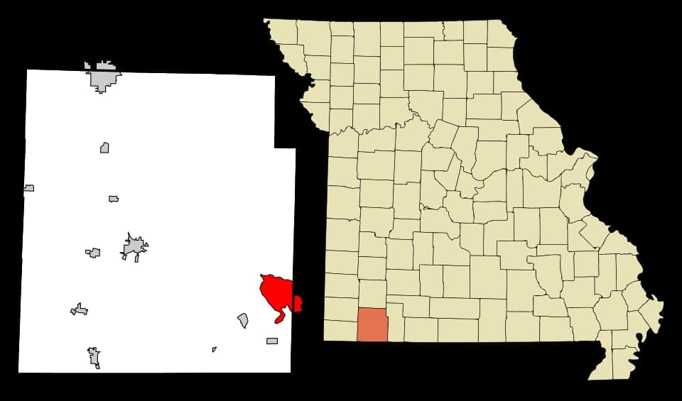
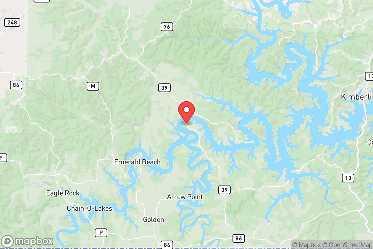
Photo: Wikipedia
Strategic Assessment of Shell Knob, MO
Strong survivability profile. Good buffer from population centers, with manageable environmental and tactical risks.
What does the Strategic Assessment tell us?
Our Strategic Assessment grades tactical survivability of an area. Major population centers, military targets, fallout zones, natural disasters, and border exposure all drive risk — lower exposure means a more defensible position in a crisis.
This is heavily inspired by Joel Skousen's Strategic Relocation book. Highly recommended you checkout the book ($)What does this tell us?
Our Strategic Assessment grades tactical survivability of an area. Major population centers, military targets, fallout zones, natural disasters, and border exposure all drive risk — lower exposure means a more defensible position in a crisis.
This is heavily inspired by Joel Skousen's Strategic Relocation book. Highly recommended you checkout the book ($)Strategic Pillars

Key Distances
Regional Safe Places
Below is our recommended "safe zones" in Missouri and the surrounding area based on our strategic heuristics. For most people, it's unrealistic to live in a “safe zone” full-time due to work, family or other personal reasons. They tend to be more rural. However, many of these areas are perfect for second homes and retreat properties that double as a vacation home or even a short-term rental.


Important Note: For informational purposes only. This does not mean nothing bad ever happens in the green zones. Please use common sense. This is based on public data and modeled with AI. We tried to take a conservative approach but mistakes happen. We update this regularly as new information becomes available.
Solar Generator Recommendations
Backup power matters more here than in safer locations. We've picked three solar generators across budgets and capacity tiers — start with the budget unit if you only need a few essentials, or step up if you want to run a fridge and HVAC for days at a time.
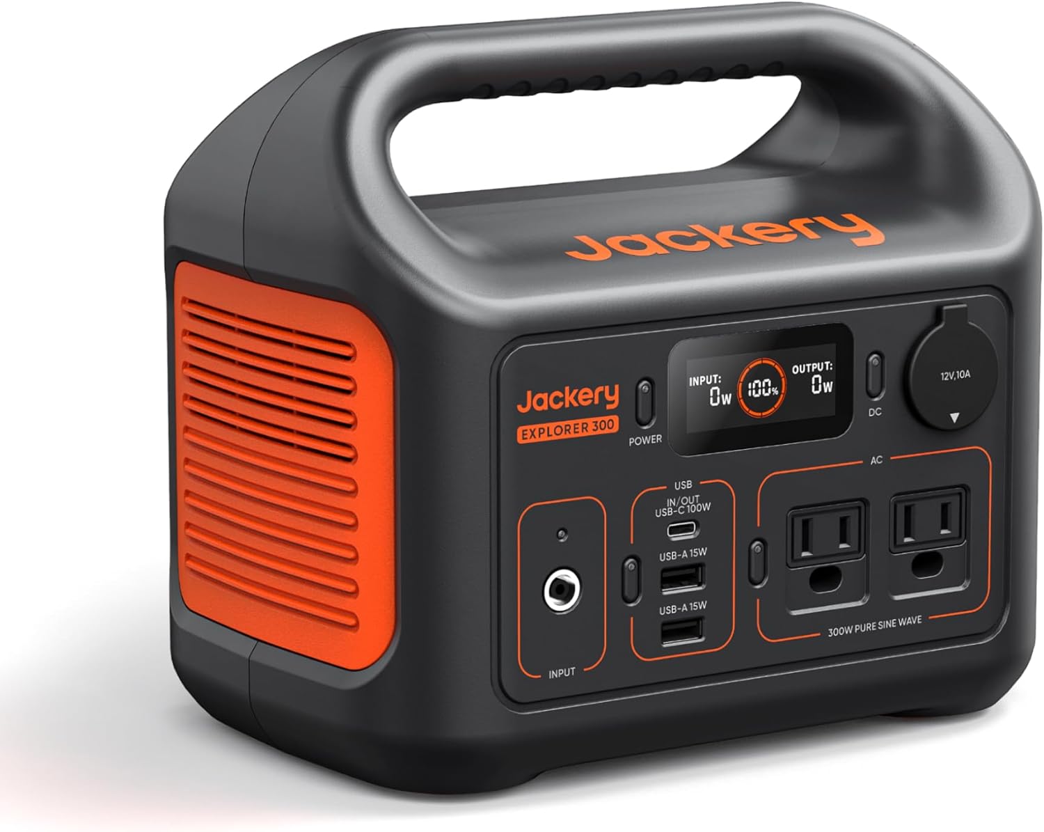
Jackery Portable Power Station Explorer 300
Budget OptionPower on the Go: Weighing only 11 lbs, it's convenient to set up and store with book-sized foldable solar panels

BLUETTI Portable Power Station AC180
Designed for both indoor and outdoor scenarios, AC180 is highly capable as it has a robost capacity and continuous output power.

EF ECOFLOW DELTA Pro Ultra Power Station
Upgraded PickEcoFlow DELTA Pro Ultra is a whole-home energy system designed to grow with your family. Integrated with the Smart Home Panel 2, it scales to meet your evolving energy needs — keeping your home powered, intelligent, and secure through every stage of life.
We earn a commission, at no additional cost to you.
Strategic Assessment Analysis
Shell Knob, Missouri, sits in a position that most of the Midwest simply cannot offer: a defensible, low-density pocket of the Ozarks with direct access to Table Rock Lake and roughly 40 miles of buffer from the nearest metropolitan area. For someone thinking in terms of strategic relocation, this is not just a pretty lake town—it is a geographic hedge against the cascading failures that tend to hit urban corridors first. The area combines the practical advantages of rural Missouri—low land costs, minimal zoning friction, and a deep-water reservoir—with a location that keeps major threat vectors at arm's length.
Geographic position and natural defensive advantages
Shell Knob's core strategic asset is the barrier created by Table Rock Lake and the surrounding Mark Twain National Forest parcels. The community is perched on the western shore of the lake's main channel, roughly 20 miles southwest of Cassville and about 30 miles from the Barry-Stone county line. That lake is not just scenery; it is a 43,000-acre water reserve that sits uphill from most of the region, meaning gravity-fed access is plausible for a property owner who plans ahead. The terrain itself—steep hollows, ridge lines, and narrow access roads—naturally funnels movement and makes the area far more defensible than flat, open farmland to the north.
The elevation advantage is real. Shell Knob sits at roughly 900 to 1,100 feet above sea level, with the lake at 931 feet. That puts it above the flood plains that plague communities along the Mississippi and Missouri rivers, and the rocky, well-drained soil means flash flooding is localized rather than regional. The nearest interstate, I-44, is about 45 minutes north, which is far enough to keep through-traffic and industrial logistics out of the immediate area but close enough for a supply run when conditions are normal. For a relocator, the calculus is simple: you are far enough from the sprawl of Springfield (about 60 miles northeast) and Fayetteville (about 50 miles southwest) to avoid their failure modes, yet close enough to reach real hospitals and big-box retail in under an hour.
Risk exposure and proximity to fallout-relevant landmarks
No location is risk-free, and Shell Knob has specific exposures that a serious planner should weigh. The most significant is the proximity to the North Anna-style nuclear infrastructure—though in this case, it is not a reactor but the region's reliance on the grid that feeds from the Southwest Power Pool. The nearest major energy generation is the coal and gas complex near Springfield, and a disruption there would affect the area just like anywhere else on the grid. However, the more relevant man-made risk is the transportation corridor along I-44, which carries hazardous materials daily. A derailment or tanker incident on that corridor is a localized event, not a regional one, and Shell Knob's distance mitigates most of the concern.
Natural hazards are more relevant than man-made ones here. The area sits in a moderate seismic zone—the New Madrid fault is about 200 miles southeast—so a major quake would be felt but not catastrophic. Tornado risk is real but lower than the plains to the west; the Ozark hills break up storm systems, and the lake effect moderates some severe weather. The bigger day-to-day risk is winter ice storms, which can take down power lines for days, and summer heat that can strain a poorly designed off-grid system. Wildfire risk is low but not zero, particularly in dry late-summer conditions when the oak-hickory forest becomes tinder. None of these are existential threats; they are the kind of challenges that a prepared household handles with redundancy.
Practical resilience for a relocator: food, water, energy, and defensibility
Water is where Shell Knob shines. Table Rock Lake is a 745-mile-shoreline reservoir that holds roughly 760 billion gallons, and it is the primary drinking water source for the region. A property with lake access or a well drilled into the Ozark aquifer has a water security profile that most of the country cannot match. The aquifer is deep and reliable, though well depth varies—expect 200 to 400 feet in the area, with good yield. For a household, a simple rainwater catchment system on a metal roof can supplement, and the lake itself is a viable backup source with proper filtration. The key is to test well water for hardness and occasional iron bacteria, which are common in the region.
Food security is a mixed bag. The growing season is about 180 days, which is workable but shorter than the South. The rocky soil requires raised beds or container gardening for serious production, but the area has a strong hunting culture—deer, turkey, and small game are abundant in the national forest and private timberland. Local agriculture is mostly cattle and hay, so fresh produce is not as readily available as in the Missouri River valley. That said, the proximity to Cassville and Berryville, Arkansas, means farmers' markets and bulk buying are feasible. For long-term storage, the low humidity in the Ozarks is a genuine advantage; a well-sealed pantry will keep grains and canned goods far longer than in coastal or humid climates.
Energy resilience is the area's weakest default position. The grid is rural, and outages are common during storms. Solar is viable—the region gets about 4.5 peak sun hours per day—and the hilly terrain allows for good southern exposure on many ridge-top properties. Propane is widely available and is the standard backup for heating and cooking. Wood heat is a practical option, as the area has abundant oak and hickory, and most rural properties have space for a woodlot. The defensibility question comes down to access. Many Shell Knob properties are on narrow, winding county roads that can become impassable in ice or heavy rain. A relocator should prioritize a property with at least two access routes, or a 4WD vehicle and a winch, to avoid being trapped by a single downed tree or washed-out culvert.
The overall strategic picture for Shell Knob is favorable for a relocator who values independence over convenience. It is not a bug-out bunker location—it is a working, livable community with a real grocery store, a hardware store, and a clinic, which matters more than any theoretical survival scenario. The combination of a massive water reservoir, low population density (roughly 30 people per square mile in Barry County), and distance from major infrastructure targets gives it a resilience profile that ranks well above most of the Midwest. The trade-offs are real: limited employment, a long drive for specialized medical care, and a social environment that expects self-reliance. For a family or individual who wants to be left alone, prepared for the long game, and positioned to ride out regional disruptions without being a target, Shell Knob is a legitimate, grounded choice—not a fantasy, but a solid strategic position with the lake as its ace in the hole.

* Values derived from national, state, county, city and local statistics and may differ in a specific area. Last updated: 2026-11-01T00:44:28.000Z
Narrative content on this page is AI-generated and may contain mistakes. Verify any details that matter before acting on them.
ReloMaps may earn a commission from affiliate links at no extra cost to you.

