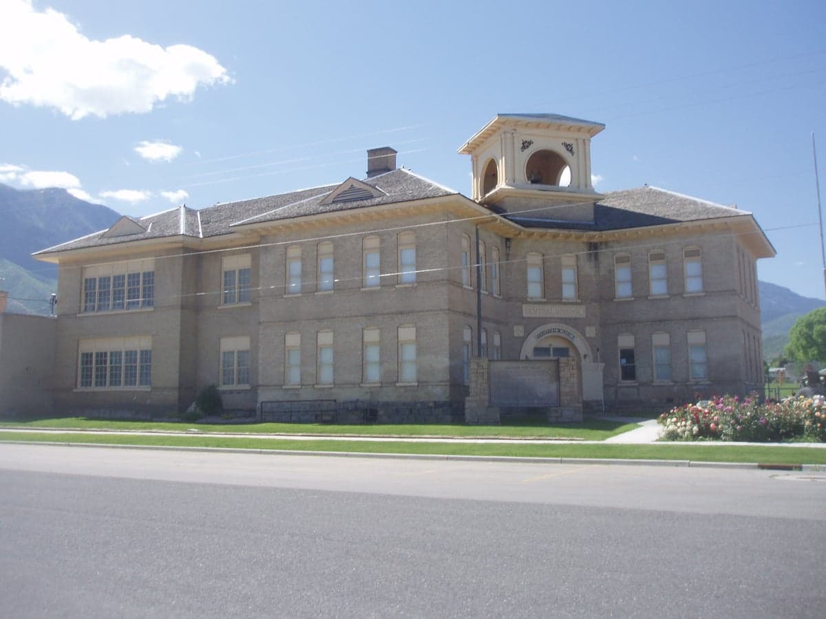
Photo: Wikipedia
Strategic Assessment of Santaquin, UT
Workable tactical position. Some exposure to population density or targets, but generally defensible in a crisis.
What does the Strategic Assessment tell us?
Our Strategic Assessment grades tactical survivability of an area. Major population centers, military targets, fallout zones, natural disasters, and border exposure all drive risk — lower exposure means a more defensible position in a crisis.
This is heavily inspired by Joel Skousen's Strategic Relocation book. Highly recommended you checkout the book ($)What does this tell us?
Our Strategic Assessment grades tactical survivability of an area. Major population centers, military targets, fallout zones, natural disasters, and border exposure all drive risk — lower exposure means a more defensible position in a crisis.
This is heavily inspired by Joel Skousen's Strategic Relocation book. Highly recommended you checkout the book ($)Strategic Pillars

Key Distances
Regional Safe Places
Below is our recommended "safe zones" in Utah and the surrounding area based on our strategic heuristics. For most people, it's unrealistic to live in a “safe zone” full-time due to work, family or other personal reasons. They tend to be more rural. However, many of these areas are perfect for second homes and retreat properties that double as a vacation home or even a short-term rental.


Important Note: For informational purposes only. This does not mean nothing bad ever happens in the green zones. Please use common sense. This is based on public data and modeled with AI. We tried to take a conservative approach but mistakes happen. We update this regularly as new information becomes available.
Solar Generator Recommendations
Backup power matters more here than in safer locations. We've picked three solar generators across budgets and capacity tiers — start with the budget unit if you only need a few essentials, or step up if you want to run a fridge and HVAC for days at a time.
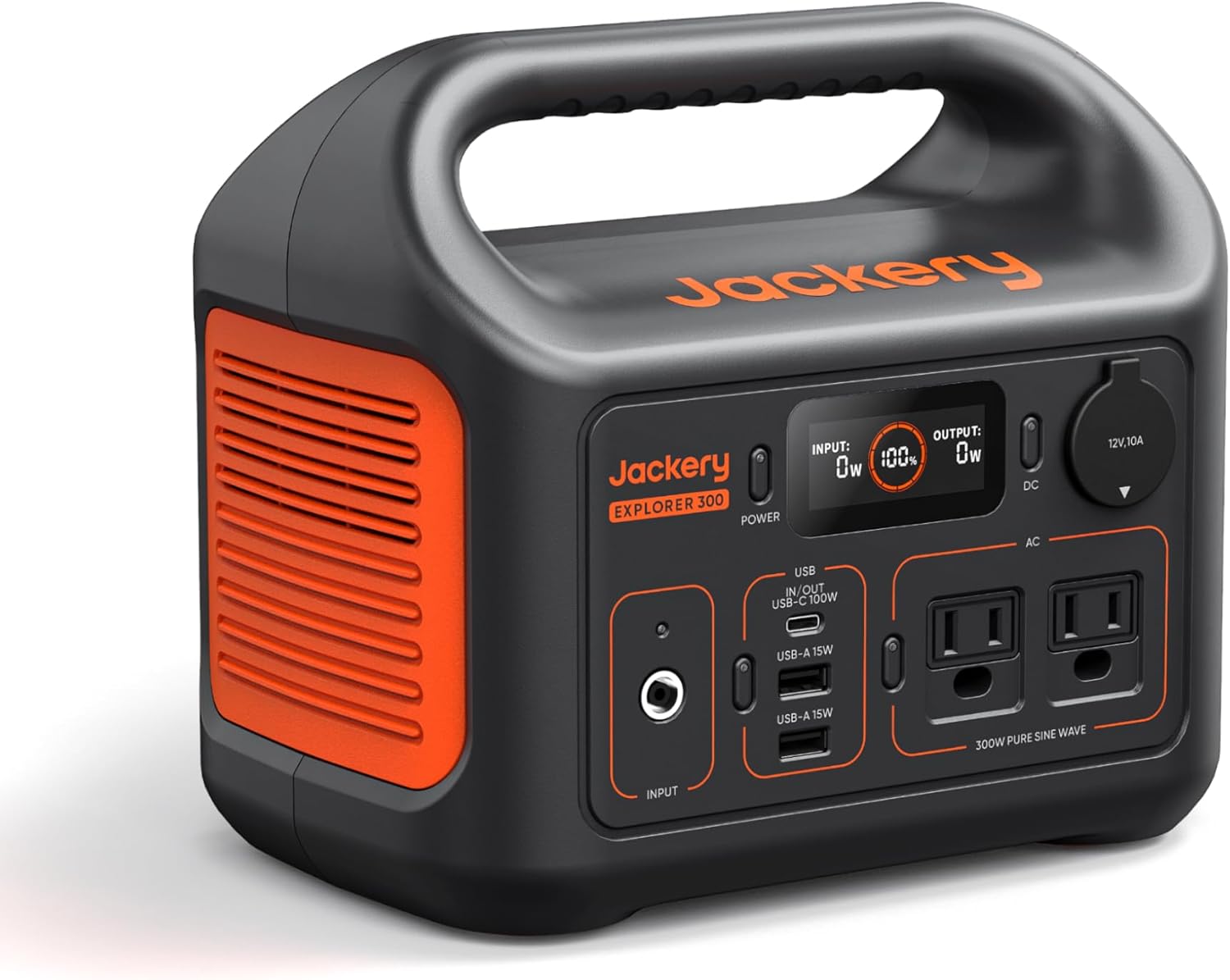
Jackery Portable Power Station Explorer 300
Budget OptionPower on the Go: Weighing only 11 lbs, it's convenient to set up and store with book-sized foldable solar panels

BLUETTI Portable Power Station AC180
Designed for both indoor and outdoor scenarios, AC180 is highly capable as it has a robost capacity and continuous output power.

EF ECOFLOW DELTA Pro Ultra Power Station
Upgraded PickEcoFlow DELTA Pro Ultra is a whole-home energy system designed to grow with your family. Integrated with the Smart Home Panel 2, it scales to meet your evolving energy needs — keeping your home powered, intelligent, and secure through every stage of life.
We earn a commission, at no additional cost to you.
Strategic Assessment Analysis
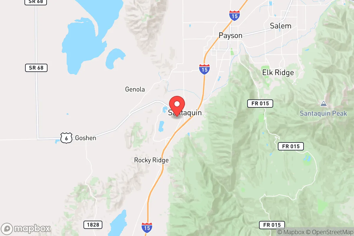
Santaquin, Utah, occupies a strategic position that balances proximity to major economic corridors with a degree of geographic separation that appeals to relocation-minded individuals and families focused on resilience and self-sufficiency. Nestled at the southern end of Utah County, roughly 60 miles south of Salt Lake City and 15 miles south of Provo, the city sits at the base of the Wasatch Range, where the valley floor meets the foothills of the Loafer Mountain and Santaquin Peak. This location offers a blend of access to urban resources and a buffer from the densest population centers, making it a serious consideration for those evaluating disaster readiness and long-term preparedness.
Geographic position and natural advantages for self-sufficiency
Santaquin’s geography provides several inherent advantages for a self-sufficient lifestyle. The city lies in the Utah Valley, a broad, irrigated basin fed by the Spanish Fork and its tributaries, which flow from the Wasatch Mountains. This water availability is a critical asset: the area receives roughly 16 inches of annual precipitation, but the snowpack in the nearby mountains—particularly the Santaquin Canyon and Loafer Mountain watersheds—provides a reliable spring and summer melt that supports agriculture and domestic wells. The surrounding landscape includes a mix of benchlands, foothills, and canyon terrain, offering defensible positions for those seeking property with natural barriers. The elevation, around 5,000 feet, moderates summer heat and reduces wildfire risk compared to lower-elevation desert communities, though it does introduce cold winters and occasional heavy snowfall. The city’s position at the southern edge of Utah County also places it near the transition to the more arid Juab County, which means less competition for land and water resources than in the densely populated northern Utah Valley. For a relocator, this translates to more affordable acreage and a lower population density—roughly 1,500 people per square mile in the city proper, with much sparser settlement in the surrounding unincorporated areas.
Risks, exposures, and proximity to fallout-relevant landmarks
While Santaquin’s location offers natural buffers, it is not immune to risks that a disaster-conscious relocator must weigh. The primary natural hazard is seismic activity: the Wasatch Fault runs through the region, and a major earthquake (magnitude 7.0 or greater) is considered a credible threat by the Utah Geological Survey. Such an event could disrupt transportation corridors, including Interstate 15, which runs directly through Santaquin, and the Union Pacific rail line that parallels it. Ground shaking, liquefaction in valley-bottom soils, and potential landslides in the foothills are realistic concerns. Wildfire risk is moderate but present, particularly in the benchlands and canyon areas where dry brush and pines meet residential development; the 2018 Pole Creek Fire near Spanish Fork Canyon demonstrated how quickly a fire can threaten the southern Utah Valley. Flooding from snowmelt or intense summer thunderstorms is localized but possible in low-lying areas near the Spanish Fork River.
More critically for a strategic assessment, Santaquin’s proximity to high-value targets in the Salt Lake City–Provo corridor introduces man-made risks. The city is roughly 50 miles from Hill Air Force Base, a major military installation that houses F-35 fighter wings and is a potential target in a conflict scenario. The nearby Utah Test and Training Range, used for weapons testing, and the Tooele Army Depot, which stores chemical munitions, are within 60–80 miles. In a nuclear exchange, Santaquin would be downwind of prevailing westerly winds from these sites, though the distance provides some dilution of fallout. The city’s position south of Provo and west of the Wasatch Front means it is less exposed than communities directly along the I-15 corridor north of Salt Lake City, but it is not a remote redoubt. The presence of the Santaquin Canyon and the Nebo Loop Road offers potential egress routes into the Uinta National Forest and the high desert of Juab County, but these are limited and could become congested in a crisis.
Practical resilience for a relocator: food, water, energy, and defensibility
For a family or individual serious about self-sufficiency, Santaquin’s practical resilience is a mixed picture that requires deliberate planning. Water is the strongest asset: the city’s municipal water comes from the Santaquin Canyon watershed, and many rural properties have access to private wells or shares in irrigation companies that draw from the Spanish Fork River. The local agricultural heritage—Santaquin is known for its cherry orchards and hay fields—means that soil quality and growing conditions are favorable for home gardening and small-scale farming. The growing season is short, roughly 120–150 frost-free days, but cool-season crops like potatoes, carrots, and leafy greens thrive, and the area’s microclimate supports fruit trees. Local food production is bolstered by the presence of the Santaquin Farmers Market and nearby farm stands, though reliance on the industrial food system is still the norm for most residents.
Energy resilience is less robust. The grid is served by Rocky Mountain Power, with power lines running along the I-15 corridor that are vulnerable to weather and seismic events. Solar potential is excellent—the area averages over 220 sunny days per year—but net metering policies and upfront costs can be barriers. Natural gas is available in the city limits, but rural properties often rely on propane or wood heating. For defensibility, Santaquin’s layout offers some advantages: the city is compact, with a grid of streets that can be barricaded, and the surrounding foothills provide natural observation points. However, the I-15 corridor is a double-edged sword—it provides rapid access to supplies but also makes the area a potential thoroughfare for displaced populations from the north. The local police force is small (roughly 10–12 officers), and the Utah County Sheriff’s Office provides backup, but a large-scale event would likely overwhelm local law enforcement. The community’s strong LDS (Mormon) cultural presence fosters a network of church-based preparedness programs, including food storage and emergency response training, which can be a significant asset for newcomers willing to integrate.
The overall strategic picture for a disaster-conscious relocator
Santaquin offers a credible middle ground for the relocator who wants to be within striking distance of urban jobs and services while maintaining a viable fallback position. Its water availability, agricultural potential, and moderate population density make it a more practical choice than the exurban sprawl of northern Utah County or the arid isolation of central Utah. The risks are real but manageable with preparation: seismic retrofitting, a well-stocked pantry, a backup power system, and a plan for egress into the Uinta or Fishlake National Forests. The proximity to Hill Air Force Base and the I-15 corridor is a strategic liability, but the distance and terrain provide a buffer that many other Wasatch Front communities lack. For a family willing to invest in land, water rights, and community ties, Santaquin represents a defensible, resource-rich base that balances access with resilience—provided the relocator treats it as a starting point for self-sufficiency, not a finished solution.

* Values derived from national, state, county, city and local statistics and may differ in a specific area. Last updated: 2026-11-06T03:22:22.000Z
Narrative content on this page is AI-generated and may contain mistakes. Verify any details that matter before acting on them.
ReloMaps may earn a commission from affiliate links at no extra cost to you.

