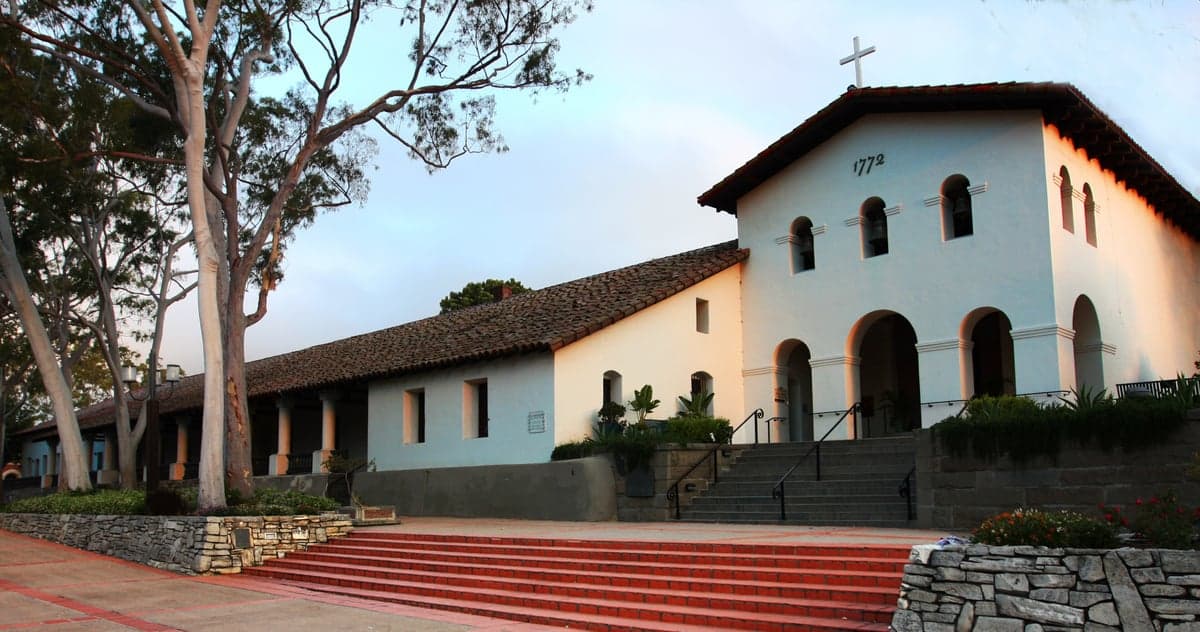
Photo: Wikipedia
Strategic Assessment of San Luis Obispo, CA
Multiple tactical vulnerabilities. Population density, target proximity, or disaster risk are likely compounding. A retreat property and exit planning is required.
What does the Strategic Assessment tell us?
Our Strategic Assessment grades tactical survivability of an area. Major population centers, military targets, fallout zones, natural disasters, and border exposure all drive risk — lower exposure means a more defensible position in a crisis.
This is heavily inspired by Joel Skousen's Strategic Relocation book. Highly recommended you checkout the book ($)What does this tell us?
Our Strategic Assessment grades tactical survivability of an area. Major population centers, military targets, fallout zones, natural disasters, and border exposure all drive risk — lower exposure means a more defensible position in a crisis.
This is heavily inspired by Joel Skousen's Strategic Relocation book. Highly recommended you checkout the book ($)Strategic Pillars

Key Distances
Regional Safe Places
Below is our recommended "safe zones" in California and the surrounding area based on our strategic heuristics. For most people, it's unrealistic to live in a “safe zone” full-time due to work, family or other personal reasons. They tend to be more rural. However, many of these areas are perfect for second homes and retreat properties that double as a vacation home or even a short-term rental.




Important Note: For informational purposes only. This does not mean nothing bad ever happens in the green zones. Please use common sense. This is based on public data and modeled with AI. We tried to take a conservative approach but mistakes happen. We update this regularly as new information becomes available.
Solar Generator Recommendations
Backup power matters more here than in safer locations. We've picked three solar generators across budgets and capacity tiers — start with the budget unit if you only need a few essentials, or step up if you want to run a fridge and HVAC for days at a time.

Jackery Portable Power Station Explorer 300
Budget OptionPower on the Go: Weighing only 11 lbs, it's convenient to set up and store with book-sized foldable solar panels

BLUETTI Portable Power Station AC180
Designed for both indoor and outdoor scenarios, AC180 is highly capable as it has a robost capacity and continuous output power.

EF ECOFLOW DELTA Pro Ultra Power Station
Upgraded PickEcoFlow DELTA Pro Ultra is a whole-home energy system designed to grow with your family. Integrated with the Smart Home Panel 2, it scales to meet your evolving energy needs — keeping your home powered, intelligent, and secure through every stage of life.
We earn a commission, at no additional cost to you.
Strategic Assessment Analysis
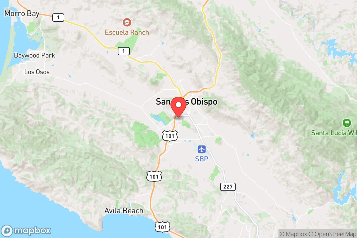
San Luis Obispo (SLO) occupies a strategic niche along California’s Central Coast that offers a rare blend of natural isolation and moderate self-sufficiency, making it a noteworthy option for relocation-minded readers who prioritize disaster readiness. Positioned roughly halfway between Los Angeles and San Francisco, the city sits in a valley ringed by the Santa Lucia and San Luis ranges, with the Pacific Ocean providing a western buffer. This geography creates a natural choke point: the only major highway access is US-101, which snakes through the Cuesta Grade north of town and the narrow Gaviota Pass to the south, both of which can be easily disrupted by landslides, wildfires, or coordinated roadblocks. For a reader thinking seriously about resilience, SLO’s relative remoteness from major metropolitan centers is a double-edged sword—it offers distance from urban chaos but also limits rapid evacuation options. The area’s Mediterranean climate, with mild, wet winters and dry summers, supports year-round outdoor activity and reduces the risk of extreme cold or heat events, though the summer drought cycle is a persistent concern. Overall, SLO’s location provides a defensible position with manageable exposure to the most catastrophic scenarios, provided one plans for the region’s specific vulnerabilities.
Geographic position and natural advantages for long-term stability
San Luis Obispo’s geographic setting is defined by its position in a coastal valley, shielded from the open ocean by the Irish Hills and the Santa Lucia Range. This topography moderates temperatures—summer highs average in the low 80s, winter lows in the mid-40s—and reduces the risk of direct hurricane-force winds or storm surges that plague coastal cities like Morro Bay or Pismo Beach. The surrounding mountains also create a rain shadow effect, meaning SLO receives about 20 inches of precipitation annually, less than the coastal fog belt but enough to support local agriculture. The city’s elevation (roughly 300 feet above sea level) keeps it above most tsunami inundation zones, and the nearest fault lines—the San Andreas, which runs about 40 miles east, and the Hosgri, offshore—are distant enough that the area rarely experiences the violent shaking seen in the Bay Area or Los Angeles. For a relocator, the key advantage is the ability to live in a moderate climate without the extreme weather events that hammer other parts of the country: no hurricanes, no tornadoes, no blizzards, and only occasional heatwaves. The natural barriers also provide a degree of physical security—the Cuesta Grade, for example, is a steep, winding stretch of US-101 that can be closed with minimal effort, effectively cutting off the north-south corridor. This makes SLO a natural redoubt in a scenario where coastal highways become impassable or contested.
Risks, exposures, and proximity to fallout-relevant landmarks
Despite its natural advantages, San Luis Obispo is not immune to significant risks, and the most pressing for a resilience-minded reader are wildfire, earthquake, and proximity to potential secondary targets. The area sits in a high-fire-risk zone, with the 2020 Dolan Fire and the 2021 Alisal Fire burning within 20 miles of the city limits, threatening both rural homes and the main power lines that feed the region. The Diablo Canyon Nuclear Power Plant, located just 12 miles west of SLO on the coast, is a critical piece of infrastructure that has been a source of controversy for decades. While the plant is scheduled to close by 2030, it remains operational and is situated near the Hosgri fault, which could produce a magnitude 7.5 earthquake. In a worst-case scenario, a major quake or sabotage at Diablo Canyon could release radioactive material, and SLO’s position in the prevailing wind pattern (onshore flow from the ocean) means that any plume would be pushed inland, directly over the city and the surrounding agricultural valleys. Additionally, the city is within 100 miles of Vandenberg Space Force Base, a launch site for intercontinental ballistic missiles and spy satellites, which could be a target in a conflict involving strategic assets. For a relocator, these exposures mean that SLO is not a true “fallout-free” zone—it sits within the blast radius of a potential nuclear incident at Diablo Canyon and within the secondary fallout zone of a strike on Vandenberg. The risk is low-probability but high-consequence, and it should be weighed against the area’s otherwise strong defensive geography.
Practical resilience for a relocator: food, water, energy, and defensibility
On the practical side, San Luis Obispo offers a moderate level of self-sufficiency that can be improved with planning. The surrounding county, San Luis Obispo County, is a major agricultural producer, with over 1,000 farms growing everything from wine grapes and avocados to strawberries and cattle. The Edna Valley and Paso Robles wine regions are within a 30-minute drive, and the local farmers’ markets (held year-round in downtown SLO) provide access to fresh produce even in winter. For water, the city relies on the Whale Rock Reservoir and the Salinas River basin, both of which are vulnerable to drought—the 2012-2016 California drought saw mandatory water restrictions, and the region’s groundwater is being depleted faster than it can recharge. A relocator would be wise to invest in rainwater catchment (the area gets enough rain to fill a 1,000-gallon tank from a typical roof) and a backup well if purchasing rural property. Energy is a mixed bag: the grid is served by PG&E, which has a poor track record for reliability, especially during fire season when public safety power shutoffs (PSPS) are common. Solar panels are a strong investment here, as the region averages 280 sunny days per year, and battery storage (like a Tesla Powerwall) can provide backup during grid outages. For defensibility, SLO’s layout is a double-edged sword: the downtown core is compact and walkable, but the suburban sprawl into the foothills (e.g., the Los Osos Valley) creates long, narrow roads that are easy to block. The city’s police force is well-funded relative to its size (about 100 officers for 47,000 residents), but in a prolonged crisis, the county sheriff’s office would be the primary authority for rural areas. The presence of California Polytechnic State University (Cal Poly) adds a population of 20,000 students, which could strain resources in a collapse scenario but also provides a pool of skilled labor (engineering, agriculture, veterinary science) that could be invaluable for rebuilding.
In the final strategic assessment, San Luis Obispo presents a viable but not ideal option for the resilience-minded relocator. Its geographic isolation, moderate climate, and agricultural base offer a solid foundation for long-term stability, and the distance from major urban centers reduces the risk of being caught in a mass evacuation or civil unrest event. However, the proximity to Diablo Canyon and Vandenberg introduces a non-trivial risk of radiological or strategic-target fallout that cannot be ignored. For a single individual or family willing to invest in solar, water storage, and a well-stocked pantry, SLO can be a defensible and comfortable home base—provided they are prepared to bug in during a fire or earthquake and have a plan for relocating inland if the nuclear threat materializes. The area’s real strength is its balance: it is not a hardened bunker, but it is also not a glass-jawed suburb. For the reader who wants a place that is pleasant to live in day-to-day while still offering a fighting chance in a crisis, San Luis Obispo earns a cautious recommendation, with the caveat that no location in California is truly safe from the state’s inherent risks.

* Values derived from national, state, county, city and local statistics and may differ in a specific area. Last updated: 2026-08-03T15:48:31.000Z
Narrative content on this page is AI-generated and may contain mistakes. Verify any details that matter before acting on them.
ReloMaps may earn a commission from affiliate links at no extra cost to you.

