 Popular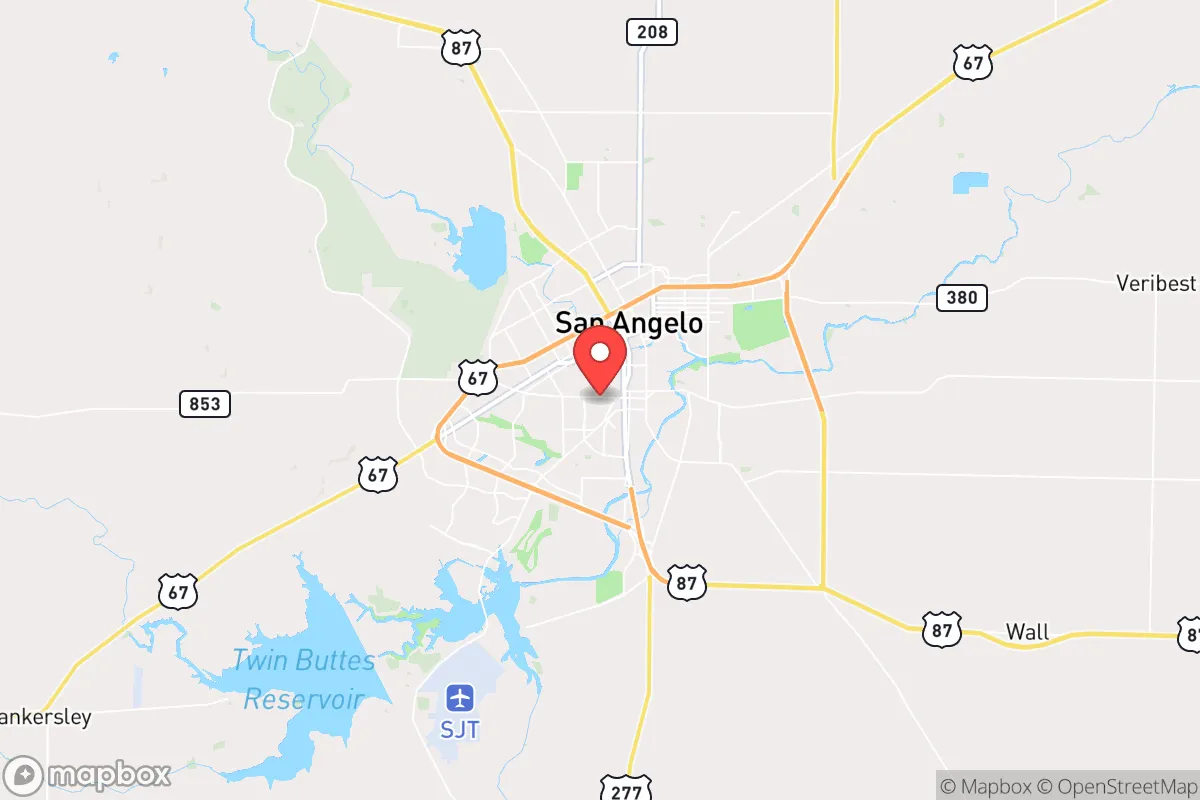
Strategic Assessment of San Angelo, TX
Meaningful friction. Expect exposure to either population pressure, blast zones, or natural disaster risk. Consider buying a retreat property.
What does the Strategic Assessment tell us?
Our Strategic Assessment grades tactical survivability of an area. Major population centers, military targets, fallout zones, natural disasters, and border exposure all drive risk — lower exposure means a more defensible position in a crisis.
This is heavily inspired by Joel Skousen's Strategic Relocation book. Highly recommended you checkout the book ($)What does this tell us?
Our Strategic Assessment grades tactical survivability of an area. Major population centers, military targets, fallout zones, natural disasters, and border exposure all drive risk — lower exposure means a more defensible position in a crisis.
This is heavily inspired by Joel Skousen's Strategic Relocation book. Highly recommended you checkout the book ($)Strategic Pillars

Key Distances
Regional Safe Places
Below is our recommended "safe zones" in Texas and the surrounding area based on our strategic heuristics. For most people, it's unrealistic to live in a “safe zone” full-time due to work, family or other personal reasons. They tend to be more rural. However, many of these areas are perfect for second homes and retreat properties that double as a vacation home or even a short-term rental.

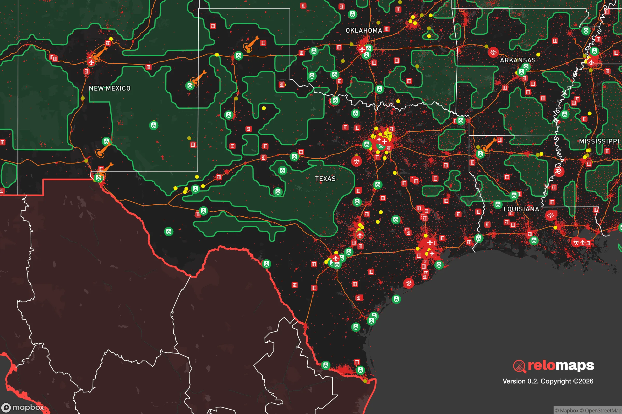


Important Note: For informational purposes only. This does not mean nothing bad ever happens in the green zones. Please use common sense. This is based on public data and modeled with AI. We tried to take a conservative approach but mistakes happen. We update this regularly as new information becomes available.
Solar Generator Recommendations
Backup power matters more here than in safer locations. We've picked three solar generators across budgets and capacity tiers — start with the budget unit if you only need a few essentials, or step up if you want to run a fridge and HVAC for days at a time.

Jackery Portable Power Station Explorer 300
Budget OptionPower on the Go: Weighing only 11 lbs, it's convenient to set up and store with book-sized foldable solar panels

BLUETTI Portable Power Station AC180
Designed for both indoor and outdoor scenarios, AC180 is highly capable as it has a robost capacity and continuous output power.

EF ECOFLOW DELTA Pro Ultra Power Station
Upgraded PickEcoFlow DELTA Pro Ultra is a whole-home energy system designed to grow with your family. Integrated with the Smart Home Panel 2, it scales to meet your evolving energy needs — keeping your home powered, intelligent, and secure through every stage of life.
We earn a commission, at no additional cost to you.
Strategic Assessment Analysis
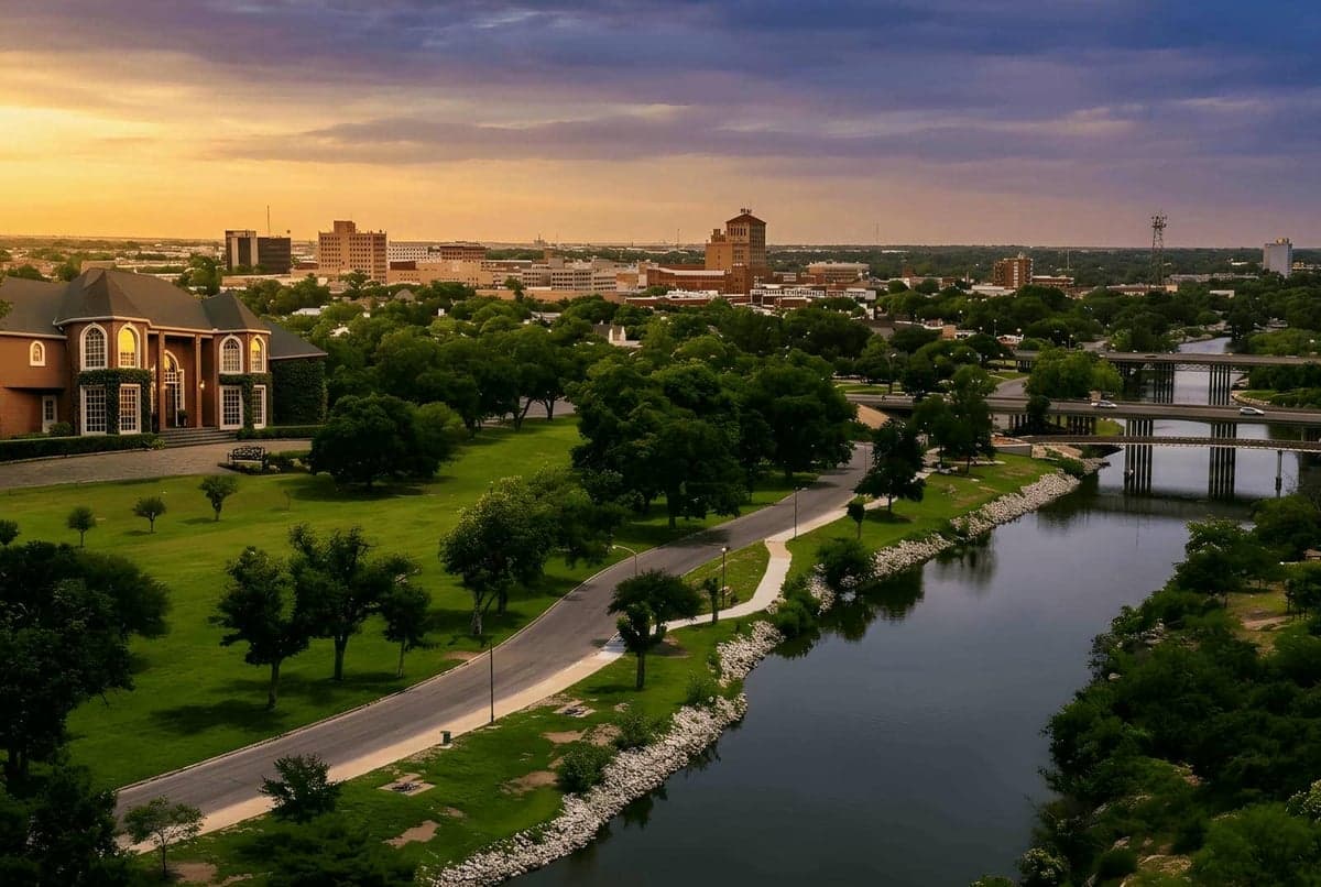
San Angelo, Texas, offers a compelling mix of geographic isolation and resource abundance that makes it a serious contender for anyone prioritizing resilience and self-sufficiency in a relocation decision. Situated in the Concho Valley at the intersection of the Edwards Plateau and the West Texas Rolling Plains, the city sits roughly 200 miles from the nearest major metropolitan areas—Dallas-Fort Worth, Austin, San Antonio, and El Paso—placing it well outside the immediate blast, fallout, and secondary chaos zones of those high-value targets. This strategic buffer, combined with a robust local water supply and a strong agricultural base, gives San Angelo a distinct advantage over more densely populated or resource-dependent regions of the state.
Geographic position and natural advantages for long-term stability
San Angelo’s location is its primary strategic asset. The city is anchored by the Concho River and sits atop the Edwards-Trinity Aquifer, one of the most productive groundwater systems in Texas. This means the area is not reliant on distant reservoirs or the increasingly strained Colorado River system that serves Austin and San Antonio. The surrounding terrain is semi-arid but supports ranching and dryland farming, with the city itself acting as a regional trade hub for a vast, sparsely populated area. The nearest major military installation is Goodfellow Air Force Base, located within the city limits—a potential target in a major conflict, but a small one compared to Fort Hood (now Fort Cavazos) or Joint Base San Antonio. The topography is gently rolling with limestone bedrock, which offers decent drainage and stable building sites, and the climate, while hot and prone to drought, is less volatile than the Gulf Coast or the Panhandle. For a relocator, this means a lower probability of hurricane storm surge, tornado outbreaks (though they do occur), or catastrophic flooding.
Risks, exposures, and proximity to fallout-relevant landmarks
No location is without risk, and San Angelo has its share. The most significant natural threat is extreme drought and heat, which can stress water supplies and increase wildfire risk in the surrounding grasslands. The area is also in a moderate-to-high risk zone for tornadoes, though the frequency is lower than in the Dallas-Fort Worth corridor. Man-made risks are more nuanced. Goodfellow Air Force Base, while not a nuclear command center, is a training base for intelligence and cryptologic operations—it could be a secondary target in a major conflict. The city is also within roughly 150 miles of the Permian Basin oil fields, which include refineries and chemical plants that could be targets of sabotage or collateral damage. However, San Angelo itself has no major refineries, nuclear power plants, or large-scale military depots. The nearest significant fallout danger would come from a strike on the Permian Basin or, more distantly, on the Dallas-Fort Worth metroplex, but prevailing winds in West Texas typically blow from the south and west, which would carry fallout away from San Angelo in most scenarios. The city’s distance from the major interstate corridors (I-10, I-20, I-35) also reduces the risk of being caught in mass evacuation traffic or refugee flows during a crisis.
Practical resilience for a relocator: food, water, energy, and defensibility
For someone serious about self-sufficiency, San Angelo scores well on the basics. Water is the strongest suit: the city draws from both the Concho River and the Hickory Aquifer, and the municipal supply is considered reliable even during severe droughts, though conservation measures are common. Many homes in the surrounding county have private wells, and the water table is accessible at moderate depths (100-300 feet). For food, the region is a major producer of beef, sheep, and goats, with the San Angelo Stock Show and Rodeo being one of the largest in the state. Local farmers' markets and a growing number of small-scale vegetable farms exist, but the area is not a breadbasket—most grains and produce are imported. A relocator would need to plan for gardening and possibly small livestock to achieve true food independence. Energy is a mixed picture: the local grid is part of the Texas Interconnection (ERCOT), which has proven vulnerable to winter storms (e.g., 2021’s Uri). However, San Angelo has a high solar insolation rate—over 300 sunny days per year—making solar panels a very viable backup. Natural gas and propane are widely available for heating and cooking. Defensibility is where San Angelo shines: the city is compact (population ~100,000) with a low crime rate relative to larger Texas cities, and the surrounding terrain is open and easily monitored. The local law enforcement and sheriff’s department are well-funded, and the culture is heavily oriented toward hunting and firearms ownership, which translates to a population that is both armed and skilled. The city’s layout, with the Concho River running through it, provides natural chokepoints and a defensible perimeter for those living on the outskirts.
The overall strategic picture for San Angelo is one of moderate-to-high resilience with manageable trade-offs. It lacks the immediate self-sufficiency of a remote homestead in the Hill Country or the high plains, but it offers a functional small city with real infrastructure, a strong local economy, and a population that is generally self-reliant and community-oriented. The biggest downsides are the heat, the drought risk, and the distance from specialized medical care or major supply chains. For a relocator who is willing to invest in solar, a well, and a garden, San Angelo provides a solid foundation for long-term stability without the isolation of a truly remote location. It is not a bunker—it is a working town with a strategic location that rewards preparation. If you are looking for a place that balances access to modern amenities with a realistic buffer from the most likely crisis scenarios, San Angelo deserves a serious look.

* Values derived from national, state, county, city and local statistics and may differ in a specific area. Last updated: 2026-10-23T20:55:08.000Z
Narrative content on this page is AI-generated and may contain mistakes. Verify any details that matter before acting on them.
ReloMaps may earn a commission from affiliate links at no extra cost to you.

