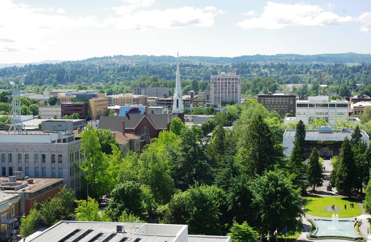
Photo: Wikipedia
Strategic Assessment of Salem, OR
Meaningful friction. Expect exposure to either population pressure, blast zones, or natural disaster risk. Consider buying a retreat property.
What does the Strategic Assessment tell us?
Our Strategic Assessment grades tactical survivability of an area. Major population centers, military targets, fallout zones, natural disasters, and border exposure all drive risk — lower exposure means a more defensible position in a crisis.
This is heavily inspired by Joel Skousen's Strategic Relocation book. Highly recommended you checkout the book ($)What does this tell us?
Our Strategic Assessment grades tactical survivability of an area. Major population centers, military targets, fallout zones, natural disasters, and border exposure all drive risk — lower exposure means a more defensible position in a crisis.
This is heavily inspired by Joel Skousen's Strategic Relocation book. Highly recommended you checkout the book ($)Strategic Pillars

Key Distances
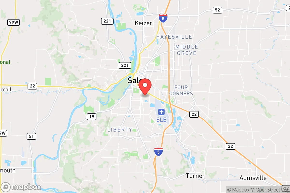
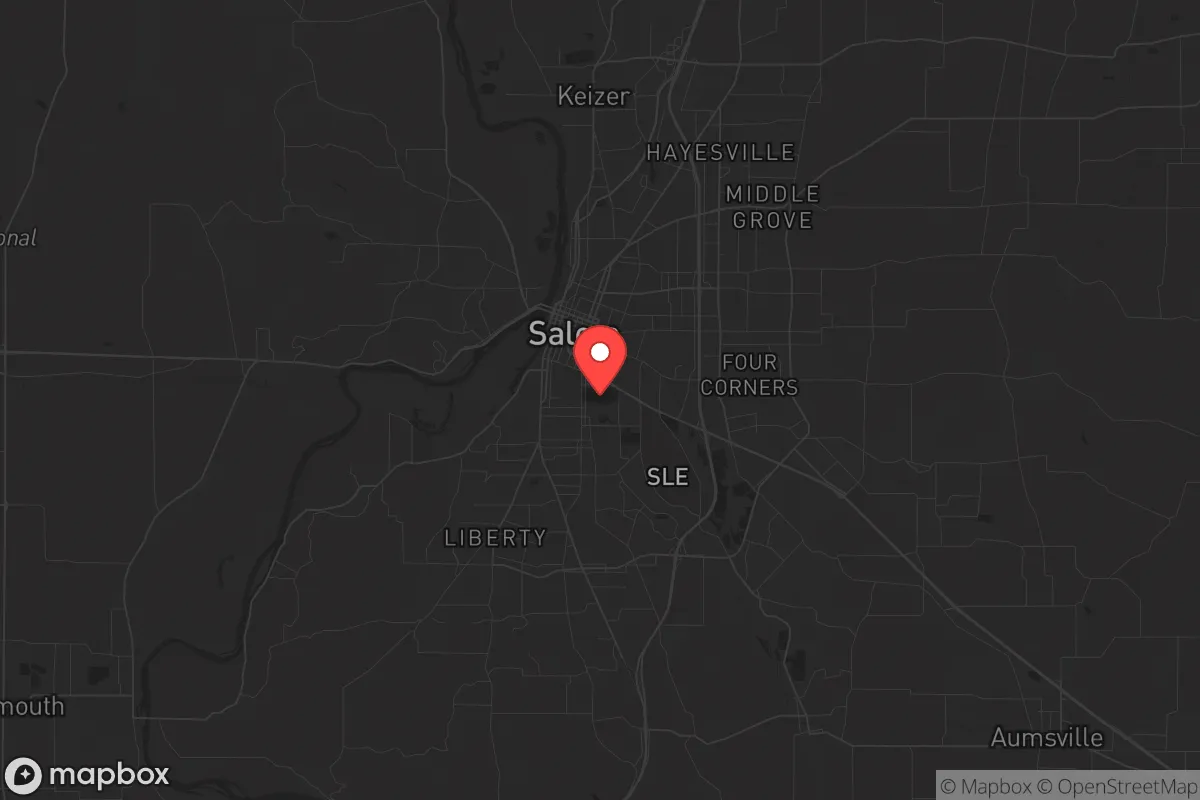
Regional Safe Places
Below is our recommended "safe zones" in Oregon and the surrounding area based on our strategic heuristics. For most people, it's unrealistic to live in a “safe zone” full-time due to work, family or other personal reasons. They tend to be more rural. However, many of these areas are perfect for second homes and retreat properties that double as a vacation home or even a short-term rental.


Important Note: For informational purposes only. This does not mean nothing bad ever happens in the green zones. Please use common sense. This is based on public data and modeled with AI. We tried to take a conservative approach but mistakes happen. We update this regularly as new information becomes available.
Solar Generator Recommendations
Backup power matters more here than in safer locations. We've picked three solar generators across budgets and capacity tiers — start with the budget unit if you only need a few essentials, or step up if you want to run a fridge and HVAC for days at a time.

Jackery Portable Power Station Explorer 300
Budget OptionPower on the Go: Weighing only 11 lbs, it's convenient to set up and store with book-sized foldable solar panels

BLUETTI Portable Power Station AC180
Designed for both indoor and outdoor scenarios, AC180 is highly capable as it has a robost capacity and continuous output power.

EF ECOFLOW DELTA Pro Ultra Power Station
Upgraded PickEcoFlow DELTA Pro Ultra is a whole-home energy system designed to grow with your family. Integrated with the Smart Home Panel 2, it scales to meet your evolving energy needs — keeping your home powered, intelligent, and secure through every stage of life.
We earn a commission, at no additional cost to you.
Strategic Assessment Analysis
Salem, Oregon, sits in a precarious strategic position that offers both genuine resilience advantages and serious exposure risks for those prioritizing long-term preparedness. As the state capital, it provides a degree of institutional stability and logistical priority during emergencies, but its location in the Willamette Valley places it within a dense corridor of population centers, infrastructure targets, and natural hazard zones. For a conservative-leaning relocator assessing this area through a survivalist lens, the calculus is mixed: the region’s agricultural abundance and water resources are strong assets, but its proximity to Portland, major interstate corridors, and the Cascadia Subduction Zone introduces vulnerabilities that demand careful mitigation planning.
Geographic position and natural advantages for long-term survival
Salem’s geographic setting offers several underappreciated resilience features. The city sits at the confluence of the Willamette and Santiam rivers, providing abundant freshwater access—a critical resource for any extended disruption. The surrounding Willamette Valley is one of the most productive agricultural regions in the United States, with fertile soils supporting year-round crop cultivation. Within a 30-mile radius, you’ll find dozens of farms, orchards, and nurseries that could serve as local food sources if supply chains falter. The nearby Cascade Range and Coast Range provide natural barriers that could slow movement from coastal or eastern threats, while the valley’s relatively mild climate reduces the strain on heating and cooling needs during grid-down scenarios. Elevation is modest—around 150 feet—so flooding risks are real, but the city is not in a tsunami zone, and the surrounding hills offer defensible retreat positions within a short drive. The area’s low population density relative to Portland (about 175,000 in Salem proper, 450,000 in the metro area) means less competition for resources in a crisis, though the city’s role as a state capital ensures it will remain a focal point for government operations and potential unrest.
Risks, exposures, and proximity to fallout-relevant landmarks
The most significant strategic liabilities for Salem are its proximity to high-value targets and natural disaster zones. The city lies roughly 45 miles south of Portland, a major port, transportation hub, and population center that would be a primary target in any large-scale conflict or terrorist event. Portland’s industrial infrastructure, including chemical plants, rail yards, and the Portland International Airport, could produce secondary hazards if struck. Salem itself hosts state government buildings, including the Oregon State Capitol and multiple agency offices, which could become targets for civil unrest or coordinated attacks. The city is also within 60 miles of the Portland-Vancouver metropolitan area’s critical infrastructure, including the Bonneville Dam on the Columbia River—a key electrical and water control asset that, if compromised, could disrupt power and water for the entire valley. On the natural disaster front, Salem sits in the Cascadia Subduction Zone’s impact area, meaning a major earthquake (magnitude 8.0 or higher) is a statistical certainty within the next 50 years. Such an event would likely cause widespread liquefaction in the valley, damage to bridges and overpasses along I-5, and potential dam failures upstream on the Santiam River. The city’s location in a river valley also makes it vulnerable to prolonged flooding, especially if winter storms or snowmelt coincide with infrastructure failures. For the prepper, these risks mean that any relocation to Salem must include a plan for self-sufficiency during a multi-week grid outage and a secondary bug-out location in the nearby foothills or Coast Range.
Practical resilience for a relocator: food, water, energy, and defensibility
On the practical side, Salem offers several advantages for building a resilient homestead. The local food system is robust: the Willamette Valley produces over 200 crops, including hazelnuts, berries, wine grapes, and grass seed, and the city has a strong network of farmers’ markets, CSAs, and u-pick operations. For water, the city draws from the North Santiam River via a protected watershed, but a well on private property is the gold standard for long-term security—and the region’s high water table makes well drilling feasible in many rural parcels within 15-20 minutes of downtown. Energy resilience is more challenging: Salem’s grid is tied to the Pacific Northwest’s hydroelectric system, which is vulnerable to earthquake damage and drought cycles. Solar potential is moderate (about 150 sunny days per year), but battery storage and a backup generator are essential for any serious prepper. Defensibility is a mixed bag. The city itself is flat and open, with limited natural chokepoints, making it hard to secure against a determined mob or organized threat. However, the surrounding rural areas—particularly east toward the Cascade foothills or west into the Coast Range—offer terrain that is easier to defend, with narrow roads, dense forests, and limited access points. For a relocator, the smart play is to live on the outskirts (e.g., near Silverton, Stayton, or Dallas) where you can maintain a low profile, store supplies, and have multiple egress routes. Salem’s hospital system (Salem Health) is adequate for routine care but would be overwhelmed in a mass casualty event, so medical training and supplies are non-negotiable. The local gun culture is present but not as pronounced as in rural Oregon or Idaho; concealed carry is legal with a permit, and the state’s magazine capacity ban (10 rounds) is a limitation to factor into your planning.
Overall, Salem represents a calculated compromise for the strategic relocator. It offers genuine resilience advantages—abundant water, fertile soil, a mild climate, and a lower population density than Portland—that make it a viable base for long-term self-sufficiency. But those strengths come with serious exposure risks: proximity to a major urban target, vulnerability to Cascadia earthquake and flood events, and the inherent instability of a state capital during civil unrest. For a conservative-leaning individual or family willing to invest in off-grid infrastructure, maintain a low profile, and develop a robust bug-out plan for the surrounding hills, Salem can work as a strategic hub. It is not a retreat in the sense of a remote mountain compound, but it is a defensible agricultural zone with enough distance from the worst fallout zones to give you a fighting chance. The key is to treat Salem as a base of operations, not a final redoubt—and to have your escape routes and supply caches ready before the next crisis hits.
* Values derived from national, state, county, city and local statistics and may differ in a specific area. Last updated: 2026-05-02T22:11:54.000Z
Narrative content on this page is AI-generated and may contain mistakes. Verify any details that matter before acting on them.
ReloMaps may earn a commission from affiliate links at no extra cost to you.