Photo: Wikipedia
Strategic Assessment of Rocky River, OH
Multiple tactical vulnerabilities. Population density, target proximity, or disaster risk are likely compounding. A retreat property and exit planning is required.
What does the Strategic Assessment tell us?
Our Strategic Assessment grades tactical survivability of an area. Major population centers, military targets, fallout zones, natural disasters, and border exposure all drive risk — lower exposure means a more defensible position in a crisis.
This is heavily inspired by Joel Skousen's Strategic Relocation book. Highly recommended you checkout the book ($)What does this tell us?
Our Strategic Assessment grades tactical survivability of an area. Major population centers, military targets, fallout zones, natural disasters, and border exposure all drive risk — lower exposure means a more defensible position in a crisis.
This is heavily inspired by Joel Skousen's Strategic Relocation book. Highly recommended you checkout the book ($)Strategic Pillars

Key Distances
Regional Safe Places
Below is our recommended "safe zones" in Ohio and the surrounding area based on our strategic heuristics. For most people, it's unrealistic to live in a “safe zone” full-time due to work, family or other personal reasons. They tend to be more rural. However, many of these areas are perfect for second homes and retreat properties that double as a vacation home or even a short-term rental.

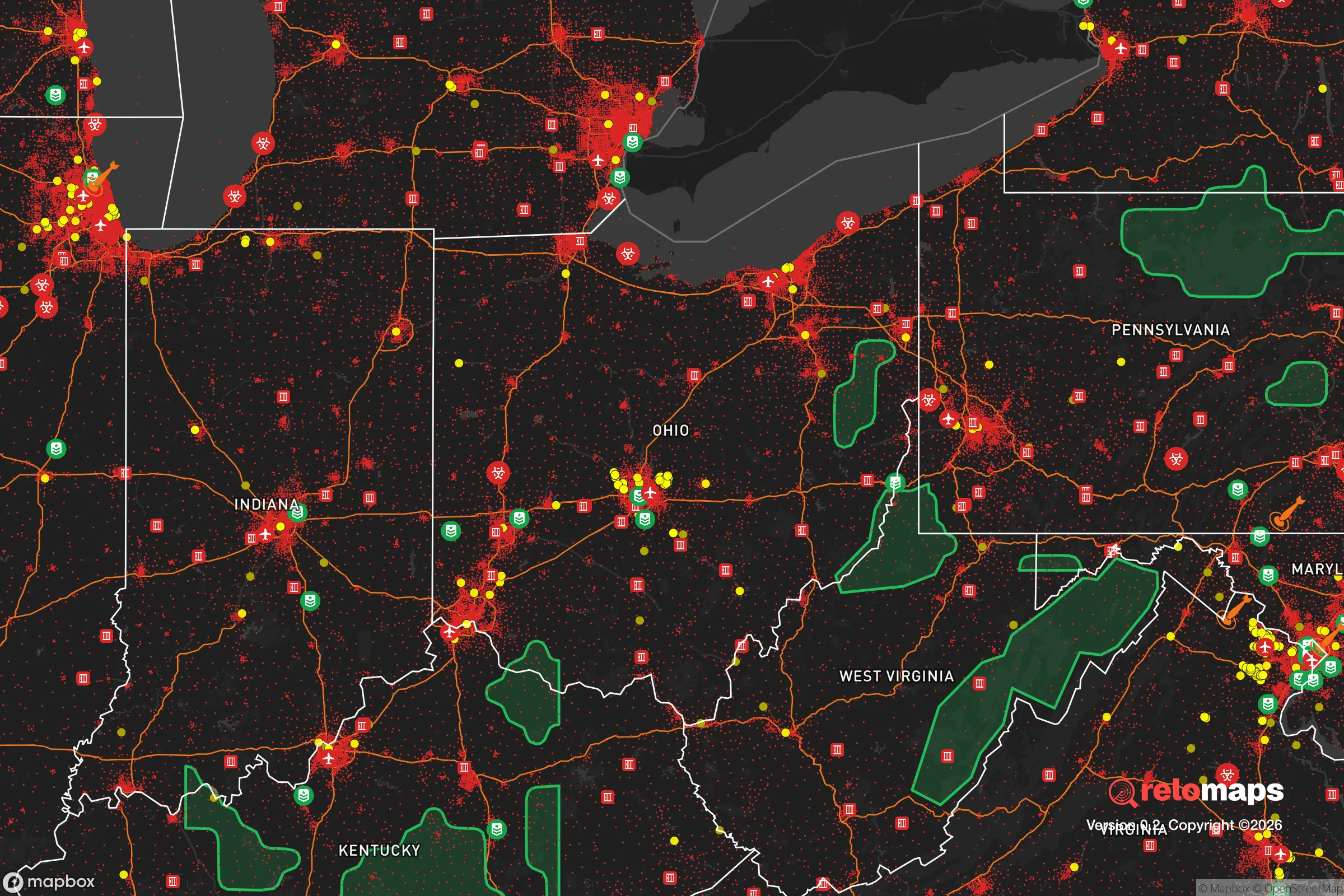


Important Note: For informational purposes only. This does not mean nothing bad ever happens in the green zones. Please use common sense. This is based on public data and modeled with AI. We tried to take a conservative approach but mistakes happen. We update this regularly as new information becomes available.
Solar Generator Recommendations
Backup power matters more here than in safer locations. We've picked three solar generators across budgets and capacity tiers — start with the budget unit if you only need a few essentials, or step up if you want to run a fridge and HVAC for days at a time.

Jackery Portable Power Station Explorer 300
Budget OptionPower on the Go: Weighing only 11 lbs, it's convenient to set up and store with book-sized foldable solar panels

BLUETTI Portable Power Station AC180
Designed for both indoor and outdoor scenarios, AC180 is highly capable as it has a robost capacity and continuous output power.

EF ECOFLOW DELTA Pro Ultra Power Station
Upgraded PickEcoFlow DELTA Pro Ultra is a whole-home energy system designed to grow with your family. Integrated with the Smart Home Panel 2, it scales to meet your evolving energy needs — keeping your home powered, intelligent, and secure through every stage of life.
We earn a commission, at no additional cost to you.
Strategic Assessment Analysis
Rocky River, Ohio, sits in a genuinely interesting strategic position for someone weighing disaster readiness and long-term self-sufficiency. It's a compact, established suburb of roughly 20,000 people on the western edge of Cuyahoga County, and its resilience profile is a study in contrasts: strong natural assets and a tight-knit community fabric, but also real exposure to the risks that come with being 12 miles from downtown Cleveland and inside a major metropolitan corridor. For a relocator thinking seriously about preparedness, the question isn't whether Rocky River is "safe" — it's whether its specific mix of advantages and vulnerabilities matches your personal risk calculus.
Geographic position and natural advantages for long-term stability
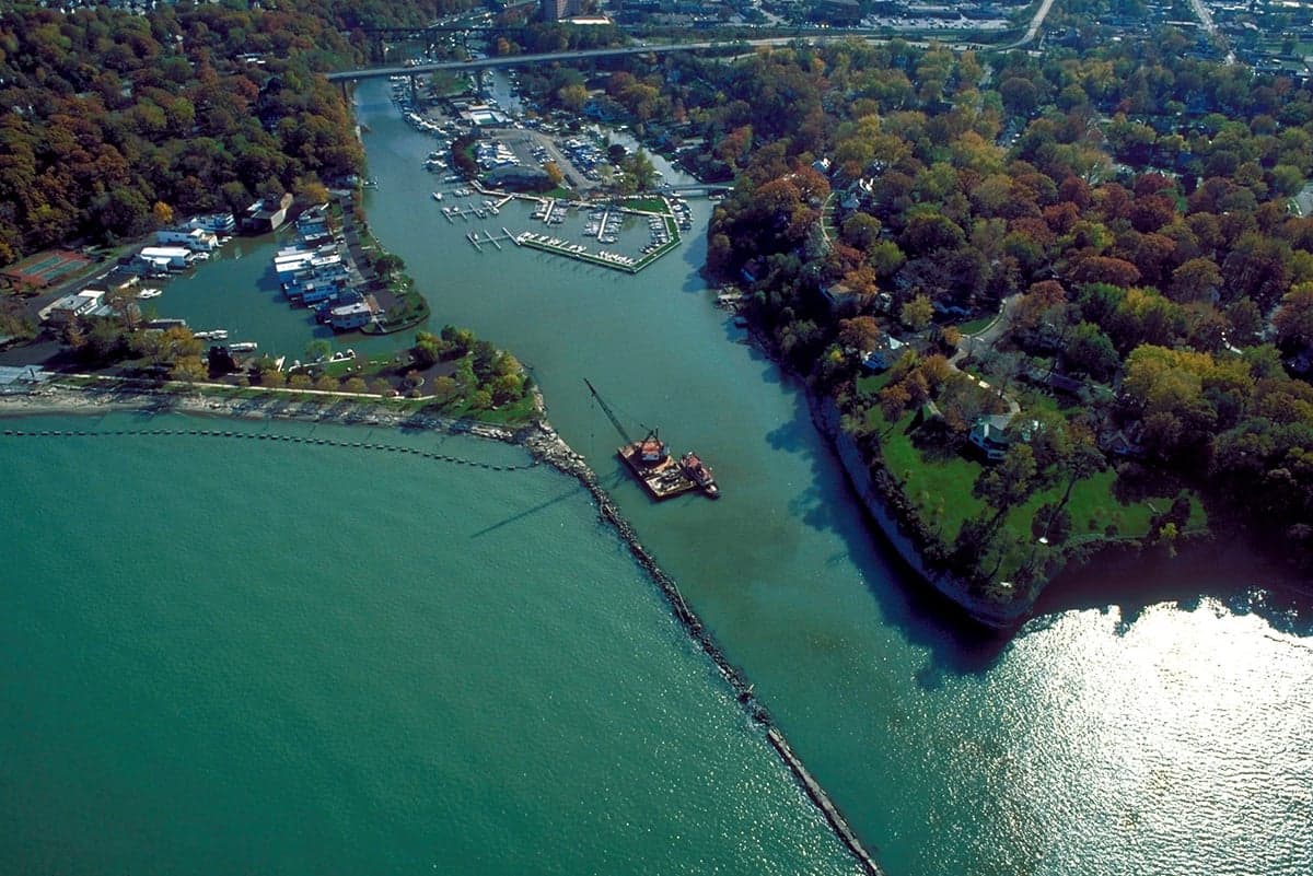
Rocky River's most underrated asset is its namesake: the Rocky River and the adjacent Cleveland Metroparks system. The valley cuts a deep, wooded gorge through the western suburbs, creating a natural green buffer that breaks up the density of the surrounding development. This isn't just scenic — it provides meaningful terrain diversity, natural water drainage, and a wildlife corridor that would function as a resource zone in a prolonged emergency. The city's position on Lake Erie's shore adds another layer: a massive, reliable freshwater source that most inland communities simply don't have. In a grid-down scenario, that lake is a strategic asset, though it comes with the caveat that shoreline access is public and would be a draw for others in a crisis.
The topography itself is favorable. Rocky River sits on a bluff above the lake and river, with elevations ranging from roughly 600 to 700 feet above sea level. That means the worst of Lake Erie storm surge and river flooding tends to impact the valley floor and the beach areas, not the residential plateaus where most homes sit. The city's floodplain maps show the risk concentrated in the valley and along the lakefront — the majority of the housing stock is on higher ground. For a relocator, that's a meaningful distinction: you can live in Rocky River and be outside the high-risk flood zones, provided you choose your specific street carefully.
Risk exposure and proximity to fallout-relevant landmarks
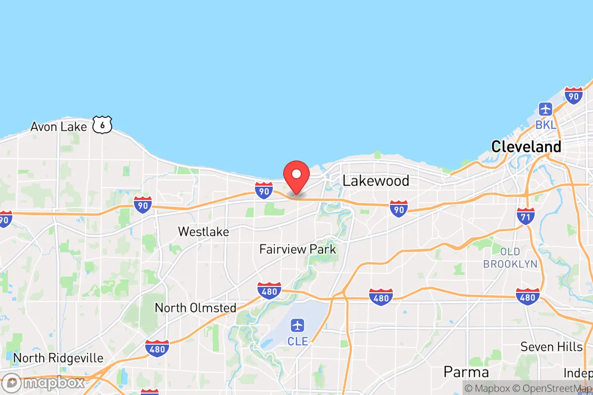
Here's where the analysis gets serious. Rocky River's proximity to Cleveland is a double-edged sword, and for a preparedness-minded reader, the downsides are significant. The city is roughly 12 miles west of downtown Cleveland, which places it within the blast and fallout radius of any major strike on the city's industrial, transportation, or government infrastructure. Cleveland Hopkins International Airport is about 8 miles south — a prime target in any conflict scenario. The Cuyahoga River valley, with its concentration of chemical plants, refineries, and steel operations, is a secondary risk zone; a conventional strike or industrial accident there could produce toxic plumes that drift west with prevailing winds, directly over Rocky River.
Beyond the obvious military targets, the area's density works against it in a crisis. Rocky River is one of the most population-dense suburbs in Ohio, with over 4,000 residents per square mile. That density means you're never more than a few hundred feet from neighbors, and in a societal disruption, that translates to competition for resources, higher disease transmission risk, and less privacy for any defensive posture. The city is also a choke point for evacuation: the primary east-west routes (Detroit Road, Center Ridge Road, and I-90) all funnel through narrow corridors, and the Rocky River bridge on I-90 is a single point of failure that would bottleneck any mass movement. If you're planning to bug out, you'd be fighting traffic through a suburban maze; if you're planning to bug in, you'd be doing it in a dense, interconnected grid where a single gas leak or fire could cascade.
Practical resilience for a relocator: food, water, energy, and defensibility
On the practical side, Rocky River offers a mixed bag. The good news: the city has a reliable municipal water system drawing from Lake Erie, and the treatment infrastructure is modern and well-maintained. In a power outage, the city's water plant has backup generation, though sustained grid failure would eventually strain fuel supplies. For a relocator serious about water independence, the lake is right there — but you'd need your own filtration and purification setup, and you'd be competing with everyone else who had the same idea. A private well is not an option in most of Rocky River; the lots are too small and the water table is managed municipally.
Food and energy are the weaker links. Rocky River is a bedroom community with almost no agricultural land — the entire city is under 5 square miles, and it's fully built out. There are no working farms, no orchards, and no meaningful livestock operations within city limits. Your food security would depend entirely on what you can store, grow in a small yard, or source from the surrounding region. The nearest significant agricultural areas are in Lorain and Medina counties, 20-30 minutes west and south — a manageable drive in normal times, but a liability if roads are blocked or fuel is scarce. Energy is similarly dependent: the grid is standard suburban infrastructure, and natural gas heating is the norm. A long winter outage would be a serious challenge without a backup heat source, and the dense housing stock means solar retrofits are constrained by roof orientation, tree cover, and HOA-style restrictions in some neighborhoods.
Defensibility is the hardest sell. Rocky River is not a bug-out location; it's a bug-in location, and even that requires careful planning. The city's street grid is open and interconnected, with multiple access points from every direction. There's no natural perimeter, no chokepoint you control, and no rural buffer. What it does offer is a strong sense of community — the city has active neighborhood watch programs, a well-regarded police department, and a civic culture that leans toward mutual assistance. In a slow-burn crisis (economic downturn, supply chain disruption, extended regional emergency), that social cohesion is a genuine asset. In a fast-moving, violent scenario, it's not enough to offset the density and lack of defensible space.
The overall strategic picture for Rocky River is nuanced. It's a solid choice for someone who wants lake access, a strong community, and a location that's resilient to slow-moving disruptions — economic shocks, supply chain issues, or a prolonged regional power event where municipal services hold. It's a weaker choice for someone planning for worst-case scenarios involving major conflict, societal collapse, or long-term grid failure. The lake gives you water, the community gives you support, and the geography gives you flood safety — but the density, the proximity to Cleveland, and the complete lack of local food production are real liabilities. If you're relocating with a preparedness mindset, Rocky River works best as a "fortress of community" play: hunker down with neighbors, rely on municipal services as long as they hold, and have a secondary plan for leaving if they don't. It's not a self-sufficient homestead, but it's not a trap either — it's a suburb with a survival plan, provided you bring your own.

* Values derived from national, state, county, city and local statistics and may differ in a specific area. Last updated: 2026-10-26T00:10:52.000Z
Narrative content on this page is AI-generated and may contain mistakes. Verify any details that matter before acting on them.
ReloMaps may earn a commission from affiliate links at no extra cost to you.

