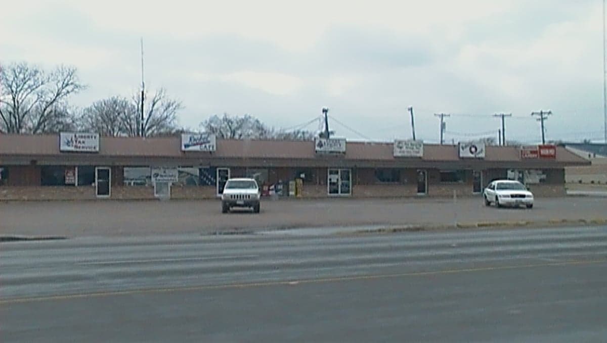
Photo: Wikipedia
Strategic Assessment of Robinson, TX
Meaningful friction. Expect exposure to either population pressure, blast zones, or natural disaster risk. Consider buying a retreat property.
What does the Strategic Assessment tell us?
Our Strategic Assessment grades tactical survivability of an area. Major population centers, military targets, fallout zones, natural disasters, and border exposure all drive risk — lower exposure means a more defensible position in a crisis.
This is heavily inspired by Joel Skousen's Strategic Relocation book. Highly recommended you checkout the book ($)What does this tell us?
Our Strategic Assessment grades tactical survivability of an area. Major population centers, military targets, fallout zones, natural disasters, and border exposure all drive risk — lower exposure means a more defensible position in a crisis.
This is heavily inspired by Joel Skousen's Strategic Relocation book. Highly recommended you checkout the book ($)Strategic Pillars

Key Distances
Regional Safe Places
Below is our recommended "safe zones" in Texas and the surrounding area based on our strategic heuristics. For most people, it's unrealistic to live in a “safe zone” full-time due to work, family or other personal reasons. They tend to be more rural. However, many of these areas are perfect for second homes and retreat properties that double as a vacation home or even a short-term rental.

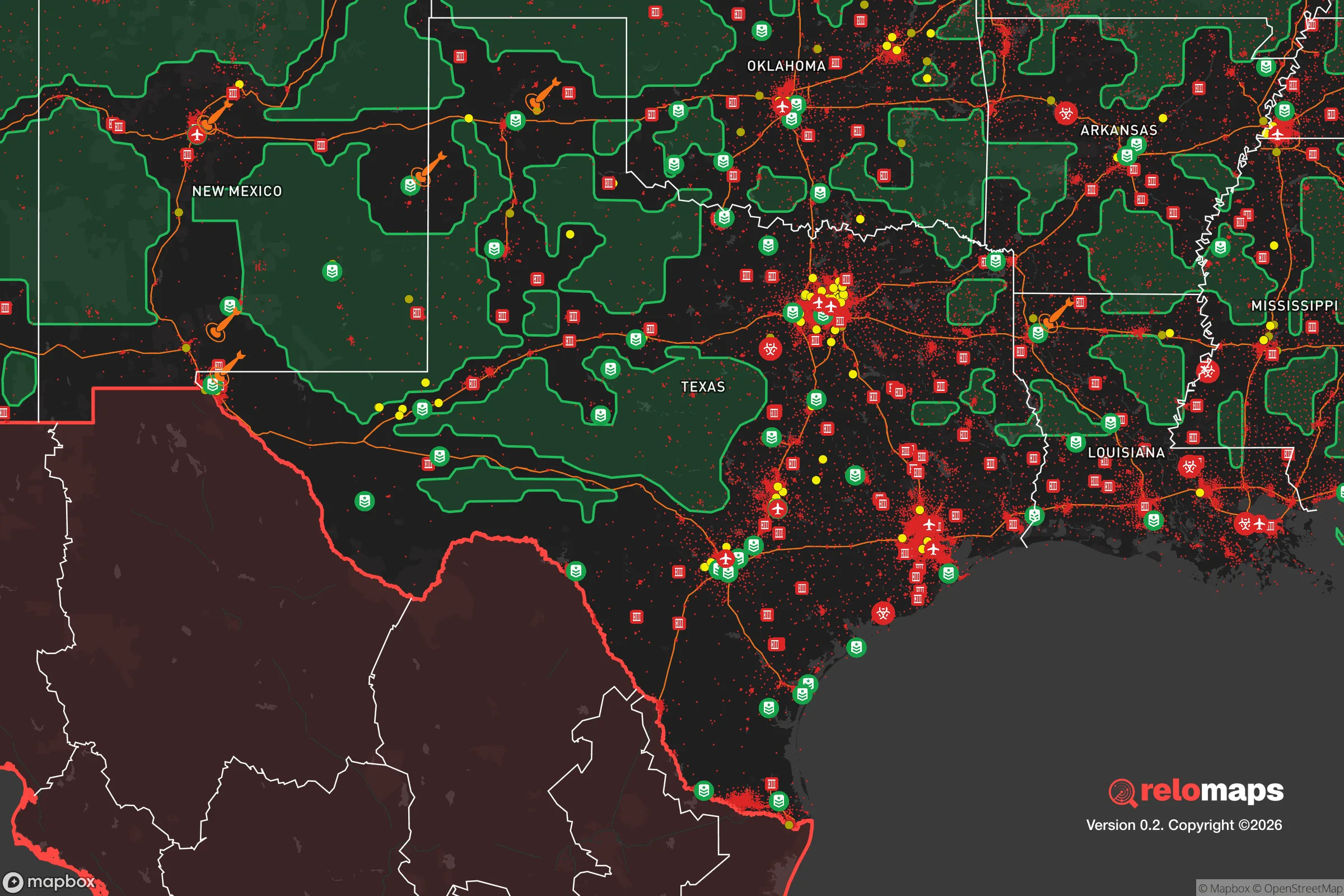


Important Note: For informational purposes only. This does not mean nothing bad ever happens in the green zones. Please use common sense. This is based on public data and modeled with AI. We tried to take a conservative approach but mistakes happen. We update this regularly as new information becomes available.
Solar Generator Recommendations
Backup power matters more here than in safer locations. We've picked three solar generators across budgets and capacity tiers — start with the budget unit if you only need a few essentials, or step up if you want to run a fridge and HVAC for days at a time.

Jackery Portable Power Station Explorer 300
Budget OptionPower on the Go: Weighing only 11 lbs, it's convenient to set up and store with book-sized foldable solar panels

BLUETTI Portable Power Station AC180
Designed for both indoor and outdoor scenarios, AC180 is highly capable as it has a robost capacity and continuous output power.

EF ECOFLOW DELTA Pro Ultra Power Station
Upgraded PickEcoFlow DELTA Pro Ultra is a whole-home energy system designed to grow with your family. Integrated with the Smart Home Panel 2, it scales to meet your evolving energy needs — keeping your home powered, intelligent, and secure through every stage of life.
We earn a commission, at no additional cost to you.
Strategic Assessment Analysis
Robinson, Texas, offers a strategic balance of proximity to Waco’s resources and the buffer of a smaller, self-contained community, making it a credible option for those prioritizing disaster readiness and long-term self-sufficiency. Its position along the I-35 corridor provides access to supply chains and medical facilities, while its location on the Blackland Prairie—away from major floodplains and fault lines—reduces exposure to several common natural hazards. For a relocator weighing resilience, Robinson’s key advantage is its ability to function as a semi-independent node, not just a bedroom suburb of Waco.
Geographic position and natural advantages for long-term stability
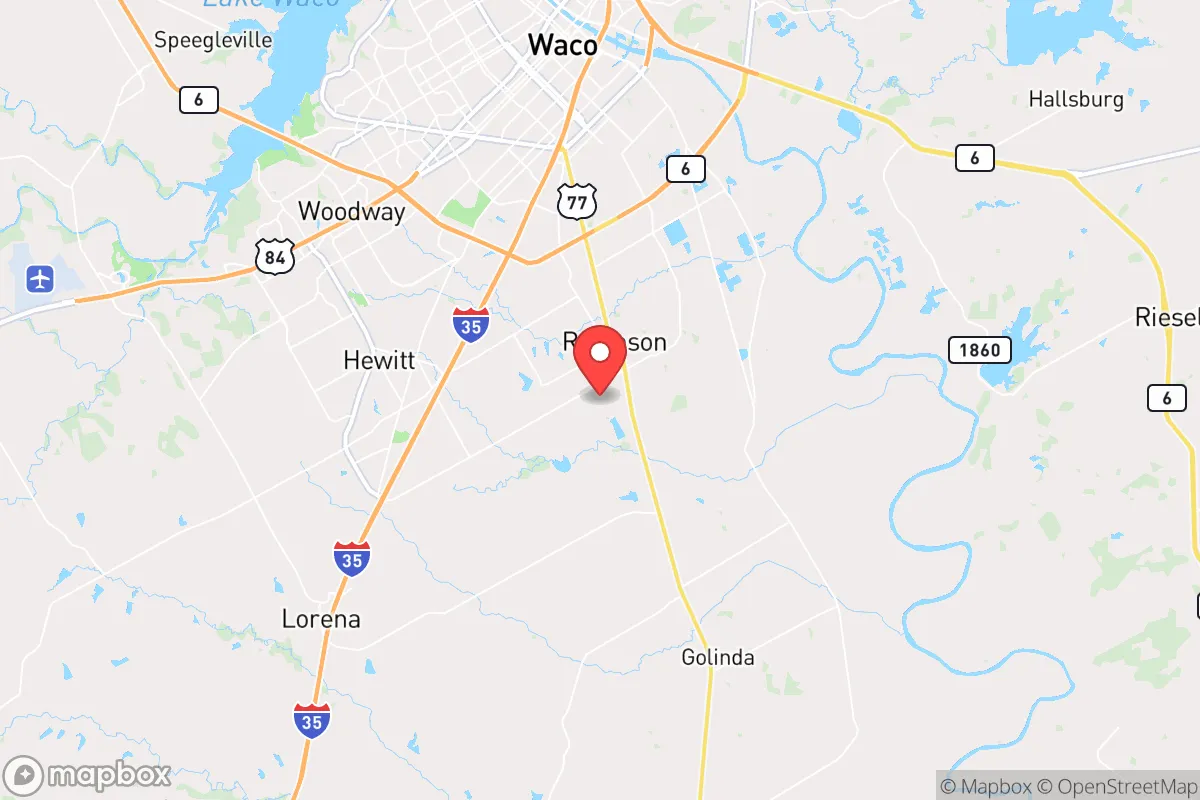
Robinson sits on relatively high ground in McLennan County, roughly 10 miles south of downtown Waco, with the Brazos River flowing to the north and east. This placement offers a natural buffer: the city is not directly on the river’s floodplain, though some low-lying areas near the Brazos can experience minor flooding during extreme rain events. The terrain is gently rolling, with clay-loam soils that drain reasonably well, reducing the risk of standing water or foundation issues common in flatter parts of the state. The area’s climate is humid subtropical, with hot summers and mild winters, meaning freeze-related infrastructure failures are rare. Robinson also sits outside the primary tornado alley of North Texas, though severe thunderstorms and occasional hail are part of the normal pattern. For a resilience-minded household, the absence of hurricane storm surge, wildfire-prone chaparral, or seismic activity is a clear plus. The city’s elevation—around 600 feet above sea level—provides no tactical advantage but does keep it above the Brazos’ 100-year flood zone for most residential parcels.
Risks, exposures, and proximity to fallout-relevant landmarks
The most significant risk for Robinson is its proximity to Waco and the I-35 corridor, which concentrates both economic activity and potential targets. Waco is home to the Texas State Technical College, Baylor University, and several industrial facilities, including a major rail yard and chemical storage sites along the Brazos. In a scenario involving a major industrial accident or a deliberate attack on infrastructure, Robinson’s 10-mile distance places it within the potential fallout zone for airborne contaminants, though prevailing southerly winds would typically push plumes northward. The city is also roughly 90 miles south of the Dallas-Fort Worth metroplex, a high-value target for any large-scale disruption. For a relocator concerned with man-made risks, Robinson’s location is a trade-off: close enough to access Waco’s hospitals and supply chains, but far enough that a localized event in the city center would not directly threaten the community. The nearby McLennan County Sheriff’s Office and Waco Police Department provide law enforcement coverage, but in a prolonged crisis, Robinson’s small population (roughly 12,000) would likely be on its own for the first 48–72 hours. There are no nuclear power plants within 100 miles, and the nearest major military installation is Fort Cavazos (formerly Fort Hood), about 50 miles southwest—a potential asset or liability depending on the scenario.
Practical resilience for a relocator: food, water, energy, and defensibility
Robinson’s practical resilience hinges on its semi-rural character and the ability to source essentials locally. The city is surrounded by active farmland—cotton, corn, and hay operations—and several small-scale livestock producers operate within a 15-minute drive. For a household looking to supplement food supplies, the Robinson Farmers Market operates seasonally, and the nearby Waco Downtown Farmers Market offers year-round access to local produce, meat, and eggs. Water supply comes from the Brazos River via the City of Waco’s treatment system, which serves Robinson through a wholesale agreement. This means the city’s water security is tied to Waco’s infrastructure; a prolonged power outage or contamination event upstream could disrupt supply. However, the average annual rainfall of 35 inches supports rain catchment systems, and the shallow aquifer (the Trinity Group) is accessible via private wells in unincorporated areas just outside city limits. For energy, Robinson is served by Oncor Electric Delivery, with a grid that has experienced occasional outages during ice storms (notably February 2021) but is generally reliable. Natural gas is widely available, and propane delivery services operate in the area. Solar potential is good, with an average of 204 sunny days per year, though homeowners’ associations in some subdivisions may restrict panel placement. Defensibility is moderate: the city’s layout is a mix of grid-pattern neighborhoods and cul-de-sac subdivisions, with a few choke points on the main roads (Robinson Drive, State Highway 6, and I-35 frontage roads). The lack of natural barriers (rivers, hills, dense forests) means a determined group could approach from multiple directions, but the low population density and large lot sizes in the southern half of the city provide space for perimeter awareness. The Robinson Police Department maintains a modest force of about 20 officers, and the McLennan County Sheriff’s Office has a substation nearby. For a relocator, the key takeaway is that Robinson is not a fortress, but its small scale and agricultural surroundings make it easier to stockpile supplies, maintain a garden, and keep a low profile than in a dense suburb.
Overall, Robinson presents a pragmatic option for the resilience-minded relocator who wants to stay within striking distance of urban resources without being swallowed by them. Its geographic position avoids the worst of Texas’ natural hazards, and its proximity to Waco’s hospitals, hardware stores, and emergency services provides a safety net that more remote locations lack. The trade-offs are real: dependence on Waco’s water and power grid, exposure to I-35 corridor risks, and a defensibility profile that relies more on community cohesion than natural barriers. For a single individual or family willing to invest in backup water storage, solar generation, and a well-stocked pantry, Robinson offers a solid foundation. It is not a bug-out location for a total collapse scenario, but for the more likely range of disruptions—ice storms, grid failures, supply chain interruptions—it holds up well as a base of operations. The city’s steady growth and conservative governance (McLennan County voted +27 R in 2024) align with the priorities of a self-reliant household, and the local culture of hunting, fishing, and gardening means resilience skills are already part of the community fabric. If you are looking for a place that balances access with autonomy, Robinson deserves a close look.

* Values derived from national, state, county, city and local statistics and may differ in a specific area. Last updated: 2026-10-28T23:17:02.000Z
Narrative content on this page is AI-generated and may contain mistakes. Verify any details that matter before acting on them.
ReloMaps may earn a commission from affiliate links at no extra cost to you.

