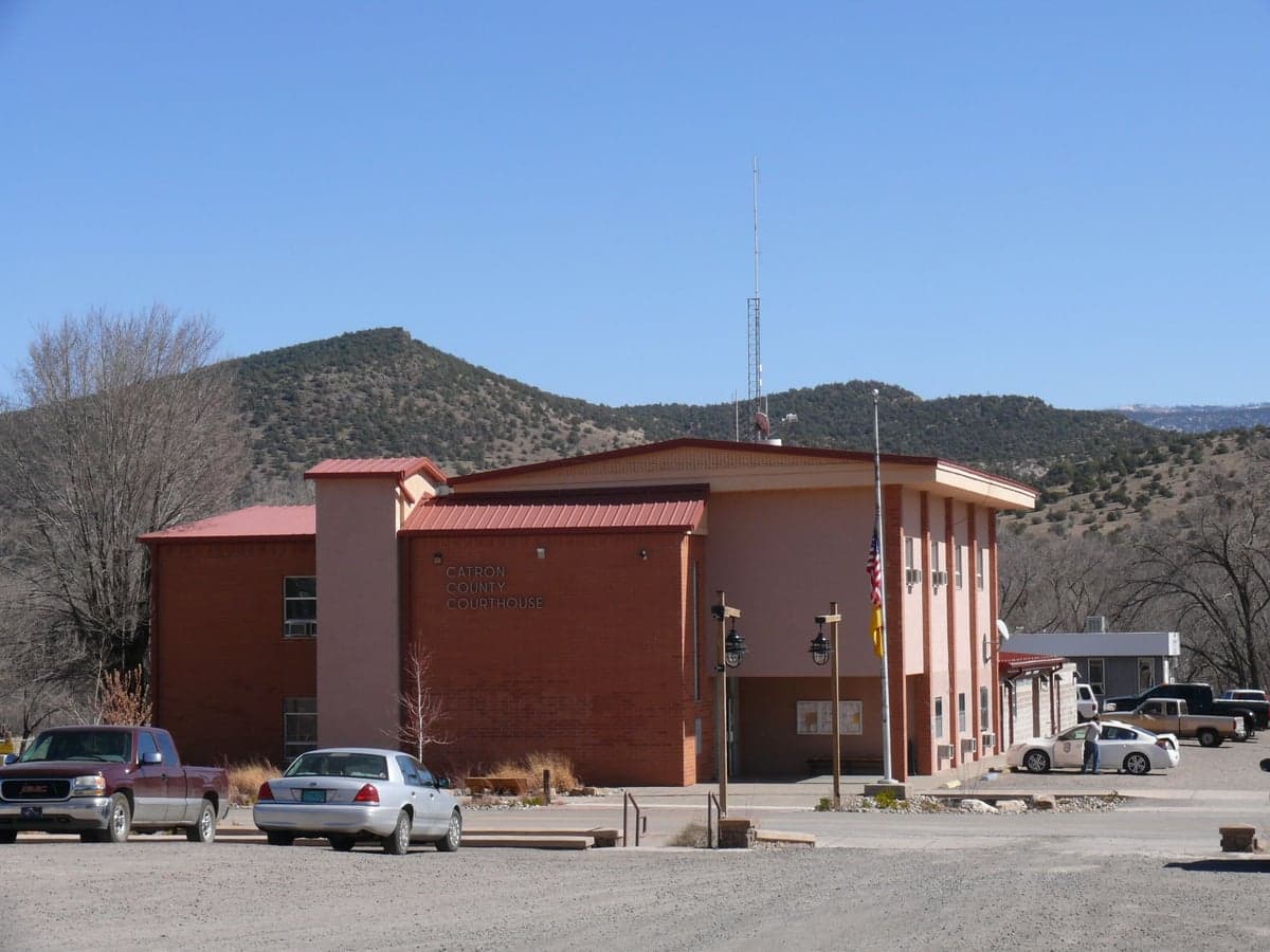
Photo: Wikipedia
Strategic Assessment of Reserve, NM
Workable tactical position. Some exposure to population density or targets, but generally defensible in a crisis.
What does the Strategic Assessment tell us?
Our Strategic Assessment grades tactical survivability of an area. Major population centers, military targets, fallout zones, natural disasters, and border exposure all drive risk — lower exposure means a more defensible position in a crisis.
This is heavily inspired by Joel Skousen's Strategic Relocation book. Highly recommended you checkout the book ($)What does this tell us?
Our Strategic Assessment grades tactical survivability of an area. Major population centers, military targets, fallout zones, natural disasters, and border exposure all drive risk — lower exposure means a more defensible position in a crisis.
This is heavily inspired by Joel Skousen's Strategic Relocation book. Highly recommended you checkout the book ($)Strategic Pillars

Key Distances
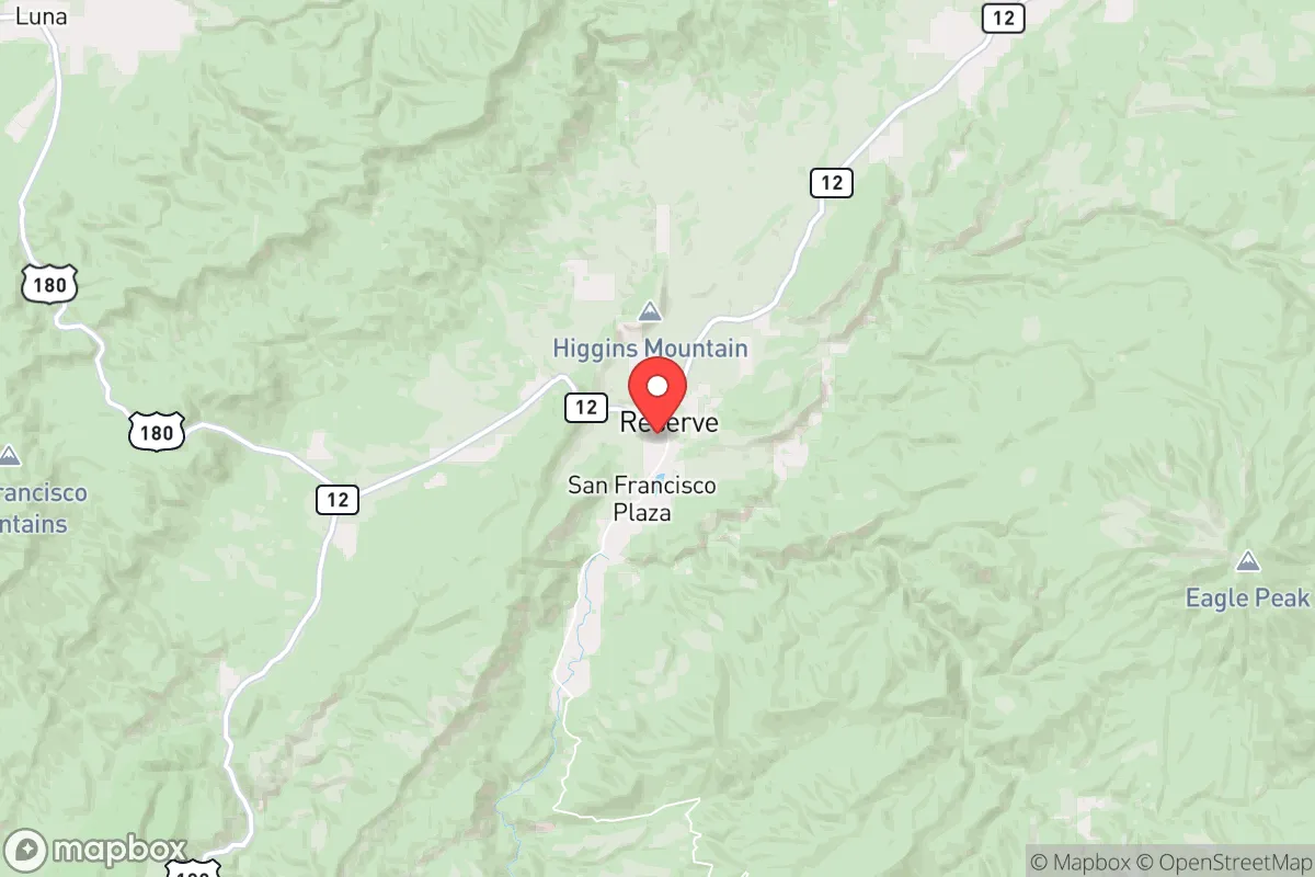
Regional Safe Places
Below is our recommended "safe zones" in New Mexico and the surrounding area based on our strategic heuristics. For most people, it's unrealistic to live in a “safe zone” full-time due to work, family or other personal reasons. They tend to be more rural. However, many of these areas are perfect for second homes and retreat properties that double as a vacation home or even a short-term rental.

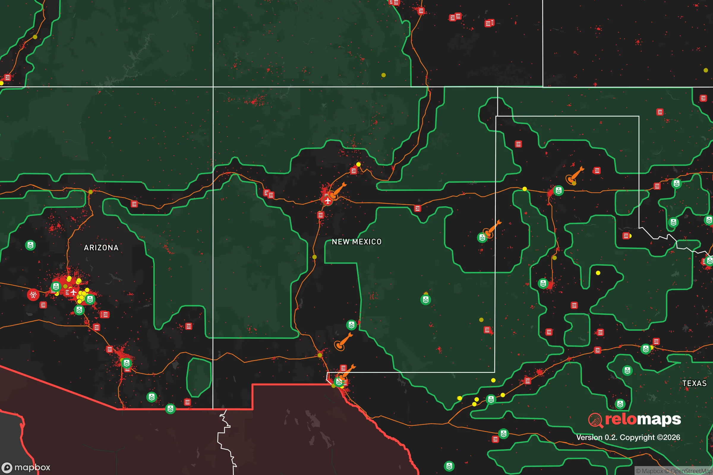


Important Note: For informational purposes only. This does not mean nothing bad ever happens in the green zones. Please use common sense. This is based on public data and modeled with AI. We tried to take a conservative approach but mistakes happen. We update this regularly as new information becomes available.
Solar Generator Recommendations
Backup power matters more here than in safer locations. We've picked three solar generators across budgets and capacity tiers — start with the budget unit if you only need a few essentials, or step up if you want to run a fridge and HVAC for days at a time.

Jackery Portable Power Station Explorer 300
Budget OptionPower on the Go: Weighing only 11 lbs, it's convenient to set up and store with book-sized foldable solar panels

BLUETTI Portable Power Station AC180
Designed for both indoor and outdoor scenarios, AC180 is highly capable as it has a robost capacity and continuous output power.

EF ECOFLOW DELTA Pro Ultra Power Station
Upgraded PickEcoFlow DELTA Pro Ultra is a whole-home energy system designed to grow with your family. Integrated with the Smart Home Panel 2, it scales to meet your evolving energy needs — keeping your home powered, intelligent, and secure through every stage of life.
We earn a commission, at no additional cost to you.
Strategic Assessment Analysis
Reserve, New Mexico, offers a compelling strategic profile for those prioritizing resilience and self-sufficiency, largely due to its extreme remoteness and low population density. Situated in Catron County, the least densely populated county in New Mexico, Reserve sits roughly 150 miles from the nearest major population centers—Albuquerque and El Paso—placing it well outside the likely blast zones and immediate fallout patterns of a major nuclear exchange. This isolation, combined with the area's rugged terrain and access to the Gila National Forest, provides a natural buffer against both man-made and natural cascading failures, making it a serious candidate for a long-term relocation strategy focused on survival and autonomy.
Geographic position and natural advantages for long-term security
Reserve's primary strategic asset is its location within the vast, sparsely populated Gila National Forest, which covers over 3.3 million acres. The town itself sits at an elevation of roughly 5,800 feet in the San Francisco River Valley, a setting that offers several key advantages. The surrounding mountains and canyons create natural choke points and defensible terrain, while the elevation ensures a cooler, drier climate than the lowland deserts—reducing the risk of extreme heat events and supporting a longer growing season for subsistence agriculture. The area is also far from major fault lines, with seismic risk rated as very low by the USGS, and is not in a designated floodplain, though flash flooding in arroyos remains a localized concern. For a relocator, the sheer distance from major infrastructure targets—like the interstates, rail lines, and military installations near Albuquerque and El Paso—means Reserve is unlikely to see significant refugee flow or secondary effects from a major disaster. The nearest interstate (I-25) is over 100 miles east, and the nearest major highway (US-180) provides a single, easily monitored route into town.
Risks, exposures, and proximity to fallout-relevant landmarks
While Reserve's isolation is a strength, it also creates specific vulnerabilities. The most significant natural risk is wildfire: the Gila National Forest has experienced massive fires in recent decades, including the 2012 Whitewater-Baldy Fire (the largest in New Mexico history) and the 2021 Johnson Fire. These fires burned hundreds of thousands of acres and directly threatened communities, including Reserve. A relocator must plan for annual fire season, with defensible space, water storage, and an evacuation plan for extreme events. Drought is a persistent concern; the region has been in long-term drought conditions, and the San Francisco River can run low or dry in summer months, impacting water availability. From a man-made risk perspective, Reserve's distance from major targets is a clear positive, but it is not entirely free from fallout exposure. The nearest potential strategic targets include the Kirtland Air Force Base and Sandia National Laboratories in Albuquerque (roughly 150 miles northeast) and the White Sands Missile Range (about 130 miles southeast). Prevailing winds in the region are generally from the southwest, meaning fallout from a strike on Albuquerque would likely be carried northeast, away from Reserve. However, a ground burst at White Sands or a strike on the Palo Verde Nuclear Generating Station in Arizona (about 200 miles west) could potentially affect the area depending on wind patterns. The risk is low but not zero, and a relocator should have a fallout shelter plan and potassium iodide on hand as a basic precaution.
Practical resilience for a relocator: food, water, energy, and defensibility
For a relocator serious about self-sufficiency, Reserve presents a mixed but workable picture. Water is the most critical concern. The San Francisco River and its tributaries provide surface water, but rights are fully allocated and new wells can be expensive and uncertain due to deep groundwater tables. A property with a reliable well or direct river access is essential. Rainwater catchment is viable given the area's average 15-20 inches of annual precipitation, but storage must be substantial to get through dry periods. Food production is feasible but challenging. The growing season is short (roughly 120-150 frost-free days) and the soil is thin and rocky in many areas. Raised beds, greenhouses, and cold frames are necessary for reliable yields. The Gila National Forest offers hunting (deer, elk, javelina) and fishing (trout in the San Francisco River), but game populations fluctuate and pressure from other preppers is increasing. Foraging for piñon nuts, wild berries, and medicinal plants is possible but requires local knowledge. Energy independence is achievable. Solar potential is excellent—Reserve averages over 280 sunny days per year—and off-grid solar systems are common among residents. Wood heating is the primary backup, with ample firewood available from the national forest (with a permit). Propane is delivered but can be disrupted; a backup generator and stored fuel are wise. Defensibility is a key advantage. The town's layout along a single main road (US-180) and the surrounding rugged terrain make it easy to monitor approaches. The local population is small (roughly 300 in town, 3,700 in the county) and generally self-reliant, with a strong culture of mutual aid. However, the county sheriff's office has limited resources, and response times for emergencies can be 30-60 minutes or more. A relocator should plan to be self-sufficient for at least 30-90 days, with medical supplies, ammunition, and communication gear (ham radio is active in the area). The nearest hospital is in Silver City, 90 minutes away, which is a significant vulnerability for medical emergencies.
Overall, Reserve offers a strong strategic position for a relocator who values isolation, natural resources, and a low-risk profile for both natural and man-made disasters. The trade-offs are real: a short growing season, persistent drought and wildfire risk, and limited access to medical care and supplies. For a single individual or family willing to invest in water infrastructure, fire mitigation, and off-grid energy, the area provides one of the best combinations of remoteness and livability in the continental United States. It is not a bug-out location for a weekend; it is a long-term commitment to a hard but independent way of life. The key is to arrive prepared, build relationships with the existing community, and understand that resilience here is earned through daily work, not purchased with gear.

* Values derived from national, state, county, city and local statistics and may differ in a specific area. Last updated: 2026-11-08T13:48:48.000Z
Narrative content on this page is AI-generated and may contain mistakes. Verify any details that matter before acting on them.
ReloMaps may earn a commission from affiliate links at no extra cost to you.

