Photo: Wikipedia
Strategic Assessment of Price, UT
Strong survivability profile. Good buffer from population centers, with manageable environmental and tactical risks.
What does the Strategic Assessment tell us?
Our Strategic Assessment grades tactical survivability of an area. Major population centers, military targets, fallout zones, natural disasters, and border exposure all drive risk — lower exposure means a more defensible position in a crisis.
This is heavily inspired by Joel Skousen's Strategic Relocation book. Highly recommended you checkout the book ($)What does this tell us?
Our Strategic Assessment grades tactical survivability of an area. Major population centers, military targets, fallout zones, natural disasters, and border exposure all drive risk — lower exposure means a more defensible position in a crisis.
This is heavily inspired by Joel Skousen's Strategic Relocation book. Highly recommended you checkout the book ($)Strategic Pillars

Key Distances
Regional Safe Places
Below is our recommended "safe zones" in Utah and the surrounding area based on our strategic heuristics. For most people, it's unrealistic to live in a “safe zone” full-time due to work, family or other personal reasons. They tend to be more rural. However, many of these areas are perfect for second homes and retreat properties that double as a vacation home or even a short-term rental.


Important Note: For informational purposes only. This does not mean nothing bad ever happens in the green zones. Please use common sense. This is based on public data and modeled with AI. We tried to take a conservative approach but mistakes happen. We update this regularly as new information becomes available.
Solar Generator Recommendations
Backup power matters more here than in safer locations. We've picked three solar generators across budgets and capacity tiers — start with the budget unit if you only need a few essentials, or step up if you want to run a fridge and HVAC for days at a time.

Jackery Portable Power Station Explorer 300
Budget OptionPower on the Go: Weighing only 11 lbs, it's convenient to set up and store with book-sized foldable solar panels

BLUETTI Portable Power Station AC180
Designed for both indoor and outdoor scenarios, AC180 is highly capable as it has a robost capacity and continuous output power.

EF ECOFLOW DELTA Pro Ultra Power Station
Upgraded PickEcoFlow DELTA Pro Ultra is a whole-home energy system designed to grow with your family. Integrated with the Smart Home Panel 2, it scales to meet your evolving energy needs — keeping your home powered, intelligent, and secure through every stage of life.
We earn a commission, at no additional cost to you.
Strategic Assessment Analysis
Price, Utah, presents a compelling case for the relocation-minded reader prioritizing resilience and self-sufficiency, largely due to its position as a modestly-sized hub in a remote, high-desert basin. While not immune to the vulnerabilities that affect any modern community, Price benefits from a combination of geographic isolation, a historically self-reliant local culture, and proximity to critical natural resources that many more-populated areas lack. For the individual or family thinking seriously about disaster readiness, this Carbon County seat offers a strategic balance of accessibility to essential services and genuine separation from the highest-risk metropolitan corridors.
Geographic position and natural advantages for long-term stability
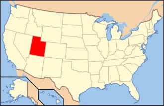
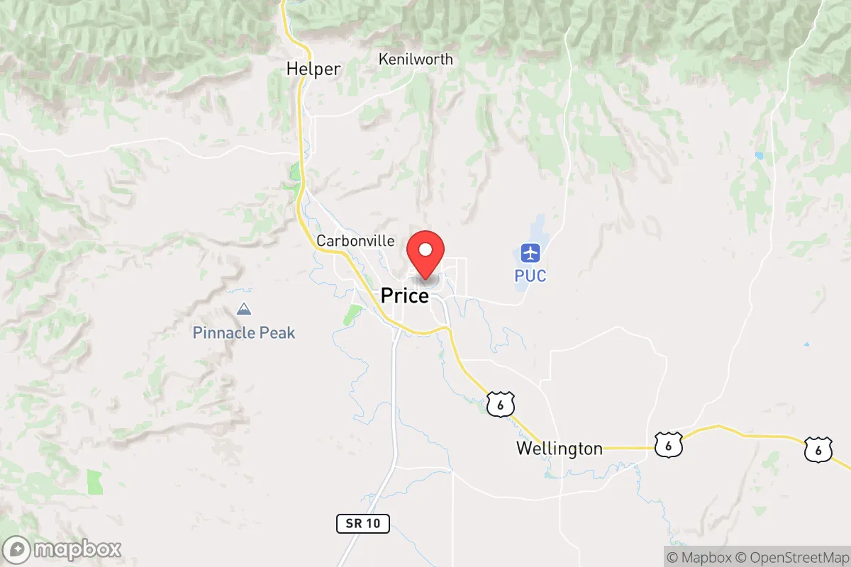
Price sits at roughly 5,600 feet in elevation within the Price River Valley, flanked by the Book Cliffs to the north and the Wasatch Plateau to the west. This positioning provides a natural buffer: the surrounding mountain ranges and vast stretches of Bureau of Land Management (BLM) and national forest land create significant physical separation from the Wasatch Front, where the bulk of Utah's population and infrastructure are concentrated. The nearest major metropolitan area, Salt Lake City, is roughly 120 miles northwest via US-6, a route that crosses Soldier Summit and can be challenging in winter but also serves as a natural chokepoint. For the resilience-minded reader, this distance is an asset. Price is far enough from the urban core to avoid the cascading failures of a major metropolitan grid collapse, yet close enough (about a two-hour drive) to access specialized medical care or supply chains if needed. The surrounding landscape also offers abundant public land for hunting, foraging, and exploration, with the Manti-La Sal National Forest and Desolation Canyon providing significant backcountry resources. The region's semi-arid climate means fewer weather-related disruptions than many other parts of the country, though water availability is a serious consideration discussed below.
Risks, exposures, and proximity to fallout-relevant landmarks
No resilience assessment is honest without addressing the area's real vulnerabilities. Price's most significant risk exposure comes from its location within a seismically active region; Utah experiences frequent small earthquakes, and the Wasatch Fault zone, while not directly under Price, could produce a major event that would disrupt supply routes and energy infrastructure along the Wasatch Front. A significant quake could damage the US-6 corridor, effectively isolating Price from the north for days or weeks. Additionally, the region is prone to drought and wildfire, particularly in late summer and fall, with the surrounding pinyon-juniper and sagebrush ecosystems capable of carrying fast-moving fires. Flooding in the Price River corridor is a localized but recurring hazard during spring runoff and intense summer storms. From a man-made risk perspective, Price's proximity to the Uinta Basin—home to extensive oil and gas development—means that industrial accidents, pipeline ruptures, or chemical releases are plausible, though not frequent. The area is also within roughly 150 miles of the Intermountain West's critical infrastructure nodes, including the Tooele Army Depot and Dugway Proving Ground, which store and handle chemical munitions and other hazardous materials. While not directly downwind in most prevailing weather patterns, the possibility of airborne contamination from a major incident at these facilities is a non-zero risk that the serious prepper should acknowledge. Price is far enough from major population centers to avoid the immediate chaos of a metropolitan disaster, but it is not so remote as to be entirely disconnected from the vulnerabilities of the modern industrial landscape.
Practical resilience for a relocator: food, water, energy, and defensibility
For the relocator evaluating day-to-day and long-term self-sufficiency, Price offers a mixed but generally favorable picture. Water is the most critical constraint. The region averages only about 10-12 inches of precipitation annually, and the local water supply is heavily dependent on the Price River and groundwater from the Ferron and Price River aquifers. While municipal water is generally reliable, drought conditions have led to periodic restrictions. For a household seeking true independence, investing in rainwater catchment (though limited by low rainfall), a deep well, or a connection to a secondary irrigation system is advisable. The Carbon County area does have agricultural water rights and some small-scale farming, but large-scale food production is not viable without irrigation. Energy resilience is a relative strength. Price is located in a coal-producing region—the nearby Huntington and Hunter power plants provide substantial electricity generation—and while coal's long-term future is uncertain, the local grid is stable. Solar potential is excellent, with over 260 sunny days per year, making rooftop photovoltaic systems a practical investment for off-grid capability. Natural gas is available in town, and propane is widely used in outlying areas. Food security is achievable but requires planning. The local grocery infrastructure includes a Walmart Supercenter, a Smith's, and several smaller markets, but supply chains are thin compared to the Wasatch Front. A major disruption could empty shelves quickly. The area does support some local agriculture—hay, cattle, and small-scale vegetable production—and the nearby Uinta Basin has a growing number of farms and ranches. Establishing relationships with local producers and investing in a substantial home garden (with season extension like hoop houses) is strongly recommended. Defensibility is one of Price's stronger attributes. The town itself is laid out in a valley with limited entry points, and the surrounding terrain offers numerous natural chokepoints. The local culture is notably gun-friendly, with a strong hunting and shooting tradition, and law enforcement presence is adequate but not heavy. For a family or small group, a well-chosen property on the outskirts of town—with good sightlines, a reliable water source, and defensible access—would be far easier to secure than a suburban lot in a major metro area. The community itself is tight-knit, with a "neighbor helps neighbor" ethos that is increasingly rare in urban environments, though newcomers should expect to earn that trust over time.
Overall, Price, Utah, represents a solid B+ to A- option for the resilience-focused relocator who values isolation, resource availability, and a self-sufficient mindset without wanting to live completely off-grid in a remote cabin. Its geographic separation from the Wasatch Front provides meaningful protection from the worst cascading effects of a major urban disaster, while still offering access to essential services and infrastructure. The trade-offs are real: water scarcity, seismic risk, and a limited local food system require proactive planning. But for the reader who is serious about preparedness and willing to invest in well-drilling, solar arrays, and food storage, Price offers a defensible, resource-rich base of operations in one of the most strategically advantageous regions of the Intermountain West. It is not a bug-out location for the unprepared—it is a long-term home for those who understand that resilience is built, not found.

* Values derived from national, state, county, city and local statistics and may differ in a specific area. Last updated: 2026-10-17T03:53:25.000Z
Narrative content on this page is AI-generated and may contain mistakes. Verify any details that matter before acting on them.
ReloMaps may earn a commission from affiliate links at no extra cost to you.

