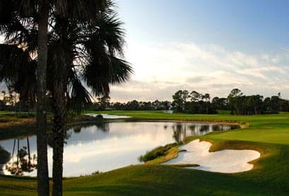
Photo: Wikipedia
Strategic Assessment of Port Saint Lucie, FL
Meaningful friction. Expect exposure to either population pressure, blast zones, or natural disaster risk. Consider buying a retreat property.
What does the Strategic Assessment tell us?
Our Strategic Assessment grades tactical survivability of an area. Major population centers, military targets, fallout zones, natural disasters, and border exposure all drive risk — lower exposure means a more defensible position in a crisis.
This is heavily inspired by Joel Skousen's Strategic Relocation book. Highly recommended you checkout the book ($)What does this tell us?
Our Strategic Assessment grades tactical survivability of an area. Major population centers, military targets, fallout zones, natural disasters, and border exposure all drive risk — lower exposure means a more defensible position in a crisis.
This is heavily inspired by Joel Skousen's Strategic Relocation book. Highly recommended you checkout the book ($)Strategic Pillars

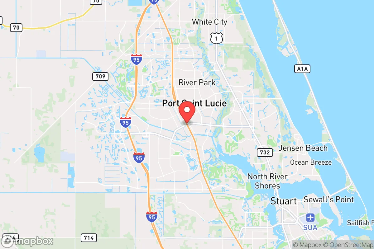
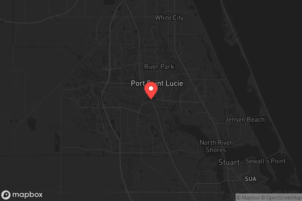
Key Distances
Regional Safe Places
Below is our recommended "safe zones" in Florida and the surrounding area based on our strategic heuristics. For most people, it's unrealistic to live in a “safe zone” full-time due to work, family or other personal reasons. They tend to be more rural. However, many of these areas are perfect for second homes and retreat properties that double as a vacation home or even a short-term rental.

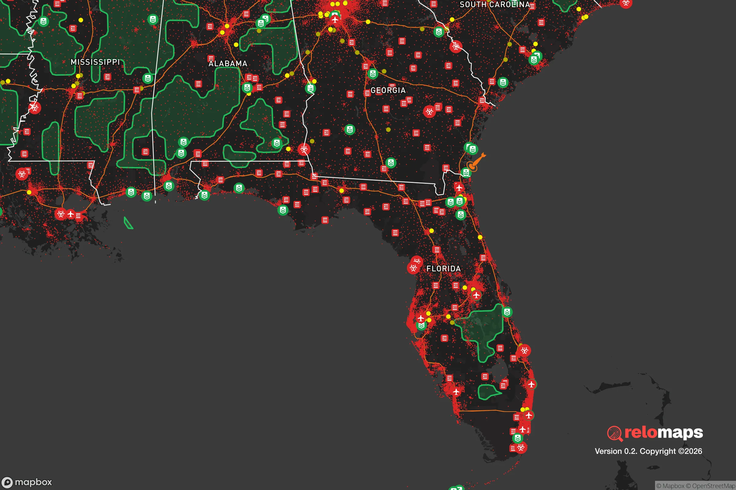


Important Note: For informational purposes only. This does not mean nothing bad ever happens in the green zones. Please use common sense. This is based on public data and modeled with AI. We tried to take a conservative approach but mistakes happen. We update this regularly as new information becomes available.
Solar Generator Recommendations
Backup power matters more here than in safer locations. We've picked three solar generators across budgets and capacity tiers — start with the budget unit if you only need a few essentials, or step up if you want to run a fridge and HVAC for days at a time.

Jackery Portable Power Station Explorer 300
Budget OptionPower on the Go: Weighing only 11 lbs, it's convenient to set up and store with book-sized foldable solar panels

BLUETTI Portable Power Station AC180
Designed for both indoor and outdoor scenarios, AC180 is highly capable as it has a robost capacity and continuous output power.

EF ECOFLOW DELTA Pro Ultra Power Station
Upgraded PickEcoFlow DELTA Pro Ultra is a whole-home energy system designed to grow with your family. Integrated with the Smart Home Panel 2, it scales to meet your evolving energy needs — keeping your home powered, intelligent, and secure through every stage of life.
We earn a commission, at no additional cost to you.
Strategic Assessment Analysis
Port Saint Lucie offers a mixed strategic picture for the relocation-minded conservative reader focused on resilience and self-sufficiency. Its primary advantage is geographic insulation from the most acute fallout risks of major metropolitan targets, while its primary vulnerability is a significant exposure to Atlantic hurricane threats. The city sits roughly 100 miles north of Miami and 120 miles southeast of Orlando, placing it outside the immediate blast and fallout zones of those major population centers, yet within a day’s drive of their logistical and medical infrastructure. This positioning gives a relocator a meaningful buffer against the worst-case scenarios of a major disruption, but it demands serious preparation for the region’s natural hazards.
Geographic position and natural advantages for long-term stability
Port Saint Lucie’s location on Florida’s Atlantic coast, roughly midway between Jacksonville and Miami, provides several structural advantages. The city is situated on the Atlantic Coastal Ridge, a natural elevation that offers slightly higher ground than the surrounding marshlands and floodplains, though the average elevation is still only about 15 to 25 feet above sea level. This ridge reduces, but does not eliminate, flood risk from storm surge, as the city’s eastern neighborhoods along the Indian River Lagoon and the St. Lucie River are more exposed. The area benefits from the St. Lucie River and the C-23 and C-24 canals, which provide drainage and water access, but these same waterways can become liabilities during heavy rainfall events. The region’s subtropical climate means a long growing season—roughly 300 days of frost-free weather—which is a genuine asset for anyone serious about food self-sufficiency. The soil is sandy and acidic, typical of coastal Florida, requiring amendment for productive gardening, but the climate allows for year-round cultivation of staples like citrus, avocados, sweet potatoes, and leafy greens. The proximity to the Atlantic Ocean also means access to marine protein, though this is a resource that would be contested in a crisis. The city’s position along the I-95 corridor provides a major north-south evacuation route, but this same corridor is a vulnerability in a mass-displacement event, as it would become a choke point.
Risks, exposures, and proximity to fallout-relevant landmarks
The most significant risk to Port Saint Lucie is its location in the Atlantic hurricane belt. The city has a direct hit probability of roughly once every 10 to 15 years, with major hurricanes (Category 3 or higher) being a realistic threat. Hurricane Matthew in 2016 and Hurricane Dorian in 2019 both caused significant wind damage and power outages, while Hurricane Irma in 2017 brought widespread flooding. The city’s building codes are modern—post-Andrew standards apply—but many homes built before 2000 lack impact-resistant windows and reinforced roofs. The risk of storm surge is concentrated within a mile of the coast and along the St. Lucie River, but inland areas are more vulnerable to freshwater flooding from prolonged rainfall. Beyond natural hazards, the area’s strategic value is low for a man-made event. Port Saint Lucie is not a major military, industrial, or political target. The nearest high-value targets are the Patrick Space Force Base (about 50 miles north), the Port of Palm Beach (about 40 miles south), and the nuclear power plant at St. Lucie County (about 15 miles north of the city center). The St. Lucie Nuclear Power Plant, operated by Florida Power & Light, is a dual-reactor facility that is a potential radiological hazard in the event of a catastrophic failure or attack. However, the prevailing wind patterns in the region are from the east and southeast, meaning fallout from a plant incident would likely be carried inland away from the city. The city’s distance from major metropolitan areas—Miami, Fort Lauderdale, West Palm Beach, and Orlando—means it is not in the primary fallout zone of a nuclear detonation in those cities, but it would be in the secondary zone for lighter fallout if winds are unfavorable. The I-95 corridor itself is a vulnerability, as it would be a primary route for refugees fleeing south Florida in a crisis, potentially overwhelming local resources.
Practical resilience for a relocator: food, water, energy, and defensibility
For a relocator focused on self-sufficiency, Port Saint Lucie offers a workable but not ideal baseline. The city’s water supply comes from the Floridan Aquifer, a massive underground freshwater source that is generally reliable and less vulnerable to surface contamination than many other regions. However, the aquifer is under increasing pressure from population growth and saltwater intrusion along the coast. A private well is a viable option for those on larger lots, but the city’s suburban character means most properties are on municipal water. The local climate supports rainwater catchment, with an average of 54 inches of rainfall per year, concentrated in the June-to-September wet season. Food resilience is a mixed picture. The area has a strong agricultural base—citrus, cattle, and row crops are common in the surrounding St. Lucie County—but the city itself is heavily suburban, with most residents dependent on grocery stores. The nearest major food distribution hubs are in West Palm Beach and Orlando, both about an hour away. For energy, the grid is vulnerable to hurricane-related outages, which can last days to weeks. Solar panels with battery storage are a practical investment, as the region averages 237 sunny days per year. Natural gas is available in many neighborhoods, but propane tanks are a more resilient option for cooking and heating. Defensibility is a challenge. Port Saint Lucie is a sprawling, low-density suburb with a grid-like street pattern and many cul-de-sacs, which makes it difficult to secure a perimeter. The city’s population of roughly 220,000 is spread over 120 square miles, meaning there are few natural chokepoints. The best defensive strategy is to choose a property on a larger lot—ideally 1 acre or more—with a clear line of sight to the street and a rear buffer of undeveloped land or a waterway. The city’s crime rate is moderate, with property crime being the primary concern, but violent crime is below the national average. The local law enforcement presence is adequate for normal conditions, but would be stretched thin in a crisis.
The overall strategic picture for Port Saint Lucie is one of moderate resilience with clear trade-offs. The city offers a genuine buffer from the worst-case scenarios of a major metropolitan collapse, with a climate that supports year-round food production and a water source that is relatively secure. However, the hurricane risk is real and demands serious preparation—structural hardening, food and water storage for at least two weeks, and a reliable backup power source. The area’s suburban sprawl and dependence on the I-95 corridor make it less defensible than a more rural location, but more practical for someone who wants to maintain access to medical care, supplies, and a community of like-minded individuals. For the conservative relocator who values self-sufficiency but is not ready for a full off-grid existence, Port Saint Lucie represents a reasonable middle ground—a place that is far enough from the major targets to offer a margin of safety, but close enough to the coast and the highway to remain connected. The key is to go in with eyes open: prepare for the storms, secure your own resources, and choose your specific neighborhood with defensibility and water access in mind.

* Values derived from national, state, county, city and local statistics and may differ in a specific area. Last updated: 2026-11-08T11:04:56.000Z
Narrative content on this page is AI-generated and may contain mistakes. Verify any details that matter before acting on them.
ReloMaps may earn a commission from affiliate links at no extra cost to you.

