
Photo: Wikipedia
Strategic Assessment of Westmoreland County
Meaningful friction. Expect exposure to either population pressure, blast zones, or natural disaster risk. Consider buying a retreat property.
What does the Strategic Assessment tell us?
Our Strategic Assessment grades tactical survivability of an area. Major population centers, military targets, fallout zones, natural disasters, and border exposure all drive risk — lower exposure means a more defensible position in a crisis.
This is heavily inspired by Joel Skousen's Strategic Relocation book. Highly recommended you checkout the book ($)What does this tell us?
Our Strategic Assessment grades tactical survivability of an area. Major population centers, military targets, fallout zones, natural disasters, and border exposure all drive risk — lower exposure means a more defensible position in a crisis.
This is heavily inspired by Joel Skousen's Strategic Relocation book. Highly recommended you checkout the book ($)Strategic Pillars

Key Distances
Strategic Assessment Analysis
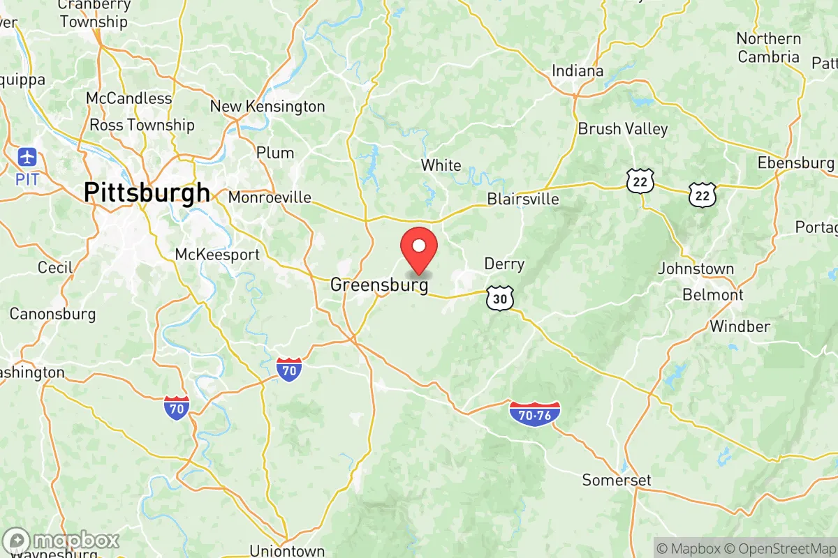
Westmoreland County, Pennsylvania, offers a compelling strategic profile for relocators prioritizing resilience and self-sufficiency, balancing proximity to major urban centers with a genuinely rural and semi-rural character. Located roughly 30 miles east of Pittsburgh, the county provides a buffer from the immediate fallout risks and congestion of a major metropolitan area while retaining access to its economic and logistical resources. Its position in the Laurel Highlands, with rolling hills, abundant water, and a mix of farmland and forest, creates a defensible and resource-rich environment that stands out among counties within a two-hour drive of the Pittsburgh metro.
Geographic position and natural advantages for self-sufficiency
Westmoreland County’s geography is its primary strategic asset. The county sits at the western edge of the Appalachian Plateau, with elevations ranging from roughly 800 to 2,500 feet, providing natural terrain that slows movement and offers defensible positions. The area is drained by the Kiskiminetas River, the Loyalhanna Creek, and the Youghiogheny River, which together form a reliable surface water network. The Youghiogheny River Lake, a U.S. Army Corps of Engineers reservoir near Confluence, provides a significant backup water source and recreational resource. The county’s soils, particularly in the southern and eastern townships around Mount Pleasant and Scottdale, support productive agriculture, with a long history of apple orchards, dairy farms, and row crops. This agricultural base, combined with the region’s moderate climate (average annual rainfall of 40 inches, growing season of 150–170 days), means a relocator with land can realistically produce a meaningful portion of their own food. The county’s forest cover—over 60% of the land area—offers timber for fuel, construction, and foraging, as well as wildlife for hunting (deer, turkey, small game). The proximity to the Laurel Highlands State Park and Forbes State Forest provides additional public land for resource gathering, though private land ownership is the more reliable long-term strategy.
Risks, exposures, and proximity to fallout-relevant landmarks
While Westmoreland County is far from the highest-risk zones, it is not immune to man-made and natural hazards. The most significant man-made risk is the Bushy Run Natural Gas Processing Plant near New Stanton, a major Marcellus Shale infrastructure hub that processes over 1 billion cubic feet of natural gas per day. A catastrophic failure or intentional attack at this facility could produce a large vapor cloud explosion or toxic release, though prevailing winds generally carry such hazards eastward, away from the county’s population centers. The county also hosts the Westmoreland County Industrial Park near Smithton, which includes chemical and manufacturing operations. For relocators concerned with nuclear fallout, the county’s distance from the Beaver Valley Nuclear Power Station (about 40 miles northwest) and the Shippingport Atomic Power Station (decommissioned but still a spent fuel storage site) is a moderate positive. However, the county lies within the 50-mile emergency planning zone of the Beaver Valley plant, meaning a major release could affect the area depending on wind direction. Natural hazards are limited: the county experiences occasional flash flooding in low-lying areas along the Youghiogheny and Loyalhanna, and winter storms can disrupt power and travel for days. Tornado risk is low but not zero—the county averages one or two weak tornadoes per decade. Earthquake risk is negligible. The county’s primary vulnerability is its reliance on the Pittsburgh metro for specialized goods and services; a major disruption to the city’s infrastructure (e.g., a cyberattack on the Port of Pittsburgh or a failure of the city’s water treatment plants) would cascade into Westmoreland within days.
Practical resilience for a relocator: food, water, energy, and defensibility
For a relocator serious about self-sufficiency, Westmoreland County offers a strong baseline but requires deliberate preparation. Food security is the county’s standout strength. The area around Latrobe and Greensburg has a dense network of small farms, farmers’ markets, and u-pick operations. The Westmoreland County Farm Bureau and local extension offices provide resources for new growers. A 5- to 10-acre parcel in the southern or eastern townships can support a family’s vegetable, fruit, and protein needs with proper planning. Water security is excellent: the county’s groundwater is generally clean and accessible via private wells (average depth 100–200 feet), and surface water from the Youghiogheny and its tributaries is abundant. However, well water should be tested for methane and other contaminants from nearby gas drilling operations. Energy resilience is mixed. The county is served by West Penn Power and has a reliable grid, but rural areas experience outages during storms. Solar potential is moderate—the region averages 4.0–4.5 peak sun hours per day, enough for a well-designed off-grid system with battery storage. Natural gas is widely available in developed areas, and propane is common in rural zones. Wood heating is practical given the forest cover. Defensibility is the county’s most underrated asset. The terrain—steep ridges, narrow valleys, and limited road networks—creates natural choke points. The major east-west routes (I-76, US-30, US-22) and north-south routes (PA-66, PA-119) are easily monitored and, in a crisis, could be controlled by local communities. The county’s population density (roughly 350 people per square mile in the central corridor, dropping to under 100 in the eastern townships) means that a determined relocator can find a property with significant buffer from neighbors. The presence of the Westmoreland County Airport near Latrobe and the Arnold Palmer Regional Airport provides a potential evacuation or supply route by air, though these facilities would likely be contested in a major crisis.
The overall strategic picture for Westmoreland County is one of moderate-to-high resilience with manageable trade-offs. It is not a remote survivalist redoubt—it is a working county with a real economy, real infrastructure, and real exposure to regional risks. But for a relocator who values proximity to Pittsburgh’s medical and logistical resources while maintaining the ability to produce their own food, water, and energy, it is one of the stronger options within a 200-mile radius of the Northeast Corridor. The key is to choose a property in the eastern or southern townships—away from the gas infrastructure near New Stanton and the flood-prone valleys—and to invest in well water, solar, and wood heat from day one. The county’s political culture, which leans conservative but is not extreme, supports a culture of self-reliance and neighborly mutual aid. For the reader thinking seriously about disaster readiness, Westmoreland County deserves a place on the short list.

* Values derived from national, state, county, city and local statistics and may differ in a specific area. Last updated: 2026-06-16T11:24:54.000Z
Narrative content on this page is AI-generated and may contain mistakes. Verify any details that matter before acting on them.
ReloMaps may earn a commission from affiliate links at no extra cost to you.

