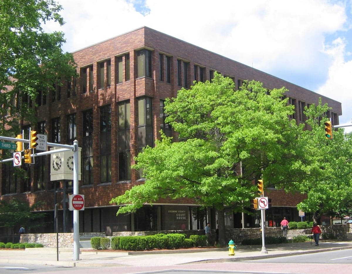
Photo: Wikipedia
Strategic Assessment of Lycoming County
Meaningful friction. Expect exposure to either population pressure, blast zones, or natural disaster risk. Consider buying a retreat property.
What does the Strategic Assessment tell us?
Our Strategic Assessment grades tactical survivability of an area. Major population centers, military targets, fallout zones, natural disasters, and border exposure all drive risk — lower exposure means a more defensible position in a crisis.
This is heavily inspired by Joel Skousen's Strategic Relocation book. Highly recommended you checkout the book ($)What does this tell us?
Our Strategic Assessment grades tactical survivability of an area. Major population centers, military targets, fallout zones, natural disasters, and border exposure all drive risk — lower exposure means a more defensible position in a crisis.
This is heavily inspired by Joel Skousen's Strategic Relocation book. Highly recommended you checkout the book ($)Strategic Pillars

Key Distances
Strategic Assessment Analysis
Lycoming County, Pennsylvania, offers a strategic blend of geographic isolation and practical self-sufficiency that appeals to relocators prioritizing resilience and preparedness. Anchored by the city of Williamsport, the county sits in the north-central tier of the state, far from the major population corridors of the I-95 Northeast and the Philadelphia-to-Pittsburgh axis. Its position in the Susquehanna River Valley, surrounded by the Endless Mountains and the Tioga State Forest, provides a natural buffer against both coastal storm surges and the fallout risks associated with major metropolitan targets. For a conservative-leaning audience focused on disaster readiness, Lycoming County represents a viable middle ground—close enough to supply chains and medical hubs like Geisinger Medical Center in Danville, yet remote enough to offer genuine separation from the vulnerabilities of dense urban centers.
Geographic position and natural advantages for disaster readiness
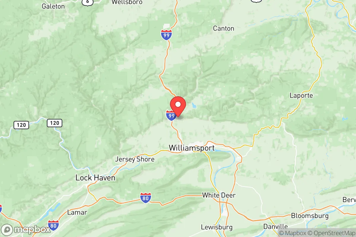
Lycoming County’s topography is its first line of defense. The county is bisected by the West Branch Susquehanna River, but the surrounding ridges—Bald Eagle Mountain, North Mountain, and the Allegheny Front—create a series of natural barriers that slow access and limit exposure. The county’s 1,200 square miles include over 300,000 acres of state game lands and the Loyalsock State Forest, providing both timber resources and wildlife for subsistence. The nearest major city, Harrisburg, is roughly 80 miles south, while New York City and Philadelphia are each over 150 miles away—well outside the primary blast and fallout zones of a high-yield detonation. The county’s elevation ranges from 500 to over 2,000 feet, with the higher terrain in the northern and western townships offering defensible positions with long views of approaching threats. The Susquehanna River itself is a reliable water source, though its floodplain—particularly around Williamsport, Montoursville, and Muncy—has historically been prone to ice jams and spring flooding, a trade-off that relocators must account for when choosing a specific parcel.
Risks, exposures, and proximity to fallout-relevant landmarks
While Lycoming County avoids the worst of coastal and metropolitan risks, it is not without exposure. The county hosts the Williamsport Regional Airport, a small commercial and general aviation field that could become a secondary target in a conflict scenario, though its strategic value is low. More significant is the presence of the Pennsylvania College of Technology and the nearby UPMC Williamsport hospital—both critical infrastructure that could attract secondary strikes or become chokepoints for refugee flow. The county also lies within 100 miles of the Susquehanna Steam Electric Station (a nuclear power plant in Luzerne County) and the Three Mile Island site (now decommissioned but still storing spent fuel). A catastrophic failure at either would place Lycoming County in a downwind plume path depending on prevailing winds. Additionally, the county’s natural gas infrastructure—including the Marcellus Shale wells and compressor stations in the northern townships—presents a risk of industrial accidents or sabotage. The I-180 and U.S. Route 15 corridors, which connect Williamsport to I-80 and points south, are evacuation and supply routes that could become congested or targeted. For a relocator, the safest zones are the rural townships north of the river—Cogan Station, Trout Run, and Ralston—where population density drops below 20 people per square mile and road access is limited to two-lane state routes.
Practical resilience for a relocator: food, water, energy, and defensibility
Lycoming County’s practical resilience is strong but requires deliberate planning. The county’s agricultural base is modest—about 1,200 farms covering 150,000 acres—but it produces enough dairy, poultry, and row crops (corn, soybeans, hay) to support a local food network. The Williamsport Growers Market and several CSAs operate year-round, and the county’s deer population is robust enough to provide a sustainable protein source for a prepared household. Water is abundant: the Susquehanna River and its tributaries (Loyalsock Creek, Pine Creek, and Lycoming Creek) offer surface water, while groundwater wells are common in rural areas. The county’s average annual rainfall of 40 inches supports rain catchment systems. Energy resilience is a mixed picture. The grid is served by PPL Electric Utilities, with above-ground lines that are vulnerable to ice storms and wind events—both common in the region. However, the county’s natural gas wells and the nearby Williamsport LNG storage facility provide a potential fuel source for generators and heating. Solar potential is moderate (about 4.5 peak sun hours per day), and many rural properties already use wood stoves for primary heat, given the county’s 70% forest cover. Defensibility is excellent in the northern and western townships: narrow valley roads, dense forest, and limited cell coverage create natural chokepoints. The county’s sheriff’s department and local police are professional but thinly stretched—about 1.5 officers per 1,000 residents—meaning that community watch and private security arrangements are practical considerations for a serious preparedness plan.
Overall, Lycoming County presents a balanced strategic picture for the disaster-conscious relocator. It offers genuine separation from the high-risk urban and industrial targets of the Northeast, while retaining access to medical care, supply routes, and natural resources. The trade-offs are real: the flood risk along the Susquehanna, the proximity to nuclear and gas infrastructure, and the seasonal isolation from winter storms require a relocator to be proactive rather than passive. For a family or individual willing to invest in a well-chosen property—elevated, wooded, with a private well and backup heat—Lycoming County provides a defensible, resource-rich base that is neither a remote wilderness nor a vulnerable suburb. It is a place where preparedness is not just theoretical but embedded in the landscape and the local culture of self-reliance.

* Values derived from national, state, county, city and local statistics and may differ in a specific area. Last updated: 2026-07-25T17:20:41.000Z
Narrative content on this page is AI-generated and may contain mistakes. Verify any details that matter before acting on them.
ReloMaps may earn a commission from affiliate links at no extra cost to you.

