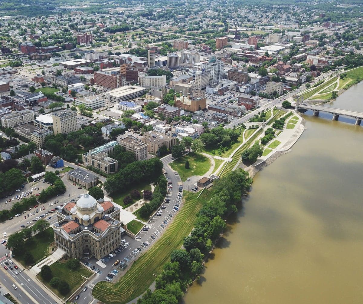
Photo: Wikipedia
Strategic Assessment of Luzerne County
Meaningful friction. Expect exposure to either population pressure, blast zones, or natural disaster risk. Consider buying a retreat property.
What does the Strategic Assessment tell us?
Our Strategic Assessment grades tactical survivability of an area. Major population centers, military targets, fallout zones, natural disasters, and border exposure all drive risk — lower exposure means a more defensible position in a crisis.
This is heavily inspired by Joel Skousen's Strategic Relocation book. Highly recommended you checkout the book ($)What does this tell us?
Our Strategic Assessment grades tactical survivability of an area. Major population centers, military targets, fallout zones, natural disasters, and border exposure all drive risk — lower exposure means a more defensible position in a crisis.
This is heavily inspired by Joel Skousen's Strategic Relocation book. Highly recommended you checkout the book ($)Strategic Pillars

Key Distances
Strategic Assessment Analysis
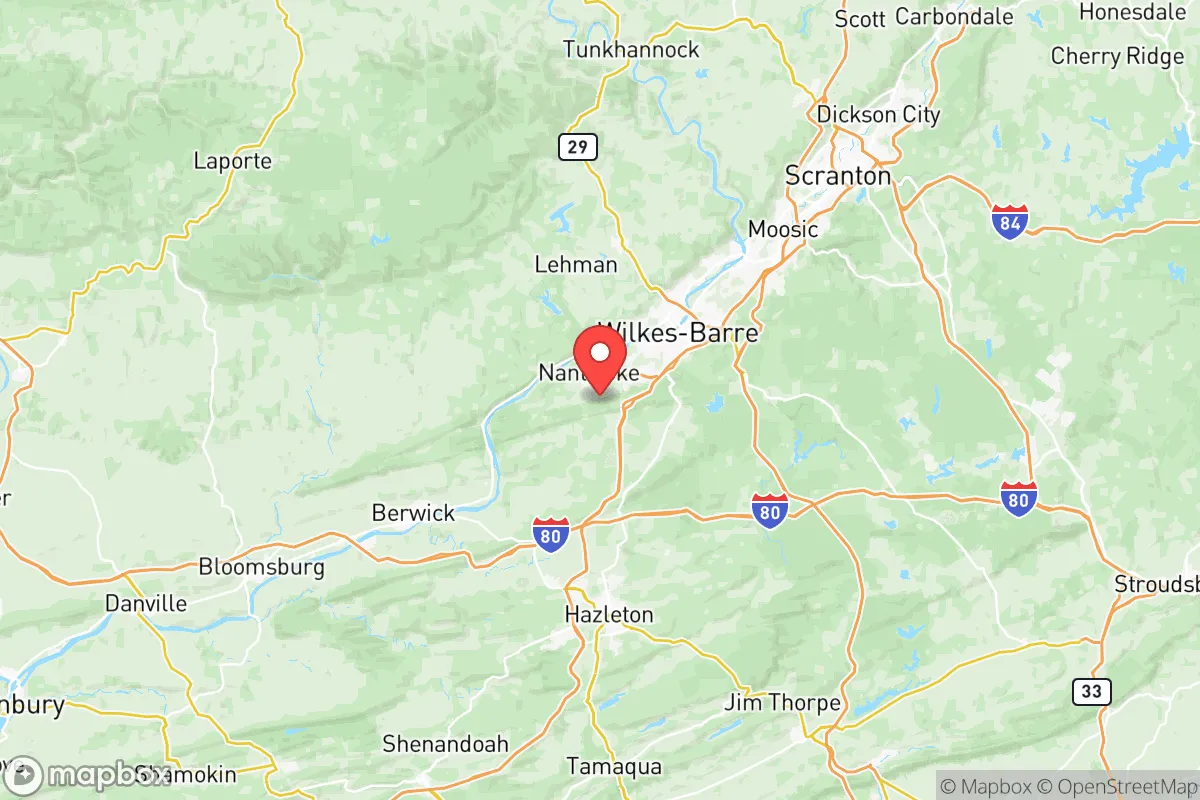
Luzerne County, Pennsylvania, offers a compelling mix of geographic resilience and practical self-sufficiency potential for relocators who prioritize disaster readiness. Situated in the Wyoming Valley along the North Branch of the Susquehanna River, the county benefits from a position that is far enough from major metropolitan targets like New York City and Philadelphia—each roughly 100–120 miles away—to reduce direct fallout exposure, yet close enough to access supply chains and medical infrastructure when needed. The area’s historical role as a coal and industrial hub has left it with a built-in network of rural roads, rail lines, and small airports that support decentralized movement, a key advantage for those thinking about strategic relocation.
Geographic position and natural advantages for disaster preparedness
Luzerne County’s topography is a major asset for resilience. The county sits within the Ridge-and-Valley Appalachians, with the Pocono Plateau to the east and the Endless Mountains to the north. This terrain provides natural barriers against storm surges and flooding from coastal events, while the higher elevations—particularly around towns like Bear Creek Village and Mountain Top—offer defensible positions with good visibility and limited access points. The Susquehanna River, while a flood risk in low-lying areas like Wilkes-Barre and Plymouth, also provides a reliable freshwater source for those who secure property above the 100-year floodplain. The county’s location in the northeastern U.S. means it is less prone to the extreme weather events that plague the Gulf Coast or Tornado Alley; winter storms are the primary natural hazard, and these are generally manageable with proper preparation. The region’s abundant forests and farmland—especially in the western and northern townships—support hunting, foraging, and small-scale agriculture, making it easier to achieve food independence.
Risks, exposures, and proximity to fallout-relevant landmarks
While Luzerne County avoids the worst of coastal and metropolitan risks, it is not without exposure. The county’s industrial legacy includes several sites that could be secondary targets or sources of contamination. The PPL Susquehanna Steam Electric Station in Salem Township, a nuclear power plant with two reactors, is a notable concern; a major incident there could affect downwind areas, though the plant’s design and security protocols are robust. Additionally, the county’s proximity to the Interstate 81 and Interstate 80 corridors means that transportation of hazardous materials is a routine risk, particularly near the Hazleton area, where truck traffic is heavy. The Wilkes-Barre/Scranton International Airport in Avoca is a small regional hub, but it could be a secondary target in a conflict scenario. More broadly, the county’s location within 150 miles of the New York City metro area and the Philadelphia-Camden-Wilmington corridor means that fallout from a major strike on those targets could reach Luzerne County within hours, depending on wind patterns. The Fort Indiantown Gap military installation, about 70 miles southwest, is a potential target, though its primary role as a training center reduces its strategic value. For a relocator, the key is to choose property in the county’s higher, more rural areas—like Fairmount Township or Ross Township—to minimize exposure to these risks.
Practical resilience for a relocator: food, water, energy, and defensibility
Luzerne County offers strong practical resilience for those willing to invest in preparation. Water availability is excellent: the Susquehanna River and its tributaries, including the Lackawanna River and the Lehigh River, provide surface water, while the region’s geology supports private wells in most rural areas. Municipal water systems in Wilkes-Barre and surrounding boroughs are treated and reliable, but a relocator should plan for a backup well or rainwater catchment system, especially in the higher elevations where groundwater can be deeper. Food security is bolstered by the county’s agricultural base: there are over 600 farms in Luzerne County, producing dairy, poultry, vegetables, and hay. Farmers’ markets in Dallas and Nanticoke offer local sourcing, and the growing network of community-supported agriculture (CSA) programs makes it easy to establish supply relationships. For energy, the county has a mix of grid-supplied electricity from coal, natural gas, and nuclear sources, but the terrain is well-suited for solar panels, and wood-burning stoves are common in older homes. The county’s rural character also supports defensibility: many properties in the northern and western townships are set back from main roads, with natural chokepoints like narrow valleys and single-lane bridges. The local population, while not uniformly prepared, includes a significant number of hunters, outdoorsmen, and former miners who possess practical skills in construction, mechanics, and land management. The Luzerne County Emergency Management Agency coordinates disaster response, but individual preparedness is expected, especially in unincorporated areas where services are sparse.
Overall, Luzerne County presents a balanced strategic picture for the disaster-conscious relocator. Its geographic position offers a buffer from the highest-risk zones while maintaining access to critical resources, and its natural advantages—water, farmland, defensible terrain—support long-term self-sufficiency. The risks are real but manageable: flooding in the river valleys, industrial hazards near the nuclear plant and transport corridors, and the potential for fallout from distant metropolitan targets. For a single individual or family willing to choose property wisely—above floodplains, away from major highways, and with a focus on renewable energy and water independence—Luzerne County provides a solid foundation for resilience without the isolation of more remote locations. It is not a bunker, but it is a place where a prepared relocator can build a sustainable, secure life.

* Values derived from national, state, county, city and local statistics and may differ in a specific area. Last updated: 2026-07-17T04:58:48.000Z
Narrative content on this page is AI-generated and may contain mistakes. Verify any details that matter before acting on them.
ReloMaps may earn a commission from affiliate links at no extra cost to you.

