Photo: Wikipedia
Strategic Assessment of Oxnard, CA
High tactical risk. This location is likely close to major population centers, strategic targets, or sits in a high-disaster corridor. A retreat property and careful exit planning is required.
What does the Strategic Assessment tell us?
Our Strategic Assessment grades tactical survivability of an area. Major population centers, military targets, fallout zones, natural disasters, and border exposure all drive risk — lower exposure means a more defensible position in a crisis.
This is heavily inspired by Joel Skousen's Strategic Relocation book. Highly recommended you checkout the book ($)What does this tell us?
Our Strategic Assessment grades tactical survivability of an area. Major population centers, military targets, fallout zones, natural disasters, and border exposure all drive risk — lower exposure means a more defensible position in a crisis.
This is heavily inspired by Joel Skousen's Strategic Relocation book. Highly recommended you checkout the book ($)Strategic Pillars

Key Distances
Regional Safe Places
Below is our recommended "safe zones" in California and the surrounding area based on our strategic heuristics. For most people, it's unrealistic to live in a “safe zone” full-time due to work, family or other personal reasons. They tend to be more rural. However, many of these areas are perfect for second homes and retreat properties that double as a vacation home or even a short-term rental.


Important Note: For informational purposes only. This does not mean nothing bad ever happens in the green zones. Please use common sense. This is based on public data and modeled with AI. We tried to take a conservative approach but mistakes happen. We update this regularly as new information becomes available.
Solar Generator Recommendations
Backup power matters more here than in safer locations. We've picked three solar generators across budgets and capacity tiers — start with the budget unit if you only need a few essentials, or step up if you want to run a fridge and HVAC for days at a time.

Jackery Portable Power Station Explorer 300
Budget OptionPower on the Go: Weighing only 11 lbs, it's convenient to set up and store with book-sized foldable solar panels

BLUETTI Portable Power Station AC180
Designed for both indoor and outdoor scenarios, AC180 is highly capable as it has a robost capacity and continuous output power.

EF ECOFLOW DELTA Pro Ultra Power Station
Upgraded PickEcoFlow DELTA Pro Ultra is a whole-home energy system designed to grow with your family. Integrated with the Smart Home Panel 2, it scales to meet your evolving energy needs — keeping your home powered, intelligent, and secure through every stage of life.
We earn a commission, at no additional cost to you.
Strategic Assessment Analysis
Oxnard, California, presents a complex strategic picture for the conservative prepper or survivalist. Its location on the Ventura County coast offers genuine resilience advantages—fertile soil, a moderate climate, and a working port—but these are heavily offset by its proximity to major urban centers, critical infrastructure, and high-risk military and industrial targets. For a relocator prioritizing long-term security, self-sufficiency, and distance from fallout zones, Oxnard is a location that demands careful, sober-eyed analysis rather than immediate enthusiasm.
Geographic position and natural advantages for long-term survival
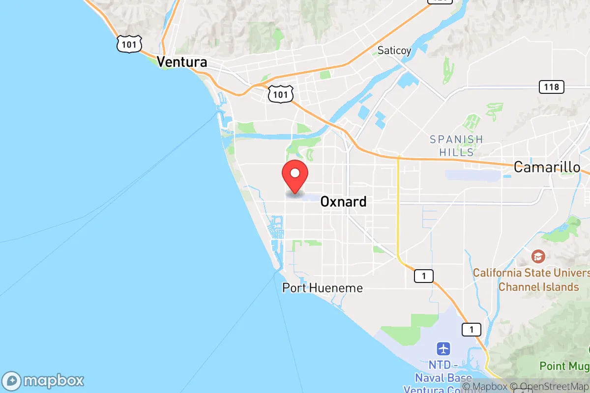
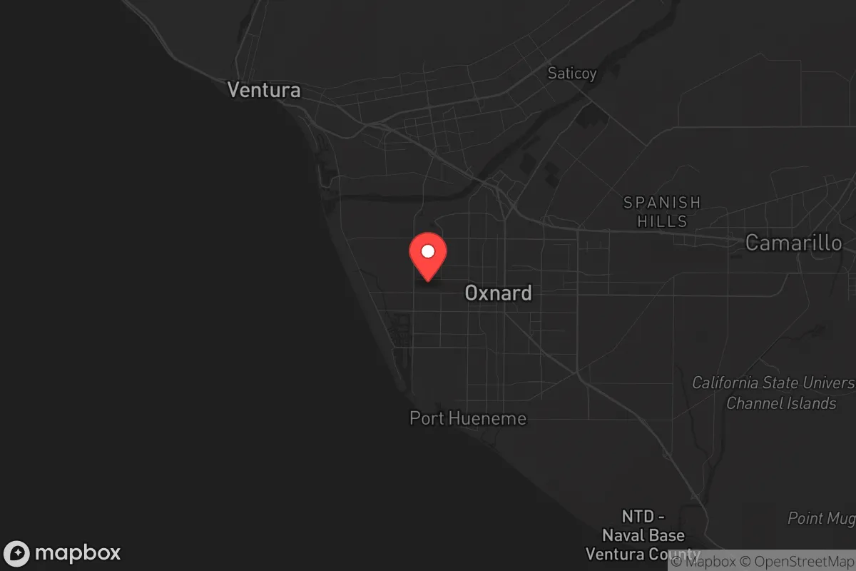
Oxnard sits on the Oxnard Plain, one of the most productive agricultural regions in California. The area benefits from a Mediterranean climate with mild, wet winters and dry summers, allowing for year-round food production. The nearby Santa Clara River provides a freshwater source, and the Pacific Ocean offers potential for fishing and desalination. The city's position between the Santa Monica Mountains to the south and the Topatopa Mountains to the north creates a natural funnel for weather patterns but also limits escape routes. The Oxnard Harbor District, including the Port of Hueneme, is a deep-water port that handles significant cargo traffic, which could be a double-edged sword in a crisis—useful for supply but also a potential target. The surrounding agricultural land, including strawberry, avocado, and citrus farms, means that local food production is a genuine asset, though much of it is commercially controlled. The area's low elevation (roughly 50 feet above sea level) and coastal location make it less vulnerable to earthquakes than inland fault zones, but it is not immune to seismic activity.
Risks, exposures, and proximity to fallout-relevant landmarks
This is where Oxnard's strategic calculus becomes problematic for the survivalist. The city lies roughly 60 miles northwest of Los Angeles, placing it within the blast and fallout radius of a major urban center that would be a primary target in any large-scale conflict. The Port of Hueneme is a U.S. Navy base, home to the Naval Construction Battalion Center and a major logistics hub for the Pacific Fleet. This makes Oxnard a high-probability secondary target in a conventional or nuclear exchange. Additionally, the nearby Naval Air Station Point Mugu (just south) and Vandenberg Space Force Base (about 60 miles north) are critical military installations. The Santa Susana Field Laboratory, a former nuclear research site with a history of partial meltdowns, is roughly 40 miles inland. In a mass casualty event or civil unrest scenario, Oxnard's coastal location would be a natural chokepoint for refugees fleeing Los Angeles, potentially overwhelming local resources. The city's population of roughly 200,000 is dense enough to create competition for supplies but not large enough to sustain a robust black market or mutual-aid network. The Pacific Coast Highway (Highway 1) and U.S. 101 are the only major evacuation routes, both of which would be gridlocked in a crisis.
Practical resilience for a relocator: food, water, energy, and defensibility
For the individual or family looking to establish a resilient homestead, Oxnard offers some practical advantages but significant hurdles. Water is the most critical concern. The city relies on the State Water Project and local groundwater, both of which are under stress from drought and over-allocation. A private well is possible in some rural pockets of the Oxnard Plain, but permits are expensive and groundwater levels are declining. Rainwater catchment is viable given the region's seasonal rainfall (roughly 15 inches per year), but storage capacity would need to be substantial. Food production is feasible: the growing season is long, and backyard gardens can produce vegetables, citrus, and avocados. However, land prices are high—a small lot with a house can easily exceed $700,000—and zoning restrictions limit livestock and large-scale gardening in urban areas. Energy is a mixed bag: solar is excellent (over 280 sunny days per year), but net metering policies are becoming less favorable, and grid reliability is a concern during wildfire season. Defensibility is poor in the city itself—flat terrain, dense neighborhoods, and multiple entry points make it hard to secure. The best option for a prepper would be a rural property in the Oxnard Plain or the lower foothills of the Santa Monica Mountains, where you can have acreage, a well, and a defensible perimeter. But even then, you are within a day's walk of a major population center, which is a serious vulnerability in a collapse scenario. The local political climate is liberal, which may create friction for conservative-minded relocators, but the agricultural community tends to be more pragmatic and less ideological.
The overall strategic picture for a conservative prepper
Oxnard is not a survivalist's paradise, but it is not a complete write-off either. Its strongest cards are local food production, a moderate climate, and a working port that could be leveraged for trade or supply in a prolonged crisis. Its weakest points are proximity to Los Angeles, multiple high-value military targets, and limited evacuation routes. For a single individual or a family with the resources to buy a rural property with a well and solar, Oxnard could serve as a long-term base if you are willing to accept the risks. But for anyone looking for a truly remote, defensible, and low-profile location, the area is too exposed. The smart play here is to treat Oxnard as a tier-two relocation option—viable only if you have a solid plan for water, security, and a bug-out route to the mountains or inland. If you are serious about prepping, you would be better served by looking at the Sierra Nevada foothills, the eastern side of the Central Valley, or the high desert. Oxnard is a coastal gamble that might pay off in a mild crisis but could become a trap in a major one. Do your own recon, check the groundwater reports, and never rely on a single location. The world is unstable, and the only real security is the one you build yourself.
* Values derived from national, state, county, city and local statistics and may differ in a specific area. Last updated: 2026-04-29T18:50:17.000Z
Narrative content on this page is AI-generated and may contain mistakes. Verify any details that matter before acting on them.
ReloMaps may earn a commission from affiliate links at no extra cost to you.