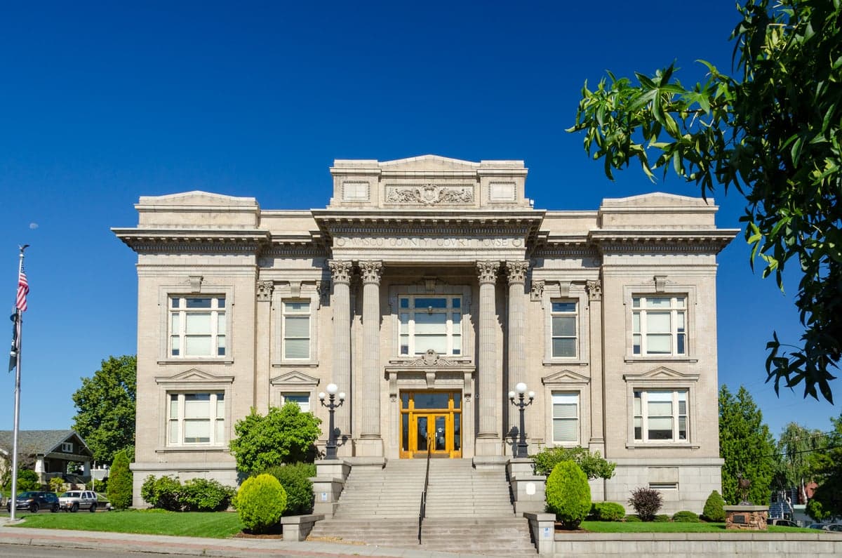
Photo: Wikipedia
Strategic Assessment of Wasco County
Strong survivability profile. Good buffer from population centers, with manageable environmental and tactical risks.
What does the Strategic Assessment tell us?
Our Strategic Assessment grades tactical survivability of an area. Major population centers, military targets, fallout zones, natural disasters, and border exposure all drive risk — lower exposure means a more defensible position in a crisis.
This is heavily inspired by Joel Skousen's Strategic Relocation book. Highly recommended you checkout the book ($)What does this tell us?
Our Strategic Assessment grades tactical survivability of an area. Major population centers, military targets, fallout zones, natural disasters, and border exposure all drive risk — lower exposure means a more defensible position in a crisis.
This is heavily inspired by Joel Skousen's Strategic Relocation book. Highly recommended you checkout the book ($)Strategic Pillars

Key Distances
Strategic Assessment Analysis
Wasco County, Oregon, offers a compelling strategic position for those prioritizing resilience and self-sufficiency, largely due to its location east of the Cascade Range and its role as a regional hub along the Columbia River Gorge. The county seat, The Dalles, sits at a critical transportation and energy crossroads, providing both advantages and exposures that a relocator must weigh carefully. While not immune to risks, the area’s relative isolation from major metropolitan centers like Portland (about 80 miles west) and its access to abundant water and renewable energy make it a serious candidate for a prepared household.
Geographic position and natural advantages for long-term security
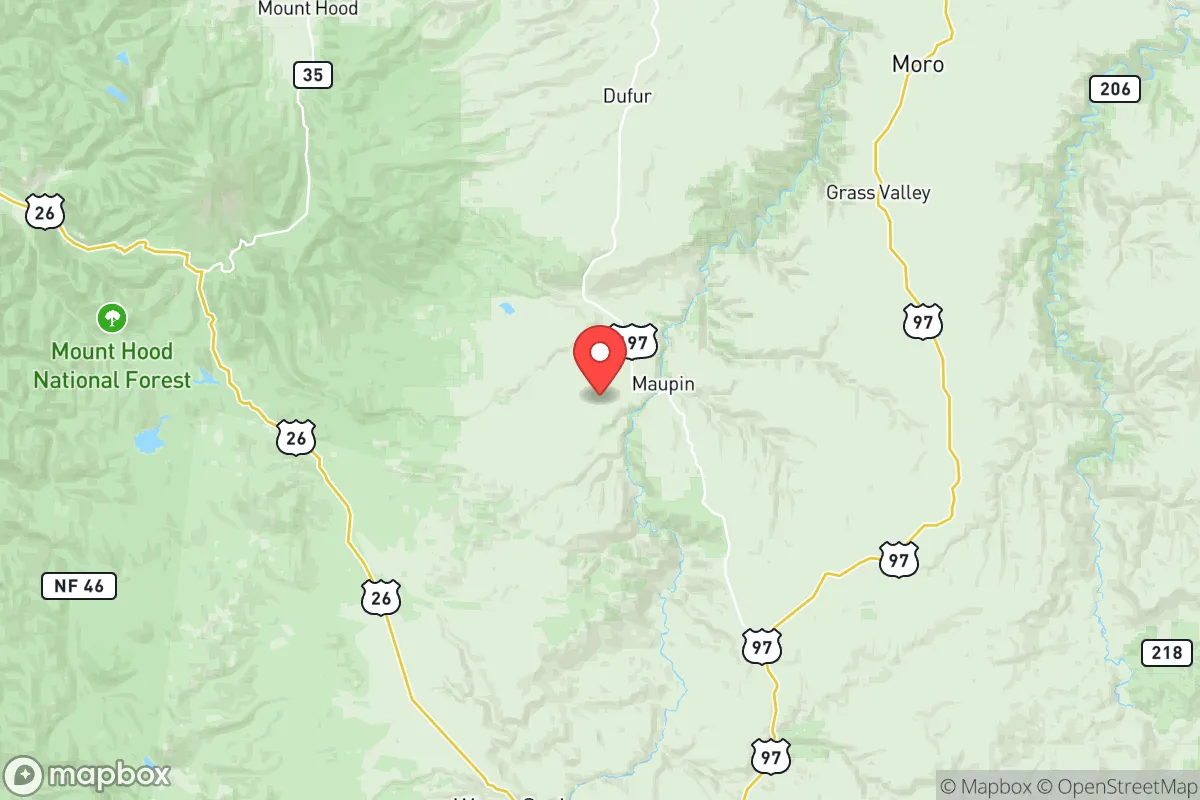
Wasco County’s geography is its strongest asset. The Columbia River forms its northern boundary, providing a reliable, high-volume freshwater source that is rare in the arid interior West. The Dalles Dam, a major hydroelectric facility, sits directly on the river, supplying the region with stable, low-cost electricity independent of the grid’s more vulnerable transmission lines. The county’s location in the rain shadow of the Cascades means over 300 days of sunshine per year, which supports solar power generation and dry-land farming of grains, hay, and livestock. The surrounding terrain—rolling hills, deep river canyons, and open plateaus—offers natural defensibility, with few chokepoints for large-scale movement. The city of Maupin, 45 miles south of The Dalles, sits on the Deschutes River and is a quiet, low-density option for those seeking even greater separation from population centers. The county’s position along Interstate 84 and the Union Pacific rail line provides logistical access without the congestion and vulnerability of the Willamette Valley.
Risks, exposures, and proximity to fallout-relevant landmarks
No location is without risk, and Wasco County has specific exposures that a strategic relocator must acknowledge. The most significant is the Columbia River Gorge itself, which acts as a natural wind tunnel and a major transportation corridor. A catastrophic event at the Portland Harbor or the nearby Bonneville Dam could disrupt river traffic and potentially contaminate the water supply downstream, though The Dalles is upstream of Bonneville. The county is also within 100 miles of the Hanford Site in Washington, a decommissioned nuclear production facility with significant radioactive waste storage. While prevailing winds generally blow east, a major release could affect the northern parts of the county. The Dalles is home to a large Google data center, which, while not a direct hazard, is a high-value infrastructure target that could draw attention in a conflict scenario. Wildfire risk is moderate but real, especially in the dry summer months, with the 2017 Eagle Creek Fire burning near the western edge of the county. The county’s population of roughly 26,000 is spread thin, which reduces disease transmission risk but also means limited local medical surge capacity—the nearest Level 1 trauma center is in Portland.
Practical resilience for a relocator: food, water, energy, and defensibility
For a household serious about self-sufficiency, Wasco County scores well on practical resilience. Water is the county’s trump card—the Columbia River is a virtually inexhaustible surface source, and groundwater in the basalt aquifers is generally abundant and of good quality. The Dalles has a municipal water treatment plant that draws directly from the river, but a well-equipped property with a backup pump and filtration system would provide true independence. Food production is viable: the county has a long agricultural history, with orchards, wheat fields, and cattle ranches. The growing season is short (about 120 days) but intense, and dryland farming techniques are well-established. Local food storage infrastructure exists, including grain elevators and cold storage facilities in The Dalles. Energy resilience is strong: the hydroelectric dam provides baseload power, and the region’s high solar insolation makes rooftop solar highly effective. Natural gas is available in The Dalles but not in rural areas, so propane or wood heating is common. Defensibility is aided by the county’s low population density and the natural barriers of the river and canyon walls. The Dalles itself is a compact town with a historic downtown and a grid layout that could be secured with minimal effort, though rural properties offer far greater standoff distance. The county’s law enforcement presence is thin—the Wasco County Sheriff’s Office has about 20 deputies for the entire county—so community-based security and personal preparedness are essential.
The overall strategic picture for Wasco County is one of a solid, if not exceptional, resilience candidate. Its strengths—abundant water, renewable energy, low population density, and agricultural capacity—are genuine and durable. Its weaknesses—proximity to Hanford, wildfire risk, and limited medical infrastructure—are manageable with proper planning. For a relocator who values independence and is willing to invest in off-grid systems and community relationships, the county offers a realistic balance of security and opportunity. The Dalles serves as a functional hub with hardware stores, medical clinics, and a regional airport, while towns like Maupin and Mosier provide quieter, more remote alternatives. Wasco County is not a bunker; it is a working landscape where resilience is built through practical knowledge and local ties, not through isolation alone.

* Values derived from national, state, county, city and local statistics and may differ in a specific area. Last updated: 2026-07-18T10:18:01.000Z
Narrative content on this page is AI-generated and may contain mistakes. Verify any details that matter before acting on them.
ReloMaps may earn a commission from affiliate links at no extra cost to you.

