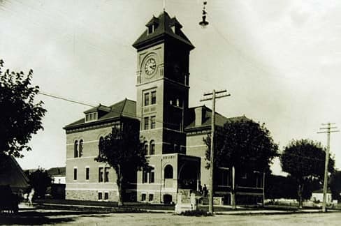
Photo: Wikipedia
Strategic Assessment of Lane County
Workable tactical position. Some exposure to population density or targets, but generally defensible in a crisis.
What does the Strategic Assessment tell us?
Our Strategic Assessment grades tactical survivability of an area. Major population centers, military targets, fallout zones, natural disasters, and border exposure all drive risk — lower exposure means a more defensible position in a crisis.
This is heavily inspired by Joel Skousen's Strategic Relocation book. Highly recommended you checkout the book ($)What does this tell us?
Our Strategic Assessment grades tactical survivability of an area. Major population centers, military targets, fallout zones, natural disasters, and border exposure all drive risk — lower exposure means a more defensible position in a crisis.
This is heavily inspired by Joel Skousen's Strategic Relocation book. Highly recommended you checkout the book ($)Strategic Pillars

Key Distances
Strategic Assessment Analysis
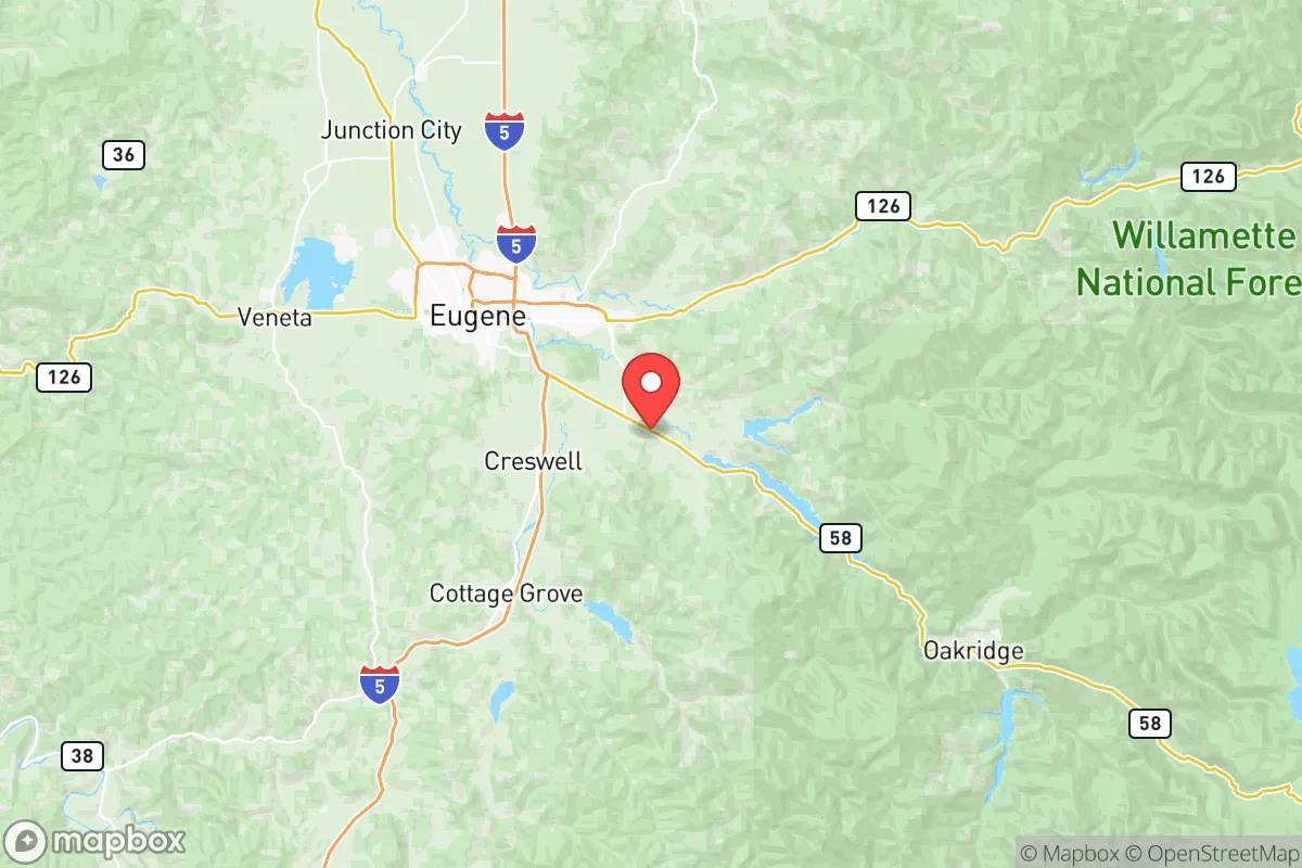
Lane County, Oregon, offers a compelling mix of geographic isolation and practical self-sufficiency that appeals to relocation-minded readers focused on resilience. Anchored by the city of Eugene and stretching from the Cascade Range to the Pacific Ocean, the county provides a buffer from major metropolitan fallout zones while retaining access to critical infrastructure. For a single individual or family weighing disaster readiness, Lane County’s position—roughly 110 miles south of Portland and 50 miles west of the Willamette Valley’s industrial core—strikes a balance between remoteness and livability that few West Coast counties can match.
Geographic position and natural advantages for long-term security
Lane County’s geography is its strongest asset for resilience. The county spans over 4,700 square miles, making it larger than several U.S. states, with a population density of roughly 55 people per square mile outside Eugene. The Cascade Range forms its eastern boundary, with the McKenzie River and Willamette River corridors providing reliable freshwater sources. The Coast Range to the west offers a natural barrier against tsunami surges, while the Willamette Valley floor—where most of the county’s 380,000 residents live—sits at a defensible elevation of 400–600 feet. Key towns like Springfield, Cottage Grove, and Florence each occupy distinct micro-regions: Springfield anchors the eastern valley near the McKenzie River, Cottage Grove sits at the southern gateway with access to the Row River watershed, and Florence provides a coastal fallback option with its own port and fishing fleet. The county’s position also places it outside the immediate blast radius of Portland’s urban center (a likely target in a conflict scenario) and away from the Bonneville Dam complex on the Columbia River, a critical infrastructure node that could be a secondary target. For a relocator, this means a lower probability of direct fallout exposure compared to counties closer to Portland or the Columbia River Gorge.
Risks, exposures, and proximity to fallout-relevant landmarks
No location is without vulnerabilities, and Lane County has specific exposures that a strategic relocator must weigh. The county sits within the Cascadia Subduction Zone, meaning a major earthquake (magnitude 8.0 or higher) is a geologic certainty within the next 50 years. The Eugene-Springfield urban corridor contains the Hayden Bridge and multiple rail bridges over the Willamette River—chokepoints that could fail in a seismic event, isolating the valley floor from eastern supply routes. The McKenzie River corridor, while scenic, is prone to landslides and debris flows after heavy rain or seismic shaking, as seen in the 2020 Holiday Farm Fire aftermath. On the man-made risk side, Lane County is home to the Eugene Water & Electric Board’s (EWEB) Hayden Bridge Filtration Plant, a critical water treatment facility that relies on the Willamette River—a water source vulnerable to upstream contamination from industrial sites in the Willamette Valley. The county also hosts the Oregon Air National Guard’s 173rd Fighter Wing at Kingsley Field in Klamath Falls (about 90 miles south), but more directly relevant is the Eugene Airport (Mahlon Sweet Field), which serves as a civilian and military cargo hub—a potential target in a conflict scenario. For fallout concerns, the county’s prevailing westerly winds mean that a nuclear event at the Portland Harbor Superfund site or the Columbia Generating Station (Washington’s only commercial nuclear plant, 180 miles north) would likely disperse contamination eastward, sparing Lane County from direct plume exposure. However, a ground burst at Joint Base Lewis-McChord (120 miles north) could send fallout southward under certain wind patterns, making a basement or interior shelter a prudent investment for any relocator.
Practical resilience for a relocator: food, water, energy, and defensibility
For a reader serious about self-sufficiency, Lane County’s practical resilience metrics are strong but require active preparation. The Willamette Valley is one of the most productive agricultural regions in the United States, with Lane County alone producing over $100 million annually in crops—including hazelnuts, grass seed, berries, and vegetables. The Eugene-Springfield area has a robust network of farmers’ markets, U-pick farms, and CSAs, while the Cottage Grove and Junction City areas offer larger tracts of arable land for homesteading. Water availability is excellent: the McKenzie River provides high-quality, gravity-fed water to Eugene and Springfield, and rural properties often have access to wells or spring-fed creeks. The county’s average annual rainfall of 45–55 inches means rainwater catchment is viable for most of the year, though summer droughts (July–September) require storage planning. Energy resilience is mixed: the Eugene Water & Electric Board and Springfield Utility Board both source a significant portion of their power from hydroelectric dams on the McKenzie and Willamette rivers, which are vulnerable to seismic disruption. However, the county has growing solar adoption (over 5,000 residential installations as of 2025) and a network of small-scale hydro projects that could be repurposed for off-grid use. Defensibility is Lane County’s hidden strength: the valley floor is bounded by the Coast Range to the west and the Cascades to the east, creating natural chokepoints at Lowell (where the McKenzie River narrows) and Oakridge (the only major pass over the Cascades to central Oregon). Rural properties in the Fall Creek and Mohawk Valley areas offer terrain that is difficult to approach without detection, with dense forest cover and limited road access. For a family, the county’s network of small towns—each with its own fire department, grocery store, and medical clinic—provides redundancy that a single urban center cannot match.
The overall strategic picture for Lane County is one of calculated advantage. It avoids the highest-risk zones of the Portland metro and the Columbia River corridor while retaining access to the Willamette Valley’s agricultural wealth and the Pacific Coast’s maritime resources. The primary trade-offs are seismic risk (which can be mitigated through building upgrades and supply caches) and the need for active community engagement—rural Lane County is not a place for hermits, but for those willing to build relationships with neighbors who share a preparedness mindset. For a conservative-leaning relocator who values self-reliance, local governance, and physical distance from urban chaos, Lane County offers a rare combination of natural abundance, geographic defensibility, and a culture that still values individual initiative. The key is to arrive prepared, not expecting the county to do the work for you.

* Values derived from national, state, county, city and local statistics and may differ in a specific area. Last updated: 2026-06-15T09:11:58.000Z
Narrative content on this page is AI-generated and may contain mistakes. Verify any details that matter before acting on them.
ReloMaps may earn a commission from affiliate links at no extra cost to you.

